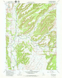
1965 Map of Palo Cedro
USGS Topo · Published 1979About this map
Cow Creek and its many tributaries, including Clover Creek and Oak Run Creek, dominate this mid-century landscape of Shasta County. The settlement of Palo Cedro sits at a crossroads in the west, while Millville serves as a secondary hub to the east, connected by the local road network. Educational life is anchored by North Cow Creek Sch, Junction Sch, and Millville Sch, indicating a dispersed but established rural community.
Find a feature on this map
31 named features on this map. Tap any name to fly to it.
Don’t see what you’re looking for? This feature index may not catch every label — zoom into the map to look around manually.
Map Details
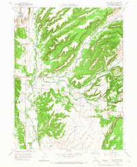
Editions of this 1965 Palo Cedro Map
2 editions found
Other maps of this area

1890 · Red Bluff
USGS Topo · 1:250,000

1894 · Red Bluff
USGS Topo · 1:250,000

1901 · Redding
USGS Topo · 1:125,000

1944 · Redding
USGS Topo · 1:62,500

1944 · Tuscan Buttes
USGS Topo · 1:62,500

1946 · Redding
USGS Topo · 1:62,500

1947 · Tuscan Buttes
USGS Topo · 1:62,500

1947 · Anderson
USGS Topo · 1:62,500

1948 · Anderson
USGS Topo · 1:62,500

1953 · Millville
USGS Topo · 1:62,500