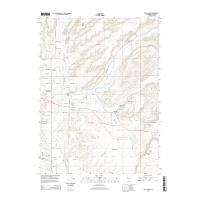
2015 Map of Palo Cedro
USGS Topo · Published 2015About this map
Millville and Palo Cedro serve as the primary hubs in this part of Shasta County, where the transition from open range to suburban residential development is evident in the network of new roads branching off Deschutes Rd. The landscape is defined by its drainages, including Oak Run Creek, Clover Creek, and Old Cow Creek, which cut through the broad stretches of the Millville Plains and Swede Creek Plains. A notable local landmark is the Independent Order of Odd Fellows Cemetery located east of Millville, a significant site for genealogists tracking early area families.
Find a feature on this map
149 named features on this map. Tap any name to fly to it.
Don’t see what you’re looking for? This feature index may not catch every label — zoom into the map to look around manually.
Map Details
Editions of this 2015 Palo Cedro Map
This is the sole edition of this map. No revisions or reprints were ever made.
Other maps of this area

1890 · Red Bluff
USGS Topo · 1:250,000

1894 · Red Bluff
USGS Topo · 1:250,000

1901 · Redding
USGS Topo · 1:125,000

1944 · Redding
USGS Topo · 1:62,500

1944 · Tuscan Buttes
USGS Topo · 1:62,500

1946 · Redding
USGS Topo · 1:62,500

1947 · Tuscan Buttes
USGS Topo · 1:62,500

1947 · Anderson
USGS Topo · 1:62,500

1948 · Anderson
USGS Topo · 1:62,500

1953 · Millville
USGS Topo · 1:62,500