1910s Maps of Sutter County, California
Explore 23 historic maps of Sutter County from the 1910s. These maps offer a rare glimpse into what life looked like during the 1910s — showing old roads, neighborhoods, homes, and landmarks that have changed or disappeared over time.
Whether you're researching your family's past, planning a metal detecting trip, or studying how Sutter County's landscape evolved across the 1910s, these high-resolution maps are a powerful tool for exploring the history of this region.
- Focus on a specific era: All maps on this page are from the 1910s, giving you a focused view of this time period.
- See what’s changed: Compare century-old streets, trails, and buildings to today's modern landscape using overlays and satellite layers.
- Research with precision: Use these maps for genealogy, historical research, land use analysis, or educational projects.
- View, download, or print: Maps are fully viewable online in high resolution, and can be downloaded or printed for your own records.
Start exploring Sutter County's history through authentic maps from the 1910s. This is your window into the past.
Sutter County, CA maps
(23)- 1910 Map of Sheridan
 1910 Sheridan1910 Print · USGSNear the Placer and Sutter county line in the early 1900s, this area was a landscape of historic land grants and vital rail links. Genealogists and historians can trace the tracks of the S. P. R. R. (Marysville Line) past Sheridan and locate the rural Fairview School.2 unique versions available
 - 1910 Map of Knights Landing
 1910 Knights Landing1910 Print · USGSIn the early 1900s, the Sacramento Valley landscape was a network of winding river bends and sloughs centered on the rail-and-river hub of Knights Landing. You can trace old waterways and rail lines like the Southern Pacific Branch and search for family landmarks near Mc Griff Lakes or Mary Lake.2 unique versions available
 - 1910 Map of Vernon
 1910 Vernon1910 Print · USGSThe river-and-rail economy of Sutter County comes alive in the early 1900s at the confluence of the Sacramento and Feather rivers. Researchers can trace the landing sites at Vernon Landing, early post offices like Vernon Verona P. O., and rural schoolhouses such as Lee School.2 unique versions available
 - 1910 Map of Nicolaus
 1910 Nicolaus1910 Print · USGSSutter County thrives at the junction of the Feather and Bear rivers during the early 1900s rail expansion. Genealogy and local history researchers can trace old rail stops at Nicolaus Sta and Rio Oso or locate landmarks like the Illinois School.2 unique versions available
 - 1910 Map of Pleasant Grove
 1910 Pleasant Grove1910 Print · USGSThe Sacramento Valley landscape near the Sutter and Placer county line appears here in the early twentieth century, dominated by agricultural plains and interurban rail. Researchers can trace the early path of the Northern Electric RR and find rural landmarks like Eagle School and Alpha School.2 unique versions available
 - 1910 Map of Marcuse
 1910 Marcuse1910 Print · USGSSutter County at the end of the Edwardian era is captured here as a grid of pioneering farms and drainage projects. Genealogists and local historians can locate early landmarks like Central School, the settlement of Marcuse, and the winding path of Nelson Slough.3 unique versions available
 - 1911 Map of Sutter
 1911 Sutter1911 Print · USGSAgricultural life in the Sacramento Valley thrived during the early 1900s, anchored by the iconic Marysville Buttes. Genealogists and historians can trace the local school districts of Liveoak School and Washington School or locate rail stops at Nuestro and Encinal.
 - 1911 Map of Sanborn Slough
 1911 Sanborn Slough1911 Print · USGSIn the wetlands of the Sacramento Valley before modern flood control, this early century survey captures the seasonal landscape of the Colusa and Butte county lines. Trace the historical hydrology of Butte Sink and find the site of the Harmony School.
 - 1911 Map of Yuba City
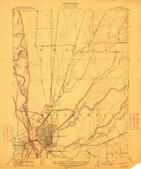 1911 Yuba City1911 Print · USGSThe confluence of the Feather and Yuba Rivers comes to life in the early twentieth century, showing a region deeply tied to its rail and water networks. Genealogists and historians can trace the exact 1909 footprints of Marysville, Woodruff School, and the Southern Pacific RR.2 unique versions available
 - 1911 Map of Grimes
 1911 Grimes1911 Print · USGSColusa County at the start of the century is a landscape shaped by the winding Sacramento River and its intricate slough systems. Trace early riverfront life at Grimes, locate the historic Rancheria, or follow the path of the Hannum Bridge.
 - 1911 Map of Arcade
 1911 Arcade1911 Print · USGSNorth of Sacramento in the early 1900s, the landscape was being reshaped by a dense network of competing railroads and emerging rural communities. Local historians can trace the early footprints of Elverta and Robla alongside landmarks like the Oak Grove School and the Northern Electric line.2 unique versions available
 - 1911 Map of Gilsizer Slough
 1911 Gilsizer Slough1911 Print · USGSSutter County's agricultural heartland is documented here in the years before heavy industrialization, showing the natural meanders of the Snake River. Family historians can pinpoint early landmarks like Lincoln School and O'Bannon School along the winding Gilsizer Slough.
 - 1911 Map of Ostrom
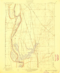 1911 Ostrom1911 Print · USGSThe Yuba County lowlands were a hub of competing rail lines and river transport in the years before the Great War. Genealogists can trace family footprints near Ella School, the stop at Alicia, or the historic wetlands of Plumas Lake.
 - 1912 Map of Marysville Buttes
 1912 Marysville Buttes1912 Print · USGSSutter County is defined by its striking volcanic peaks and low-lying wetlands at the start of the twentieth century. Genealogists and researchers can locate landmarks like Slough School and Sutter, or trace old crossings at Long Bridge and Butte Slough.3 unique versions available
 - 1912 Map of Pennington
 1912 Pennington1912 Print · USGSThe foothills of the Marysville Buttes met the developing farmsteads of the Sacramento Valley just before World War I. Genealogists and local historians can locate the old Butte School and the early layout of Pennington along the county line.2 unique versions available
 - 1912 Map of Meridian
 1912 Meridian1912 Print · USGSThe Sacramento Valley riverlands and the western foothills of the volcanic buttes are captured here just before the era of modern levee and bypass systems. You can locate rural schoolhouses like Farmers School and trace the early boundaries of Butte Sink and the town of Meridian.2 unique versions available
 - 1912 Map of Tisdale Weir
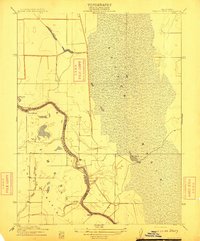 1912 Tisdale Weir1912 Print · USGSSutter and Colusa Counties appear here in the early twentieth century as a landscape defined by the river and its flood basins. Researchers can trace the river economy through Dunns Ferry, Fraziers Landing, and the namesake Tisdale Weir.
 - 1912 Map of Honcut
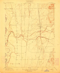 1912 Honcut1912 Print · USGSThe rural borderlands of Butte and Yuba counties come into focus at the height of the steam rail era. Researchers can trace the legacy of early valley education and transport through local landmarks like Central School, the village of Honcut, and the tracks of the Southern Pacific.
 - 1912 Map of Gridley
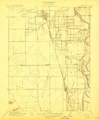 1912 Gridley1912 Print · USGSThe Sacramento Valley at the height of its early rail-and-canal era reveals a landscape of planned agricultural colonies and riverfront commerce. Genealogists and local historians can trace the growth of Gridley and Liveoak alongside early schools like Manzanito School.
 - 1915 Map of Ronda
 1915 Ronda1915 Print · USGSThe Sacramento Valley comes alive in this early century survey of the Yolo and Sutter county lines. Researchers can trace the shifting riverbank at Rough and Ready Landing or follow the Southern Pacific (Woodland Line) through Ronda.
 - 1915 Map of Kirkville
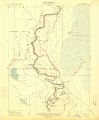 1915 Kirkville1915 Print · USGSThe Sacramento River valley at the turn of the century was a landscape of winding oxbows and essential steamboat stops. Genealogists can trace family-named river points like Poffenberger's Landing, Miller's Landing, and the early settlement at Kirkville.
 - 1915 Map of Elkhorn Weir
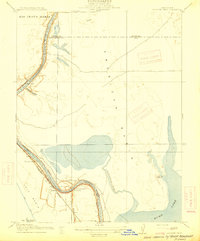 1915 Elkhorn Weir1915 Print · USGSThe Sacramento Valley in the early 1900s was a landscape defined by the river and its vast basins. Genealogists and historians can trace early landings and river crossings at Datey's Ferry, Mound Ranch, and the Elkhorn Weir.
 - 1916 Map of Grays Bend
 1916 Grays Bend1916 Print · USGSYolo County at the start of the twentieth century shows a landscape transitioning through large-scale drainage and rail expansion. Genealogists can trace family-named sites like Langenour and Curtis along the Sacramento and Woodland rail line.
End of results
Showing maps 1-23 of 23
Top cities of Sutter County
Frequently asked questions
- What are the different types of historical maps available for Sutter County?
- What is the oldest map of Sutter County?
- Where can I purchase historical maps of Sutter County for my home or office?
- Where can I download high-res historical maps of Sutter County?
- Are there historical topographic maps available for Sutter County?
- Is there historical aerial imagery available for Sutter County?
- Where are historical maps of Sutter County sourced from?