2000s (21st Century) Maps of Yuba City, California
Explore 16 historic maps of Yuba City from the 2000s (21st Century). These maps offer a rare glimpse into what life looked like during the 2000s — showing old roads, neighborhoods, homes, and landmarks that have changed or disappeared over time.
Whether you're researching your family's past, planning a metal detecting trip, or studying how Yuba City's landscape evolved across the 2000s, these high-resolution maps are a powerful tool for exploring the history of this region.
- Focus on a specific era: All maps on this page are from the 2000s, giving you a focused view of this time period.
- See what’s changed: Compare century-old streets, trails, and buildings to today's modern landscape using overlays and satellite layers.
- Research with precision: Use these maps for genealogy, historical research, land use analysis, or educational projects.
- View, download, or print: Maps are fully viewable online in high resolution, and can be downloaded or printed for your own records.
Start exploring Yuba City's history through authentic maps from the 2000s. This is your window into the past.
Yuba City, CA maps
(16)- 2012 Map of Sutter, 2012 Print
 2012 Sutter2012 Print · USGSCovers Yuba City, including Nuestro, Sullivan, and other nearby areas
 - 2012 Map of Gilsizer Slough, 2012 Print
 2012 Gilsizer Slough2012 Print · USGSCovers Yuba City, including South Yuba City, Oswald, and other nearby areas
 - 2012 Map of Yuba City, 2012 Print
 2012 Yuba City2012 Print · USGSCovers Yuba City, including Marysville, Dantoni, and other nearby areas
 - 2012 Map of Olivehurst, 2012 Print
 2012 Olivehurst2012 Print · USGSCovers Yuba City, including Linda, Olivehurst, and other nearby areas
 - 2015 Map of Gilsizer Slough, 2015 Print
 2015 Gilsizer Slough2015 Print · USGSCovers Yuba City, including South Yuba City, Oswald, and other nearby areas
 - 2015 Map of Yuba City, 2015 Print
 2015 Yuba City2015 Print · USGSCovers Yuba City, including Marysville, Dantoni, and other nearby areas
 - 2015 Map of Sutter, 2015 Print
 2015 Sutter2015 Print · USGSCovers Yuba City, including Nuestro, Sullivan, and other nearby areas
 - 2015 Map of Olivehurst, 2015 Print
 2015 Olivehurst2015 Print · USGSCovers Yuba City, including Linda, Olivehurst, and other nearby areas
 - 2018 Map of Sutter, 2018 Print
 2018 Sutter2018 Print · USGSCovers Yuba City, including Nuestro, Sullivan, and other nearby areas
 - 2018 Map of Gilsizer Slough, 2018 Print
 2018 Gilsizer Slough2018 Print · USGSCovers Yuba City, including South Yuba City, Oswald, and other nearby areas
 - 2018 Map of Yuba City, 2018 Print
 2018 Yuba City2018 Print · USGSCovers Yuba City, including Marysville, Dantoni, and other nearby areas
 - 2018 Map of Olivehurst, 2018 Print
 2018 Olivehurst2018 Print · USGSCovers Yuba City, including Linda, Olivehurst, and other nearby areas
 - 2021 Map of Sutter, 2021 Print
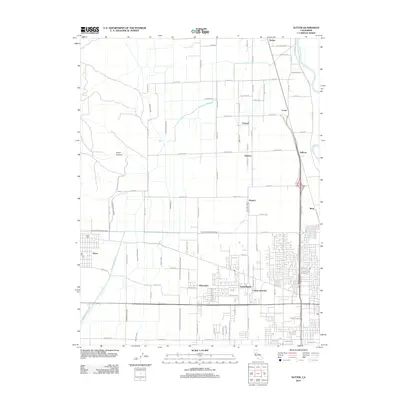
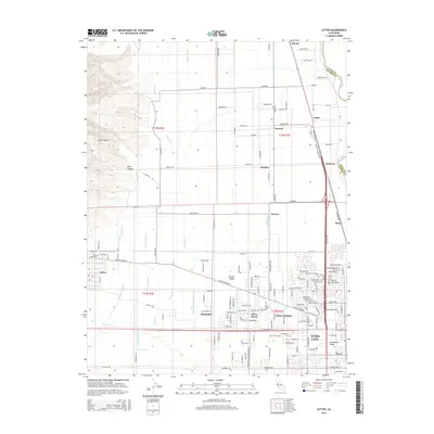
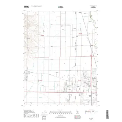
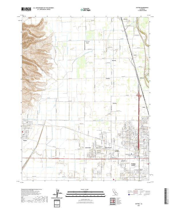 2021 Sutter2021 Print · USGSThe northern Sacramento Valley's agricultural and suburban landscape is captured here in the early twenty-first century. Researchers can trace the irrigation networks like the Wadsworth Canal and locate local landmarks such as Sutter Cem and Sutter Butte -Dusters- Airport.
 - 2021 Map of Olivehurst, 2021 Print
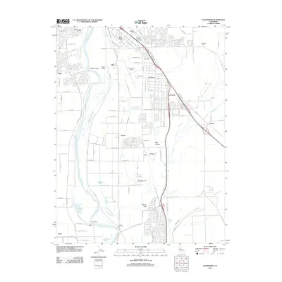
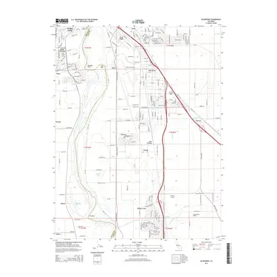
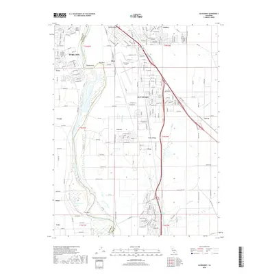
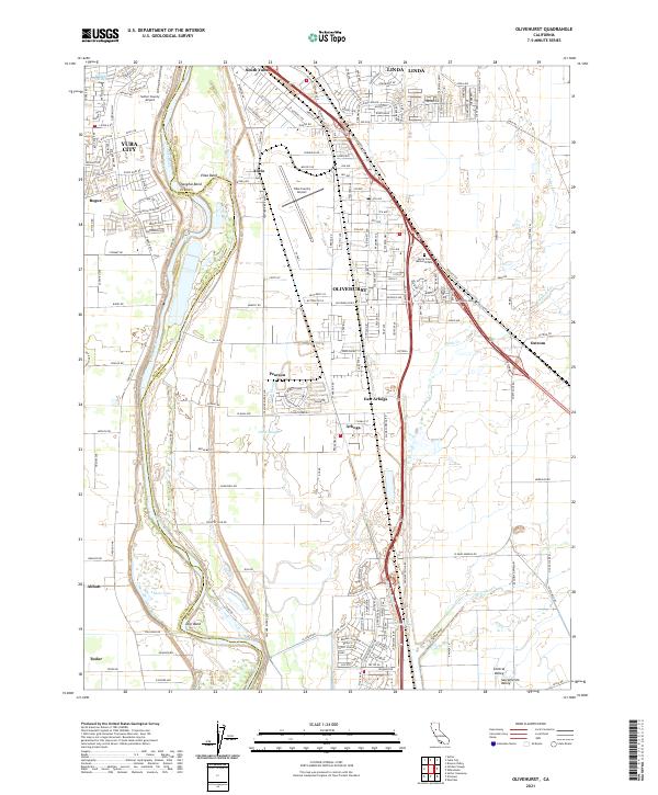 2021 Olivehurst2021 Print · USGSThe Feather River valley comes to life in this survey of the communities south of Marysville in the early 2020s. Researchers can trace the river's path through Shanghai Bend or locate family sites near Olivehurst, Arboga, and Abbott Lake.
 - 2021 Map of Yuba City, 2021 Print
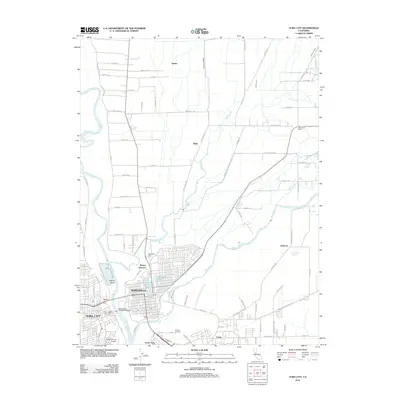
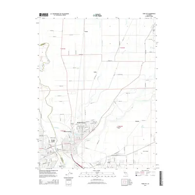
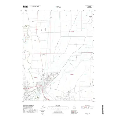
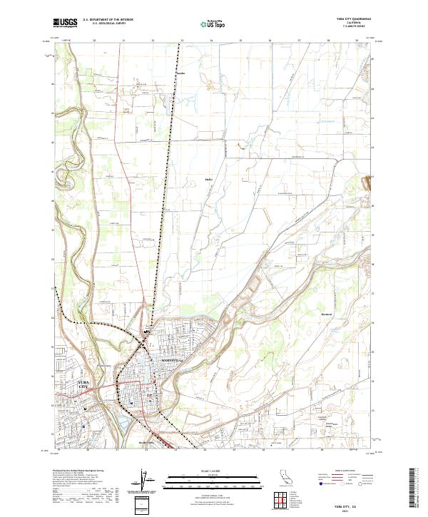 2021 Yuba City2021 Print · USGSThe riverfront twin cities of Marysville and Yuba City are captured here at their historic confluence. Researchers can trace ancestral sites at the Marysville Jewish Cem or locate rural landmarks like Willow Island and the Old River Channel.
 - 2022 Map of Gilsizer Slough, 2022 Print
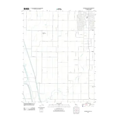
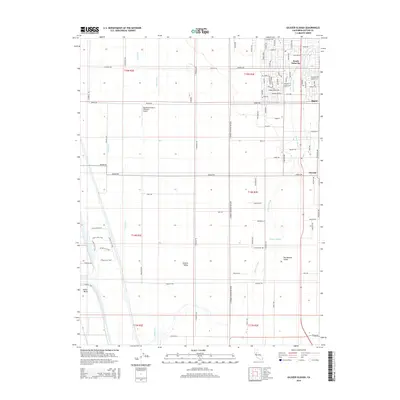
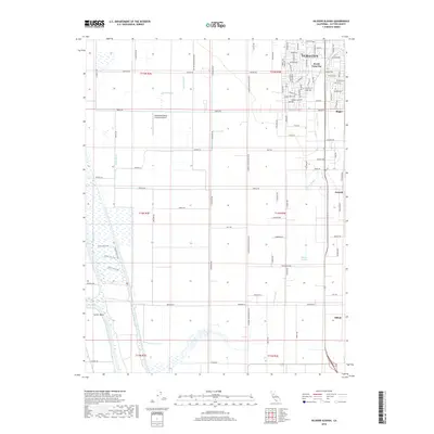
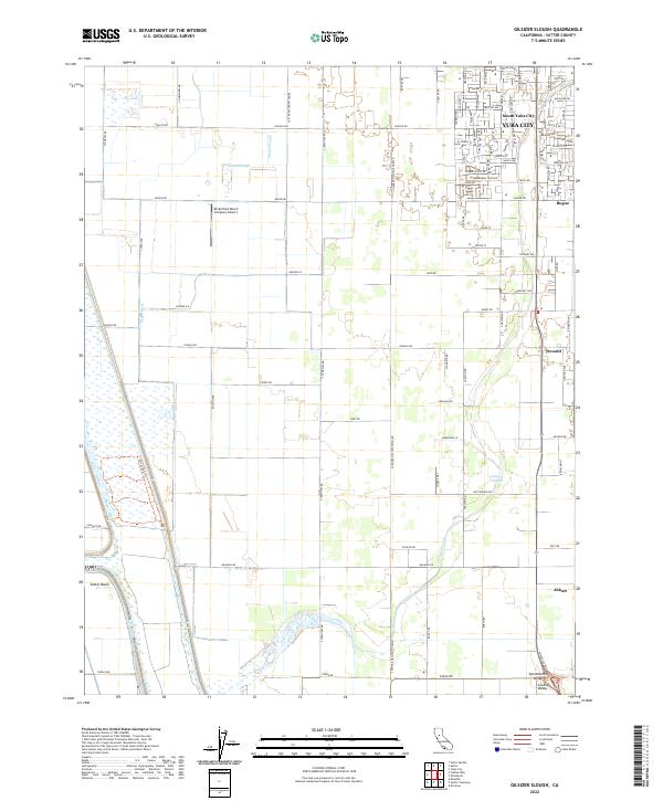 2022 Gilsizer Slough2022 Print · USGSSutter County at the start of the 2020s reveals a precision-engineered landscape of the Sacramento Valley floor. Trace the evolution of agricultural settlements like Oswald and Abbott or explore the drainage systems around Gilsizer Slough and the Sutter Basin.
End of results
Showing maps 1-16 of 16
Top cities near Yuba City
- Linda historical maps
- Olivehurst historical maps
- Marysville historical maps
- Live Oak historical maps
- Gridley historical maps
- Plumas Lake historical maps
See more
Frequently asked questions
- What are the different types of historical maps available for Yuba City?
- What is the oldest map of Yuba City?
- Where can I purchase historical maps of Yuba City for my home or office?
- Where can I download high-res historical maps of Yuba City?
- Are there historical topographic maps available for Yuba City?
- Is there historical aerial imagery available for Yuba City?
- Where are historical maps of Yuba City sourced from?