Old Maps of Los Molinos, California for Hiking & Exploration
Hike through history with 23 historic maps of Los Molinos. Explore old trails, ghost towns, and forgotten backroads — perfect for outdoor adventurers and local explorers.
- Rediscover forgotten places: Map out old mining camps, roads, and footpaths that no longer exist on modern maps.
- Layer with modern tools: Combine with LiDAR or satellite views to plan hikes through historical terrain.
- Made for exploration: Popular among hikers, overlanders, and local history lovers.
Use these maps to find adventure and explore the hidden past of Los Molinos.
Los Molinos, CA maps
(23)- 1890 Map of Red Bluff
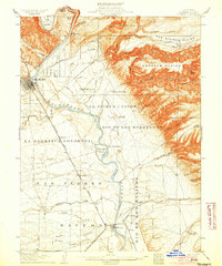
 1890 Red Bluff1890 Print · USGSNorthern California in the late nineteenth century was a hub of river-and-rail activity where the Central Pacific Railroad met the rugged Klamath Mountains. Researchers can trace old ferry crossings like Ball's Ferry, locate the U.S. Fishery, or find early mining camps and stations such as Minersville and Buck Horn Station.
 - 1894 Map of Red Bluff, 1896 Print
 1894 Red Bluff1896 Print · USGSNorthern California's mining and river-trading frontier comes alive in this survey of the late nineteenth century. Genealogists and historians can trace the growth of rail hubs like Redding or locate early river crossings and industrial sites such as Jelley's Ferry and the Copper Mine.6 unique versions available
 - 1904 Map of Vina
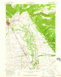
 1904 Vina1904 Print · USGSThe Sacramento Valley comes alive in this early century study of the river corridor between Tehama and Butte counties. Trace the rail-and-river economy through the Winery at Vina, the Squaw Hill Ferry, and the planned Lemon Home Colony.3 unique versions available
 - 1905 Map of Tehama
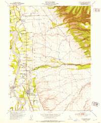
 1905 Tehama1905 Print · USGSThe Sacramento Valley in the early nineteen-hundreds is shown here at a peak of early rail and river development. Local researchers can trace the Shasta Route through Red Bluff and Tehama, or locate landmarks like the U. S. Fishery and Tuscan Springs.4 unique versions available
 - 1950 Map of Vina, 1957 Print
 1950 Vina1957 Print · USGSUpper Sacramento River life in the mid-fifties centered on the fertile lands of the historic Bosquejo grant. Researchers can trace the river's path past Copeland Bar, locate rural schoolhouses like Moon School, and follow the Southern Pacific tracks through Vina.3 unique versions available
 - 1951 Map of Vina
 1951 Vina1951 Print · USGSIn the Sacramento Valley during the early fifties, this area shows a complex network of irrigation and rail-river transport. Researchers can trace rural landmarks like the Moon School, the Southern Pacific Railroad line, and Gardiner Ferry Road.2 unique versions available
 - 1951 Map of Corning, 1959 Print
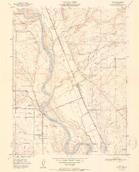
 1951 Corning1959 Print · USGSThe Sacramento Valley in the early fifties shows a region defined by its river landings and expanding rail infrastructure. Researchers can locate family-named schools and vanished river sites such as McIntosh Landing, Kirkwood Cemetery, and Union High School.3 unique versions available
 - 1952 Map of Los Molinos, 1953 Print
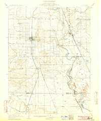
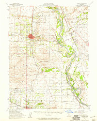
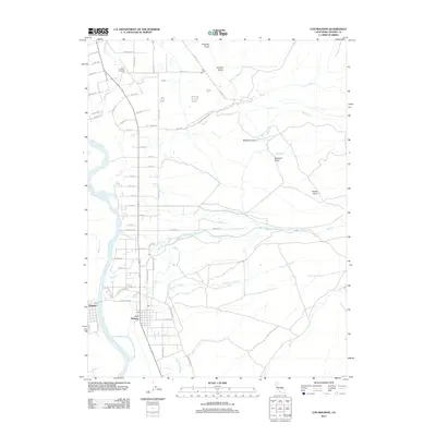
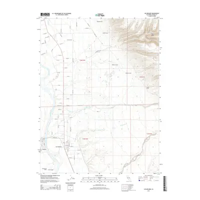
 1952 Los Molinos1953 Print · USGSTehama County agriculture and transit flourish during the early fifties as the railroad and river shape local growth. Trace the development of Los Molinos and Tehama near the Southern Pacific line and family landmarks like the Lassen View Union School.4 unique versions available
 - 1952 Map of Red Bluff, 1959 Print
 1952 Red Bluff1959 Print · USGSTehama County in the early fifties shows a bustling valley landscape of river-side grants and railroad towns. Genealogists and local historians can trace family-named sites such as Oak Hill Cem, the Los Molinos Grange, and the Antelope Sch.3 unique versions available
 - 1957 Map of Ukiah, 1966 Print
 1957 Ukiah1966 Print · USGSNorthern California's diverse terrain comes into focus in the mid-1950s, from the rugged timberlands of the Jackson State Forest to the productive Sacramento Valley. Genealogists and historians can trace the rail lines of the Northwestern Pacific or locate early valley settlements like Arbuckle and Paskenta.3 unique versions available
 - 1958 Map of Redding
 1958 Redding1958 Print · USGSNorthern California's valley and mountain landscapes are captured in the late fifties, showing the region as new reservoirs reshaped the river systems. Genealogists and historians can trace rail-side towns like Cottonwood, the military presence at Red Bluff Air Force Station, and mountain outposts like Weaverville.5 unique versions available
 - 1960 Map of Ukiah
 1960 Ukiah1960 Print · USGSNorthern California during the late fifties reveals a landscape of deep timber forests and valley agriculture before modern expansion. Trace the historic rail lines of the California Western RR and the Northwestern Pacific RR through settlements like Fort Bragg and Ukiah.2 unique versions available
 - 1979 Map of Red Bluff
 1979 Red Bluff1979 Print · USGSTehama and Shasta counties come alive in the late seventies as the agricultural heart of the northern valley meets the high wilderness. Genealogists and local historians can trace the rail-and-river corridor from Red Bluff to Los Molinos, finding sites like Balls Ferry and the Southern Pacific line.3 unique versions available
 - 1987 Map of Willows, 1988 Print
 1987 Willows1988 Print · USGSThe northern Sacramento Valley meets the Coast Range in the late eighties, showing a landscape defined by water and transit. Researchers can trace the Southern Pacific railroad past Artois and Corning, or locate family-named landmarks like Larkins Childrens Rancho and Snaden Island.2 unique versions available
 - 2012 Map of Vina, 2012 Print
 2012 Vina2012 Print · USGSCovers Los Molinos, including Vina, Loybas Hill, and other nearby areas
 - 2012 Map of Los Molinos, 2012 Print
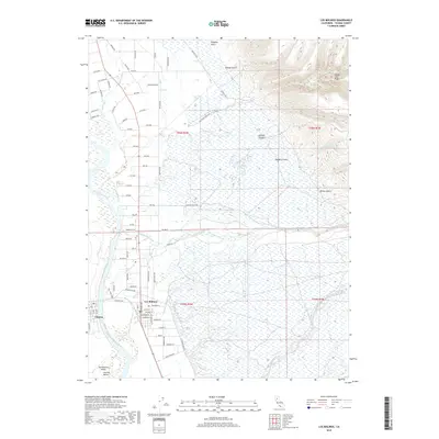
 2012 Los Molinos2012 Print · USGSCovers Los Molinos, including Tehama, Tehama County, and other nearby areas
 - 2015 Map of Vina, 2015 Print
 2015 Vina2015 Print · USGSCovers Los Molinos, including Vina, Loybas Hill, and other nearby areas
 - 2015 Map of Los Molinos, 2015 Print
 2015 Los Molinos2015 Print · USGSCovers Los Molinos, including Tehama, Tehama County, and other nearby areas
 - 2018 Map of Vina, 2018 Print
 2018 Vina2018 Print · USGSCovers Los Molinos, including Vina, Loybas Hill, and other nearby areas
 - 2018 Map of Los Molinos, 2018 Print
 2018 Los Molinos2018 Print · USGSCovers Los Molinos, including Tehama, Tehama County, and other nearby areas
 - 2021 Map of Los Molinos, 2021 Print
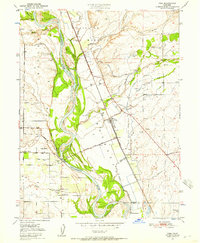
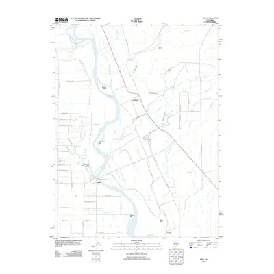
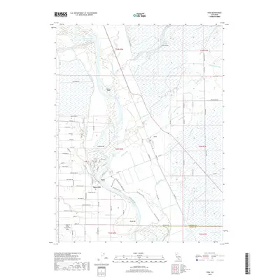
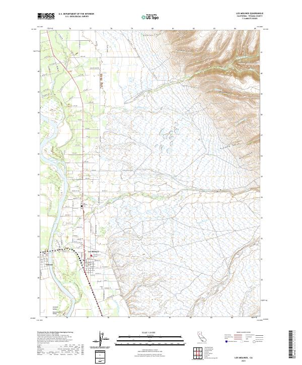 2021 Los Molinos2021 Print · USGSThe Sacramento River corridor and the foothills of Tehama County are shown here at the start of the 2020s. Researchers can trace family sites near Los Molinos Cemetery or follow the seasonal drainages of Mill Creek and Champlin Slough.
 - 2022 Map of Vina, 2022 Print
 2022 Vina2022 Print · USGSCovers Los Molinos, including Vina, Loybas Hill, and other nearby areas
 - 2023 Map of Vina, 2023 Print
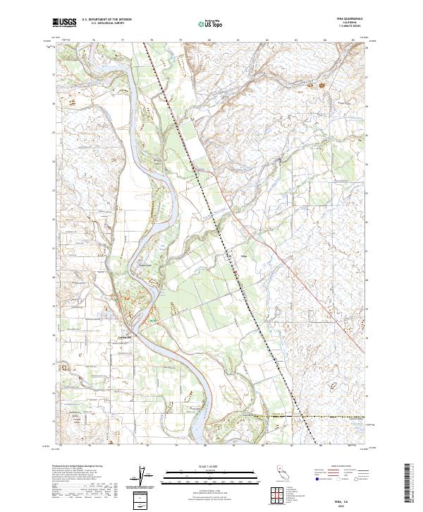 2023 Vina2023 Print · USGSThe Sacramento River floodplain south of Red Bluff comes into focus in this contemporary survey of the Vina area. Researchers can trace irrigation networks like the North Main Canal and locate riverside landmarks such as Hazel Bend and Loybas Hill.
End of results
Showing maps 1-23 of 23
Top cities near Los Molinos
- Chico historical maps
- Red Bluff historical maps
- Corning historical maps
- Tehama historical maps
- Vina historical maps
Frequently asked questions
- What are the different types of historical maps available for Los Molinos?
- What is the oldest map of Los Molinos?
- Where can I purchase historical maps of Los Molinos for my home or office?
- Where can I download high-res historical maps of Los Molinos?
- Are there historical topographic maps available for Los Molinos?
- Is there historical aerial imagery available for Los Molinos?
- Where are historical maps of Los Molinos sourced from?