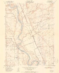
1951 Map of Vina
USGS Topo · Published 1951About this map
The Sacramento River defines the western edge of this landscape, its winding course marked by Copeland Bar and Kopta Slough. Just east of the water, the Southern Pacific Railroad runs parallel to the river, serving the settlement of Vina and connecting the region's agricultural interests. This area is heavily defined by its water management systems, including an extensive network of irrigation features like the Main Canal and both the North Fork and South Fork Deer Creek.
Find a feature on this map
38 named features on this map. Tap any name to fly to it.
Don’t see what you’re looking for? This feature index may not catch every label — zoom into the map to look around manually.
Map Details
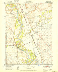
Editions of this 1951 Vina Map
2 editions found
Other maps of this area

1886 · Lassen Peak
USGS Topo · 1:250,000

1890 · Red Bluff
USGS Topo · 1:250,000

1891 · Chico
USGS Topo · 1:125,000

1892 · Lassen Peak
USGS Topo · 1:250,000
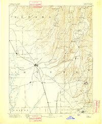
1893 · Chico
USGS Topo · 1:125,000

1894 · Lassen Peak
USGS Topo · 1:250,000

1894 · Red Bluff
USGS Topo · 1:250,000
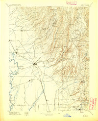
1895 · Chico
USGS Topo · 1:125,000
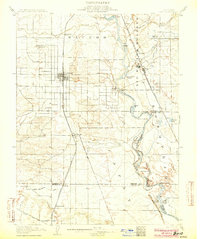
1904 · Vina
USGS Topo · 1:62,500
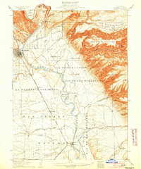
1905 · Tehama
USGS Topo · 1:62,500