Old Maps of Bucktail, California for Metal Detecting
Plan your next treasure hunt with 13 historic maps of Bucktail. Find old homesites, ghost towns, trails, and gathering spots that may be lost to time — perfect for identifying promising metal detecting locations.
- Locate forgotten sites: Uncover places like long-lost settlements, abandoned rail lines, or gathering spots.
- Plan better hunts: Use map overlays combined with LiDAR or satellite views to narrow in on historically rich areas.
- Made for detectorists: Thousands of hobbyists use these maps to discover relics, coins, and hidden history.
Use these historic maps to boost your research and find new opportunities beneath the surface of Bucktail.
Bucktail, CA maps
(13)- 1890 Map of Red Bluff
 1890 Red Bluff1890 Print · USGSNorthern California in the late nineteenth century was a hub of river-and-rail activity where the Central Pacific Railroad met the rugged Klamath Mountains. Researchers can trace old ferry crossings like Ball's Ferry, locate the U.S. Fishery, or find early mining camps and stations such as Minersville and Buck Horn Station.
 - 1894 Map of Red Bluff, 1896 Print
 1894 Red Bluff1896 Print · USGSNorthern California's mining and river-trading frontier comes alive in this survey of the late nineteenth century. Genealogists and historians can trace the growth of rail hubs like Redding or locate early river crossings and industrial sites such as Jelley's Ferry and the Copper Mine.6 unique versions available
 - 1913 Map of Weaverville
 1913 Weaverville1913 Print · USGSTrinity and Shasta counties appear here during a peak era of mountain mining and ranching before the mid-century reservoirs were built. Genealogists can trace early homesteads and industrial sites like Whiskytown, Minersville, and the Gladstone Mine.6 unique versions available
 - 1950 Map of Weaverville, 1957 Print
 1950 Weaverville1957 Print · USGSTrinity County's gold mining heritage remains prominent in the 1950s, centered on the historic town of Weaverville. Genealogists and historians can trace the cultural landscape through the Chinese Cem, La Grange Mine, and the remote Blanchard Flat School.2 unique versions available
 - 1952 Map of Weaverville
 1952 Weaverville1952 Print · USGSTrinity County in the early fifties remains a landscape defined by its mining roots and river-canyon settlements. Genealogists and historians can trace family locations from the Blanchard Flat School and Lowden Ranch to early industry at the La Grange Mine.2 unique versions available
 - 1958 Map of Redding
 1958 Redding1958 Print · USGSNorthern California's valley and mountain landscapes are captured in the late fifties, showing the region as new reservoirs reshaped the river systems. Genealogists and historians can trace rail-side towns like Cottonwood, the military presence at Red Bluff Air Force Station, and mountain outposts like Weaverville.5 unique versions available
 - 1982 Map of Lewiston
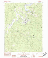 1982 Lewiston1982 Print · USGSTrinity County in the early eighties shows a landscape of river-valley ranching and state forestry. Researchers can trace historic riverside locations like Lowden Ranch, the operations at French Mine, and the old crossroads at Buckhorn Station.2 unique versions available
 - 1984 Map of Redding
 1984 Redding1984 Print · USGSThe Shasta County region in the mid-1980s reveals a landscape of massive reservoirs and active mining districts. Researchers can trace the development of Redding and Enterprise or locate historic mineral sites like Iron Mountain Mine and Keystone Mine.2 unique versions available
 - 1998 Map of Lewiston, 2003 Print
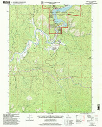 1998 Lewiston2003 Print · USGSLewiston and the surrounding Trinity County mountains appear here at the end of the twentieth century, during a period of established forest management. Researchers can trace the river's path from Lewiston Lake past Lewiston to the mouth of Rush Creek.
 - 2012 Map of Lewiston, 2012 Print
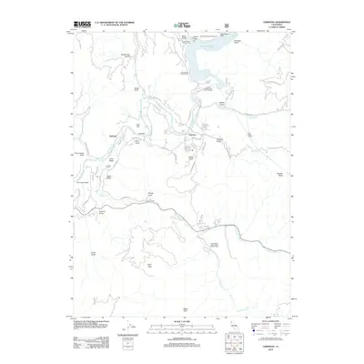 2012 Lewiston2012 Print · USGSTrinity County's rugged river corridor comes into focus in the early 21st century, centered on the community of Lewiston and the Trinity River. Genealogists and historians can trace family-named landmarks like Lowden Ranch, Fawn Lodge, and Bucktail.
 - 2015 Map of Lewiston, 2015 Print
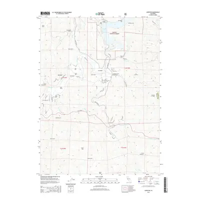 2015 Lewiston2015 Print · USGSTrinity County's river-cut canyons and high peaks are captured here in the mid-2010s. Researchers can trace the legacy of water and mining through features like the Clear Creek Tunnel, the waters of Lewiston Lake, and the settlement of Bucktail.
 - 2018 Map of Lewiston, 2018 Print
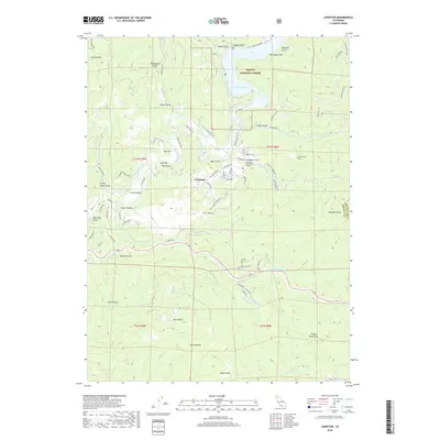 2018 Lewiston2018 Print · USGSThe Trinity River valley and the town of Lewiston are shown here as they appeared in recent years, surrounded by the high summits of the Trinity Mountains. Researchers can trace historic routes like Lewiston Turnpike Rd or locate landmarks such as Gold Bar and Lewiston Lake.
 - 2022 Map of Lewiston, 2022 Print
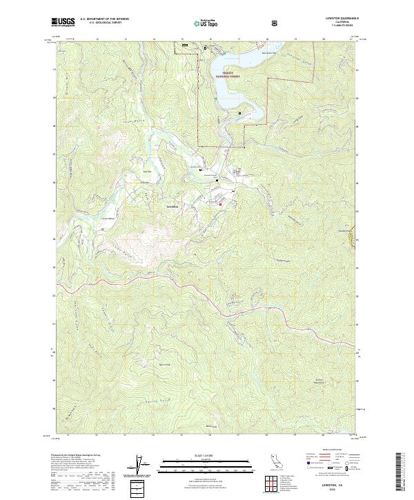 2022 Lewiston2022 Print · USGSTrinity County's winding river valleys and forest lands are captured in the early 2020s, showing the intersection of historic gold-era sites and modern conservation. Genealogists and local historians can trace legacy sites like the Lewiston Pioneer Cem and the small settlements of Gold Bar and Salt Flat.
End of results
Showing maps 1-13 of 13
Top cities near Bucktail
Frequently asked questions
- What are the different types of historical maps available for Bucktail?
- What is the oldest map of Bucktail?
- Where can I purchase historical maps of Bucktail for my home or office?
- Where can I download high-res historical maps of Bucktail?
- Are there historical topographic maps available for Bucktail?
- Is there historical aerial imagery available for Bucktail?
- Where are historical maps of Bucktail sourced from?