Old Maps of Pixley, California for Hiking & Exploration
Hike through history with 15 historic maps of Pixley. Explore old trails, ghost towns, and forgotten backroads — perfect for outdoor adventurers and local explorers.
- Rediscover forgotten places: Map out old mining camps, roads, and footpaths that no longer exist on modern maps.
- Layer with modern tools: Combine with LiDAR or satellite views to plan hikes through historical terrain.
- Made for exploration: Popular among hikers, overlanders, and local history lovers.
Use these maps to find adventure and explore the hidden past of Pixley.
Pixley, CA maps
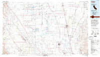
(15)- 1929 Map of Pixley
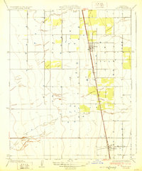 1929 Pixley1929 Print · USGSAgricultural Tulare County comes into focus during the late twenties as the irrigation and rail network expanded. Genealogists and historians can trace the early layout of Pixley and Earlimart along the Southern Pacific railroad and the banks of Deer Creek.2 unique versions available
 - 1942 Map of Earlimart
 1942 Earlimart1942 Print · USGSThe southern San Joaquin Valley comes alive in the early 1940s, showing a grid of irrigation canals and major rail lines. Genealogists and historians can trace the foundations of Allensworth, locate numerous sportsmen's outposts like the Widgeon Gun Club, and follow the historic Southern Pacific route.2 unique versions available
 - 1948 Map of Bakersfield
 1948 Bakersfield1948 Print · USGSBakersfield and the southern San Joaquin Valley appear in the late 1940s, showing a landscape of burgeoning oil towns, rail junctions, and early irrigation canals. Genealogists and historians can trace the foundations of local industry through Gardner Field, the Sunset Railway, and the shores of Buena Vista Lake.2 unique versions available
 - 1950 Map of Pixley
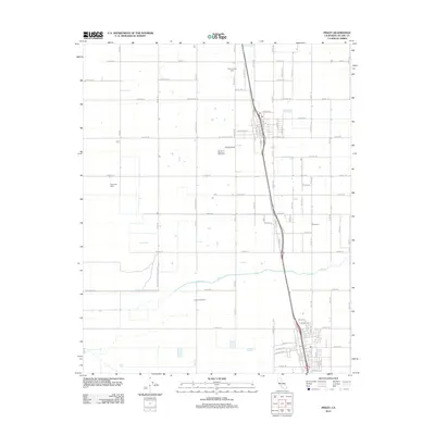
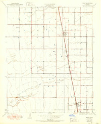 1950 Pixley1950 Print · USGSAgricultural life in Tulare County thrived along the rail lines at mid-century. Genealogists and historians can trace the early footprints of Pixley and Earlimart along the Southern Pacific tracks and the banks of Deer Creek.
 - 1954 Map of Pixley, 1955 Print
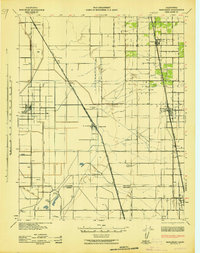
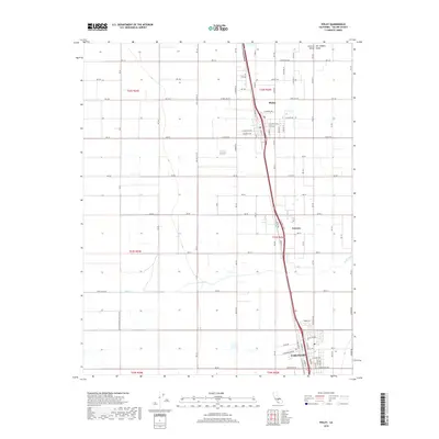
 1954 Pixley1955 Print · USGSTulare County's agricultural heartland is documented here in the mid-1950s as rail-side communities expanded through irrigation. Genealogists and historians can trace local landmarks like Pixley Union Sch, Harmon Field, and the Southern Pacific route.3 unique versions available
 - 1955 Map of Bakersfield
 1955 Bakersfield1955 Print · USGSThe southern San Joaquin Valley in the mid-fifties shows an era of massive oil production and industrial irrigation. Trace family roots in Allensworth, the oil fields of Oildale, or the shorelines of Tulare Lake and Buena Vista Lake.
 - 1956 Map of Bakersfield
 1956 Bakersfield1956 Print · USGSThe southern San Joaquin Valley and High Sierra come alive in the mid-fifties, showing the region's complex agricultural and rail networks. Genealogists and historians can trace family roots in towns like Bakersfield, Taft, and Delano, or locate early infrastructure along the Sunset Railway.
 - 1960 Map of Bakersfield
 1960 Bakersfield1960 Print · USGSThe Southern San Joaquin Valley at mid-century reveals a complex landscape of petroleum development and massive irrigation projects. Researchers can trace the rail lines of the Southern Pacific, explore oil-era landmarks like Oil City, and locate early settlements including Allensworth and Pixley.2 unique versions available
 - 1962 Map of Bakersfield, 1969 Print
 1962 Bakersfield1969 Print · USGSThe Southern San Joaquin Valley is shown in the 1960s as a bustling intersection of petroleum production, irrigation agriculture, and mountain recreation. Researchers can trace the rail lines of the Southern Pacific through the valley or locate early desert developments like California City and Tehachapi.4 unique versions available
 - 1966 Map of Bakersfield
 1966 Bakersfield1966 Print · USGSThe southern San Joaquin Valley in the mid-sixties reveals a massive industrial and agricultural landscape shaped by water and oil. Genealogists and historians can trace the growth of Bakersfield and Oildale, or locate remote airfields like Minter Field and Mojave-Kern County No. 7 Airport.
 - 1993 Map of Delano
 1993 Delano1993 Print · USGSThe San Joaquin Valley's industrial and agricultural heartland is captured here in the early nineties, showing a landscape shaped by petroleum and irrigation. Genealogists and historians can trace settlements from McFarland to Alpaugh, alongside the Colonel Allensworth State Historic Park and the sprawling Trico Gas Field.2 unique versions available
 - 2012 Map of Pixley, 2012 Print
 2012 Pixley2012 Print · USGSCovers Pixley, including Earlimart, Teviston, and other nearby areas
 - 2015 Map of Pixley, 2015 Print
 2015 Pixley2015 Print · USGSCovers Pixley, including Earlimart, Teviston, and other nearby areas
 - 2018 Map of Pixley, 2018 Print
 2018 Pixley2018 Print · USGSCovers Pixley, including Earlimart, Teviston, and other nearby areas
 - 2021 Map of Pixley, 2021 Print
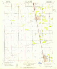
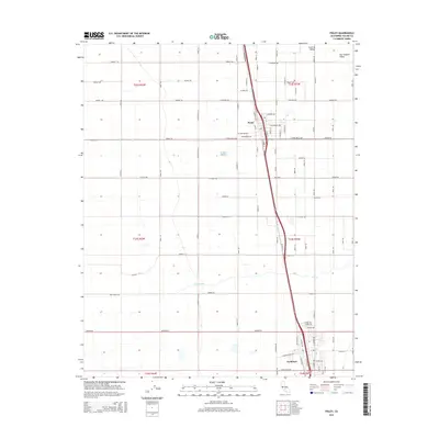
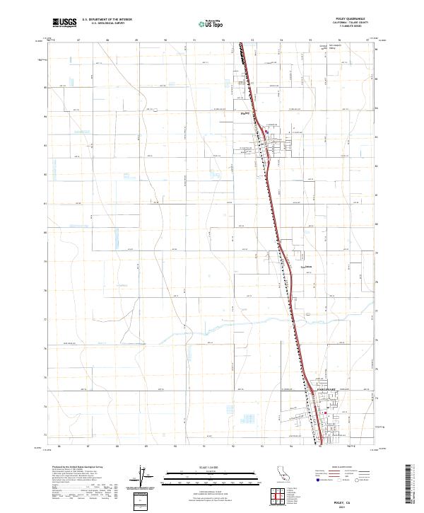 2021 Pixley2021 Print · USGSTulare County's agricultural heartland is captured here in the early 2020s, showcasing the structured farm grids of the San Joaquin Valley. Researchers can trace the development of Pixley and Earlimart or follow the path of Deer Creek through the surrounding fields.
End of results
Showing maps 1-15 of 15
Top cities near Pixley
- Porterville historical maps
- Tulare historical maps
- Delano historical maps
- Lindsay historical maps
- Earlimart historical maps
- Richgrove historical maps
See more
Frequently asked questions
- What are the different types of historical maps available for Pixley?
- What is the oldest map of Pixley?
- Where can I purchase historical maps of Pixley for my home or office?
- Where can I download high-res historical maps of Pixley?
- Are there historical topographic maps available for Pixley?
- Is there historical aerial imagery available for Pixley?
- Where are historical maps of Pixley sourced from?