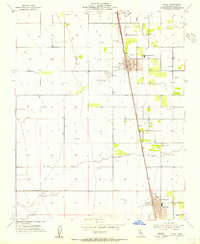
1954 Map of Pixley
USGS Topo · Published 1955About this map
Southern Pacific rail lines anchor the agricultural corridor of Tulare County in the mid-1950s, connecting the primary settlements of Pixley and Earlimart. This irrigation-dependent landscape is defined by an extensive network of wells, reservoirs, and canals, with Deer Creek and Deer Creek Slough providing natural drainage across the flat valley floor. Local infrastructure supports a growing community, evidenced by the Pixley Union Sch, a Jr High School, and specialized facilities like the Fire Control Sta and Harmon Field. The presence of a Clay Pit east of the rail line suggests local industrial activity, while numerous Levee symbols indicate the ongoing management of water through the San Joaquin Valley’s fertile but subsidence-prone plains.
Find a feature on this map
14 named features on this map. Tap any name to fly to it.
Don’t see what you’re looking for? This feature index may not catch every label — zoom into the map to look around manually.
Map Details
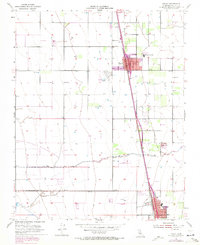
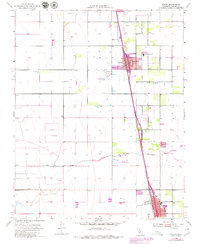
Editions of this 1954 Pixley Map
3 editions found
Other maps of this area

1925 · Tipton
USGS Topo · 1:31,680

1927 · Lake View School
USGS Topo · 1:31,680

1928 · Tipton
USGS Topo · 1:31,680

1928 · Woodville
USGS Topo · 1:31,680

1929 · Alpaugh
USGS Topo · 1:31,680

1929 · Delano
USGS Topo · 1:31,680

1929 · Sausalito School
USGS Topo · 1:31,680

1929 · Pixley
USGS Topo · 1:31,680

1929 · Stone
USGS Topo · 1:31,680

1929 · Allensworth
USGS Topo · 1:31,680