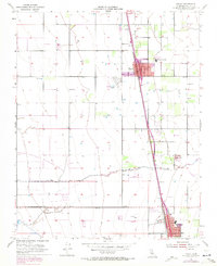
1954 Map of Pixley
USGS Topo · Published 1971About this map
Agricultural irrigation and wildlife conservation define this Tulare County landscape, where the Pixley National Wildlife Refuge preserves native grasslands west of the growing town of Pixley. The town serves as a hub for the surrounding valley, featuring the Pixley Union Sch and a Fire Control Sta situated along the Southern Pacific railroad corridor. This line acts as a primary axis for the region, connecting Pixley south to Earlimart.
Find a feature on this map
20 named features on this map. Tap any name to fly to it.
Don’t see what you’re looking for? This feature index may not catch every label — zoom into the map to look around manually.
Map Details
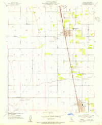
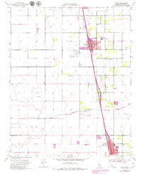
Editions of this 1954 Pixley Map
3 editions found
Other maps of this area

1925 · Tipton
USGS Topo · 1:31,680

1927 · Lake View School
USGS Topo · 1:31,680

1928 · Tipton
USGS Topo · 1:31,680

1928 · Woodville
USGS Topo · 1:31,680

1929 · Alpaugh
USGS Topo · 1:31,680

1929 · Delano
USGS Topo · 1:31,680

1929 · Sausalito School
USGS Topo · 1:31,680

1929 · Pixley
USGS Topo · 1:31,680

1929 · Stone
USGS Topo · 1:31,680

1929 · Allensworth
USGS Topo · 1:31,680