Old Maps of Tulare, California for Genealogy
Trace your family roots with 32 historic maps of Tulare. These high-res maps reveal old neighborhoods, homesites, landmarks, and streets — helping you uncover where your ancestors lived and how the area evolved over time.
- Explore historic neighborhoods: Identify where your relatives may have lived in the 1800s or 1900s.
- Compare maps over time: Trace the changes in streets, buildings, and landmarks for multi-generational research.
- Perfect for genealogy & ancestry research: Used by family historians and researchers to map out lineage and migration.
These maps are an incredible resource for exploring your personal connection to Tulare's past.
Tulare, CA maps
(32)- 1925 Map of Tulare
 1925 Tulare1925 Print · USGSTulare and its surrounding agricultural colonies are captured here in the mid-twenties as the valley's irrigation and rail networks expanded. Researchers can trace the development of small settlements like Burling and Elba alongside early landmarks such as the Oakland Colony School.
 - 1925 Map of Tipton
 1925 Tipton1925 Print · USGSThe agricultural landscape surrounding Tipton was still taking shape in the mid-twenties as the Southern Pacific railroad spurred growth. Family historians can locate rural landmarks like Hanby School, Edendale School, and the early route of Vineyard Road.
 - 1927 Map of Paige
 1927 Paige1927 Print · USGSTulare County's agricultural heartland is captured in the mid-twenties as the valley's irrigation and rail networks expanded. Researchers can locate several rural schoolhouses like Linder School and trace the path of the Atchison Topeka and Santa Fe through Paige.2 unique versions available
 - 1927 Map of Tulare
 1927 Tulare1927 Print · USGSThe San Joaquin Valley town of Tulare and its surrounding agricultural colonies are captured here during the mid-1920s. Genealogists can trace early rural life at Oakland Colony School and railroad stops at Burling and Elba.3 unique versions available
 - 1928 Map of Tipton
 1928 Tipton1928 Print · USGSTulare County's agricultural heartland is captured here in the mid-1920s as the rail-side town of Tipton grows along the Southern Pacific. Researchers can locate early schools like Hanby School and Edendale School, or trace old roads and sidings at Octol and Alfac.2 unique versions available
 - 1942 Map of Tulare
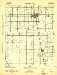 1942 Tulare1942 Print · USGSTulare County's agricultural and rail landscape is meticulously detailed in the early 1940s as the Central Valley irrigation system expanded. Genealogists can locate family-named landmarks and rural schoolhouses like Bliss Sch, Linder Sch, and the settlement of Tipton.2 unique versions available
 - 1948 Map of Fresno
 1948 Fresno1948 Print · USGSThe San Joaquin Valley and the High Sierra met during a period of rapid post-war growth and industrial expansion. Genealogists and researchers can trace family lines through small rail towns like Calwa City, find early aviation sites at Fresno-Chandler, or locate the Fresno Copper Mine.
 - 1950 Map of Paige, 1958 Print
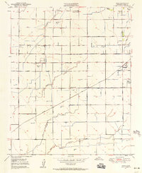 1950 Paige1958 Print · USGSThe Tulare County countryside comes into focus at mid-century, showing an agricultural landscape deeply shaped by irrigation and rail. Genealogists and researchers can trace rural school locations like Buena Vista Sch, the grounds of Colpien Ranch, and the path of the Santa Fe railroad.2 unique versions available
 - 1950 Map of Tulare, 1971 Print
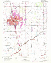 1950 Tulare1971 Print · USGSTulare's mid-century landscape is defined by its role as a San Joaquin Valley rail and irrigation hub. Researchers can trace the development of the County Fairgrounds and Oakland Colony, or locate landmarks like Tulare Cemetery and Rankin Airfield.2 unique versions available
 - 1950 Map of Tipton, 1971 Print
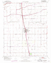 1950 Tipton1971 Print · USGSTipton and the surrounding Central Valley ranch lands are shown at mid-century as the railroad and river systems defined local life. Genealogists and historians can locate the Tipton Cem, the southern siding at Quail, and the course of the Tule River.2 unique versions available
 - 1951 Map of Tipton
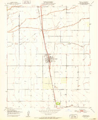 1951 Tipton1951 Print · USGSCentral Valley agriculture and the rail economy define this part of Tulare County at mid-century. Genealogists can locate family holdings near Tipton and Quail, or trace the winding courses of Mitchell Slough and the Tule River.
 - 1951 Map of Tulare
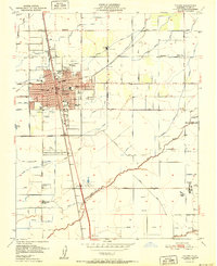 1951 Tulare1951 Print · USGSMid-century Tulare was a bustling agricultural and rail center at the intersection of two major western railroads. Genealogists and historians can trace the foundations of the community through the Tulare Cemetery, St Aloysius Sch, and the Old Peoples Home.2 unique versions available
 - 1951 Map of Paige
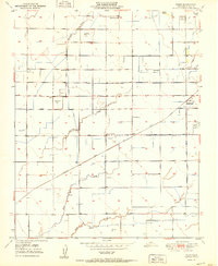 1951 Paige1951 Print · USGSTulare County's agricultural heartland is documented here in the early 1950s as a sophisticated network of canals and rails. Genealogists and historians can trace family properties near rural schools like Buena Vista Sch or follow the Atchison Topeka and Santa Fe tracks through Paige.
 - 1955 Map of Fresno
 1955 Fresno1955 Print · USGSThe Central Valley and High Sierra meet in this mid-fifties study of California’s agricultural and wilderness heart. Researchers can trace the rail-side growth of Sanger, Selma, and Reedley or locate high-altitude landmarks like Mt Whitney and Hume Lake.
 - 1956 Map of Fresno
 1956 Fresno1956 Print · USGSThe Central Valley and High Sierra meet in this mid-fifties survey of a rapidly developing California interior. Researchers can trace the rail-and-water networks of Visalia, the footprint of Tulare Lake, and the remote heights of Sequoia National Park.
 - 1958 Map of Fresno
 1958 Fresno1958 Print · USGSThe Central Valley and High Sierra meet in this mid-century survey of the California heartland. Researchers can trace the rail-and-road network connecting Fresno and Visalia or locate high-country landmarks like Mt Whitney and Sequoia National Park.
 - 1960 Map of Fresno
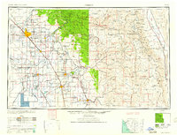 1960 Fresno1960 Print · USGSThe San Joaquin Valley's mid-century agricultural boom meets the high peaks of the Sierra Nevada in this detailed survey. Genealogists and historians can trace the rail-driven growth of Fresno, Tulare, and Visalia or locate family roots in smaller towns like Raisin City and Calwa City.2 unique versions available
 - 1962 Map of Fresno, 1968 Print
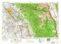 1962 Fresno1968 Print · USGSThe Central Valley and High Sierra meet in this mid-century survey, capturing the region's massive irrigation systems and mountain wilderness. Researchers can trace the rail corridors of the Southern Pacific and locate landmarks like the Tulare Lake Bed and Mount Whitney.3 unique versions available
 - 1966 Map of Fresno
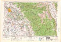 1966 Fresno1966 Print · USGSCentral California in the mid-1960s showcases a high-production agricultural valley rising into the granite peaks of the High Sierra. Researchers can trace irrigation networks, rail spurs like the Southern Pacific, and landmarks from Mount Whitney to the Lemoore Naval Air Station.
 - 1993 Map of Visalia
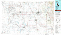 1993 Visalia1993 Print · USGSThe San Joaquin Valley comes alive in the early nineties, showing a landscape defined by the Tulare Lake Bed and its vast network of canals. Trace family roots and local history near Santa Rosa Rancheria, Pixley Nat Wildlife Ref, and the Tulare Co Fairgrounds.2 unique versions available
 - 2012 Map of Tipton, 2012 Print
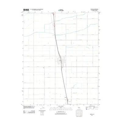 2012 Tipton2012 Print · USGSThe agricultural heart of Tulare County comes into focus in this 2012 survey of the San Joaquin Valley. Genealogists and local historians can trace the irrigation networks of the Tule River and Mitchell Slough near the settlements of Tipton and Octol.
 - 2012 Map of Tulare, 2012 Print
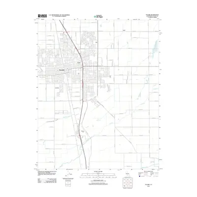 2012 Tulare2012 Print · USGSTulare and its surrounding agricultural colonies are captured here during a period of sustained valley growth. Genealogists and local historians can trace the grid of family-named roads and rural settlements like Imhoff, Elba, and the historic Tulare Cem.
 - 2012 Map of Paige, 2012 Print
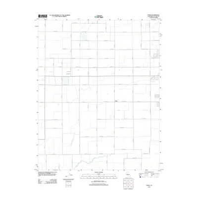 2012 Paige2012 Print · USGSThe rural landscape near Tulare comes into focus in the early 2010s, showcasing the intricate grid of the Central Valley. Genealogists and local historians can trace the development of Paige and follow the path of Bates Slough through this agricultural corridor.
 - 2015 Map of Tulare, 2015 Print
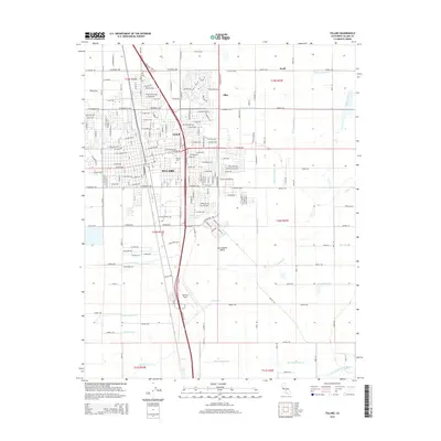 2015 Tulare2015 Print · USGSTulare and its surrounding agricultural corridor are captured here during the mid-2010s. Researchers can trace the sophisticated irrigation network of the Tulare Canal or locate local landmarks such as Mefford Field and the Tulare Cem.
 - 2015 Map of Paige, 2015 Print
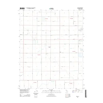 2015 Paige2015 Print · USGSTulare County's agricultural heartland is captured here in the mid-2010s, centered on the settlement of Paige. Local historians can trace the vital irrigation networks of the San Joaquin Valley, including the Kaweah Canal and Packwood Ditch.
Showing maps 1-25 of 32
Top cities near Tulare
- Visalia historical maps
- Corcoran historical maps
- Exeter historical maps
- Farmersville historical maps
- Woodlake historical maps
- Ivanhoe historical maps
See more
Frequently asked questions
- What are the different types of historical maps available for Tulare?
- What is the oldest map of Tulare?
- Where can I purchase historical maps of Tulare for my home or office?
- Where can I download high-res historical maps of Tulare?
- Are there historical topographic maps available for Tulare?
- Is there historical aerial imagery available for Tulare?
- Where are historical maps of Tulare sourced from?