2020s Maps of Bent County, Colorado
Explore 42 historic maps of Bent County from the 2020s. These maps offer a rare glimpse into what life looked like during the 2020s — showing old roads, neighborhoods, homes, and landmarks that have changed or disappeared over time.
Whether you're researching your family's past, planning a metal detecting trip, or studying how Bent County's landscape evolved across the 2020s, these high-resolution maps are a powerful tool for exploring the history of this region.
- Focus on a specific era: All maps on this page are from the 2020s, giving you a focused view of this time period.
- See what’s changed: Compare century-old streets, trails, and buildings to today's modern landscape using overlays and satellite layers.
- Research with precision: Use these maps for genealogy, historical research, land use analysis, or educational projects.
- View, download, or print: Maps are fully viewable online in high resolution, and can be downloaded or printed for your own records.
Start exploring Bent County's history through authentic maps from the 2020s. This is your window into the past.
Bent County, CO maps
(42)- 2022 Map of Clay Ranch, 2022 Print
 2022 Clay Ranch2022 Print · USGSSoutheastern Colorado ranch lands appear in recent detail at the junction of Bent, Baca, and Las Animas counties. Researchers can trace remote property lines and water sources along Rule Cr, Cottonwood Cr, and State Hwy 101.
 - 2022 Map of Hackamore Ranch, 2022 Print
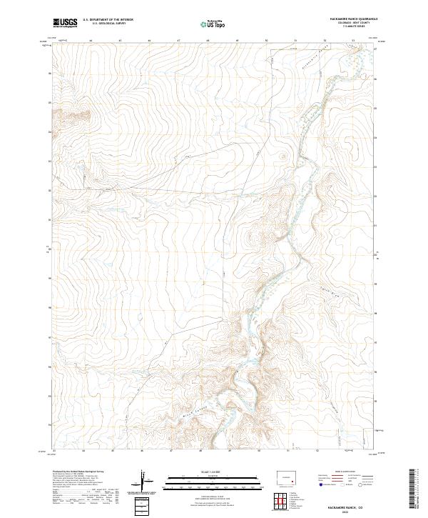 2022 Hackamore Ranch2022 Print · USGSBent County ranching country comes into focus in this recent survey of the High Plains during the early twenty-first century. Researchers can trace the rugged topography of Mixon Canyon and follow water sources like the Highland Canal and Farrington Spring.
 - 2022 Map of Dripping Spring, 2022 Print
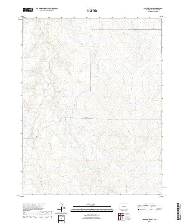 2022 Dripping Spring2022 Print · USGSBent County in the 2020s remains a landscape of open ranges and scattered water sources. Researchers can trace the drainage of Mud Cr and Rattlesnake Cr or locate the namesake Dripping Spring along the county road network.
 - 2022 Map of Cat Creek, 2022 Print
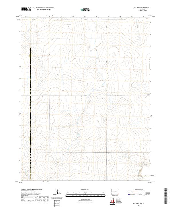
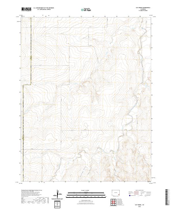 2022 Cat Creek2022 Print · USGSThe Prowers and Bent county line reaches across the High Plains in this recent survey of rural Colorado. Genealogists and land researchers can trace property boundaries and access routes along Cat Creek, Antelope Draw, and CO RD S.
 - 2022 Map of Ninaview, 2022 Print
 2022 Ninaview2022 Print · USGSSoutheast Colorado's high plains near the Bent and Las Animas county line are documented here in the early twenty-first century. Genealogists and land researchers can trace the vicinity of Ninaview and Ruxton, locating landmarks like Devils Rocking Chair and Round Mound.
 - 2022 Map of Denny Lake, 2022 Print
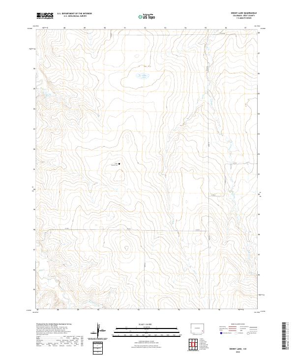 2022 Denny Lake2022 Print · USGSBent County at the start of the 2020s is a landscape of expansive ranchland and quiet cemeteries. Genealogists and local historians can trace legacy land plots near Little Kansas Cem or follow the seasonal flows of Rattlesnake Cr and Toe-Jam Spring.
 - 2022 Map of Floating W Ranch, 2022 Print
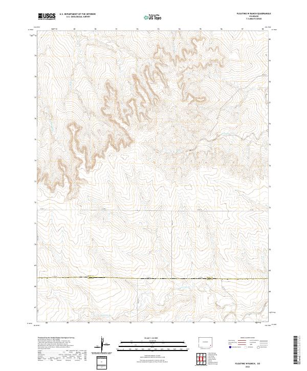 2022 Floating W Ranch2022 Print · USGSSoutheastern Colorado ranching country is mapped here during the early twenty-first century, showing the remote border of Bent and Baca counties. Researchers can trace the drainage of Maverick Cr and Two Butte Cr alongside rural routes like Co Rd XX.
 - 2022 Map of Pipe Spring, 2022 Print
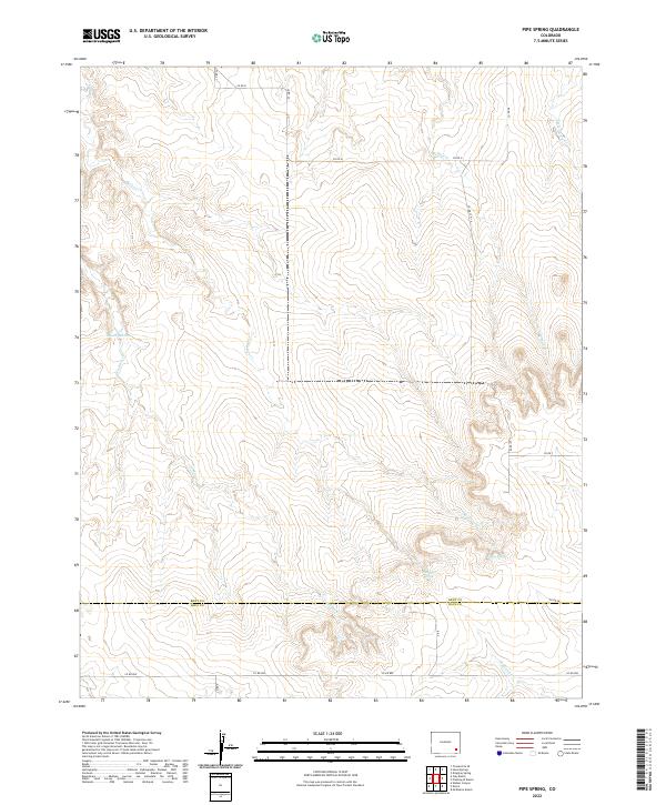 2022 Pipe Spring2022 Print · USGSThe borderlands of Bent and Baca counties are revealed in this modern survey of the Colorado high plains. Genealogists and researchers can trace the drainages of Caddoa Cr and Shelton Cr or locate specific landmarks like Pipe Spring and Thompson Spring.
 - 2022 Map of Turkey Canyon, 2022 Print
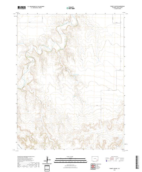 2022 Turkey Canyon2022 Print · USGSIn the high plains of Bent County, this recent survey documents the drainage patterns and water management systems of a remote Colorado landscape. Researchers can trace the winding Purgatoire River and locate vital local landmarks like Kelly Water Hole and Turkey Canyon.
 - 2022 Map of Cat Creek NW, 2022 Print
 2022 Cat Creek NW2022 Print · USGSSoutheast Colorado ranch land comes into focus in this recent survey of the Prowers and Bent county line. Researchers can trace the essential water sources that sustained local homesteads, from Willow Springs to the beds of Willow Cr and Clay Cr.
 - 2022 Map of Hand Springs, 2022 Print
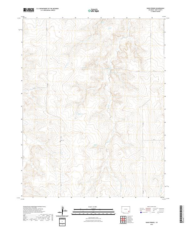 2022 Hand Springs2022 Print · USGSBent County's prairie landscape is documented in this modern survey, revealing the locations of early rural infrastructure. Researchers can trace the placement of the Antelope School, find the Bethel Cem, and locate numerous named water sources like Hand Springs.
 - 2022 Map of High Rock, 2022 Print
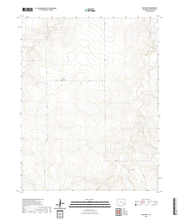 2022 High Rock2022 Print · USGSThe Bent County high plains are captured here in the early twenty-first century, showing a landscape of intermittent creeks and remote section roads. Genealogists and historians can locate the Indian Rock Cem and trace the paths of Caddoa Cr and Scott Pierce Ditch.
 - 2022 Map of Corbin Canyon, 2022 Print
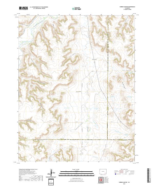 2022 Corbin Canyon2022 Print · USGSSoutheast Colorado's canyon country comes into focus in this recent survey, showing the complex irrigation networks of the high plains. Researchers can trace the path of the Ninemile Canal and locate water sources like Two Buttes Pond and East Canyon Reservoir.
 - 2022 Map of Prowers, 2022 Print
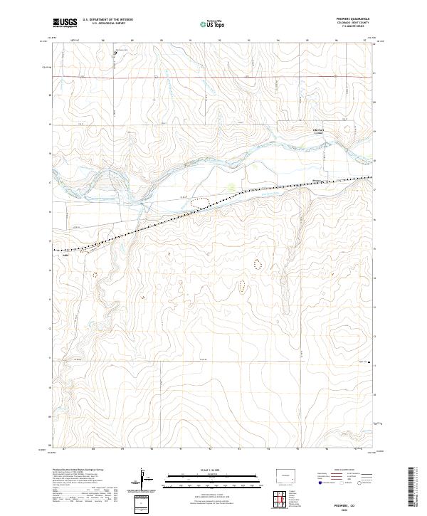 2022 Prowers2022 Print · USGSBent County's agricultural and frontier landscape is captured here in the early twenty-first century, centered on the river valley east of Las Animas. Researchers can trace irrigation networks like the Fort Bent Canal and locate historic sites such as Old Fort Lyons and The Home Cem.
 - 2022 Map of Houston Lakes, 2022 Print
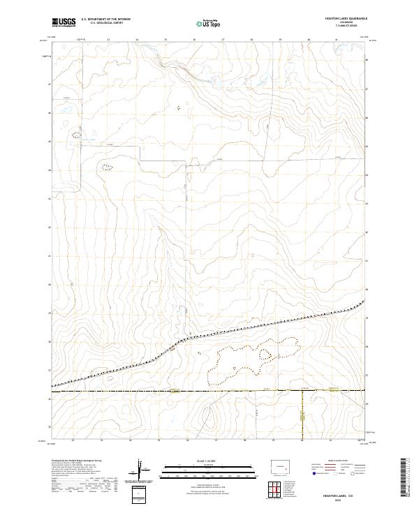 2022 Houston Lakes2022 Print · USGSThe high plains of Kiowa County are captured here at the triple-county junction with Otero and Bent. Researchers can trace land divisions and local water sources like Houston Lakes, Sand Arroyo, and Mustang Cr.
 - 2022 Map of Long Lake, 2022 Print
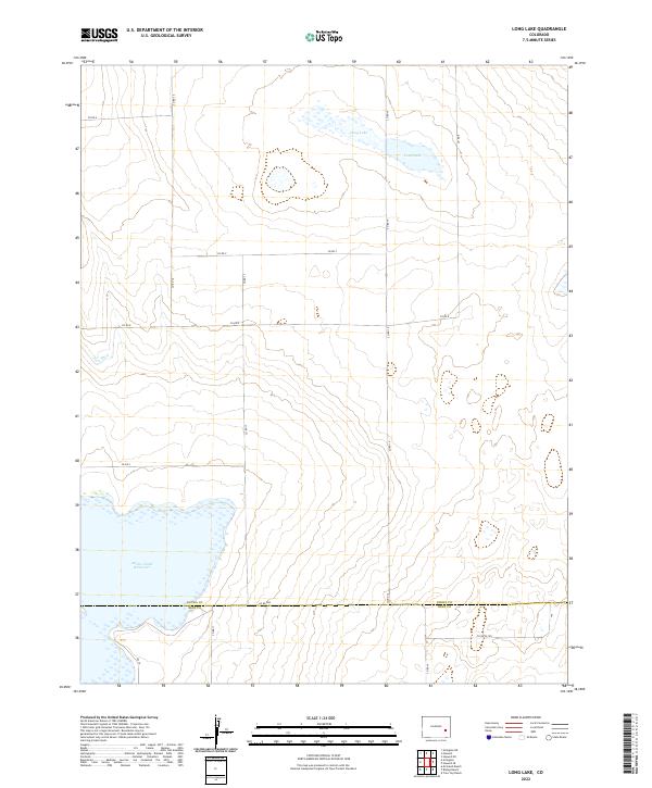 2022 Long Lake2022 Print · USGSThe high plains along the border of Kiowa and Bent counties are captured here in the early twenty-first century. Researchers can trace the extensive shoreline of Adobe Creek Reservoir and the rural road network including Co Rd 16 and Co Rd WW.
 - 2022 Map of Toonerville, 2022 Print
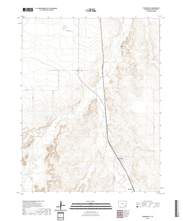 2022 Toonerville2022 Print · USGSBent County's ranching landscape is captured in the early twenty-first century, showing the rural settlements and family landmarks of the high plains. Genealogists can locate Heinan Cem while researchers trace the routes of Rule Cr and the Eagle Rock Ditch.
 - 2022 Map of Lewis Ranch, 2022 Print
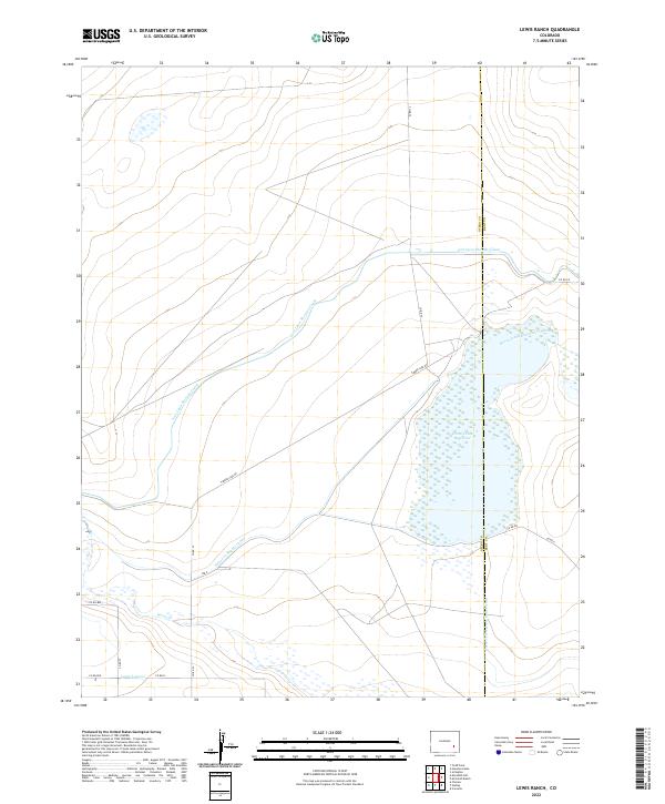 2022 Lewis Ranch2022 Print · USGSThe high plains of Otero County are defined by a sophisticated irrigation network in the early twenty-first century. Researchers can trace the movement of water through the Fort Lyon Storage Canal, Horse Creek Reservoir, and various supply channels that shaped local ranching life.
 - 2022 Map of Wiley, 2022 Print
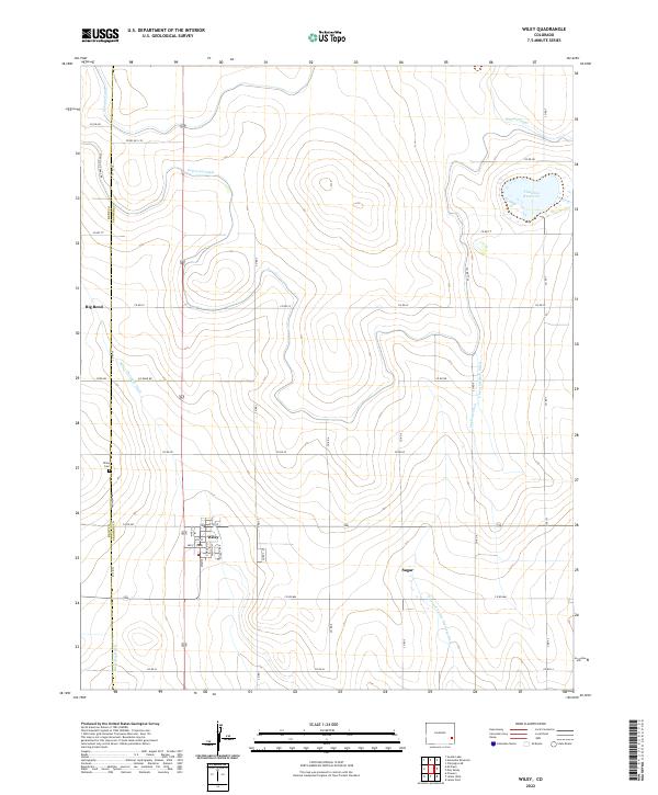 2022 Wiley2022 Print · USGSThe high plains of Prowers County appear here in the 2020s, revealing an intricate landscape of irrigation canals and rural settlements. Genealogists and historians can trace family sites around Wiley, Big Bend, and the Wiley Cem or follow the paths of the Fort Lyon Canal and Thurston Reservoir.
 - 2022 Map of Las Animas, 2022 Print
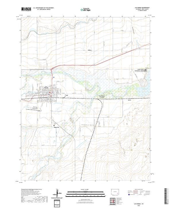 2022 Las Animas2022 Print · USGSBent County's river valleys come alive in this survey of the plains. Trace the early settlement of Boggsville and the irrigation networks of the Fort Lyon Canal and Consolidated Ditch.
 - 2022 Map of Hasty, 2022 Print
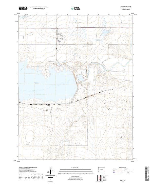 2022 Hasty2022 Print · USGSSoutheast Colorado's high plains and the Arkansas River valley are captured here in the early twenty-first century. Researchers can trace the layout of Hasty, locate the Union Valley Cem, and follow water history through the Fort Lyon Canal and John Martin Reservoir.
 - 2022 Map of Lubers, 2022 Print
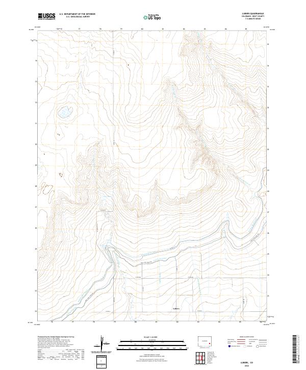 2022 Lubers2022 Print · USGSBent County's agricultural landscape is captured here in the early 2020s, showing the intricate water systems of the high plains. Genealogists and researchers can trace the vital irrigation networks surrounding Lubers, including the Kicking Bird Canal and Lubers Ditch.
 - 2022 Map of Cornelia, 2022 Print
 2022 Cornelia2022 Print · USGSBent County's agricultural heartland is captured in this modern survey of the Arkansas River valley's intricate irrigation network. Researchers can trace the layout of small settlements like Marlman and Cornelia alongside vital waterworks including the Fort Lyon Canal and Jones Ditch.
 - 2022 Map of Swede Lake, 2022 Print
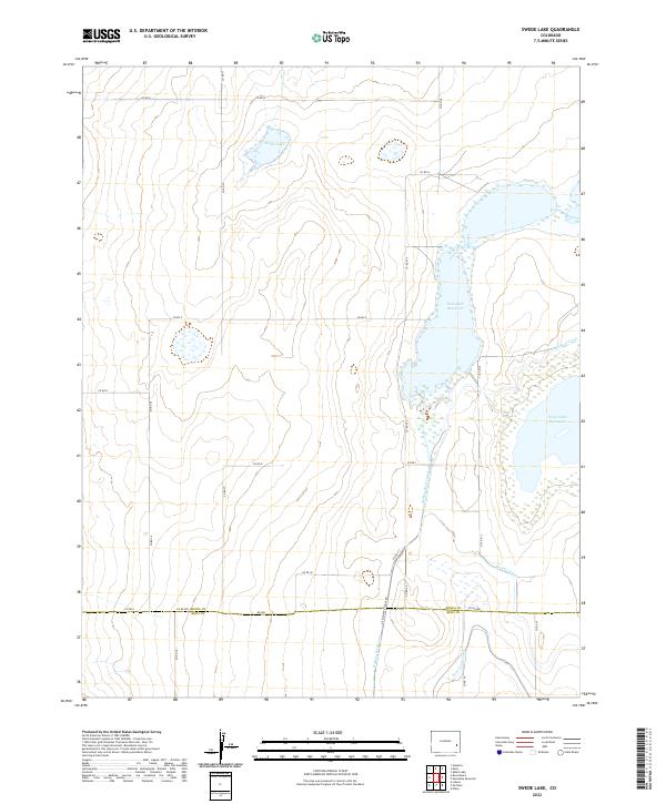 2022 Swede Lake2022 Print · USGSThe eastern Colorado plains near the turn of the twenty-first century are defined by large-scale water management and irrigation systems. Researchers can trace the courses of the Kicking Bird Canal and Fort Lyon Canal as they feed into Neesopah Reservoir.
 - 2022 Map of Neenoshe Reservoir, 2022 Print
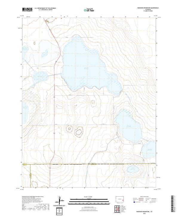 2022 Neenoshe Reservoir2022 Print · USGSSoutheastern Colorado's high plains water systems are meticulously detailed in this recent survey of the Kiowa and Bent County borders. Researchers can trace the paths of irrigation infrastructure like the Lone Wolf Canal and the reach of the Neeskah Reservoir.
Showing maps 1-25 of 42
Top cities of Bent County
Frequently asked questions
- What are the different types of historical maps available for Bent County?
- What is the oldest map of Bent County?
- Where can I purchase historical maps of Bent County for my home or office?
- Where can I download high-res historical maps of Bent County?
- Are there historical topographic maps available for Bent County?
- Is there historical aerial imagery available for Bent County?
- Where are historical maps of Bent County sourced from?