2010s Maps of Bent County, Colorado
Explore 168 historic maps of Bent County from the 2010s. These maps offer a rare glimpse into what life looked like during the 2010s — showing old roads, neighborhoods, homes, and landmarks that have changed or disappeared over time.
Whether you're researching your family's past, planning a metal detecting trip, or studying how Bent County's landscape evolved across the 2010s, these high-resolution maps are a powerful tool for exploring the history of this region.
- Focus on a specific era: All maps on this page are from the 2010s, giving you a focused view of this time period.
- See what’s changed: Compare century-old streets, trails, and buildings to today's modern landscape using overlays and satellite layers.
- Research with precision: Use these maps for genealogy, historical research, land use analysis, or educational projects.
- View, download, or print: Maps are fully viewable online in high resolution, and can be downloaded or printed for your own records.
Start exploring Bent County's history through authentic maps from the 2010s. This is your window into the past.
Bent County, CO maps
(168)- 2010 Map of Rose Ranch, 2010 Print
 2010 Rose Ranch2010 Print · USGSKiowa County at the start of the 2010s reveals a structured landscape of high plains ranching and rural infrastructure. Researchers can locate named landmarks like Rose Ranch and trace vital water sources such as Government Spring among the grid of county roads.
 - 2010 Map of McClave, 2010 Print
 2010 McClave2010 Print · USGSMcClave and its surrounding farmstead grid are captured here in the early twenty-first century. Researchers can trace the vital irrigation networks of the Sunflower Ditch and Riverview Ditch or locate the settlements at Keesee and Big Bend.
 - 2010 Map of Wiley, 2010 Print
 2010 Wiley2010 Print · USGSSoutheast Colorado's farm country comes into focus at the start of the 21st century, showing the intricate grid of irrigation and rural life. Genealogists and researchers can locate landmarks like Wiley Cemetery, the Cactus View School, and the settlement of Big Bend.
 - 2010 Map of Toonerville SE, 2010 Print
 2010 Toonerville SE2010 Print · USGSBent County, Colorado, is shown in the early twenty-first century as a landscape of structured ranch roads and intermittent drainages. Researchers can trace the exact paths of Caddoa Creek and Snif Creek or locate family land via County Rd-17 and County Road K.
 - 2010 Map of Clay Ranch, 2010 Print
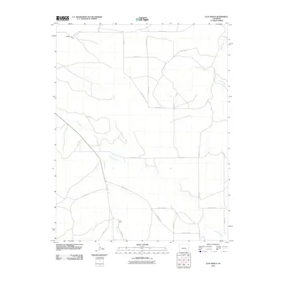 2010 Clay Ranch2010 Print · USGSLas Animas County at the start of the 2010s is a landscape of expansive ranches and seasonal waterways. Trace the network of rural routes connecting Clay Ranch with the drainages of Rule Creek and Cottonwood Creek.
 - 2010 Map of Ninaview, 2010 Print
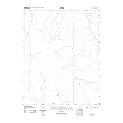 2010 Ninaview2010 Print · USGSRuxton and Ninaview appear during the early twenty-first century as quiet agricultural outposts in the Colorado plains. Researchers can trace the rugged topography of landmarks like Devils Rocking Chair and locate old workings at the Allen Jones Mine.
 - 2010 Map of Corbin Canyon, 2010 Print
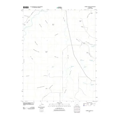 2010 Corbin Canyon2010 Print · USGSIn the arid canyonlands of Otero County during the early twenty-first century, ranching life is etched into the landscape through vital water infrastructure. Genealogists and historians can trace family-named sites like Martinez Cemetery, Anstine Windmill, and the Ninemile Canal.
 - 2010 Map of Houston Lakes, 2010 Print
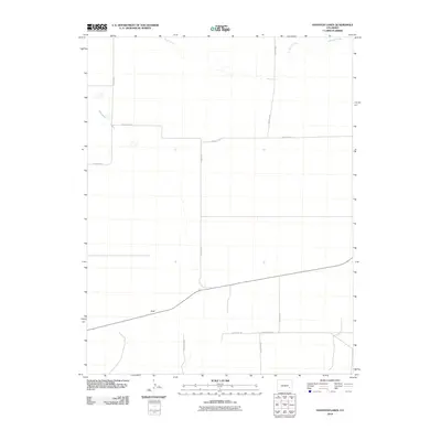 2010 Houston Lakes2010 Print · USGSSoutheastern Colorado ranching country is mapped here in the early 21st century, showing the intersection of isolated homesteads and desert drainage systems. Genealogists and researchers can locate family sites at Lewis Ranch and McIntosh Ranch or trace the seasonal waters of Houston Lakes.
 - 2010 Map of Bishop Ranch, 2010 Print
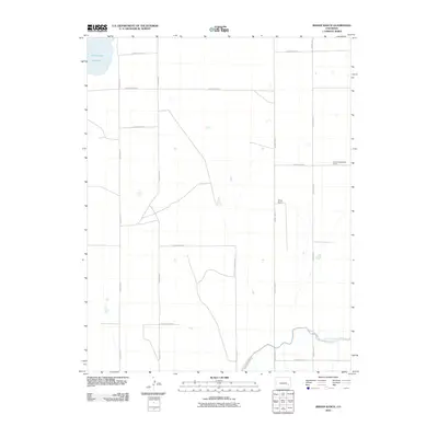 2010 Bishop Ranch2010 Print · USGSBent County ranching country and the plains north of the Arkansas River valley appear here during the early twenty-first century. Researchers can trace land tracts between the Bishop Ranch and the Fort Lyon Canal or locate the shoreline of Adobe Creek Reservoir.
 - 2010 Map of Haswell SE, 2010 Print
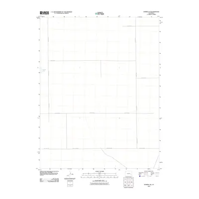 2010 Haswell SE2010 Print · USGSKiowa County at the start of the 2010s reveals a structured landscape of high-plains agriculture and strictly gridded section lines. Genealogists and land researchers can trace the rural boundaries and water sources like Potters Lake and County Hwy WW.
 - 2010 Map of McIntosh Ranch, 2010 Print
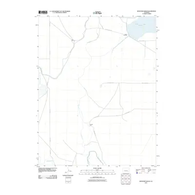 2010 McIntosh Ranch2010 Print · USGSBent County ranching and water management come into focus during the early twenty-first century. Genealogists and local historians can trace the irrigation network of the Fort Lyon Canal and find named landmarks like McIntosh Ranch and Spady Cow Camp.
 - 2010 Map of Cornelia, 2010 Print
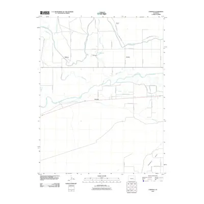 2010 Cornelia2010 Print · USGSThe high plains of Bent County are defined by their sophisticated irrigation networks in the early twenty-first century. Genealogists and local historians can trace the rural communities of Marlman and Cornelia, alongside the paths of the Fort Lyon Canal and Las Animas Town Ditch.
 - 2010 Map of Tree Top Ranch, 2010 Print
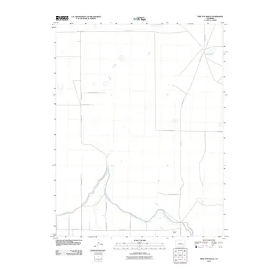 2010 Tree Top Ranch2010 Print · USGSBent County in the early twenty-first century is characterized by its vital irrigation networks and isolated ranching outposts. Researchers can trace the path of the Fort Lyon Canal and locate specific sites like Tree Top Ranch and Long Lake.
 - 2010 Map of Lewis Ranch, 2010 Print
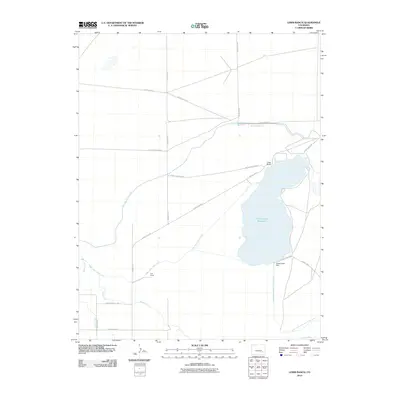 2010 Lewis Ranch2010 Print · USGSOtero County's ranching and irrigation systems are clearly defined in this study of the Colorado high plains during the early 21st century. Researchers can trace landholdings like Lewis Ranch and the vital waterways of the Fort Lyon Storage Canal.
 - 2010 Map of Long Lake, 2010 Print
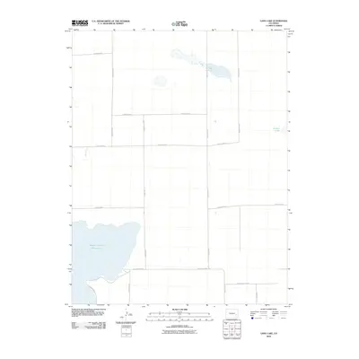 2010 Long Lake2010 Print · USGSEastern Colorado ranching country and its critical water infrastructure are meticulously documented in this early twenty-first-century survey. Researchers can trace the layout of the high plains through features like Adobe Creek Reservoir, Colt Ditch, and Potters Lake.
 - 2010 Map of Hadley, 2010 Print
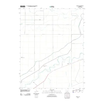 2010 Hadley2010 Print · USGSOtero County at the start of the twenty-first century reveals a landscape shaped by the Arkansas River and vital irrigation networks. Researchers can locate the Saint Paul's Lutheran Cemetery and trace the paths of the Fort Lyon Canal and Lewis Lateral.
 - 2010 Map of Arlington, 2010 Print
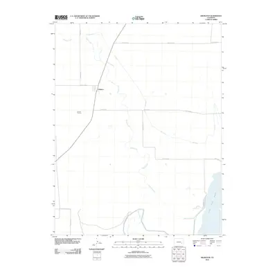 2010 Arlington2010 Print · USGSArlington and the high plains of Kiowa County are shown at the start of the 2010s, defined by an intricate network of irrigation canals and prairie creeks. Genealogists and local historians can locate the Arlington Cemetery and trace the vital water routes of the Colt Ditch and Adobe Creek Reservoir.
 - 2010 Map of Lamar West, 2010 Print
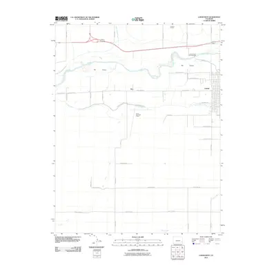 2010 Lamar West2010 Print · USGSThe Arkansas River valley near Lamar comes to life in this detailed record of Prowers County's water and transport networks. Researchers can trace the path of the Fort Bent Canal, locate the Crawford Cemetery, and see the early 21st-century footprint of Lamar.
 - 2010 Map of Toonerville NE, 2010 Print
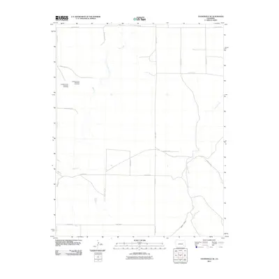 2010 Toonerville NE2010 Print · USGSBent County ranching and irrigation systems are captured here in the early twenty-first century. Genealogists and local historians can trace family land proximity to Poor Mans Ditch or follow the paths of Rule Creek and Caddoa Creek.
 - 2010 Map of Gilpin, 2010 Print
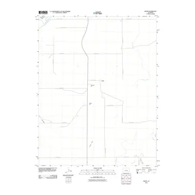 2010 Gilpin2010 Print · USGSThe high plains of Bent County are captured here in the early twenty-first century, centered on the settlement of Gilpin. Researchers can trace the path of the Purgatoire River and examine rural infrastructure like the Eagle Rock Ditch and Heinan Flats.
 - 2010 Map of Toonerville, 2010 Print
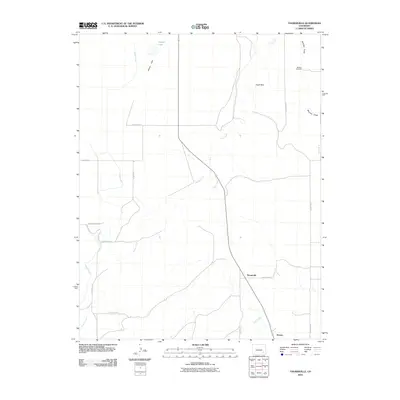 2010 Toonerville2010 Print · USGSBent County at the turn of the decade is documented through its ranching routes and water systems. Researchers can trace the layout of Toonerville, locate the McAfee Windmill, and follow the seasonal paths of Rule Creek and Muddy Creek.
 - 2010 Map of Prowers, 2010 Print
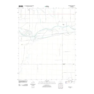 2010 Prowers2010 Print · USGSThe Arkansas River valley in Bent County is seen here at the start of the 21st century, where historic river landmarks meet a modern irrigation network. Researchers can locate Old Fort Lyons and trace the paths of the Fort Bent Canal and The Home Cemetery.
 - 2010 Map of Rock Canyon, 2010 Print
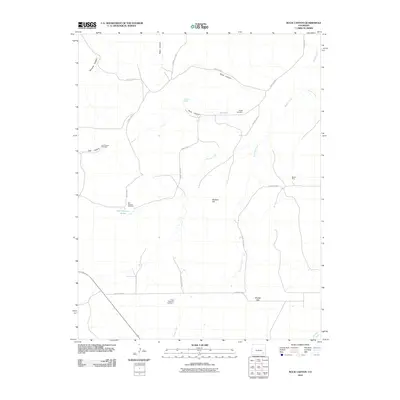 2010 Rock Canyon2010 Print · USGSLas Animas County ranch lands and high-plains terrain are captured here in the early twenty-first century. Researchers can locate isolated landmarks like the Pruett Cemetery, trace resource history at the Bentco Mine, and find family-named sites such as East Parsons Tanks.
 - 2010 Map of Hackamore Ranch, 2010 Print
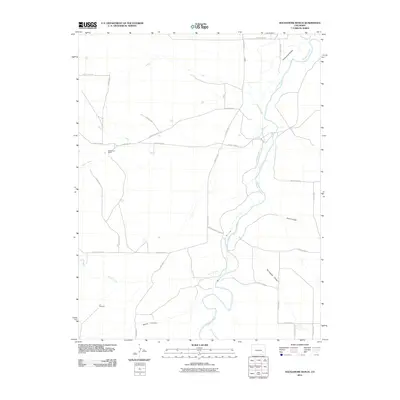 2010 Hackamore Ranch2010 Print · USGSBent County ranching country is captured here during the early twenty-first century as the cattle and irrigation economy continues. Researchers can trace the path of the Purgatoire River and locate remote landmarks like Hackamore Ranch or the J J Windmill.
 - 2010 Map of Lubers, 2010 Print
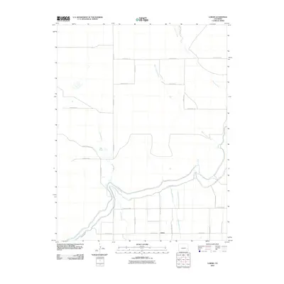 2010 Lubers2010 Print · USGSAgricultural life in eastern Colorado centered on Lubers and its complex irrigation networks during the early twenty-first century. Genealogists and historians can trace the vital water infrastructure of Lubers Ditch and the legacy of County Road Railroad.
Showing maps 1-25 of 168
Top cities of Bent County
Frequently asked questions
- What are the different types of historical maps available for Bent County?
- What is the oldest map of Bent County?
- Where can I purchase historical maps of Bent County for my home or office?
- Where can I download high-res historical maps of Bent County?
- Are there historical topographic maps available for Bent County?
- Is there historical aerial imagery available for Bent County?
- Where are historical maps of Bent County sourced from?