Old Maps of Georgetown, Colorado for Metal Detecting
Plan your next treasure hunt with 14 historic maps of Georgetown. Find old homesites, ghost towns, trails, and gathering spots that may be lost to time — perfect for identifying promising metal detecting locations.
- Locate forgotten sites: Uncover places like long-lost settlements, abandoned rail lines, or gathering spots.
- Plan better hunts: Use map overlays combined with LiDAR or satellite views to narrow in on historically rich areas.
- Made for detectorists: Thousands of hobbyists use these maps to discover relics, coins, and hidden history.
Use these historic maps to boost your research and find new opportunities beneath the surface of Georgetown.
Georgetown, CO maps
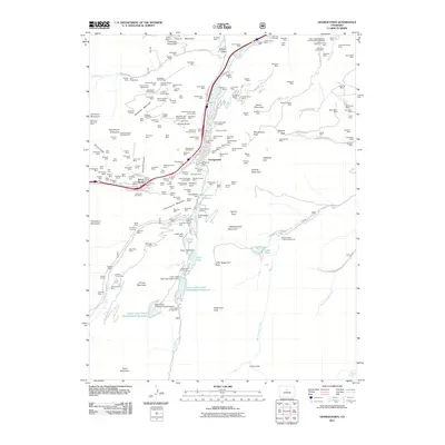
(14)- 1903 Map of Georgetown, 1957 Print
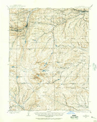 1903 Georgetown1957 Print · USGSMining operations and mountain railroads define the Clear Creek valley at the dawn of the twentieth century. Trace the iconic Georgetown Loop railroad and locate historic mining centers like Silver Plume, Lamartine, and the Stanley Mines.
 - 1905 Map of Georgetown
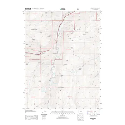
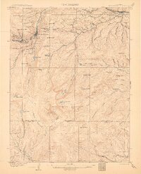 1905 Georgetown1905 Print · USGSThe Clear Creek valley was a hive of industrial activity at the start of the twentieth century, anchored by the rail connection between Georgetown and Silver Plume. Trace the famous Georgetown Loop and find high-altitude mining sites at Lamartine and Freeland.5 unique versions available
 - 1953 Map of Denver, 1964 Print
 1953 Denver1964 Print · USGSDenver and the Colorado Front Range are captured here during a decade of post-war growth and military expansion. Researchers can trace the sprawling rail lines of the Union Pacific, locate the State Capitol, and explore historic mountain mining hubs like Central City.6 unique versions available
 - 1957 Map of Denver
 1957 Denver1957 Print · USGSDenver and the Colorado Front Range are seen here during a mid-century period of intense military and urban expansion. Trace the footprints of the Rocky Mountain Arsenal, the early United States Air Force Academy, and the Lowry AF Base.
 - 1957 Map of Georgetown, 1959 Print
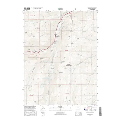
 1957 Georgetown1959 Print · USGSThe silver-mining heights of Clear Creek County appear in the mid-fifties just as mountain recreation began to grow. Trace the historic Georgetown Loop, locate family sites at Alvarado Cem, and find dozens of named mines like the Seven-Thirty Mine.7 unique versions available
 - 1957 Map of Georgetown, 1960 Print
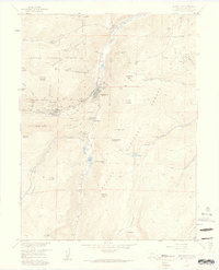
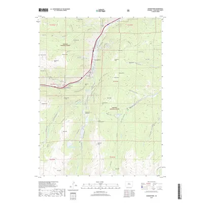
 1957 Georgetown1960 Print · USGSGeorgetown and the high peaks of the Front Range are captured here during a period of transition between its mining peak and modern recreation. Researchers can trace the heritage of the silver boom through Silver Plume, the Lamartine Tunnel, and the Old RR Grade.5 unique versions available
 - 1958 Map of Denver
 1958 Denver1958 Print · USGSDenver and the Colorado Front Range are captured here during the mid-century suburban boom. Trace the footprints of military installations like Buckley Air Force Base alongside the established rail networks of the Colorado & Southern Ry.
 - 1960 Map of Denver
 1960 Denver1960 Print · USGSDenver and the Colorado Front Range are seen here at a pivotal moment of postwar expansion into the plains and foothills. Researchers can trace the mid-century rail network of the Denver & Rio Grande Western RR and locate historic institutional landmarks like Buckley Field and the Colorado School of Mines.
 - 1983 Map of Denver West
 1983 Denver West1983 Print · USGSThe Front Range and Denver's western suburbs meet in the early 1980s, documenting the era's growth from the mountain peaks to the valley floor. Genealogists and historians can trace the foundations of Lakewood and Golden, or locate high-altitude landmarks like the Moffat Tunnel and Mount Olivet Cem.2 unique versions available
 - 2011 Map of Georgetown, 2011 Print
 2011 Georgetown2011 Print · USGSCovers Georgetown, including Silver Plume, Clear Creek County, and other nearby areas
 - 2013 Map of Georgetown, 2013 Print
 2013 Georgetown2013 Print · USGSCovers Georgetown, including Silver Plume, Clear Creek County, and other nearby areas
 - 2016 Map of Georgetown, 2016 Print
 2016 Georgetown2016 Print · USGSCovers Georgetown, including Silver Plume, Clear Creek County, and other nearby areas
 - 2019 Map of Georgetown, 2019 Print
 2019 Georgetown2019 Print · USGSCovers Georgetown, including Silver Plume, Clear Creek County, and other nearby areas
 - 2022 Map of Georgetown, 2022 Print
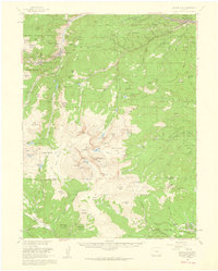
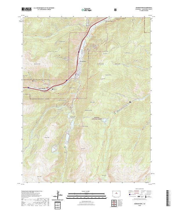 2022 Georgetown2022 Print · USGSHigh in the Clear Creek valley, this recent survey captures the enduring layout of two classic Colorado mining towns. Trace mountain heritage along the Argentine Central Railroad Grade Trl, find the Silver Plume Cem, and locate the Griffin Monument.
End of results
Showing maps 1-14 of 14
Top cities near Georgetown
- Idaho Springs historical maps
- Fraser historical maps
- Empire historical maps
- Silver Plume historical maps
- Black Hawk historical maps
- Montezuma historical maps
See more
Frequently asked questions
- What are the different types of historical maps available for Georgetown?
- What is the oldest map of Georgetown?
- Where can I purchase historical maps of Georgetown for my home or office?
- Where can I download high-res historical maps of Georgetown?
- Are there historical topographic maps available for Georgetown?
- Is there historical aerial imagery available for Georgetown?
- Where are historical maps of Georgetown sourced from?