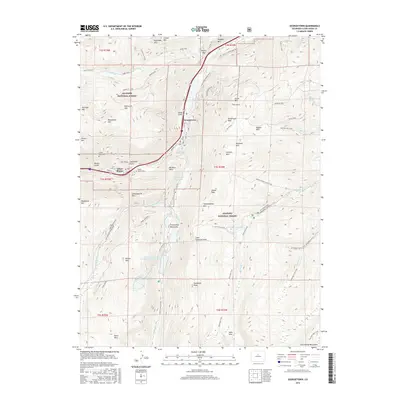
2016 Map of Georgetown
USGS Topo · Published 2016About this map
Georgetown and Silver Plume anchor this high-altitude landscape within the Arapaho National Forest, where the legacy of Colorado's mining era is etched into the topography. The industrial history of the region is evident in features like Silver Gulch and the Silver Creek Wagon Trail, while the Griffin Monument stands on the slopes of Griffith Mtn overlooking the valley.
Find a feature on this map
81 named features on this map. Tap any name to fly to it.
Don’t see what you’re looking for? This feature index may not catch every label — zoom into the map to look around manually.
Map Details
Editions of this 2016 Georgetown Map
This is the sole edition of this map. No revisions or reprints were ever made.
Other maps of this area
1903 · Georgetown
USGS Topo · 1:62,500
1905 · Central City
USGS Topo · 1:62,500
1905 · Georgetown
USGS Topo · 1:62,500
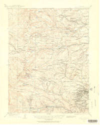
1910 · Central City
USGS Topo · 1:62,500
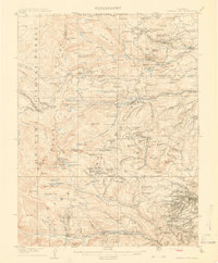
1912 · Central City
USGS Topo · 1:62,500
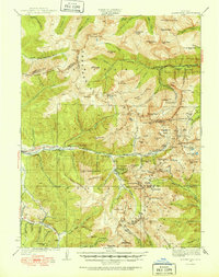
1924 · Montezuma
USGS Topo · 1:62,500
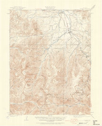
1924 · Fraser
USGS Topo · 1:62,500
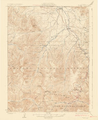
1926 · Fraser
USGS Topo · 1:62,500
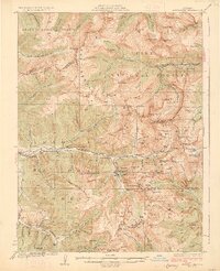
1926 · Montezuma
USGS Topo · 1:62,500
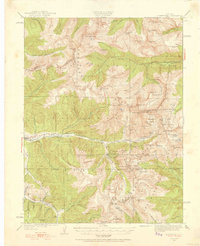
1933 · Montezuma
USGS Topo · 1:62,500