Old Maps of Dominguez, Colorado for Hiking & Exploration
Hike through history with 13 historic maps of Dominguez. Explore old trails, ghost towns, and forgotten backroads — perfect for outdoor adventurers and local explorers.
- Rediscover forgotten places: Map out old mining camps, roads, and footpaths that no longer exist on modern maps.
- Layer with modern tools: Combine with LiDAR or satellite views to plan hikes through historical terrain.
- Made for exploration: Popular among hikers, overlanders, and local history lovers.
Use these maps to find adventure and explore the hidden past of Dominguez.
Dominguez, CO maps
(13)- 1956 Map of Moab, 1972 Print
 1956 Moab1972 Print · USGSThe Colorado Plateau and La Sal Mountains appear here in the mid-fifties, just as the uranium boom and energy exploration were reshaping the Four Corners. Researchers can trace the Denver and Rio Grande Western through Cisco or locate the remote outpost of Uravan and Looking Glass Rock.3 unique versions available
 - 1959 Map of Moab
 1959 Moab1959 Print · USGSSoutheast Utah and Western Colorado are mapped here in the late fifties, just as the uranium boom was transforming the remote canyon lands. Genealogists and historians can trace the foundations of Moab and Nucla, or locate mining sites and landmarks like Uravan and Dead Horse Point.
 - 1960 Map of Moab
 1960 Moab1960 Print · USGSThe canyonlands and high plateaus of the Utah-Colorado border are shown here during the mid-century uranium boom. Researchers can trace the river-and-rail corridors of the Colorado River and the Denver and Rio Grande Western near Moab and Uravan.3 unique versions available
 - 1962 Map of Moab
 1962 Moab1962 Print · USGSThe canyon country of southeastern Utah and western Colorado is captured here in the early sixties, showing the reach of the Denver and Rio Grande Western through the desert. Researchers can trace the layout of mining settlements like Uravan and old railroad stops at Cisco and Sagers Station.
 - 1964 Map of Moab
 1964 Moab1964 Print · USGSThe canyonlands of eastern Utah and western Colorado are captured here in the mid-1960s, a time when uranium mining shaped the local economy. Researchers can trace the river-and-rail network through Sinbad Valley and locate mining outposts like Uravan and Vancorum.
 - 1965 Map of Moab
 1965 Moab1965 Print · USGSSoutheast Utah and Western Colorado are mapped here in the mid-sixties, showcasing a landscape of high plateaus and deep river canyons. Genealogists and historians can trace the mining-era towns of Uravan and Paradox or locate remote landmarks like Castleton and Dead Horse Point.
 - 1969 Map of Dominguez, 1972 Print
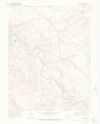 1969 Dominguez1972 Print · USGSDelta County in the late 1960s reveals a landscape defined by the winding Gunnison River and the Denver and Rio Grande Western railroad. Trace historic canyon sidings like Peeples or Dominguez and landmarks like McCarty Bench.2 unique versions available
 - 1980 Map of Delta
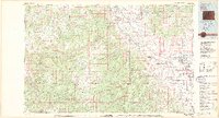 1980 Delta1980 Print · USGSWestern Colorado during the 1980s reveals a rugged landscape of high mesas and deep canyons where the mining and ranching economy thrived. Genealogists and researchers can trace local landmarks like Peis Green Corner or locate mining operations including the Peach Mines and Yellowbird Mines.3 unique versions available
 - 2010 Map of Dominguez, 2010 Print
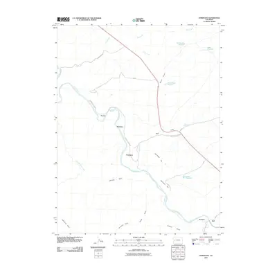 2010 Dominguez2010 Print · USGSThe Gunnison River valley south of Grand Junction appears here in the early twenty-first century as a land defined by river bends and canyon rims. Researchers can trace the placement of Escalante, Dominguez, and Peeples along the river or explore the heights of McCarty Bench.
 - 2013 Map of Dominguez, 2013 Print
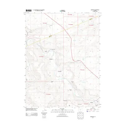 2013 Dominguez2013 Print · USGSThe Gunnison River canyon and its rugged tributaries dominate the landscape of the Mesa and Delta county line in the early 2010s. Researchers can trace historic ranching sites and local landmarks from Escalante to Broughton, including Wells Gulch Spring and McCarty Bench.
 - 2016 Map of Dominguez, 2016 Print
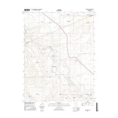 2016 Dominguez2016 Print · USGSIn the early twenty-first century, the canyon lands of Delta and Mesa County remain defined by the winding Gunnison River. Genealogists and historians can trace the remote settlements of Escalante, Peeples, and Huff alongside landmarks like Dominguez Rim and Leonards Basin.
 - 2019 Map of Dominguez, 2019 Print
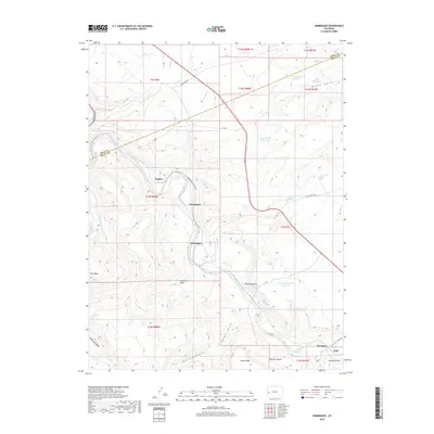 2019 Dominguez2019 Print · USGSWestern Slope river country and high plateaus come into focus in this recent survey. Local historians can trace the remote settlements of Dominguez and Broughton along the Gunnison River or locate water sources like Wells Gulch Spring.
 - 2022 Map of Dominguez, 2022 Print
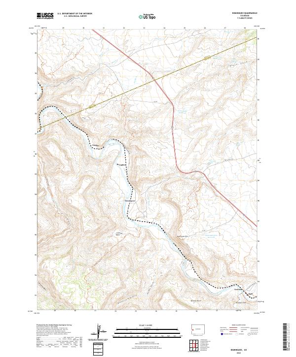 2022 Dominguez2022 Print · USGSThe Gunnison River canyon and its surrounding plateaus define this western Colorado landscape in the early twenty-first century. Researchers can trace historic river-side locations like Dominguez and Peeples, or locate high-country landmarks such as Leonards Basin and McCarty Bench.
End of results
Showing maps 1-13 of 13
Top cities near Dominguez
Frequently asked questions
- What are the different types of historical maps available for Dominguez?
- What is the oldest map of Dominguez?
- Where can I purchase historical maps of Dominguez for my home or office?
- Where can I download high-res historical maps of Dominguez?
- Are there historical topographic maps available for Dominguez?
- Is there historical aerial imagery available for Dominguez?
- Where are historical maps of Dominguez sourced from?