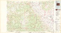
1980 Map of Delta
USGS Topo · Published 1980About this map
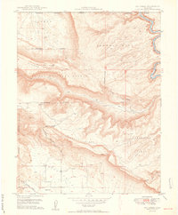
Delta and North Delta serve as the primary hubs of activity in this 1980 survey, where the river valleys meet the high plateau country of western Colorado. The map records a landscape heavily defined by its mining industry and high-altitude water management. Numerous active or named mining sites like the Fairview Mine, Venezia No 1 Mine, and Liberty Bell No 2 Mine are scattered across the mesas, particularly near Maverick Canyon and Sinbad Valley.
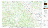
Find a feature on this map
132 named features on this map. Tap any name to fly to it.
Don’t see what you’re looking for? This feature index may not catch every label — zoom into the map to look around manually.
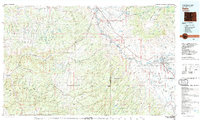
Map Details
Editions of this 1980 Delta Map
3 editions found
Other maps of this area

1885 · East Tavaputs
USGS Topo · 1:250,000

1885 · La Sal
USGS Topo · 1:250,000

1909 · Montrose
USGS Topo · 1:125,000

1911 · Montrose
USGS Topo · 1:125,000

1916 · Paradox Valley
USGS Topo · 1:125,000

1922 · Paradox Valley
USGS Topo · 1:125,000

1934 · Colorado National Monument
USGS Topo · 1:24,000

1948 · Roc Creek
USGS Topo · 1:24,000
1949 · Roc Creek
USGS Topo · 1:24,000

1949 · Juanita Arch
USGS Topo · 1:24,000