2000s (21st Century) Maps of Fort Collins, Colorado
Explore 35 historic maps of Fort Collins from the 2000s (21st Century). These maps offer a rare glimpse into what life looked like during the 2000s — showing old roads, neighborhoods, homes, and landmarks that have changed or disappeared over time.
Whether you're researching your family's past, planning a metal detecting trip, or studying how Fort Collins's landscape evolved across the 2000s, these high-resolution maps are a powerful tool for exploring the history of this region.
- Focus on a specific era: All maps on this page are from the 2000s, giving you a focused view of this time period.
- See what’s changed: Compare century-old streets, trails, and buildings to today's modern landscape using overlays and satellite layers.
- Research with precision: Use these maps for genealogy, historical research, land use analysis, or educational projects.
- View, download, or print: Maps are fully viewable online in high resolution, and can be downloaded or printed for your own records.
Start exploring Fort Collins's history through authentic maps from the 2000s. This is your window into the past.
Fort Collins, CO maps
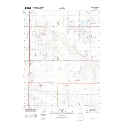
(35)- 2010 Map of Windsor, 2010 Print
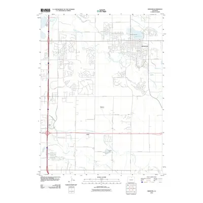 2010 Windsor2010 Print · USGSCovers Fort Collins, including Greeley, Loveland, and other nearby areas
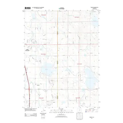
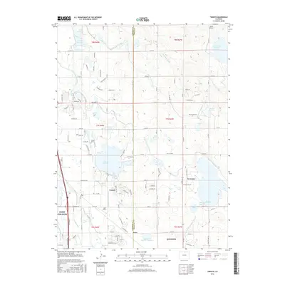
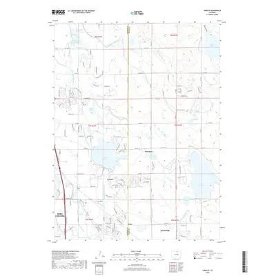
 - 2010 Map of Timnath, 2010 Print
 2010 Timnath2010 Print · USGSCovers Fort Collins, including Windsor, Severance, and other nearby areas
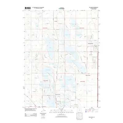
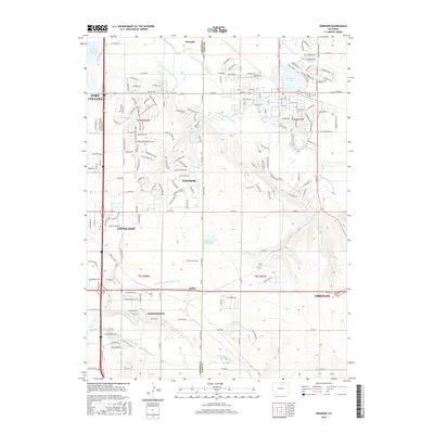
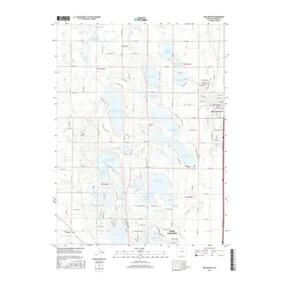
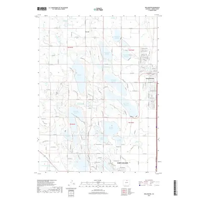
 - 2010 Map of Wellington, 2010 Print
 2010 Wellington2010 Print · USGSCovers Fort Collins, including Wellington, Waverly, and other nearby areas
 - 2010 Map of Loveland, 2010 Print
 2010 Loveland2010 Print · USGSCovers Fort Collins, including Loveland, Browns Corner, and other nearby areas
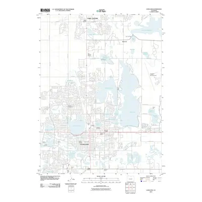
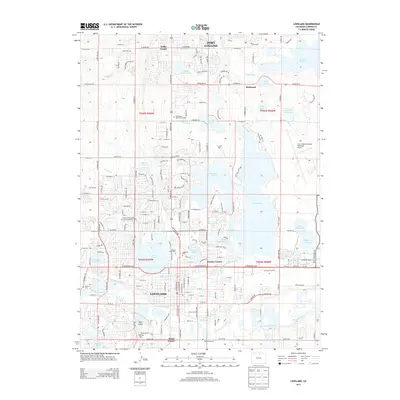
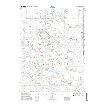
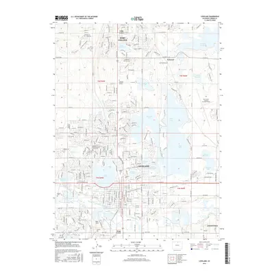
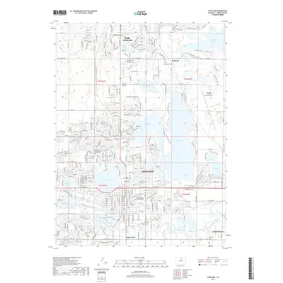
 - 2010 Map of Fort Collins, 2010 Print
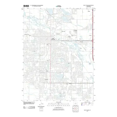 2010 Fort Collins2010 Print · USGSCovers Fort Collins, including Arrowhead, Larimer County, and other nearby areas
 - 2011 Map of Horsetooth Reservoir, 2011 Print
 2011 Horsetooth Reservoir2011 Print · USGSCovers Fort Collins, including Larimer County, United States, and other nearby areas
 - 2011 Map of Masonville, 2011 Print
 2011 Masonville2011 Print · USGSCovers Fort Collins, including Loveland, Little Dam, and other nearby areas
 - 2013 Map of Masonville, 2013 Print
 2013 Masonville2013 Print · USGSCovers Fort Collins, including Loveland, Little Dam, and other nearby areas
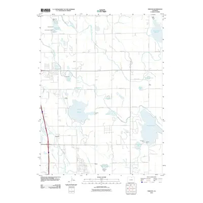
 - 2013 Map of Windsor, 2013 Print
 2013 Windsor2013 Print · USGSCovers Fort Collins, including Greeley, Loveland, and other nearby areas
 - 2013 Map of Horsetooth Reservoir, 2013 Print
 2013 Horsetooth Reservoir2013 Print · USGSCovers Fort Collins, including Larimer County, United States, and other nearby areas
 - 2013 Map of Timnath, 2013 Print
 2013 Timnath2013 Print · USGSCovers Fort Collins, including Windsor, Severance, and other nearby areas
 - 2013 Map of Fort Collins, 2013 Print
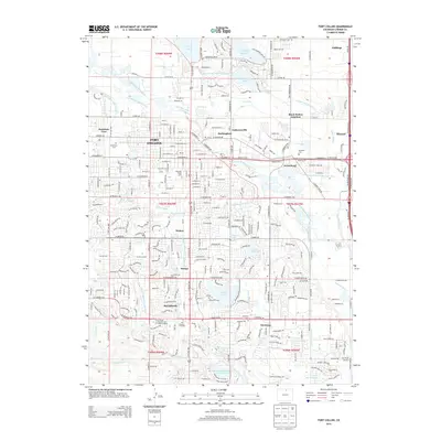 2013 Fort Collins2013 Print · USGSCovers Fort Collins, including Arrowhead, Larimer County, and other nearby areas
 - 2013 Map of Loveland, 2013 Print
 2013 Loveland2013 Print · USGSCovers Fort Collins, including Loveland, Browns Corner, and other nearby areas
 - 2013 Map of Wellington, 2013 Print
 2013 Wellington2013 Print · USGSCovers Fort Collins, including Wellington, Waverly, and other nearby areas
 - 2016 Map of Fort Collins, 2016 Print
 2016 Fort Collins2016 Print · USGSCovers Fort Collins, including Arrowhead, Larimer County, and other nearby areas
 - 2016 Map of Timnath, 2016 Print
 2016 Timnath2016 Print · USGSCovers Fort Collins, including Windsor, Severance, and other nearby areas
 - 2016 Map of Horsetooth Reservoir, 2016 Print
 2016 Horsetooth Reservoir2016 Print · USGSCovers Fort Collins, including Larimer County, United States, and other nearby areas
 - 2016 Map of Masonville, 2016 Print
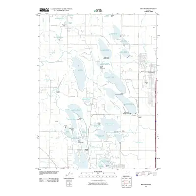
 2016 Masonville2016 Print · USGSCovers Fort Collins, including Loveland, Little Dam, and other nearby areas
 - 2016 Map of Loveland, 2016 Print
 2016 Loveland2016 Print · USGSCovers Fort Collins, including Loveland, Browns Corner, and other nearby areas
 - 2016 Map of Windsor, 2016 Print
 2016 Windsor2016 Print · USGSCovers Fort Collins, including Greeley, Loveland, and other nearby areas
 - 2016 Map of Wellington, 2016 Print
 2016 Wellington2016 Print · USGSCovers Fort Collins, including Wellington, Waverly, and other nearby areas
 - 2019 Map of Timnath, 2019 Print
 2019 Timnath2019 Print · USGSCovers Fort Collins, including Windsor, Severance, and other nearby areas
 - 2019 Map of Wellington, 2019 Print
 2019 Wellington2019 Print · USGSCovers Fort Collins, including Wellington, Waverly, and other nearby areas
 - 2019 Map of Horsetooth Reservoir, 2019 Print
 2019 Horsetooth Reservoir2019 Print · USGSCovers Fort Collins, including Larimer County, United States, and other nearby areas
 - 2019 Map of Loveland, 2019 Print
 2019 Loveland2019 Print · USGSCovers Fort Collins, including Loveland, Browns Corner, and other nearby areas
Showing maps 1-25 of 35
Top cities near Fort Collins
- Greeley historical maps
- Loveland historical maps
- Windsor historical maps
- Johnstown historical maps
- Severance historical maps
- Milliken historical maps
See more
Top neighborhoods of Fort Collins
- Harmony Crossing historical maps
- Library Stage historical maps
- Meadow Lark Heights historical maps
- Fairway Estates historical maps
- Oakridge Estates historical maps
- Fairway Estates historical maps
See more
Frequently asked questions
- What are the different types of historical maps available for Fort Collins?
- What is the oldest map of Fort Collins?
- Where can I purchase historical maps of Fort Collins for my home or office?
- Where can I download high-res historical maps of Fort Collins?
- Are there historical topographic maps available for Fort Collins?
- Is there historical aerial imagery available for Fort Collins?
- Where are historical maps of Fort Collins sourced from?