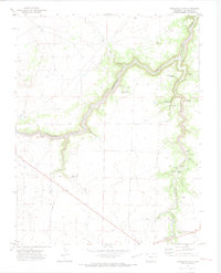
1970s Maps of Las Animas County, Colorado
Explore 102 historic maps of Las Animas County from the 1970s. These maps offer a rare glimpse into what life looked like during the 1970s — showing old roads, neighborhoods, homes, and landmarks that have changed or disappeared over time.
Whether you're researching your family's past, planning a metal detecting trip, or studying how Las Animas County's landscape evolved across the 1970s, these high-resolution maps are a powerful tool for exploring the history of this region.
- Focus on a specific era: All maps on this page are from the 1970s, giving you a focused view of this time period.
- See what’s changed: Compare century-old streets, trails, and buildings to today's modern landscape using overlays and satellite layers.
- Research with precision: Use these maps for genealogy, historical research, land use analysis, or educational projects.
- View, download, or print: Maps are fully viewable online in high resolution, and can be downloaded or printed for your own records.
Start exploring Las Animas County's history through authentic maps from the 1970s. This is your window into the past.
Las Animas County, CO maps
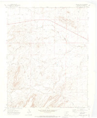
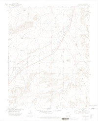
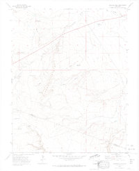
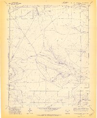
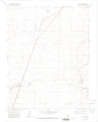
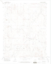
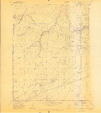
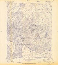
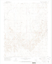
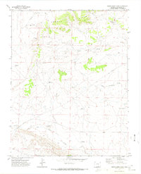
(102)- 1970 Map of Earl, 1974 Print
 1970 Earl1974 Print · USGSLas Animas County in the early 1970s is a landscape of river-fed agriculture and high-plains rail transit. Researchers can locate family heritage sites like Bloom Cem and Wilcox Cem or trace the path of the Atchison Topeka and Santa Fe through Earl.2 unique versions available
 - 1970 Map of Cucharas Reservoir, 1974 Print
 1970 Cucharas Reservoir1974 Print · USGSSouthern Colorado ranching country is documented here in the early 1970s, focused on the critical water resource of the Cucharas Reservoir. Genealogists and historians can trace family-named land features like Bustos Flat, Maes Spring, and the high reaches of Cordova Mesa.3 unique versions available
 - 1970 Map of Snowden Lake, 1974 Print
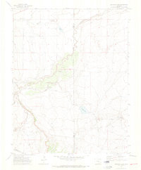 1970 Snowden Lake1974 Print · USGSPueblo and Otero counties meet along the Apishapa River in this early 1970s survey of the Colorado high plains. Genealogists and historians can trace essential water landmarks like Snowden Lake, Kitch Spring, and the Bull Pasture Windmill.4 unique versions available
 - 1970 Map of Pryor SE, 1974 Print
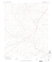
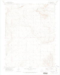 1970 Pryor SE1974 Print · USGSThe Colorado high plains near the county line are documented here in 1970, showing a landscape defined by ranching and old transit routes. Researchers can trace the Old Railroad Grade and locate the Williams Ranch near the ridge of The Hogback.
 - 1970 Map of Delhi, 1974 Print
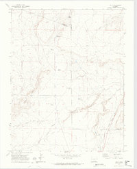 1970 Delhi1974 Print · USGSSoutheast Colorado ranching country is captured here just as the modern era reached these high plains. Genealogists and historians can trace family-named sites like Hall Windmills and Barbee Windmill along the path of the Santa Fe Trail.2 unique versions available
 - 1970 Map of Mooney Hills, 1974 Print
 1970 Mooney Hills1974 Print · USGSLas Animas County ranching country is captured here during the 1970s, showing a landscape shaped by water rights and the railroad. Genealogists and historians can trace the Colorado and Southern line or locate the remote Vigil Cem near Frijole Creek.
 - 1970 Map of Hoehne, 1974 Print
 1970 Hoehne1974 Print · USGSThe Purgatoire River valley south of the Black Hills is captured here during the early 1970s as a landscape shaped by irrigation and rail. Researchers can locate family roots at Martinez Cem or Gallegos Cem and trace the path of the Atchison Topeka and Santa Fe railroad.
 - 1970 Map of Thatcher, 1974 Print
 1970 Thatcher1974 Print · USGSLas Animas County ranchlands are documented here in the early seventies, showing the vital rail and water networks of the high plains. Researchers can trace the Atchison Topeka and Santa Fe RR through Thatcher or locate landmarks like Tater Hill and the Double Tank Windmill.2 unique versions available
 - 1970 Map of Myers Canyon, 1974 Print
 1970 Myers Canyon1974 Print · USGSSoutheast Colorado ranching country is captured here in the early seventies, detailing the intersection of Pueblo, Las Animas, and Huerfano counties. Genealogists and historians can locate family holdings like Spurlock Ranch and trace water sources like Big Flannery Res and Cactus Flat Windmill.
 - 1970 Map of Sanford Hills, 1974 Print
 1970 Sanford Hills1974 Print · USGSThe high plains of the Pueblo and Las Animas county line are captured here during the early 1970s. Researchers can locate remote cattle operations and water sources like English Camp, Jacobs Ranch, and the isolated Cem near the Apishapa River.4 unique versions available
 - 1971 Map of South Rattlesnake Butte, 1973 Print
 1971 South Rattlesnake Butte1973 Print · USGSRanching life on the Colorado border is captured here in the early seventies, showing a land of windmills and deep canyons. Trace the remote rural infrastructure of the era, from the South Butte School to Big Dripping Spring and Baker Reservoir.3 unique versions available
 - 1971 Map of Ninaview, 1973 Print
 1971 Ninaview1973 Print · USGSThe High Plains of southeastern Colorado in the early seventies reveal a landscape of isolated ranching outposts and dramatic geology. Trace family ties to the Ninaview area or study local landmarks like Pine Hill School and the Devils Rocking Chair.
 - 1971 Map of Tyrone, 1973 Print
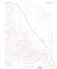
 1971 Tyrone1973 Print · USGSLas Animas County at the start of the 1970s shows a landscape defined by historical transit corridors and isolated plains settlements. Researchers can trace the path of the Santa Fe Trail alongside the Atchison Topeka and Santa Fe railroad near the Simpson Cem.
 - 1971 Map of Trinchera Cave, 1973 Print
 1971 Trinchera Cave1973 Print · USGSLas Animas County during the early 1970s reveals a landscape defined by the deep winding canyon of the Purgatoire River. Researchers can trace the Hispanic heritage at Los Hermanos Penitentes Cem or locate geologic landmarks like Trinchera Cave.2 unique versions available
 - 1971 Map of Gulnare, 1973 Print
 1971 Gulnare1973 Print · USGSLas Animas County ranchlands and mountain foothills are captured here in the early seventies, centered on the settlement of Gulnare. Researchers can trace old family burial sites at Jarosa Cem and navigate the high terrain around Cottontail Pass.4 unique versions available
 - 1971 Map of Walker Canyon, 1973 Print
 1971 Walker Canyon1973 Print · USGSThe canyon country of the Las Animas and Baca county border is captured here during the early seventies, showcasing a landscape of remote ranchlands and deep drainages. Researchers can locate vanished rural infrastructure like the Old Post Office and schools such as Cedar Edge School.
 - 1971 Map of Trinchera, 1973 Print
 1971 Trinchera1973 Print · USGSSouthern Colorado ranching and irrigation are captured here in the early seventies as the railroad skirts the foothills. Researchers can trace the path of the Colorado and Southern rail line and locate local burial sites like Nola Cem and Trinchera Plaza Cem.
 - 1971 Map of North Rattlesnake Butte, 1973 Print
 1971 North Rattlesnake Butte1973 Print · USGSHuerfano and Pueblo counties are documented here in the early 1970s as a landscape of remote ranching and essential water rights. Researchers can find old cattle country landmarks like North Butte Sch, Machatten Wells, and Hans Reservoir.2 unique versions available
 - 1971 Map of Barela, 1973 Print
 1971 Barela1973 Print · USGSThe high mesas of Las Animas County are captured here in the early 1970s, showcasing the high-country borderlands between Colorado and New Mexico. Genealogists and historians can trace the community of Barela and its Barela Cem, alongside the Mararski Mine and the winding Colorado and Southern railroad.3 unique versions available
 - 1971 Map of Plug Hat Ranch, 1973 Print
 1971 Plug Hat Ranch1973 Print · USGSLas Animas County ranching country is captured here in the early seventies, showing a landscape defined by isolated homesteads and high-plains topography. Genealogists and historians can locate family landmarks like Plug Hat Ranch, the Dry Creek School, and Graves.
 - 1971 Map of Brown Sheep Camp, 1973 Print
 1971 Brown Sheep Camp1973 Print · USGSLas Animas County ranch land is captured in the early seventies during a period of steady high-plains livestock production. Researchers can locate remote outposts like Brown Sheep Camp and Burson Camp alongside specific family-named landmarks like the Joella Windmill.
 - 1971 Map of Patterson Crossing, 1974 Print
 1971 Patterson Crossing1974 Print · USGSLas Animas County at the start of the seventies reveals a landscape of ranching and river navigation. Genealogists and historians can trace the vital water infrastructure of the Purgatoire River through features like Patterson Crossing, Patterson Ditch, and San Francisco Creek.
 - 1971 Map of Ludlow, 1974 Print
 1971 Ludlow1974 Print · USGSSouthern Colorado coal country is captured here in the early seventies, detailing the industrial landscape around the iconic Ludlow Memorial. Genealogists and historians can trace the foundations of mining life through the Berwind Ruins, the Ramey Mines, and the Old Railroad Grade.
 - 1971 Map of Little Pine Canyon, 1974 Print
 1971 Little Pine Canyon1974 Print · USGSLas Animas County during the early seventies is shown here as a landscape of deep canyons and historic land grants. Genealogists and historians can trace the legacy of the Beaubien and Miranda (Maxwell) grant and locate Velasquez Plaza or the Quinto Mine.2 unique versions available
 - 1971 Map of The Hogback, 1974 Print
 1971 The Hogback1974 Print · USGSSouthern Colorado's high plains near the New Mexico border come into focus in the early seventies, showing a landscape of ranching and rail. Trace the transition of transport along the Old Railroad Grade and find water sources like Freeburrow Lake and the Apishapa River.2 unique versions available
Showing maps 1-25 of 102
Top cities of Las Animas County
- Trinidad historical maps
- Aguilar historical maps
- Cokedale historical maps
- Kim historical maps
- Branson historical maps
- Starkville historical maps
Frequently asked questions
- What are the different types of historical maps available for Las Animas County?
- What is the oldest map of Las Animas County?
- Where can I purchase historical maps of Las Animas County for my home or office?
- Where can I download high-res historical maps of Las Animas County?
- Are there historical topographic maps available for Las Animas County?
- Is there historical aerial imagery available for Las Animas County?
- Where are historical maps of Las Animas County sourced from?