2020s Maps of Las Animas County, Colorado
Explore 135 historic maps of Las Animas County from the 2020s. These maps offer a rare glimpse into what life looked like during the 2020s — showing old roads, neighborhoods, homes, and landmarks that have changed or disappeared over time.
Whether you're researching your family's past, planning a metal detecting trip, or studying how Las Animas County's landscape evolved across the 2020s, these high-resolution maps are a powerful tool for exploring the history of this region.
- Focus on a specific era: All maps on this page are from the 2020s, giving you a focused view of this time period.
- See what’s changed: Compare century-old streets, trails, and buildings to today's modern landscape using overlays and satellite layers.
- Research with precision: Use these maps for genealogy, historical research, land use analysis, or educational projects.
- View, download, or print: Maps are fully viewable online in high resolution, and can be downloaded or printed for your own records.
Start exploring Las Animas County's history through authentic maps from the 2020s. This is your window into the past.
Las Animas County, CO maps
(135)- 2020 Map of Raton, 2020 Print
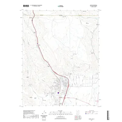 2020 Raton2020 Print · USGSCovers Las Animas County, including Raton, Keota, and other nearby areas
 - 2020 Map of Caliente Canyon North, 2020 Print
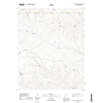 2020 Caliente Canyon North2020 Print · USGSCovers Las Animas County, including Colfax County, United States, and other nearby areas
 - 2020 Map of McWilliams Canyon, 2020 Print
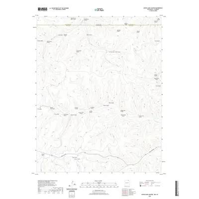 2020 McWilliams Canyon2020 Print · USGSCovers Las Animas County, including Colfax County, United States, and other nearby areas
 - 2020 Map of Casa Grande, 2020 Print
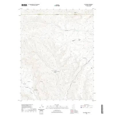 2020 Casa Grande2020 Print · USGSCovers Las Animas County, including Casa Grande, Colfax County, and other nearby areas
 - 2020 Map of Trinchera Pass, 2020 Print
 2020 Trinchera Pass2020 Print · USGSCovers Las Animas County, including Union County, Colfax County, and other nearby areas
 - 2020 Map of Tin Pan Canyon, 2020 Print
 2020 Tin Pan Canyon2020 Print · USGSCovers Las Animas County, including Brilliant, Colfax County, and other nearby areas
 - 2020 Map of Yankee, 2020 Print
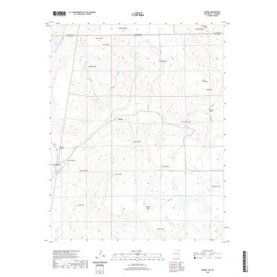 2020 Yankee2020 Print · USGSCovers Las Animas County, including Carisbrook, Yankee, and other nearby areas
 - 2020 Map of Dale Mountain, 2020 Print
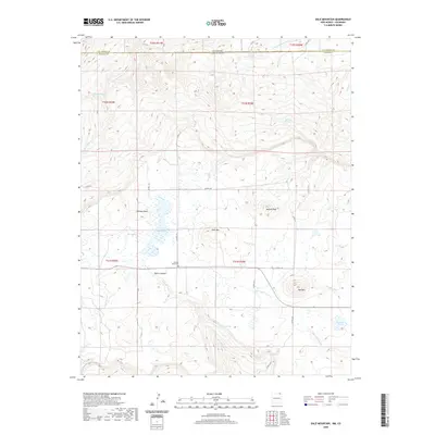 2020 Dale Mountain2020 Print · USGSCovers Las Animas County, including Colfax County, United States, and other nearby areas
 - 2020 Map of Wedding Cake Butte, 2020 Print
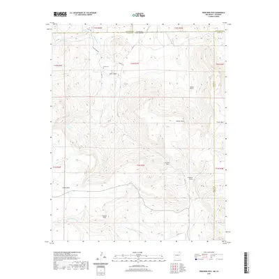
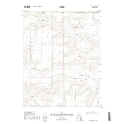
 2020 Wedding Cake Butte2020 Print · USGSCovers Las Animas County, including Union County, United States, and other nearby areas
 - 2020 Map of Cross L Ranch, 2020 Print
 2020 Cross L Ranch2020 Print · USGSCovers Las Animas County, including Union County, United States, and other nearby areas
 - 2020 Map of Travesser Park, 2020 Print
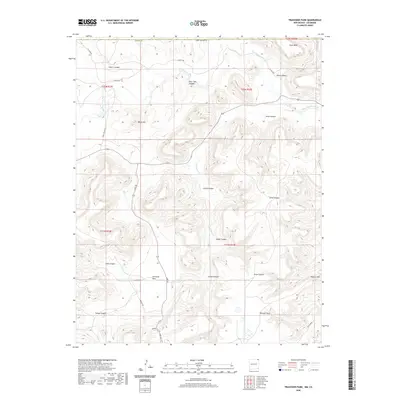 2020 Travesser Park2020 Print · USGSCovers Las Animas County, including Union County, United States, and other nearby areas
 - 2020 Map of Emery Peak, 2020 Print
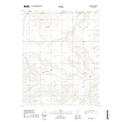 2020 Emery Peak2020 Print · USGSCovers Las Animas County, including Union County, United States, and other nearby areas
 - 2020 Map of Tub Spring, 2020 Print
 2020 Tub Spring2020 Print · USGSCovers Las Animas County, including Union County, United States, and other nearby areas
 - 2020 Map of Cobert Mesa South, 2020 Print
 2020 Cobert Mesa South2020 Print · USGSCovers Las Animas County, including Union County, United States, and other nearby areas
 - 2020 Map of Vermejo Park, 2020 Print
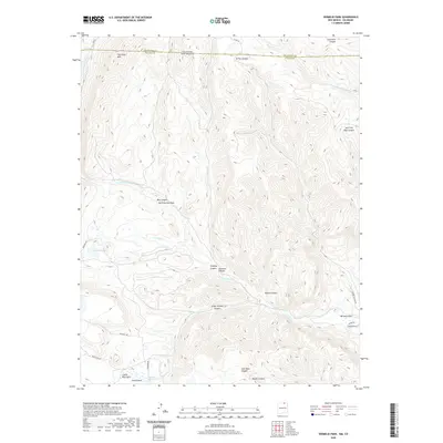 2020 Vermejo Park2020 Print · USGSCovers Las Animas County, including Colfax County, United States, and other nearby areas
 - 2020 Map of The Wall, 2020 Print
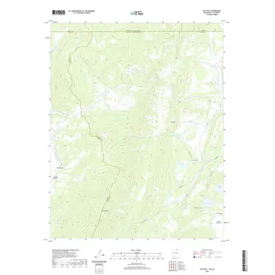 2020 The Wall2020 Print · USGSCovers Las Animas County, including Banning Place, Taos County, and other nearby areas
 - 2020 Map of Alps Mesa, 2020 Print
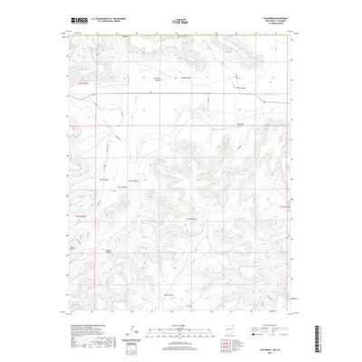
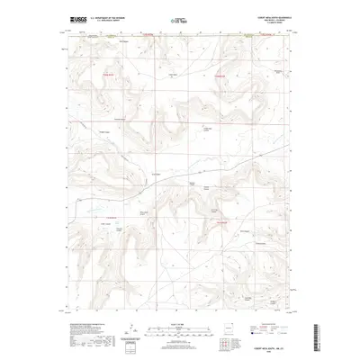
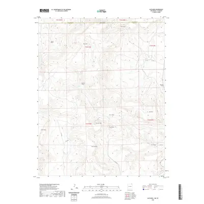 2020 Alps Mesa2020 Print · USGSCovers Las Animas County, including Union County, United States, and other nearby areas
 - 2022 Map of Hoehne, 2022 Print
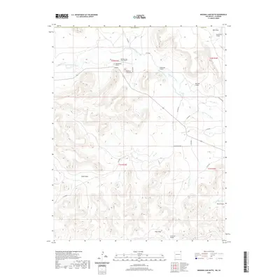
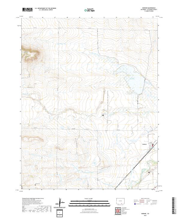 2022 Hoehne2022 Print · USGSThe community of Hoehne and the surrounding high plains of Las Animas County appear here in a recent detailed study. Trace local history through the Hoehne Community Cem, the Martinez Cem, and the massive irrigation network of the Model Reservoir.
 - 2022 Map of The Hogback, 2022 Print
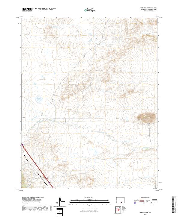 2022 The Hogback2022 Print · USGSLas Animas County at the start of the 2020s remains a landscape defined by its waters and ridgelines. Trace the management of the Apishapa River through the Saiz Ditch and find local landmarks like The Hogback and Freeburrow Lake.
 - 2022 Map of Clay Ranch, 2022 Print
 2022 Clay Ranch2022 Print · USGSSoutheastern Colorado ranch lands appear in recent detail at the junction of Bent, Baca, and Las Animas counties. Researchers can trace remote property lines and water sources along Rule Cr, Cottonwood Cr, and State Hwy 101.
 - 2022 Map of Branson SE, 2022 Print
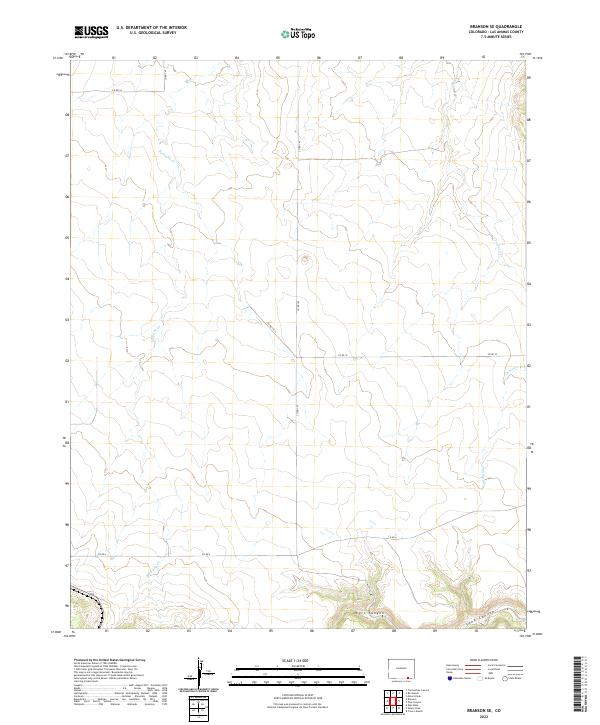 2022 Branson SE2022 Print · USGSSouthern Las Animas County near the New Mexico border is shown here in this recent survey of its ranching and canyon country. Researchers can trace the courses of Bachicha Cr and Chacuaco Cr or locate access points along CO RD 147 and CO RD 4.
 - 2022 Map of Beaty Canyon, 2022 Print
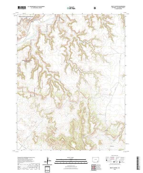 2022 Beaty Canyon2022 Print · USGSCanyons and mesas dominate this portion of Las Animas County in the 2020s, showing the intersection of military lands and national grasslands. Researchers can trace the winding Purgatoire River and locate remote water sources like Goat Ranch Spring and Sumpter Spring.
 - 2022 Map of Table Mesa, 2022 Print
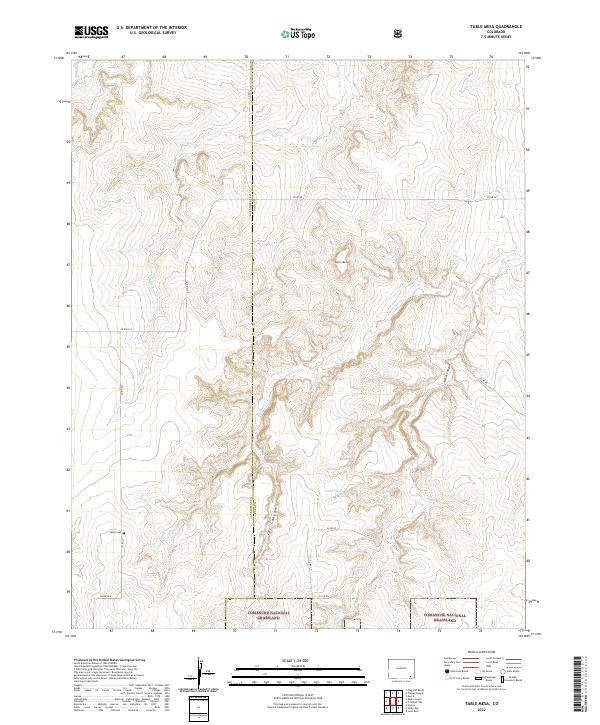 2022 Table Mesa2022 Print · USGSSoutheast Colorado's high plains and canyon country are shown here in the early twenty-first century as the landscape transitioned into protected grassland. Researchers can locate the Robb Cem and trace remote water sources like Watt Spring and O'Hair Spring.
 - 2022 Map of Little Pine Canyon, 2022 Print
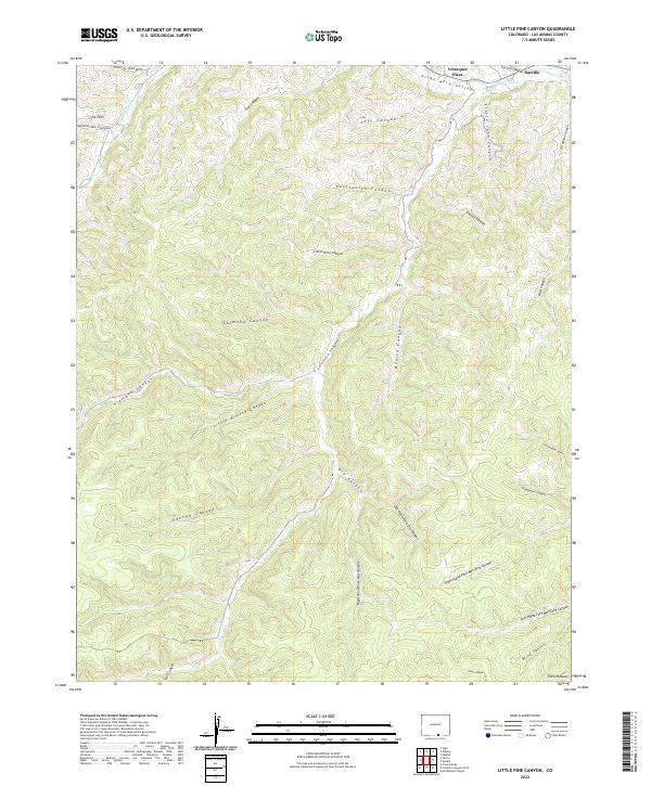 2022 Little Pine Canyon2022 Print · USGSThe Picketwire Valley in the early twenty-first century remains defined by its deep canyons and river-fed settlements. Genealogists and land researchers can locate Velasquez Plaza, Sarcillo, and the remote drainages of Alamosa Canyon.
 - 2022 Map of Pryor, 2022 Print
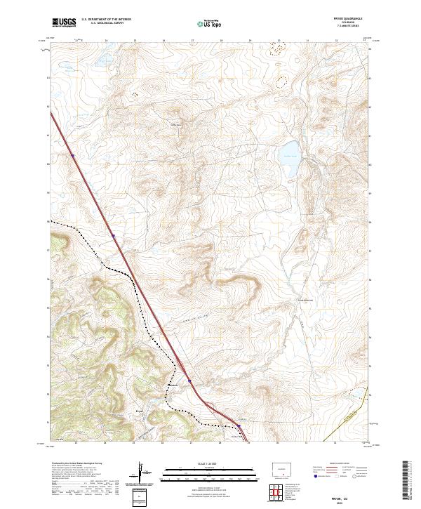 2022 Pryor2022 Print · USGSHuerfano County's high plains and canyonlands are captured here in modern detail, showing the rural landscape around the Huerfano-Las Animas border. Researchers can trace the drainages of Walsen Arroyo and locate family-named landmarks like Saliba Mesa and Pryor Canyon.
Showing maps 1-25 of 135
Top cities of Las Animas County
- Trinidad historical maps
- Aguilar historical maps
- Cokedale historical maps
- Kim historical maps
- Branson historical maps
- Starkville historical maps
Frequently asked questions
- What are the different types of historical maps available for Las Animas County?
- What is the oldest map of Las Animas County?
- Where can I purchase historical maps of Las Animas County for my home or office?
- Where can I download high-res historical maps of Las Animas County?
- Are there historical topographic maps available for Las Animas County?
- Is there historical aerial imagery available for Las Animas County?
- Where are historical maps of Las Animas County sourced from?