Old Maps of Elk Springs, Colorado for Metal Detecting
Plan your next treasure hunt with 13 historic maps of Elk Springs. Find old homesites, ghost towns, trails, and gathering spots that may be lost to time — perfect for identifying promising metal detecting locations.
- Locate forgotten sites: Uncover places like long-lost settlements, abandoned rail lines, or gathering spots.
- Plan better hunts: Use map overlays combined with LiDAR or satellite views to narrow in on historically rich areas.
- Made for detectorists: Thousands of hobbyists use these maps to discover relics, coins, and hidden history.
Use these historic maps to boost your research and find new opportunities beneath the surface of Elk Springs.
Elk Springs, CO maps
(13)- 1907 Map of White River, 1957 Print
 1907 White River1957 Print · USGSNorthwestern Colorado at the start of the century was a frontier of isolated river valleys and sprawling cattle range. Genealogists can trace early landmarks like Maybell P O, the Keystone Ranch, and the river crossing at Thornburgh Bridge.
 - 1910 Map of White River
 1910 White River1910 Print · USGSNorthwest Colorado is captured here in the early twentieth century as a landscape of remote river valleys and high plateaus. Local historians can trace early crossings like Thornburgh Bridge and old outposts such as Maybell P O and Keystone Ranch.2 unique versions available
 - 1954 Map of Vernal, 1966 Print
 1954 Vernal1966 Print · USGSThe Green River basin and Uinta Mountains come alive in this mid-century survey of northeastern Utah and northwestern Colorado. Genealogists and researchers can trace the development of remote outposts like Little Bonanza, Artesia, and Dutch John alongside the expanding Flaming Gorge Reservoir.4 unique versions available
 - 1958 Map of Vernal
 1958 Vernal1958 Print · USGSThe Uinta Basin at the end of the fifties reveals a landscape shaped by massive river systems and burgeoning energy interests. Researchers can trace the layout of Uintah and Ouray Indian Reservation lands and industrial sites like the Gilsonite coking plant and Bonanza.
 - 1960 Map of Vernal
 1960 Vernal1960 Print · USGSNortheastern Utah was a rugged frontier of mineral extraction and federal conservation in the mid-twentieth century. Genealogists and historians can trace the growth of Vernal, locate Gilsonite mining operations near Bonanza, and explore the 1950s boundaries of Dinosaur National Monument.
 - 1960 Map of Elk Springs, 1962 Print
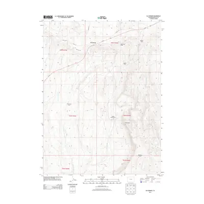
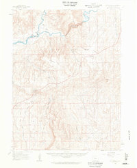 1960 Elk Springs1962 Print · USGSNorthwestern Colorado rangelands come into focus at the dawn of the 1960s, showing the intersection of river canyons and remote cattle country. Researchers can trace the heritage of local land use through family-named sites like White Bear Ranch and Rinker Ranch near the Yampa River.4 unique versions available
 - 1979 Map of Rangely
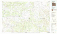 1979 Rangely1979 Print · USGSNorthwestern Colorado in the late seventies is a landscape of high-desert basins and industrial energy hubs. Local historians can trace the development of the Rangely Oil Field, the layout of Colorado Northwestern Community College, and crossroads at Massadona and Elk Springs.
 - 1986 Map of Elk Springs
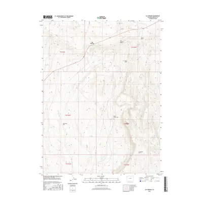
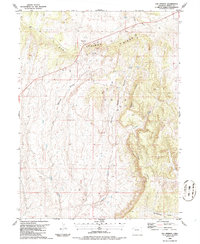 1986 Elk Springs1986 Print · USGSMoffat County's high desert landscape was a center for energy exploration in the 1980s. Local history researchers can trace old ranching and mineral paths near Elk Springs, Mc Andrews Gulch, and the prominent Pinon Ridge.
 - 2010 Map of Elk Springs, 2010 Print
 2010 Elk Springs2010 Print · USGSCovers Elk Springs, including Moffat County, United States, and other nearby areas
 - 2013 Map of Elk Springs, 2013 Print
 2013 Elk Springs2013 Print · USGSCovers Elk Springs, including Moffat County, United States, and other nearby areas
 - 2016 Map of Elk Springs, 2016 Print
 2016 Elk Springs2016 Print · USGSCovers Elk Springs, including Moffat County, United States, and other nearby areas
 - 2019 Map of Elk Springs, 2019 Print
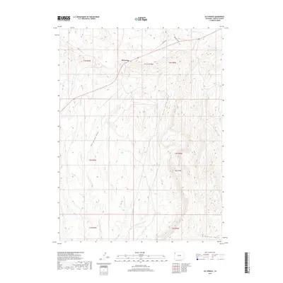 2019 Elk Springs2019 Print · USGSCovers Elk Springs, including Moffat County, United States, and other nearby areas
 - 2022 Map of Elk Springs, 2022 Print
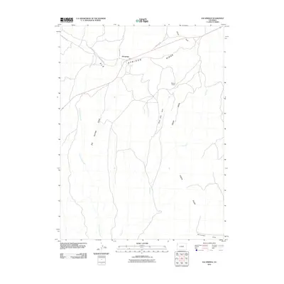
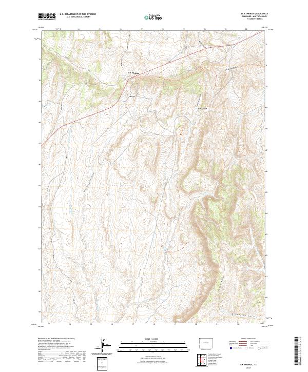 2022 Elk Springs2022 Print · USGSElk Springs and the surrounding Moffat County high country are captured here in the early 2020s. Researchers can trace the topography of Piñon Ridge and Elk Springs Ridge or locate specific points of interest like Winter Valley and McAndrews Gulch.
End of results
Showing maps 1-13 of 13
Frequently asked questions
- What are the different types of historical maps available for Elk Springs?
- What is the oldest map of Elk Springs?
- Where can I purchase historical maps of Elk Springs for my home or office?
- Where can I download high-res historical maps of Elk Springs?
- Are there historical topographic maps available for Elk Springs?
- Is there historical aerial imagery available for Elk Springs?
- Where are historical maps of Elk Springs sourced from?