Old Maps of Uravan, Colorado for Metal Detecting
Plan your next treasure hunt with 19 historic maps of Uravan. Find old homesites, ghost towns, trails, and gathering spots that may be lost to time — perfect for identifying promising metal detecting locations.
- Locate forgotten sites: Uncover places like long-lost settlements, abandoned rail lines, or gathering spots.
- Plan better hunts: Use map overlays combined with LiDAR or satellite views to narrow in on historically rich areas.
- Made for detectorists: Thousands of hobbyists use these maps to discover relics, coins, and hidden history.
Use these historic maps to boost your research and find new opportunities beneath the surface of Uravan.
Uravan, CO maps
(19)- 1916 Map of Paradox Valley, 1955 Print
 1916 Paradox Valley1955 Print · USGSWestern Colorado during the height of early mineral exploration is documented here across the high plateaus and deep river canyons. Genealogists and historians can locate remote outpost camps like Shamrock Camp or Sunny Jim Camp and industrial landmarks such as the Coke Ovens.
 - 1922 Map of Paradox Valley
 1922 Paradox Valley1922 Print · USGSMontrose and San Miguel Counties are shown here during the early twentieth-century mining era, featuring a network of ore-processing camps and early river settlements. Researchers can trace historic industrial sites like the Cashin Mine and Coke Ovens or locate early rural institutions such as the Radium School.2 unique versions available
 - 1948 Map of Uravan, 1955 Print
 1948 Uravan1955 Print · USGSMining operations along the San Miguel River are at their peak in the late 1940s as the atomic era begins. Researchers can trace the industrial footprint of uranium production through local landmarks like the Club Mines, Uravan, and the Bitter Creek Mines.2 unique versions available
 - 1949 Map of Uravan
 1949 Uravan1949 Print · USGSThe mining community of Uravan sits at a crossroads of Cold War industry and high-desert geography in the late 1940s. Genealogists and historians can trace numerous specific extraction sites like the Media Mine, Fortyfive-Ninety Mine, and the Bitter Creek Mines.2 unique versions available
 - 1956 Map of Moab, 1972 Print
 1956 Moab1972 Print · USGSThe Colorado Plateau and La Sal Mountains appear here in the mid-fifties, just as the uranium boom and energy exploration were reshaping the Four Corners. Researchers can trace the Denver and Rio Grande Western through Cisco or locate the remote outpost of Uravan and Looking Glass Rock.3 unique versions available
 - 1959 Map of Moab
 1959 Moab1959 Print · USGSSoutheast Utah and Western Colorado are mapped here in the late fifties, just as the uranium boom was transforming the remote canyon lands. Genealogists and historians can trace the foundations of Moab and Nucla, or locate mining sites and landmarks like Uravan and Dead Horse Point.
 - 1960 Map of Moab
 1960 Moab1960 Print · USGSThe canyonlands and high plateaus of the Utah-Colorado border are shown here during the mid-century uranium boom. Researchers can trace the river-and-rail corridors of the Colorado River and the Denver and Rio Grande Western near Moab and Uravan.3 unique versions available
 - 1960 Map of Uravan, 1961 Print
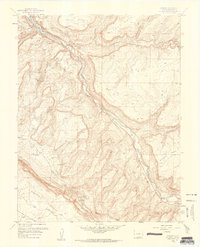 1960 Uravan1961 Print · USGSMontrose County was the epicenter of the American uranium boom when this survey was field-checked in the mid-century. Researchers can trace the industrial footprint of the Uravan site, including the Tailings Ponds and mines like Sunbeam Mine or Virgin Mine.4 unique versions available
 - 1960 Map of Nucla, 1961 Print
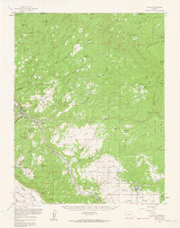 1960 Nucla1961 Print · USGSThe Colorado Plateau's mining boom is in full swing during the early sixties, centered on the company town of Uravan and the surrounding mesas. Genealogists and industrial historians can trace dozens of specific claims such as the Sunbeam Mine and Navajo Mine, or locate family landmarks like Templeton Ranch and the Nucla Cemetery.2 unique versions available
 - 1962 Map of Moab
 1962 Moab1962 Print · USGSThe canyon country of southeastern Utah and western Colorado is captured here in the early sixties, showing the reach of the Denver and Rio Grande Western through the desert. Researchers can trace the layout of mining settlements like Uravan and old railroad stops at Cisco and Sagers Station.
 - 1964 Map of Moab
 1964 Moab1964 Print · USGSThe canyonlands of eastern Utah and western Colorado are captured here in the mid-1960s, a time when uranium mining shaped the local economy. Researchers can trace the river-and-rail network through Sinbad Valley and locate mining outposts like Uravan and Vancorum.
 - 1965 Map of Moab
 1965 Moab1965 Print · USGSSoutheast Utah and Western Colorado are mapped here in the mid-sixties, showcasing a landscape of high plateaus and deep river canyons. Genealogists and historians can trace the mining-era towns of Uravan and Paradox or locate remote landmarks like Castleton and Dead Horse Point.
 - 1983 Map of Nucla
 1983 Nucla1983 Print · USGSWestern Colorado’s canyon country is documented here during the early eighties, showcasing a region defined by uranium mining and high-plateau ranching. Trace local genealogy and industrial footprints through settlements like Uravan and Naturita or remote sites such as the Morning Glory Mine.2 unique versions available
 - 1994 Map of Uravan
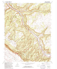 1994 Uravan1994 Print · USGSMining operations dominate this stretch of the San Miguel River in the 1990s. Researchers can locate named sites like Sunbeam Mine and the Department of Energy Uranium Reserve.
 - 2010 Map of Uravan, 2010 Print
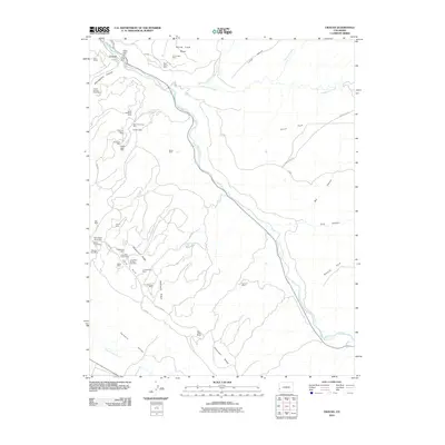 2010 Uravan2010 Print · USGSMontrose County’s mining heart is on display in this contemporary topographic survey of the Uravan vicinity. Researchers can trace decades of industrial history through dozens of named claims and workings including the Club Mines, Bitter Creek Mines, and the Sunbeam Mine.
 - 2013 Map of Uravan, 2013 Print
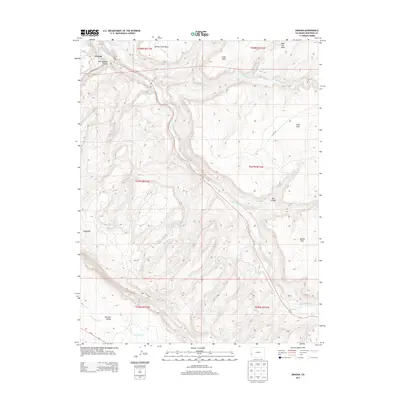 2013 Uravan2013 Print · USGSMontrose County’s river canyons and high mesas are documented here in the early twenty-first century as they transitioned from industrial use. Researchers can trace the winding San Miguel River past Uravan, locate Horsethief Spring, and follow the road into Paradox Valley.
 - 2016 Map of Uravan, 2016 Print
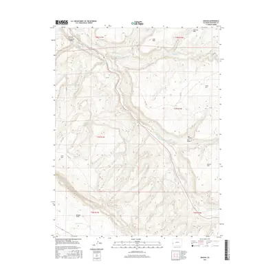 2016 Uravan2016 Print · USGSUravan and the San Miguel River corridor are shown here in the mid-2010s, capturing the industrial and natural character of the Paradox Basin. Researchers can trace the geography of the high mesas and canyons, locating landmarks like Horsethief Spring, Wild Cow Mesa, and the entrance to Paradox Valley.
 - 2019 Map of Uravan, 2019 Print
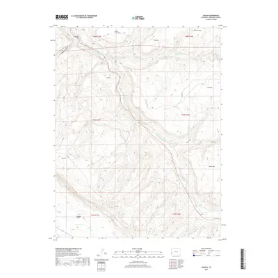 2019 Uravan2019 Print · USGSMontrose County's canyon country is documented in recent years as it transitions from its industrial past to a modern landscape. Genealogists and historians can trace the canyon-floor roads around Uravan or locate natural landmarks like Horsethief Spring and Paradox Valley.
 - 2022 Map of Uravan, 2022 Print
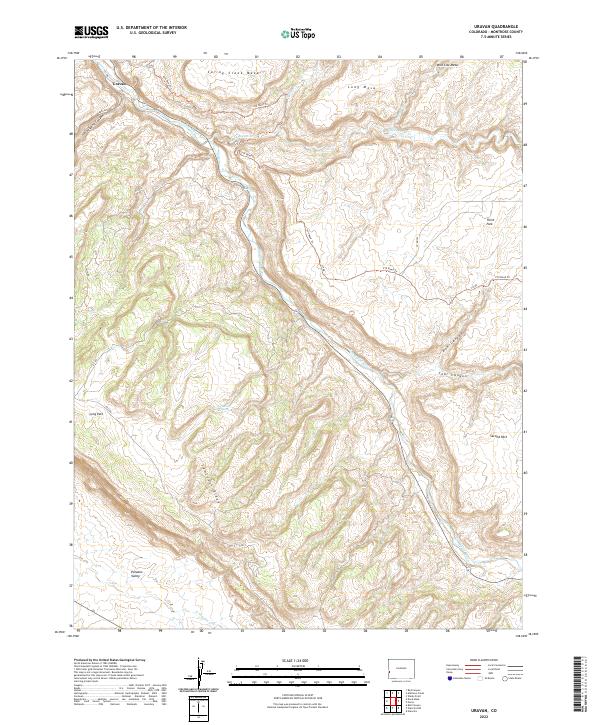 2022 Uravan2022 Print · USGSThe high desert of Montrose County in the early 2020s shows a landscape of mesa-top plains and river-carved valleys. Trace the terrain around the settlement of Uravan, following the San Miguel River past Horsethief Spring and the steep Sawtooth Ridge.
End of results
Showing maps 1-19 of 19
Top cities near Uravan
Frequently asked questions
- What are the different types of historical maps available for Uravan?
- What is the oldest map of Uravan?
- Where can I purchase historical maps of Uravan for my home or office?
- Where can I download high-res historical maps of Uravan?
- Are there historical topographic maps available for Uravan?
- Is there historical aerial imagery available for Uravan?
- Where are historical maps of Uravan sourced from?