1900s (20th Century) Maps of Morgan County, Colorado
Explore 58 historic maps of Morgan County from the 1900s (20th Century). These maps offer a rare glimpse into what life looked like during the 1900s — showing old roads, neighborhoods, homes, and landmarks that have changed or disappeared over time.
Whether you're researching your family's past, planning a metal detecting trip, or studying how Morgan County's landscape evolved across the 1900s, these high-resolution maps are a powerful tool for exploring the history of this region.
- Focus on a specific era: All maps on this page are from the 1900s, giving you a focused view of this time period.
- See what’s changed: Compare century-old streets, trails, and buildings to today's modern landscape using overlays and satellite layers.
- Research with precision: Use these maps for genealogy, historical research, land use analysis, or educational projects.
- View, download, or print: Maps are fully viewable online in high resolution, and can be downloaded or printed for your own records.
Start exploring Morgan County's history through authentic maps from the 1900s. This is your window into the past.
Morgan County, CO maps
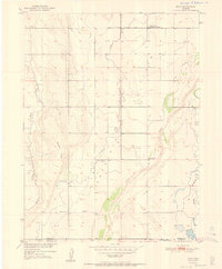
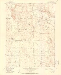
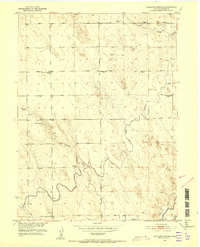
(58)- 1950 Map of Wiggins, 1952 Print
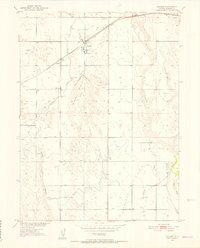 1950 Wiggins1952 Print · USGSWiggins and the surrounding Morgan County ranchlands are documented here at the mid-century mark, showing the region's transition into modern irrigation. Genealogists and local historians can trace the Chicago Burlington and Quincy rail line through Wiggins and Lambert, or locate the rural Cem.7 unique versions available
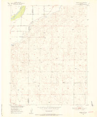
 - 1950 Map of Greasewood Lake, 1952 Print
 1950 Greasewood Lake1952 Print · USGSThe Colorado high plains during the post-war energy boom show a ranching landscape beginning to share space with oil exploration. Trace old homesteading remnants like the Prairie Queen School (Aban'd) and reliable water sources like Greasewood Lake and Sandborn Draw.
 - 1950 Map of Wiggins SW, 1952 Print
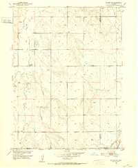 1950 Wiggins SW1952 Print · USGSThe Colorado high plains of Weld and Morgan counties are captured here in the mid-century, defined by vital water infrastructure and rural school districts. Genealogists and historians can trace the locations of the Kiowa School and the path of the Gaynor Nile Ditch.2 unique versions available
 - 1950 Map of Masters, 1966 Print
 1950 Masters1966 Print · USGSMid-century Weld and Morgan Counties are captured here as a landscape shaped by the South Platte River and its essential irrigation network. Researchers can trace the Union Pacific rail line through Masters and Sublette or locate historic waterworks like the Bijou Canal and Empire Reservoir.2 unique versions available
 - 1950 Map of Hoyt, 1972 Print
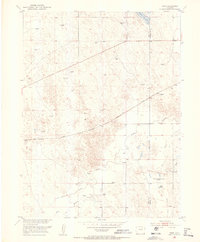
 1950 Hoyt1972 Print · USGSThe Colorado high plains on the Morgan and Adams county line are captured here at mid-century, defined by scattered ranching outposts and new federal infrastructure. Genealogists and researchers can locate the Hoyt Cemetery, the settlement of Hoyt, and the Long Meadow Community Center.4 unique versions available
 - 1951 Map of Hoyt
 1951 Hoyt1951 Print · USGSThe Morgan and Adams County border area is captured here in the early fifties, showing a rural landscape at the intersection of prairie life and federal utility growth. Researchers can locate the Hoyt Cemetery, the Long Meadow Community Center, and the specialized USGS Testing and Recording Station.2 unique versions available
 - 1951 Map of Masters
 1951 Masters1951 Print · USGSNortheastern Colorado at the turn of the fifties reveals a landscape defined by the Union Pacific and a complex irrigation network. Genealogists and historians can trace the rail settlements of Masters and Sublette or locate family-named windmills across the Green City Flats.2 unique versions available
 - 1951 Map of Weldona, 1952 Print
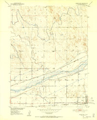
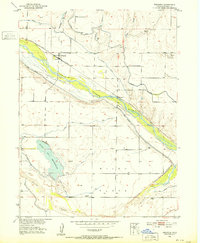 1951 Weldona1952 Print · USGSThe Colorado plains near Morgan County come to life in this early 1950s survey of the South Platte River valley. Genealogists and local historians can trace the intricate irrigation networks of Bijou Flats, the Union Pacific rail line, and the local Cem.5 unique versions available
 - 1951 Map of Orchard, 1952 Print
 1951 Orchard1952 Print · USGSThe South Platte River valley is captured here in the early fifties, showing a landscape defined by irrigation and rail. Genealogists and researchers can trace the rural layout of Orchard and Goodrich or find the Goodrich School and local Oil Wells.7 unique versions available
 - 1951 Map of Dead Horse Springs, 1952 Print
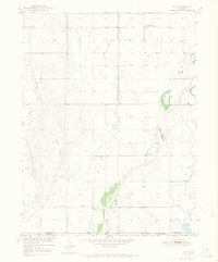
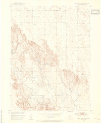
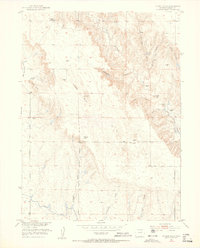
 1951 Dead Horse Springs1952 Print · USGSThe high plains of Morgan County are captured here in the early fifties, showing a landscape defined by ranching and vital water infrastructure. Researchers can locate the Victory School, the path of the Riverside Canal, and numerous family-named Windmill sites.4 unique versions available
 - 1951 Map of Willard, 1952 Print
 1951 Willard1952 Print · USGSWillard and the surrounding Logan County plains are captured here in the early 1950s, showing a landscape defined by the railroad and irrigation. Researchers can trace the Chicago Burlington and Quincy rail line, locate Prairie Lawn Cemetery, and find the Pawnee Valley School.3 unique versions available
 - 1951 Map of Messex, 1952 Print
 1951 Messex1952 Print · USGSEastern Colorado plains life in the early fifties revolves around the river and the rails. Trace family roots at the Roosevelt School or Merino Cemetery, and explore the vital irrigation systems including the Sterling Canal and Prewitt Reservoir.4 unique versions available
 - 1951 Map of Sunken Lake, 1952 Print
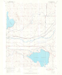
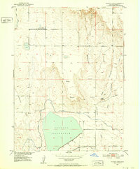 1951 Sunken Lake1952 Print · USGSThe arid grasslands of Morgan County are mapped here in the early fifties as the Missouri River Basin project shaped the landscape. Genealogists can locate the Pleasant Prairie School and trace the shorelines of Sunken Lake and Jackson Reservoir.3 unique versions available
 - 1951 Map of Brush West, 1952 Print
 1951 Brush West1952 Print · USGSMorgan County's river-bottom agriculture and rail network are captured here in the early fifties. Genealogists and historians can trace local landmarks like Eben-Ezer Hospital, rural education at Morey School, and the settlement at Lodi.5 unique versions available
 - 1951 Map of Antelope Springs, 1952 Print
 1951 Antelope Springs1952 Print · USGSMid-century Morgan County shows a rural landscape adapting to change as irrigation projects like the Riverside Canal reshaped the land. Researchers can locate the Antelope Springs Church and the sites of the Gilliland School (Aban'd) and Bammer Sch (Aban'd).3 unique versions available
 - 1951 Map of Merino SW, 1952 Print
 1951 Merino SW1952 Print · USGSNortheastern Colorado’s plains are captured here in the early fifties, documenting the remote ranching lands between Washington and Morgan counties. Researchers can trace rural life through the Highland School, the waters of Emerson Lake, and the winding South Platte River.5 unique versions available
 - 1951 Map of Brush East, 1953 Print
 1951 Brush East1953 Print · USGSEastern Colorado's agricultural heartland thrived along the river during the early 1950s. Genealogists and researchers can trace the sugar industry at Brush, locate rural schoolhouses like Fairview School, and follow the Union Pacific rail lines through Snyder.4 unique versions available
 - 1951 Map of Peace Valley School, 1953 Print
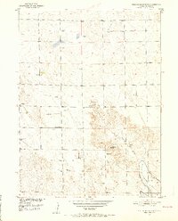
 1951 Peace Valley School1953 Print · USGSRanching life in Morgan County comes into focus in the early 1950s, showing a landscape shaped by water engineering. Trace the local schoolhouse at Peace Valley School and the remnants of the Jackpot Ditch (Abandoned) along the breaks of Wildcat Creek.2 unique versions available
 - 1951 Map of Omar, 1953 Print
 1951 Omar1953 Print · USGSEastern Colorado ranching and rail history are well-preserved here in the early 1950s near the settlement of Omar. Genealogists and researchers can trace the path of the Chicago Burlington and Quincy and locate family-named features like the West Nile Reservoir.5 unique versions available
 - 1951 Map of Judson Hills, 1953 Print
 1951 Judson Hills1953 Print · USGSMorgan County ranching and irrigation are captured here in the early fifties, showing a landscape shaped by water rights and rural education. Genealogists and historians can trace the Sunnyside School (Abandoned) and early infrastructure like the Riverside Canal and Jackpot Ditch.3 unique versions available
 - 1951 Map of Fort Morgan, 1953 Print
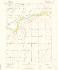
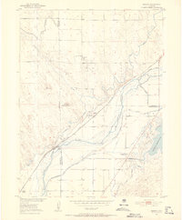
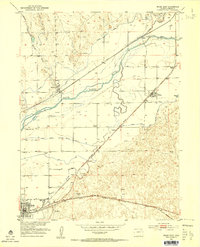
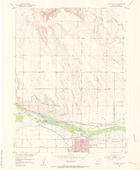 1951 Fort Morgan1953 Print · USGSFort Morgan thrives as a riverfront industrial center in the early fifties, anchored by its sugar beet industry and the railroad. Genealogists and local historians can trace the foundations of the community through Riverside Cem, Baker Sch, and the Sugar Refinery.4 unique versions available
 - 1954 Map of Sterling
 1954 Sterling1954 Print · USGSNortheastern Colorado and the Nebraska borderlands are defined by the river-and-rail corridors of the mid-twentieth century. Researchers can trace the development of agricultural hubs from Sterling and Fort Morgan to smaller rail stops along the Union Pacific and Burlington Northern lines.3 unique versions available
 - 1954 Map of Greeley, 1966 Print
 1954 Greeley1966 Print · USGSNorthern Colorado transitions from high-alpine peaks to the irrigated South Platte valley during this mid-century period of growth. Genealogists and historians can trace rail-connected hubs like Greeley and Longmont alongside landmarks like Horsetooth Reservoir and Estes Park.3 unique versions available
 - 1957 Map of Greeley
 1957 Greeley1957 Print · USGSNorthern Colorado in the mid-fifties is captured here as the agricultural plains of Weld County meet the high peaks of the Front Range. Genealogists and historians can trace rail-linked towns like Keenesburg and Roggen or locate early water features such as Boyd Lake and Fossil Creek Reservoir.
 - 1958 Map of Greeley
 1958 Greeley1958 Print · USGSNorthern Colorado and the high peaks of the Front Range appear here in the mid-fifties as the region's agricultural and rail networks were fully established. Genealogists can locate family homes near Virginia Dale, Waverly, or Kuner, and trace the path of the Union Pacific Railroad through Greeley.
Showing maps 1-25 of 58
Top cities of Morgan County
- Fort Morgan historical maps
- Brush historical maps
- Log Lane Village historical maps
- Wiggins historical maps
- Morgan Heights historical maps
- Hillrose historical maps
See more
Frequently asked questions
- What are the different types of historical maps available for Morgan County?
- What is the oldest map of Morgan County?
- Where can I purchase historical maps of Morgan County for my home or office?
- Where can I download high-res historical maps of Morgan County?
- Are there historical topographic maps available for Morgan County?
- Is there historical aerial imagery available for Morgan County?
- Where are historical maps of Morgan County sourced from?