2010s Maps of Morgan County, Colorado
Explore 140 historic maps of Morgan County from the 2010s. These maps offer a rare glimpse into what life looked like during the 2010s — showing old roads, neighborhoods, homes, and landmarks that have changed or disappeared over time.
Whether you're researching your family's past, planning a metal detecting trip, or studying how Morgan County's landscape evolved across the 2010s, these high-resolution maps are a powerful tool for exploring the history of this region.
- Focus on a specific era: All maps on this page are from the 2010s, giving you a focused view of this time period.
- See what’s changed: Compare century-old streets, trails, and buildings to today's modern landscape using overlays and satellite layers.
- Research with precision: Use these maps for genealogy, historical research, land use analysis, or educational projects.
- View, download, or print: Maps are fully viewable online in high resolution, and can be downloaded or printed for your own records.
Start exploring Morgan County's history through authentic maps from the 2010s. This is your window into the past.
Morgan County, CO maps
(140)- 2010 Map of Omar, 2010 Print
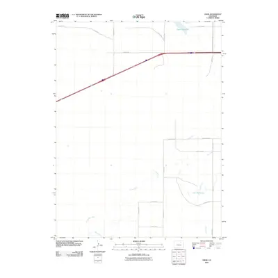 2010 Omar2010 Print · USGSWeld County’s agricultural landscape is seen here at the start of the 2010s, defined by its vital water management systems and rural road grid. Researchers can trace the path of Kiowa Creek and locate water features like Empire Reservoir and West Nile Reservoir.
 - 2010 Map of Hoyt, 2010 Print
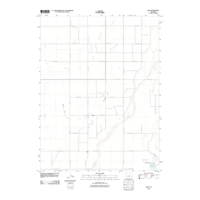 2010 Hoyt2010 Print · USGSMorgan County's high plains are documented here in the early 21st century, showing the intersection of agricultural land division and natural drainage. Genealogists and local historians can locate the Hoyt Cemetery and trace the paths of Bijou Creek and Antelope Creek.
 - 2010 Map of Orchard, 2010 Print
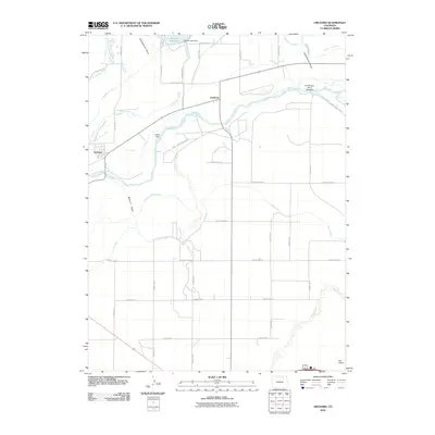 2010 Orchard2010 Print · USGSNortheastern Colorado’s agricultural heartland is defined by its water management systems and small prairie settlements at the start of the 21st century. Genealogists and local historians can trace the irrigation networks that shaped Orchard and Goodrich, from the Fort Morgan Canal to the banks of the South Platte River.
 - 2010 Map of Wiggins SW, 2010 Print
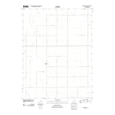 2010 Wiggins SW2010 Print · USGSAdams County at the start of the 2010s shows a landscape of expansive agriculture defined by an exacting grid of county roads. Researchers can trace the intersection of prairie hydrology and local industry at Westberg-Rosling Farms Airport and the Nile Ditch.
 - 2010 Map of Sunken Lake, 2010 Print
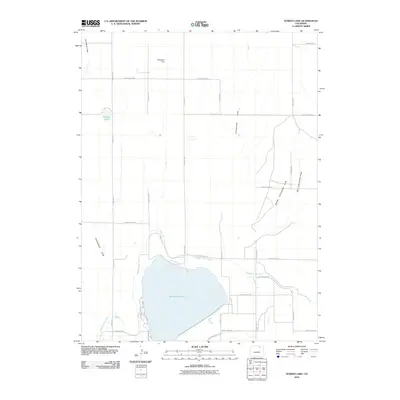 2010 Sunken Lake2010 Print · USGSMorgan County is shown at a time when hydraulic engineering shaped the plains, centered on the significant waters of Jackson Reservoir. Researchers can trace the complex irrigation systems of the Riverside Intake Canal and locate landmarks like Wickstrom Dam and Sunken Lake.
 - 2010 Map of Greasewood Lake, 2010 Print
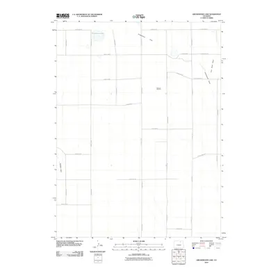 2010 Greasewood Lake2010 Print · USGSWeld County’s high plains are documented here in the early twenty-first century, showing a landscape defined by industrial activity and seasonal water. Researchers can trace the drainage of Greasewood Draw or locate the site of the Patterson Well Mine.
 - 2010 Map of Masters, 2010 Print
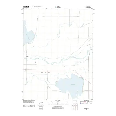 2010 Masters2010 Print · USGSThe High Plains of Colorado in the early twenty-first century reveal a landscape defined by water and ranching. Trace the complex irrigation network from the South Platte River to the Empire Reservoir, and locate landmarks like the Masters Post Office and Yocam Ranch Airport.
 - 2010 Map of Wiggins, 2010 Print
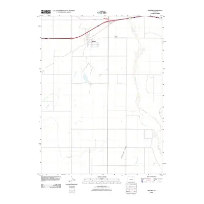 2010 Wiggins2010 Print · USGSWiggins and the surrounding Morgan County plains are captured here in the early twenty-first century as the high prairie meets the South Platte drainage. Genealogists and local historians can trace the townsite of Wiggins, the nearby Wiggins Cemetery, and the meandering courses of Bijou Creek and Antelope Creek.
 - 2010 Map of Dead Horse Springs, 2010 Print
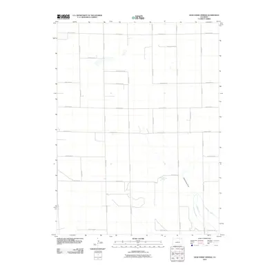 2010 Dead Horse Springs2010 Print · USGSThe Colorado plains of Morgan County are captured here in the early twenty-first century, showing the intersection of natural drainage and human irrigation. Genealogists and local historians can trace the rural property boundaries defined by County Road AA and the waters of Dead Horse Springs.
 - 2010 Map of Weldona, 2010 Print
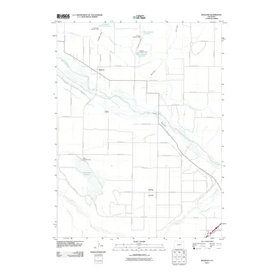 2010 Weldona2010 Print · USGSThe Morgan County plains and the South Platte River corridor are mapped here during the early twenty-first century. Researchers can trace the layout of Weldona, find family roots at the Weldona Cemetery, and study the massive irrigation network including the Fort Morgan Canal.
 - 2010 Map of Pinneo, 2010 Print
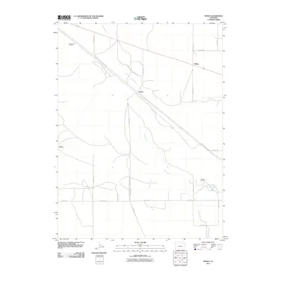 2010 Pinneo2010 Print · USGSWashington County ranching and energy production are in focus during the early twenty-first century. Genealogists and local historians can trace the grid of rural life through the West Xenia Oil Field, the Old Black Tank Windmill, and the settlement of Pinneo.
 - 2010 Map of Antelope Springs, 2010 Print
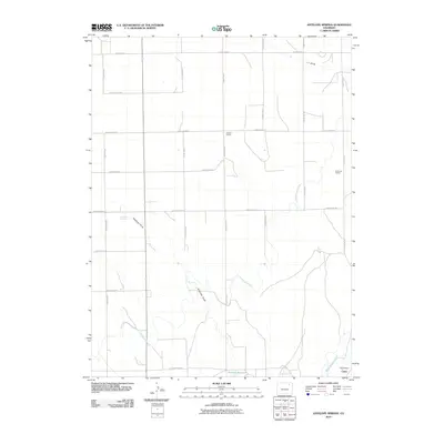 2010 Antelope Springs2010 Print · USGSThe rural landscape of northeastern Colorado is captured here as a sophisticated network of irrigation and education. Genealogists and local historians can trace the sites of the Gilliland School, Brammer School, and the community of Union among the waters of the Riverside Intake Canal.
 - 2010 Map of Huey Ranch, 2010 Print
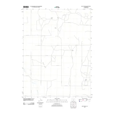 2010 Huey Ranch2010 Print · USGSAdams County ranching and energy extraction are captured here at the start of the 2010s. Genealogists and historians can trace family landholdings at Huey Ranch or locate industrial sites like the Sand River Oil Field.
 - 2010 Map of Vallery SE, 2010 Print
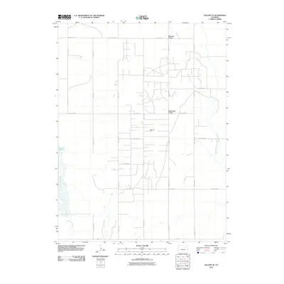 2010 Vallery SE2010 Print · USGSMorgan County is shown in the early twenty-first century as a landscape defined by energy and ranching. Genealogists and historians can trace local landmarks like Ninemile Corner, the Huey Ranch, and the extensive Adena Oil Field.
 - 2010 Map of Brush West, 2010 Print
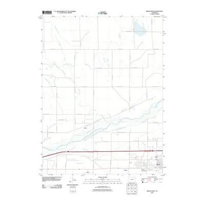 2010 Brush West2010 Print · USGSMorgan County agricultural and water systems are at the forefront of this 2010 study of the plains near Brush. Researchers can trace the path of the South Platte River alongside numerous historic irrigation works like the Upper Platte and Beaver Canal and local landmarks such as Lodi and the J. L. Brush Memorial Cemetery.
 - 2010 Map of Fort Morgan, 2010 Print
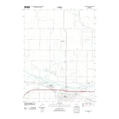 2010 Fort Morgan2010 Print · USGSFort Morgan and the South Platte River corridor are captured here in the early twenty-first century, showing the critical intersection of high-plains agriculture and river-based industry. Genealogists and researchers can locate Riverside Cemetery, the Presbyterian Church Columbarium, and nearby Log Lane Village.
 - 2010 Map of Round Top, 2010 Print
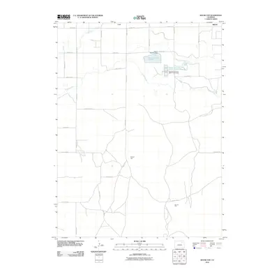 2010 Round Top2010 Print · USGSThe Morgan County plains come into focus at the start of the decade, showing a landscape shaped by industrial water projects and oil extraction. Genealogists and researchers can locate Lodi, the Allen Oil Field, and the course of the Fort Morgan Canal.
 - 2010 Map of Adena, 2010 Print
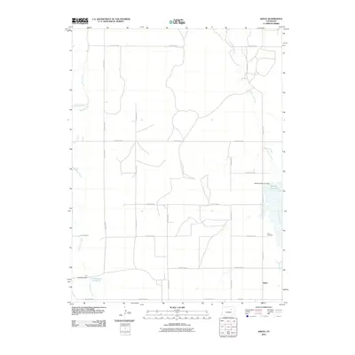 2010 Adena2010 Print · USGSAdena and the surrounding Morgan County plains are documented here during the early twenty-first century. Genealogists and local researchers can locate the Adena Cemetery and trace water management features like the Rosener Reservoir and DT Number 3 Dam.
 - 2010 Map of Gary, 2010 Print
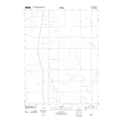 2010 Gary2010 Print · USGSThe rural settlement of Gary is documented here in the early 2000s, surrounded by an extensive grid of agricultural transport routes. Genealogists and local historians can trace the paths of Beaver Creek and Buck Creek as they wind past County Road F and County Rd-32.
 - 2010 Map of Rago, 2010 Print
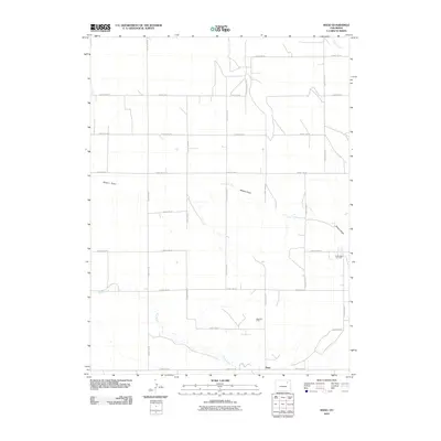 2010 Rago2010 Print · USGSThe high plains of Morgan County are mapped here in the early twenty-first century, showcasing a rural landscape defined by ranching and energy. Researchers can trace the local infrastructure around Rago and the footprints of the Rago Oil Field and North Rago Oil Field.
 - 2010 Map of Miller Ranch, 2010 Print
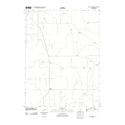 2010 Miller Ranch2010 Print · USGSMorgan County ranchlands are documented here in the early twenty-first century, showing the vital irrigation network south of Brush. You can trace family-named infrastructure and rural crossroads like Miller Ranch, Ninemile Corner, and the Zorichak Oil Field.
 - 2010 Map of Lamb, 2010 Print
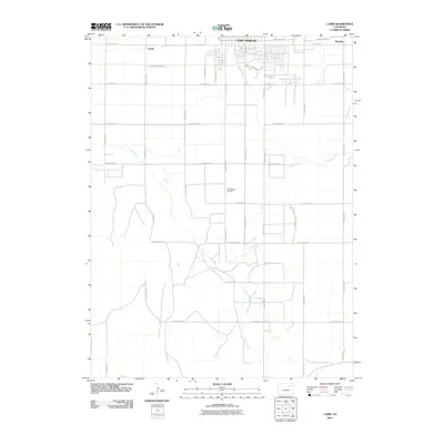 2010 Lamb2010 Print · USGSThe high plains of Morgan County are shown here in the early 2000s, where irrigation and industry meet. Researchers can trace the path of the Fort Morgan Canal and locate rural landmarks like the Fort Morgan Oil Field and the community of Lamb.
 - 2010 Map of Peace Valley School, 2010 Print
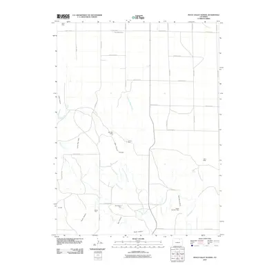 2010 Peace Valley School2010 Print · USGSMorgan County is shown at the start of the 2010s as a landscape of remote schoolhouses and high-plains water engineering. Researchers can trace rural landmarks like Peace Valley School and Wirth Field, or study ranching infrastructure at Mac Rae Dam and Jackpot Ditch.
 - 2010 Map of Merino SW, 2010 Print
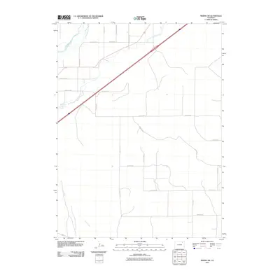 2010 Merino SW2010 Print · USGSMorgan County is shown in the early twenty-first century as a landscape defined by high plains agriculture and irrigation. Genealogists and researchers can trace local property boundaries and landmarks like Lower Platte and Beaver Ditch, Emerson Lake, and the path of Camp Creek.
 - 2010 Map of Vallery, 2010 Print
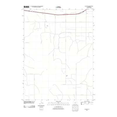 2010 Vallery2010 Print · USGSMorgan County at the start of the 2010s shows a landscape defined by ranching, energy, and interstate transit. Trace the local infrastructure around Vallery, Griffin, and the Vallery Oil Field alongside the path of Bijou Creek.
Showing maps 1-25 of 140
Top cities of Morgan County
- Fort Morgan historical maps
- Brush historical maps
- Log Lane Village historical maps
- Wiggins historical maps
- Morgan Heights historical maps
- Hillrose historical maps
See more
Frequently asked questions
- What are the different types of historical maps available for Morgan County?
- What is the oldest map of Morgan County?
- Where can I purchase historical maps of Morgan County for my home or office?
- Where can I download high-res historical maps of Morgan County?
- Are there historical topographic maps available for Morgan County?
- Is there historical aerial imagery available for Morgan County?
- Where are historical maps of Morgan County sourced from?