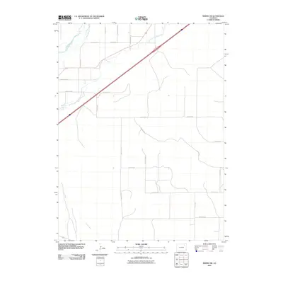
2010 Map of Merino SW
USGS Topo · Published 2010About this map
The South Platte River cuts across the northwest corner of this Colorado landscape, defining a corridor of vital irrigation infrastructure in an otherwise arid expanse. Critical to the agricultural economy of Morgan County, the Lower Platte and Beaver Ditch parallels the river, providing the water necessary for farming in the high plains. A grid of section roads, such as County Rd 55 and County Rd P, organizes the territory south of the river, where the terrain is punctuated by drainage features like Camp Creek and the small basin of Emerson Lake. The map reveals a highly structured rural environment where the natural flow of the river is harnessed by man-made engineering to support the local homesteads and ranches connected by a dense network of county roads.
Find a feature on this map
22 named features on this map. Tap any name to fly to it.
Don’t see what you’re looking for? This feature index may not catch every label — zoom into the map to look around manually.
Map Details
Editions of this 2010 Merino SW Map
This is the sole edition of this map. No revisions or reprints were ever made.
Other maps of this area

1951 · Messex
USGS Topo · 1:24,000

1951 · Antelope Springs
USGS Topo · 1:24,000

1951 · Merino SW
USGS Topo · 1:24,000

1951 · Brush East
USGS Topo · 1:24,000

1951 · Merino SE
USGS Topo · 1:24,000

1951 · Merino
USGS Topo · 1:24,000

1954 · Sterling
USGS Topo · 1:250,000

1958 · Sterling
USGS Topo · 1:250,000

1965 · Miller Ranch
USGS Topo · 1:24,000

1971 · Brush East
USGS Topo · 1:24,000