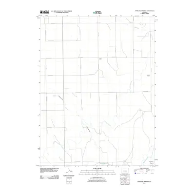
2010 Map of Antelope Springs
USGS Topo · Published 2010About this map
Union and its surrounding agricultural landscape in northeastern Colorado appear here in a network of irrigation systems and rural educational landmarks. The survival of named rural schoolhouses, including Gilliland School, Brammer School, and Union School, provides a spatial record of the region’s historical approach to rural education. The landscape is defined by its water management, featuring the massive Riverside Intake Canal and the North Sterling Canal, which support farming across this high plains terrain. Local topography is carved by significant drainage features like Antelope Draw and L F Draw, while Antelope Springs and the Headley Reservoir represent critical water points in an otherwise arid environment. This grid-based layout of county roads, such as County Road AA and County Road II, illustrates the rigid township and range system that organized the Eastern Plains for settlement and large-scale agriculture during the twentieth century.
Find a feature on this map
27 named features on this map. Tap any name to fly to it.
Don’t see what you’re looking for? This feature index may not catch every label — zoom into the map to look around manually.
Map Details
Editions of this 2010 Antelope Springs Map
This is the sole edition of this map. No revisions or reprints were ever made.
Other maps of this area

1951 · Dead Horse Springs
USGS Topo · 1:24,000

1951 · Willard
USGS Topo · 1:24,000

1951 · Messex
USGS Topo · 1:24,000

1951 · Brush West
USGS Topo · 1:24,000

1951 · Antelope Springs
USGS Topo · 1:24,000

1951 · Merino SW
USGS Topo · 1:24,000

1951 · Brush East
USGS Topo · 1:24,000

1954 · Sterling
USGS Topo · 1:250,000

1958 · Sterling
USGS Topo · 1:250,000

1971 · Brush East
USGS Topo · 1:24,000