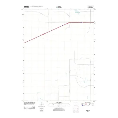
2010 Map of Omar
USGS Topo · Published 2010About this map
Empire Reservoir anchors the northern reaches of this landscape, a critical water resource in this arid section of Weld County. The terrain is defined by a grid of rural thoroughfares, including County Rd-38 and County Road R, which cross a network of seasonal watercourses. These drainages, such as Kiowa Creek and Jack Rabbit Creek, meander across the plains, shaping the local topography and influencing the placement of smaller impoundments like West Nile Reservoir. The presence of Rock Creek and various county routes like County Hwy-91 highlights a region primarily organized around agricultural water management and a structured road system that facilitates travel through the open ranchland and farm country typical of the High Plains.
Find a feature on this map
18 named features on this map. Tap any name to fly to it.
Don’t see what you’re looking for? This feature index may not catch every label — zoom into the map to look around manually.
Map Details
Editions of this 2010 Omar Map
This is the sole edition of this map. No revisions or reprints were ever made.
Other maps of this area

1950 · Wiggins
USGS Topo · 1:24,000

1950 · South Roggen
USGS Topo · 1:24,000

1950 · Wiggins SW
USGS Topo · 1:24,000

1950 · Masters
USGS Topo · 1:24,000

1950 · Hoyt
USGS Topo · 1:24,000

1951 · Hoyt
USGS Topo · 1:24,000

1951 · Masters
USGS Topo · 1:24,000

1951 · Orchard
USGS Topo · 1:24,000

1951 · Roggen
USGS Topo · 1:24,000

1951 · Omar
USGS Topo · 1:24,000