1960s Maps of Pueblo County, Colorado
Explore 35 historic maps of Pueblo County from the 1960s. These maps offer a rare glimpse into what life looked like during the 1960s — showing old roads, neighborhoods, homes, and landmarks that have changed or disappeared over time.
Whether you're researching your family's past, planning a metal detecting trip, or studying how Pueblo County's landscape evolved across the 1960s, these high-resolution maps are a powerful tool for exploring the history of this region.
- Focus on a specific era: All maps on this page are from the 1960s, giving you a focused view of this time period.
- See what’s changed: Compare century-old streets, trails, and buildings to today's modern landscape using overlays and satellite layers.
- Research with precision: Use these maps for genealogy, historical research, land use analysis, or educational projects.
- View, download, or print: Maps are fully viewable online in high resolution, and can be downloaded or printed for your own records.
Start exploring Pueblo County's history through authentic maps from the 1960s. This is your window into the past.
Pueblo County, CO maps
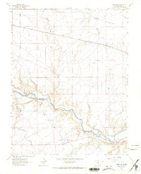
(35)- 1960 Map of Nepesta, 1961 Print
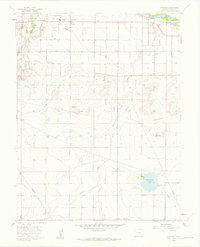
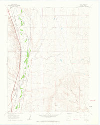
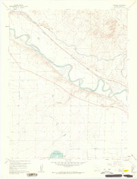 1960 Nepesta1961 Print · USGSThe Arkansas River valley comes alive in the early sixties as a hub of rail lines and complex irrigation. Genealogists and historians can trace the tracks of the Missouri Pacific or locate the Rodeo Ground and the settlement of Nepesta.4 unique versions available
 - 1960 Map of Fowler, 1961 Print
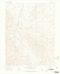
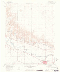 1960 Fowler1961 Print · USGSIn the Arkansas River valley during the early sixties, the local economy relied heavily on a sophisticated network of canals and competing rail lines. Researchers can trace the layout of Fowler and the settlement at Hamlet, or locate industrial sites like the Gravel Pits and the Rocky Ford Highline Canal.3 unique versions available
 - 1960 Map of Boone Hill, 1962 Print
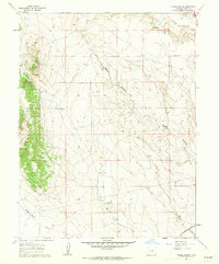
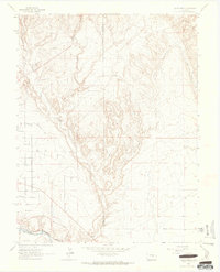
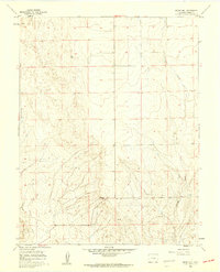 1960 Boone Hill1962 Print · USGSPueblo County terrain in the early sixties is dominated by open ranch land and ephemeral watercourses. Map collectors and local historians can trace the paths of Kramer Creek and Haynes Creek or locate high-ground markers like Boone Hill and Wright VABM 4958.2 unique versions available
 - 1960 Map of Grandview School SE, 1962 Print
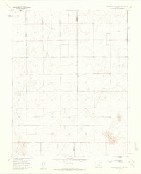 1960 Grandview School SE1962 Print · USGSThe Colorado high plains of the early sixties are defined by open range and the straight boundary line between Pueblo and Crowley counties. Researchers can trace the original section-line road network and locate distinctive natural features like Big Sand Hole.2 unique versions available
 - 1960 Map of Vineland, 1962 Print
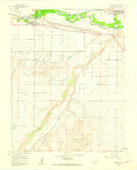
 1960 Vineland1962 Print · USGSSoutheastern Colorado agricultural life is documented here during the early sixties, showing a landscape defined by irrigation and rural schools. Genealogists can trace family footprints near Vineland, Lakeside Sch, and the winding Bessemer Ditch.2 unique versions available
 - 1960 Map of Avondale, 1962 Print
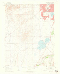
 1960 Avondale1962 Print · USGSPueblo County's agricultural heartland is captured here in the early sixties, showing the vital irrigation network around Avondale and Boone. Genealogists and historians can trace the local landscape through the San Jose Ch, the historic grounds of Fort Reynolds, and the winding Huerfano River.4 unique versions available
 - 1960 Map of Bar J H Ranch, 1962 Print
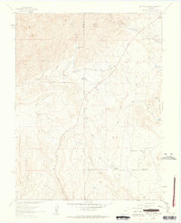
 1960 Bar J H Ranch1962 Print · USGSEastern Pueblo County ranch lands are captured here in the early sixties, showing a landscape shaped by seasonal watercourses. Genealogists and land historians can locate the Bar J H Ranch and May Ranch among the drainages of Chico Creek.
 - 1960 Map of North Avondale, 1963 Print
 1960 North Avondale1963 Print · USGSEastern Pueblo County at the start of the sixties is defined by the massive Pueblo Ordnance Depot and the bustling rail lines south of the river. Researchers can trace the layout of the depot's bunkers or locate local landmarks like North Avondale, Boone, and the Excelsior Sch.5 unique versions available
 - 1960 Map of Pinon, 1963 Print
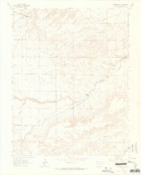
 1960 Pinon1963 Print · USGSRailroad development and irrigation systems define this Pueblo County landscape during the early 1960s. Researchers can trace the dual rail lines serving Piñon and Bragdon or follow the historic water routes of the Eder Ditch and Greenville Ditch.3 unique versions available
 - 1960 Map of Devine, 1963 Print
 1960 Devine1963 Print · USGSThe Pueblo County desert meets the industrial rail corridor of the early 1960s, centered on the Arkansas River. Researchers can trace old railway alignments through Baxter and Devine or locate the sprawling grounds of the Pueblo Ordnance Depot.5 unique versions available
 - 1960 Map of Southeast Pueblo, 1963 Print
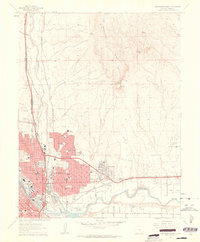
 1960 Southeast Pueblo1963 Print · USGSSoutheastern Pueblo is shown during a period of significant suburban and industrial growth in the early sixties. Researchers can trace the rail lines of the D & R G W or locate specific landmarks like Roselawn Cemetery and the community of Lombard Village.6 unique versions available
 - 1960 Map of North Avondale NE, 1972 Print
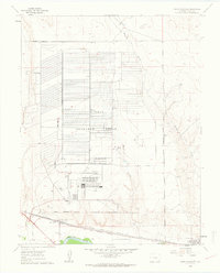
 1960 North Avondale NE1972 Print · USGSPueblo County's high plains are shown during a period of federal infrastructure growth in the 1970s. Researchers can trace the layout of the High Speed Ground Test Center or locate water sources like Black Squirrel Cr and a seasonal Spring.
 - 1961 Map of Steele Hollow, 1962 Print
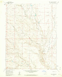
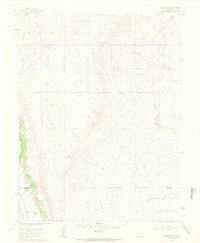
 1961 Steele Hollow1962 Print · USGSThe high plains of Pueblo County are captured here in the early sixties, showing a landscape defined by ranching and rail infrastructure. Researchers can trace the path of the Atchison Topeka And Santa Fe railroad and locate mid-century landmarks like the Radio Tower and Steele Hollow.4 unique versions available
 - 1961 Map of Northwest Pueblo, 1962 Print
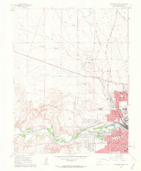 1961 Northwest Pueblo1962 Print · USGSPueblo and its western outskirts are captured here in the early sixties as the city expanded along the river. Genealogists and local historians can trace the neighborhood footprints of Goodnight, the grounds of the State Fairground, and numerous local schools like Morton Sch.11 unique versions available
 - 1961 Map of Buttes, 1963 Print
 1961 Buttes1963 Print · USGSEl Paso County ranch land and military infrastructure meet along the Fountain Creek corridor in the early sixties. Genealogists and rail historians can trace the twin paths of the Atchison Topeka and Santa Fe Railway and the Denver and Rio Grande Western Railroad past the Wigwam Sch and Midway Ranch.8 unique versions available
 - 1961 Map of Southwest Pueblo, 1963 Print
 1961 Southwest Pueblo1963 Print · USGSThe southwestern edge of Pueblo is captured here during the early sixties as suburban neighborhoods pushed into the high plains. Local historians can trace the foundations of the community through the State Fairgrounds, the Mountain View Cemetery, and the Old Railroad Grade.7 unique versions available
 - 1961 Map of Northeast Pueblo, 1963 Print
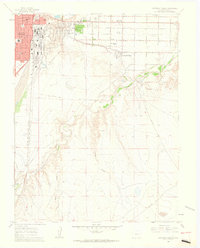
 1961 Northeast Pueblo1963 Print · USGSPueblo was entering a decade of significant growth when this survey recorded its shifting industrial and residential borders. Trace the city's mid-century expansion through names like Belmont, Fearnowville, and the grounds of the Pueblo Memorial Airport.7 unique versions available
 - 1961 Map of Fountain SE, 1963 Print
 1961 Fountain SE1963 Print · USGSThe ranching plains of El Paso and Pueblo counties are captured here in the early sixties, showing a landscape defined by water and rail. Genealogists can locate family holdings like Totten Ranch and Hammer Ranch along the path of the Denver and Rio Grande Western railroad.4 unique versions available
 - 1961 Map of Timber Mountain, 1963 Print
 1961 Timber Mountain1963 Print · USGSThe foothills south of Colorado Springs appear in the early sixties as a mix of military training grounds and isolated ranching outposts. Genealogists and historians can trace family locations like Earley Ranch, Avery Ranch, and the rural Lytle Sch.6 unique versions available
 - 1961 Map of Mount Pittsburg, 1963 Print
 1961 Mount Pittsburg1963 Print · USGSThe high ranch lands of Fremont and El Paso counties are captured here in the early sixties, showing a landscape of remote mountain holdings and steep canyons. Genealogists and local historians can trace legacy properties like Foote Mountaindale Ranch or locate the old Quarries and the Landing Strip near Turkey Creek.8 unique versions available
 - 1962 Map of Pueblo
 1962 Pueblo1962 Print · USGSThe Front Range and high plains meet in the early sixties as military installations and industrial mining shape the corridor from Colorado Springs to Pueblo. Genealogists can trace family names through rural landmarks like the Columbine School, Hanover Church, and Fairview Cem.
 - 1963 Map of Muldoon Hill, 1965 Print
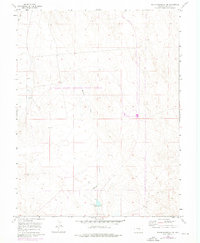
 1963 Muldoon Hill1965 Print · USGSPueblo County's ranching and mining heartland is captured here in the early 1960s, showing a network of rural routes and water systems. Researchers can trace historic land use through features like the mines near Muldoon Hill and the settlement at Burnt Mill.
 - 1963 Map of Swallows, 1965 Print
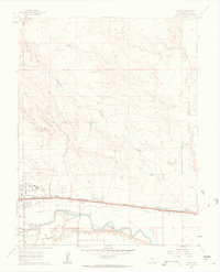
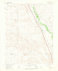
 1963 Swallows1965 Print · USGSPueblo County's river valley was defined by vital water and rail infrastructure during the early sixties. Researchers can trace the Denver and Rio Grande Western railroad through Swallows or locate the Arkansas Valley Conduit and Livesey.6 unique versions available
 - 1963 Map of Wetmore, 1965 Print
 1963 Wetmore1965 Print · USGSCuster and Pueblo counties appear here in the early 1960s, showing the intersection of local ranching life and national forest land. Researchers can trace the water-carved landscape of Hardscrabble Creek and locate historic sites like Wetmore, Greenwood, and the Don K Ranch.3 unique versions available
 - 1963 Map of Pierce Gulch, 1965 Print
 1963 Pierce Gulch1965 Print · USGSFremont and Pueblo counties in the early sixties are defined by the convergence of mountain drainages and vital rail lines. Genealogists and researchers can trace the path of the Denver and Rio Grande Western railroad as it follows the Arkansas River near Booth Mountain.6 unique versions available
Showing maps 1-25 of 35
Top cities of Pueblo County
- Pueblo historical maps
- Pueblo West historical maps
- Colorado City historical maps
- Blende historical maps
- Avondale historical maps
- Salt Creek historical maps
See more
Frequently asked questions
- What are the different types of historical maps available for Pueblo County?
- What is the oldest map of Pueblo County?
- Where can I purchase historical maps of Pueblo County for my home or office?
- Where can I download high-res historical maps of Pueblo County?
- Are there historical topographic maps available for Pueblo County?
- Is there historical aerial imagery available for Pueblo County?
- Where are historical maps of Pueblo County sourced from?