2020s Maps of Pueblo County, Colorado
Explore 58 historic maps of Pueblo County from the 2020s. These maps offer a rare glimpse into what life looked like during the 2020s — showing old roads, neighborhoods, homes, and landmarks that have changed or disappeared over time.
Whether you're researching your family's past, planning a metal detecting trip, or studying how Pueblo County's landscape evolved across the 2020s, these high-resolution maps are a powerful tool for exploring the history of this region.
- Focus on a specific era: All maps on this page are from the 2020s, giving you a focused view of this time period.
- See what’s changed: Compare century-old streets, trails, and buildings to today's modern landscape using overlays and satellite layers.
- Research with precision: Use these maps for genealogy, historical research, land use analysis, or educational projects.
- View, download, or print: Maps are fully viewable online in high resolution, and can be downloaded or printed for your own records.
Start exploring Pueblo County's history through authentic maps from the 2020s. This is your window into the past.
Pueblo County, CO maps
(58)- 2022 Map of Hog Ranch Canyon, 2022 Print
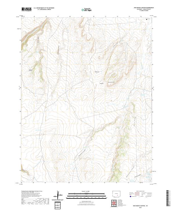 2022 Hog Ranch Canyon2022 Print · USGSSouthern Colorado ranching country is documented here in the early twenty-first century, showing a landscape shaped by seasonal arroyos and canyons. Genealogists and historians can locate the Finn Cem and trace livestock-era landmarks like Karrick Pocket and Hog Ranch Canyon.
 - 2022 Map of Sanford Hills, 2022 Print
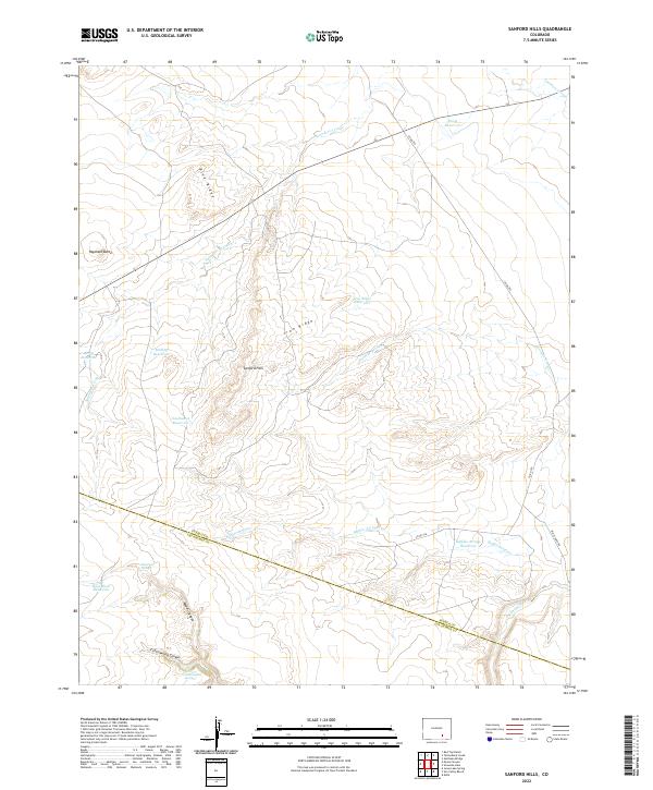 2022 Sanford Hills2022 Print · USGSSanford Hills and the high plains of the Pueblo-Las Animas county line are shown here in the early 2020s. Researchers can trace the vital network of ranching water sources such as Davis Reservoir and Lily Pond Spring, or follow the deep cuts of Woods Canyon down to the Apishapa River.
 - 2022 Map of Rye, 2022 Print
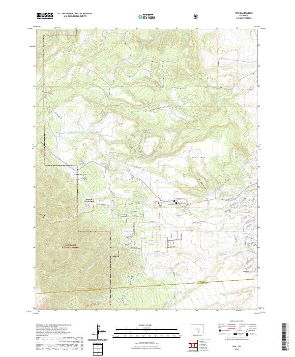 2022 Rye2022 Print · USGSThe foothills of the Wet Mountains come into focus in this recent survey of the area around Rye. Genealogists and local historians can trace burial sites at Mount Olivet Cem and Brookside Cem or explore the boundaries of the San Isabel National Forest.
 - 2022 Map of Myers Canyon, 2022 Print
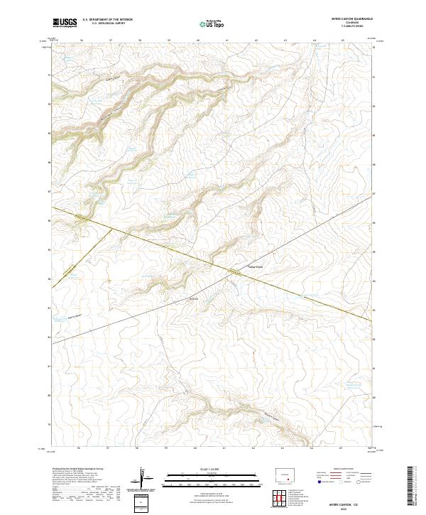 2022 Myers Canyon2022 Print · USGSThe high plains south of Pueblo meet at a unique tri-county junction where ranching and water management define the landscape. Researchers can trace land boundaries and water rights through a network of catchments like Federal Reservoir and natural sources such as Oscar Spring or Cedar Crest.
 - 2022 Map of Colorado City, 2022 Print
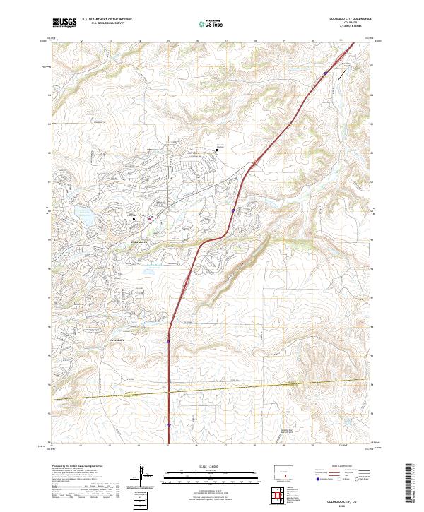 2022 Colorado City2022 Print · USGSThe growing Colorado high plains settlements of Colorado City and Greenhorn are captured here in the early 2020s. Genealogists can trace local roots at the Hicklin Family Cem or find landmarks like the Vigil Ch and Greenhorn School.
 - 2022 Map of Delhi, 2022 Print
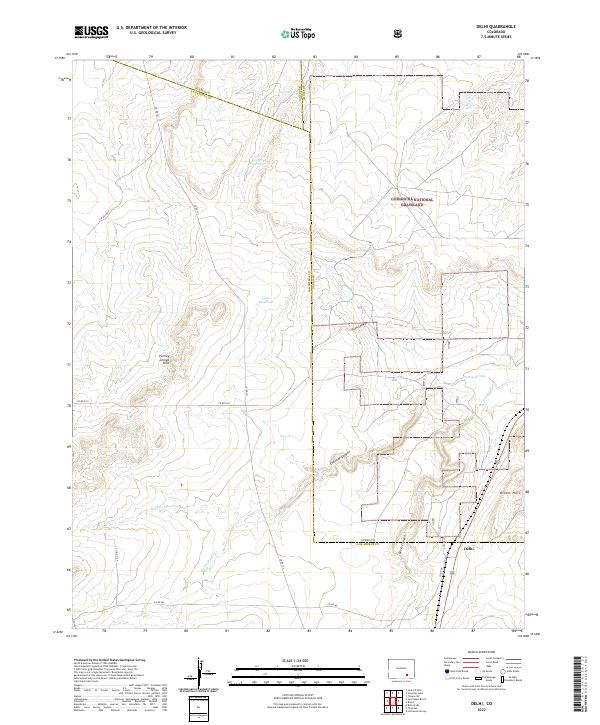 2022 Delhi2022 Print · USGSSoutheastern Colorado's high plains come into focus in the early 2020s, centered on the small community of Delhi. Genealogists and historians can trace the rural landscape across county lines, locating landmarks like Lyons Reservoir, Hixon Spring, and the Bloom Hills.
 - 2022 Map of Cedarwood, 2022 Print
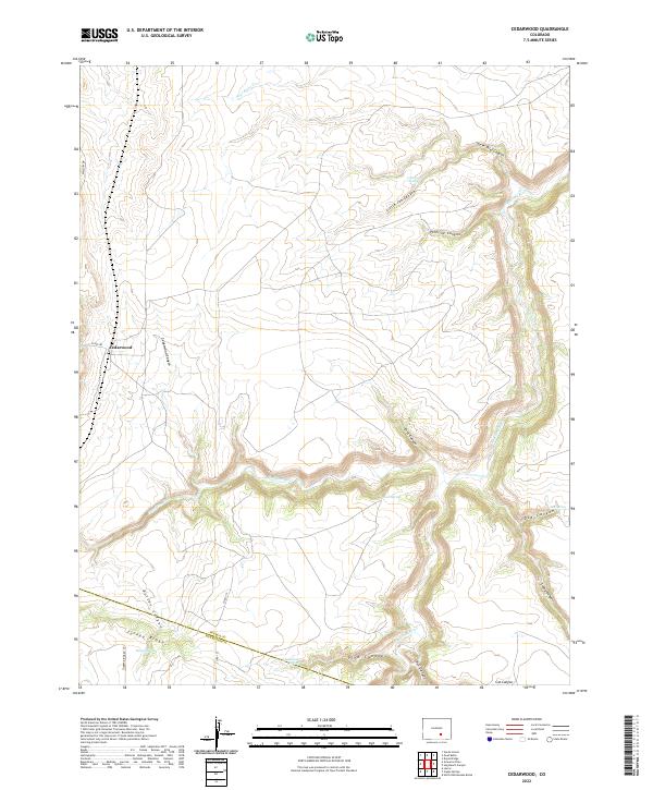 2022 Cedarwood2022 Print · USGSThe high plains of southern Colorado meet at the Pueblo and Huerfano county line in the early 2020s. Genealogists and land researchers can trace the drainage of the Huerfano River and find isolated landmarks like Cedarwood and Bustos Spring.
 - 2022 Map of San Isabel, 2022 Print
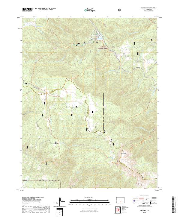 2022 San Isabel2022 Print · USGSCuster County's mountain interior and the village of San Isabel are shown in detail as they appeared in 2022. Local researchers can trace family-named pathways like Cisneros Trl and Bartlett Trl or locate remote landmarks including Rooster Spring and Marion Lake.
 - 2022 Map of Apishapa Bridge, 2022 Print
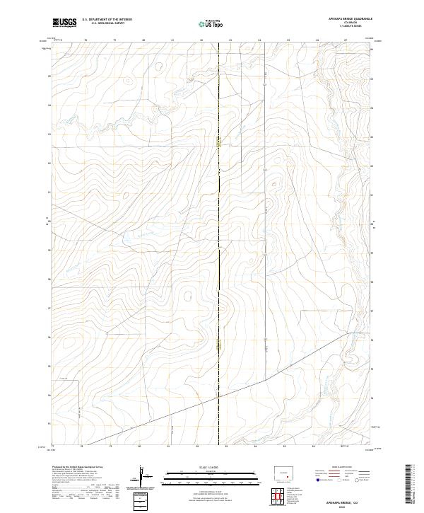 2022 Apishapa Bridge2022 Print · USGSSoutheast Colorado ranching country is documented here in the early twenty-first century along the Pueblo and Otero county line. Local historians can trace the drainage patterns of the Apishapa River and search for old routes along Whiterock Rd.
 - 2022 Map of North Rattlesnake Butte, 2022 Print
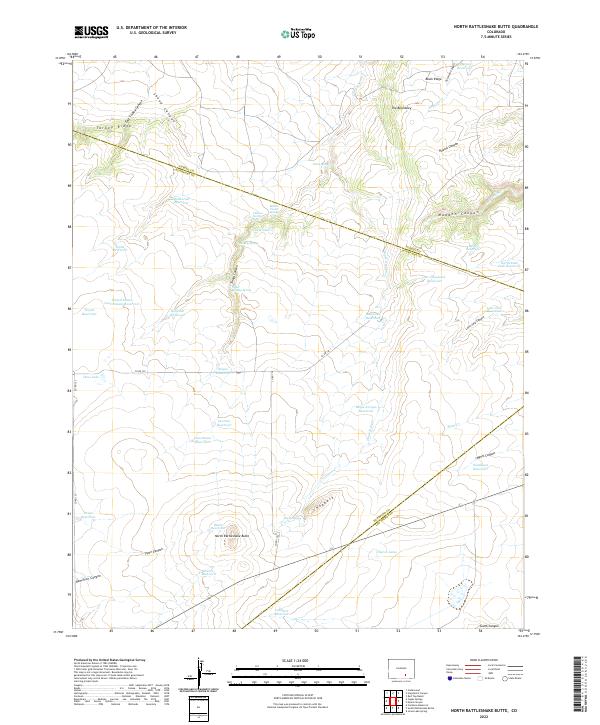 2022 North Rattlesnake Butte2022 Print · USGSSouthern Colorado ranching country is mapped here at the intersection of three counties. Modern researchers can trace water rights and land use through dozens of named catchments like Machatten Reservoir and distinct landmarks like North Rattlesnake Butte.
 - 2022 Map of Capps Springs, 2022 Print
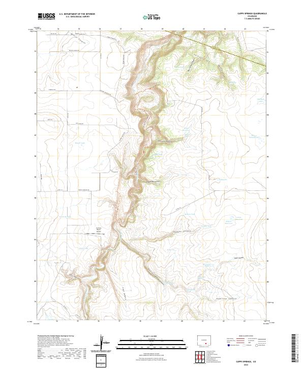 2022 Capps Springs2022 Print · USGSHuerfano County ranchlands are captured here in the early 2020s, centered on the deep incision of the Cucharas River. Researchers can locate remote landmarks like the Cuchara Ranch Airport and various water improvements including Wyatt Reservoir and Capps Springs.
 - 2022 Map of Graneros Flats, 2022 Print
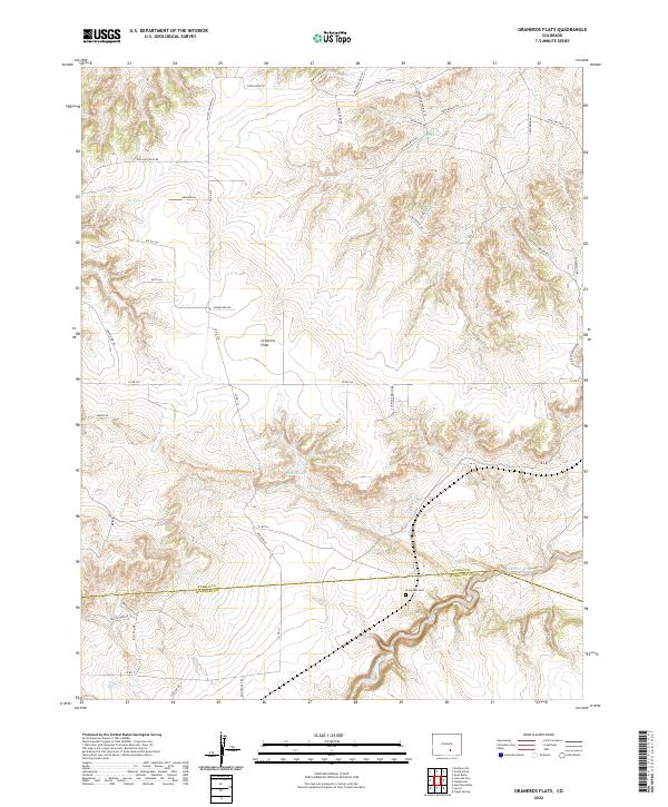 2022 Graneros Flats2022 Print · USGSThe Pueblo and Huerfano county line meets at the Huerfano River during the early twenty-first century. Genealogists and local researchers can trace the Evergreen Cem and remote water sources like Sheep Spring and Mills Arroyo.
 - 2022 Map of Yellowbank Creek, 2022 Print
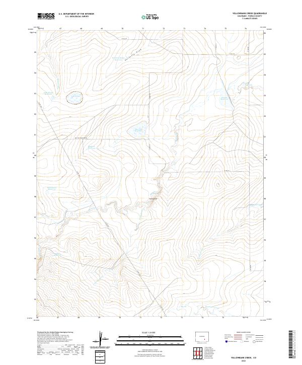 2022 Yellowbank Creek2022 Print · USGSPueblo County's high plains are revealed in this study of mid-century ranching and water infrastructure. Researchers can trace land use through livestock-focused landmarks like Schoolhouse Reservoir, Bull Pasture Reservoir, and the remote junction at Yellowbank.
 - 2022 Map of Red Top Ranch, 2022 Print
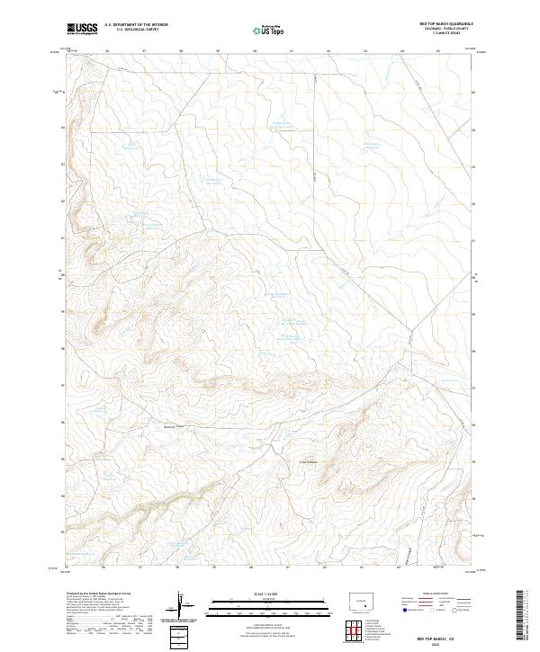 2022 Red Top Ranch2022 Print · USGSPueblo County's ranching landscape is captured in the early twenty-first century, showing a territory defined by remote water catchments and rugged canyons. Researchers can trace land management patterns through named sites like Peck Spring, Cone Pinnacle, and McElhaney Canyon.
 - 2022 Map of Beulah NE, 2022 Print
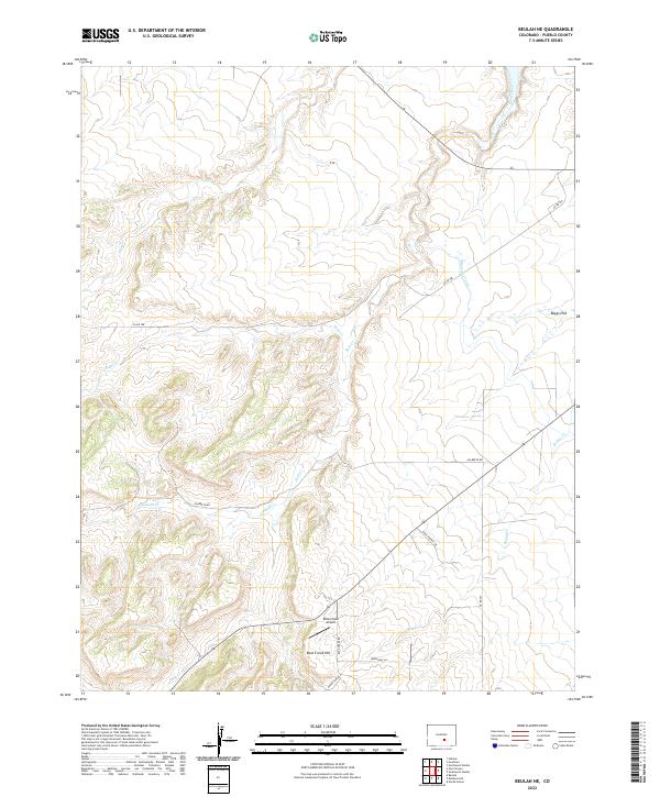 2022 Beulah NE2022 Print · USGSPueblo County's high-desert landscape comes into sharp focus during the early 2020s, showcasing a mix of aviation and water infrastructure. Researchers can trace the path of the Minnequa Canal or locate Rock Creek Airport near Boggs Flat.
 - 2022 Map of Chicos Well, 2022 Print
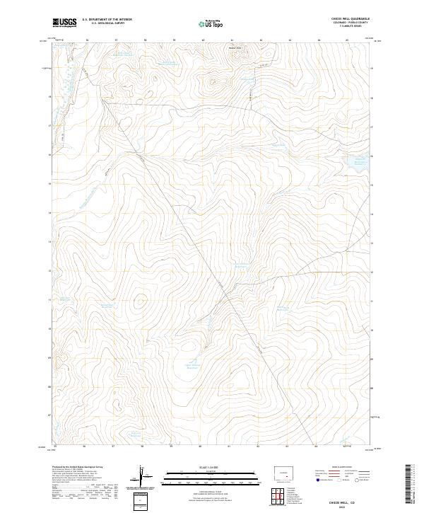 2022 Chicos Well2022 Print · USGSPueblo County's arid plains are defined by an intricate irrigation network in the 2020s. Researchers can trace historic water rights and land use via the Nepesta Farmers Ditch and family-named landmarks like McClain Reservoir and Hooker Hills.
 - 2022 Map of Highlands Church, 2022 Print
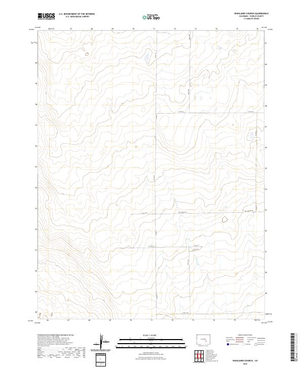 2022 Highlands Church2022 Print · USGSEastern Pueblo County ranching lands and high plains are documented here in the early twenty-first century. Researchers can trace land divisions and local rural routes like Mrs Wright Rd, Hodges Rd, and the path of Kramer Cr.
 - 2022 Map of Edison School, 2022 Print
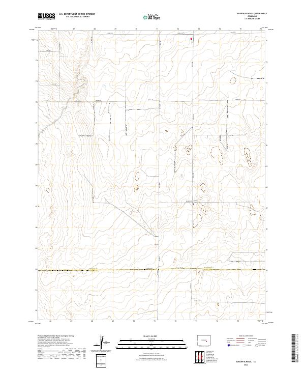 2022 Edison School2022 Print · USGSEl Paso and Pueblo counties meet on the Colorado high plains in this recent survey of a landscape defined by ranching roads and remote community hubs. Genealogists and local historians can trace family-named landmarks and historical sites like the Leader Church and Leader Cem near Edison Rd.
 - 2022 Map of Buttes, 2022 Print
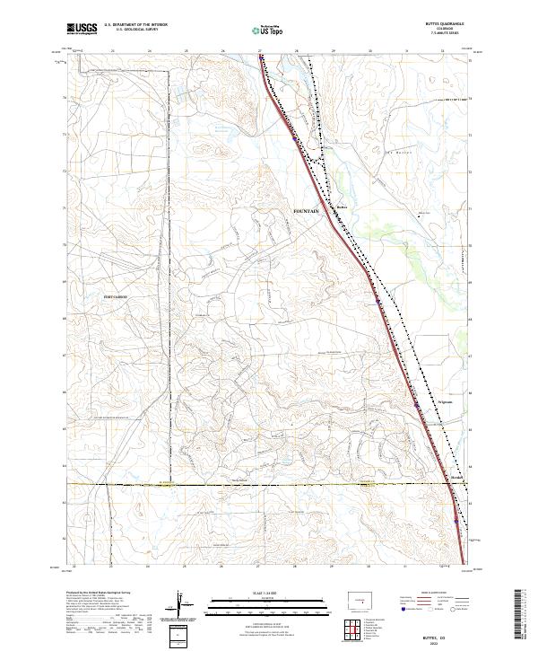 2022 Buttes2022 Print · USGSThe corridor between El Paso and Pueblo counties is shown here in the 2020s, dominated by the valley of Fountain Creek. Trace family history at Wilson Cem or locate the early rail-stop sites of Buttes and Wigwam.
 - 2022 Map of Hardesty Reservoir, 2022 Print
 2022 Hardesty Reservoir2022 Print · USGSThe Pueblo and Otero county line comes alive in the early twenty-first century, showcasing a landscape shaped by the Apishapa River and vital irrigation works. Researchers can trace the paths of the Oxford Farmers Ditch, find Fowler Airport, and locate Hungerford Lake.
 - 2022 Map of Beulah, 2022 Print
 2022 Beulah2022 Print · USGSThe foothills of the Sangre de Cristo range come alive in this contemporary view of the communities west of Pueblo. Genealogists and historians can trace the residents of Beulah and Valley View or locate the Beulah Cem near the banks of the Saint Charles River.
 - 2022 Map of Pierce Gulch, 2022 Print
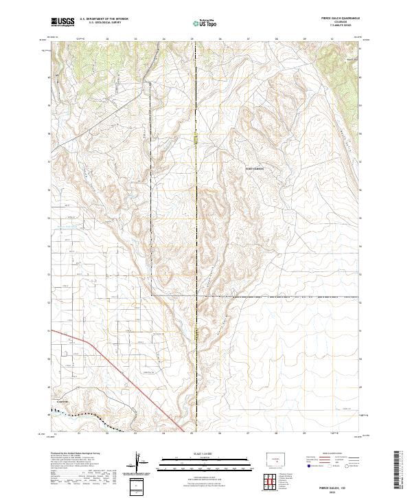 2022 Pierce Gulch2022 Print · USGSFremont County settlement and drainage patterns appear in detail in this modern survey of the high desert and river valley. Genealogists and historians can trace the road network around Concrete or locate water features like Beaver Park Ditch and Pierce Gulch.
 - 2022 Map of Southwest Pueblo, 2022 Print
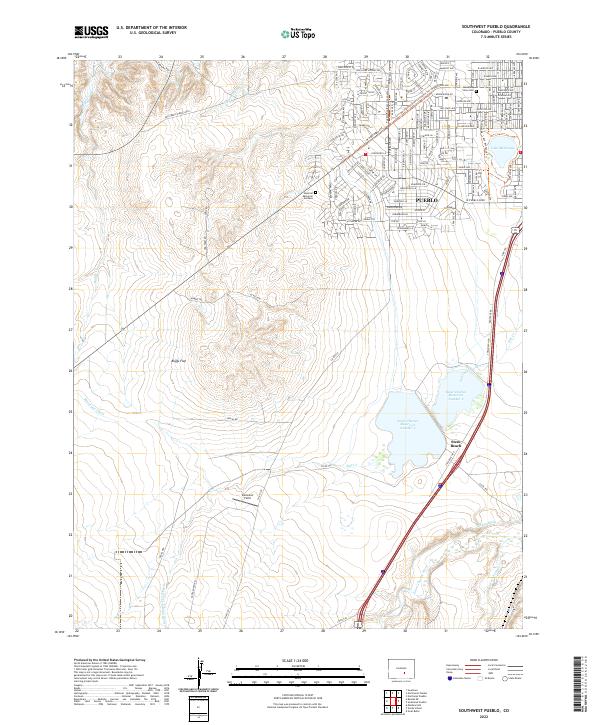 2022 Southwest Pueblo2022 Print · USGSSouthern Pueblo and the surrounding plains are captured in this recent survey as the city meets the open reaches of Boggs Flat. Researchers can trace local landmarks and water systems from Lake Minnequa to the southern settlement of Stem Beach.
 - 2022 Map of Owl Canyon, 2022 Print
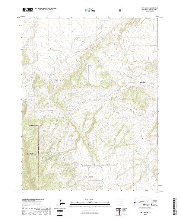 2022 Owl Canyon2022 Print · USGSPueblo County's high plains and forest fringes are captured here in the early twenty-first century as ranching roots meet modern settlement. Trace the drainages of Peck Cr and Soda Cr or locate the historic context of Bronquist and Owl Canyon.
 - 2022 Map of Northwest Pueblo, 2022 Print
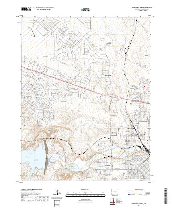 2022 Northwest Pueblo2022 Print · USGSThe northwestern expansion of Pueblo in the early 2020s highlights the critical relationship between the urban landscape and the Arkansas River. Researchers can trace modern water infrastructure like the Pueblo Reservoir alongside institutions like Pueblo Community College.
Showing maps 1-25 of 58
Top cities of Pueblo County
- Pueblo historical maps
- Pueblo West historical maps
- Colorado City historical maps
- Blende historical maps
- Avondale historical maps
- Salt Creek historical maps
See more
Frequently asked questions
- What are the different types of historical maps available for Pueblo County?
- What is the oldest map of Pueblo County?
- Where can I purchase historical maps of Pueblo County for my home or office?
- Where can I download high-res historical maps of Pueblo County?
- Are there historical topographic maps available for Pueblo County?
- Is there historical aerial imagery available for Pueblo County?
- Where are historical maps of Pueblo County sourced from?