Old Maps of Cripple Creek, Colorado for Hiking & Exploration
Hike through history with 23 historic maps of Cripple Creek. Explore old trails, ghost towns, and forgotten backroads — perfect for outdoor adventurers and local explorers.
- Rediscover forgotten places: Map out old mining camps, roads, and footpaths that no longer exist on modern maps.
- Layer with modern tools: Combine with LiDAR or satellite views to plan hikes through historical terrain.
- Made for exploration: Popular among hikers, overlanders, and local history lovers.
Use these maps to find adventure and explore the hidden past of Cripple Creek.
Cripple Creek, CO maps
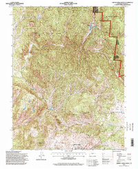
(23)- 1894 Map of Pikes Peak
 1894 Pikes Peak1894 Print · USGSThe Cripple Creek mining district is in its golden prime in the 1890s, caught here just as the mountain rail network was expanding. Researchers can trace early mining camps like Barry and Alnwick or locate the original path of the Colorado Midland Railroad through Florissant.2 unique versions available
 - 1901 Map of Pikes Peak
 1901 Pikes Peak1901 Print · USGSThe Cripple Creek mining district is in its golden age on this turn-of-the-century sheet. Genealogists and historians can trace the rail lines and mountain camps that defined the rush, from Victor and Goldfield to the Fossil Beds at Florissant.6 unique versions available
 - 1901 Map of Pikes Peak, 1909 Print
 1901 Pikes Peak1909 Print · USGSThe mining district of Teller County is shown at its height, as rail lines threaded through high-altitude gold camps. Genealogists can trace family roots in Cripple Creek, Independence, and Altman or locate the historic Fossil Beds near Florissant.
 - 1951 Map of Cripple Creek South, 1954 Print
 1951 Cripple Creek South1954 Print · USGSThe Cripple Creek mining district shows its mid-century industrial footprint in this 1950s survey. Researchers can trace the extensive network of mines and shafts like the Cresson Mine and Elkton Mine, or locate family sites in Victor and Altman.9 unique versions available
 - 1951 Map of Cripple Creek North, 1954 Print
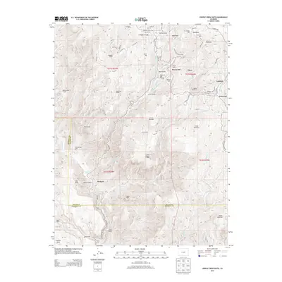
 1951 Cripple Creek North1954 Print · USGSCripple Creek and the high gold-mining country of Teller County are shown here in the early fifties. You can locate family history at Mt Pisgah Cem, trace the legacy of the Mollie Kathleen Mine, and see early recreation at Tenderfoot Ski Area.9 unique versions available
 - 1954 Map of Pueblo, 1966 Print
 1954 Pueblo1966 Print · USGSMid-century Colorado comes alive in this survey of the Front Range and the high plains as the region expanded after the war. Genealogists and historians can trace family roots through rural landmarks like Hanover Church, Pioneer Cemetery, and the Grandview School.3 unique versions available
 - 1957 Map of Pueblo
 1957 Pueblo1957 Print · USGSMid-century Colorado comes alive as the Front Range urban centers expand alongside massive Cold War military installations. Genealogists and historians can trace the foundations of Stone City, rural sites like Hanover School, and the industrial Canon Imperial Mine.
 - 1958 Map of Pueblo
 1958 Pueblo1958 Print · USGSColorado's Front Range and Arkansas River Valley come alive in the late fifties, showing the transition from historic mining districts to major military and rail hubs. Genealogists and historians can trace family roots in ranching communities and find landmarks like Cripple Creek, Manitou, and the Hanover School.
 - 1962 Map of Pueblo
 1962 Pueblo1962 Print · USGSThe Front Range and high plains meet in the early sixties as military installations and industrial mining shape the corridor from Colorado Springs to Pueblo. Genealogists can trace family names through rural landmarks like the Columbine School, Hanover Church, and Fairview Cem.
 - 1966 Map of Pueblo
 1966 Pueblo1966 Print · USGSThe Front Range and Arkansas River Valley are captured here in the mid-1960s, showing a landscape shaped by mining, military expansion, and rail. Researchers can locate numerous country schools and mines, such as the Lytle School, Pioneer Cem, and Empire Zinc Mine.
 - 1983 Map of Pikes Peak
 1983 Pikes Peak1983 Print · USGSIn the early eighties, the high-altitude mining districts of Teller County remained deeply etched into the mountain landscape. Researchers can trace the legacy of the Gold Belt through sites like the Stratton Mine and vanished rail stops near Cripple Creek or Altman.
 - 1989 Map of Pueblo
 1989 Pueblo1989 Print · USGSIn the late eighties, the Colorado Front Range balanced its deep mining history with massive military expansion and water development. Researchers can trace the rail lines of the AT & SF RR or locate remote high-altitude settlements like Rosita and Querida.
 - 1994 Map of Cripple Creek North, 1998 Print
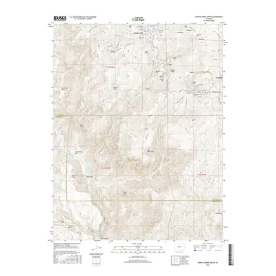
 1994 Cripple Creek North1998 Print · USGSCripple Creek was transitioning from its historic mining roots to a hub for conservation and tourism by the mid-1990s. Researchers can locate dozens of old mining Prospect sites, the Mollie Kathleen Mine, and the Mount Pisgah Cem.
 - 2010 Map of Cripple Creek South, 2010 Print
 2010 Cripple Creek South2010 Print · USGSCovers Cripple Creek, including Victor, Elkton, and other nearby areas
 - 2011 Map of Cripple Creek North, 2011 Print
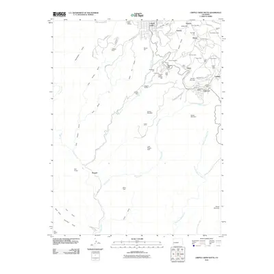
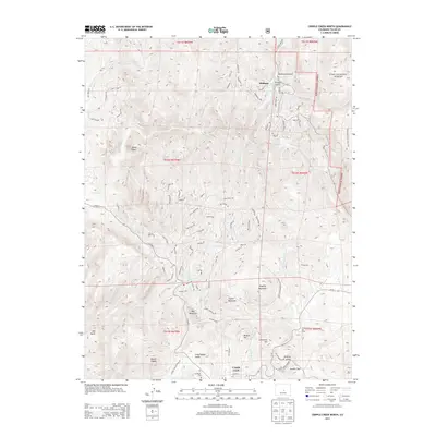
 2011 Cripple Creek North2011 Print · USGSCovers Cripple Creek, including Midland, Teller County, and other nearby areas
 - 2013 Map of Cripple Creek South, 2013 Print
 2013 Cripple Creek South2013 Print · USGSCovers Cripple Creek, including Victor, Elkton, and other nearby areas
 - 2013 Map of Cripple Creek North, 2013 Print
 2013 Cripple Creek North2013 Print · USGSCovers Cripple Creek, including Midland, Teller County, and other nearby areas
 - 2016 Map of Cripple Creek South, 2016 Print
 2016 Cripple Creek South2016 Print · USGSCovers Cripple Creek, including Victor, Elkton, and other nearby areas
 - 2016 Map of Cripple Creek North, 2016 Print
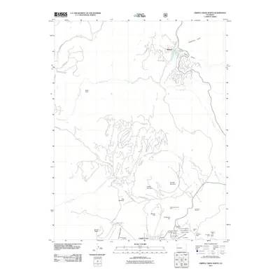
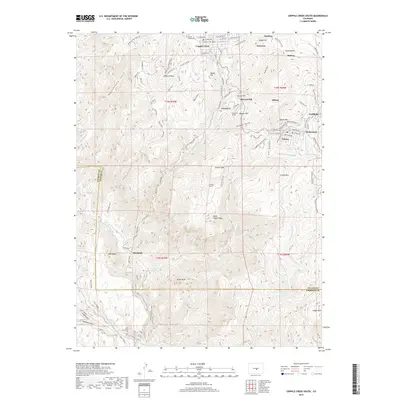
 2016 Cripple Creek North2016 Print · USGSCovers Cripple Creek, including Midland, Teller County, and other nearby areas
 - 2019 Map of Cripple Creek South, 2019 Print
 2019 Cripple Creek South2019 Print · USGSCovers Cripple Creek, including Victor, Elkton, and other nearby areas
 - 2019 Map of Cripple Creek North, 2019 Print
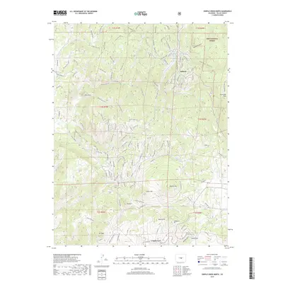 2019 Cripple Creek North2019 Print · USGSCovers Cripple Creek, including Midland, Teller County, and other nearby areas
 - 2022 Map of Cripple Creek North, 2022 Print
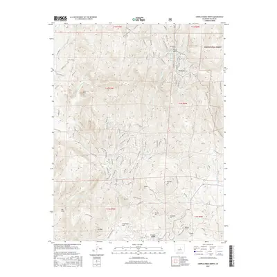
 2022 Cripple Creek North2022 Print · USGSThe northern Cripple Creek mining district is documented here in the early twenty-first century, showing the intersection of high mountain peaks and historic gulches. Researchers can locate named sites like Poverty Gulch, Mineral Hill, and the settlement of Midland among the steep slopes.
 - 2023 Map of Cripple Creek South, 2023 Print
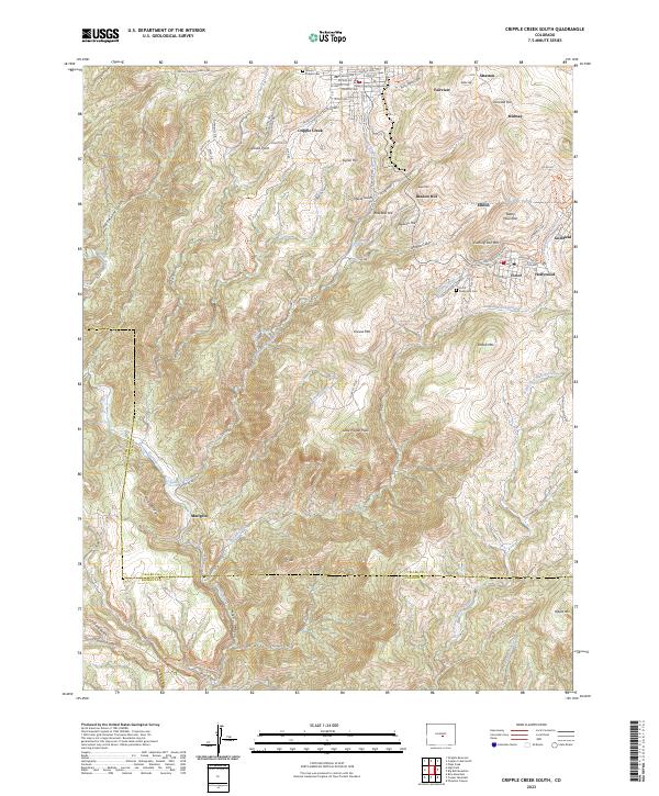 2023 Cripple Creek South2023 Print · USGSThe Cripple Creek mining district and its surrounding peaks are captured here in the early twenty-first century. Genealogists and historians can trace the urban layouts of Cripple Creek and Victor, or locate family sites at Mount Pisgah Cem and Victor Sunnyside Cem.
End of results
Showing maps 1-23 of 23
Top cities near Cripple Creek
- Woodland Park historical maps
- Green Mountain Falls historical maps
- Victor historical maps
- Divide historical maps
Frequently asked questions
- What are the different types of historical maps available for Cripple Creek?
- What is the oldest map of Cripple Creek?
- Where can I purchase historical maps of Cripple Creek for my home or office?
- Where can I download high-res historical maps of Cripple Creek?
- Are there historical topographic maps available for Cripple Creek?
- Is there historical aerial imagery available for Cripple Creek?
- Where are historical maps of Cripple Creek sourced from?