2000s (21st Century) Maps of Evans, Colorado
Explore 20 historic maps of Evans from the 2000s (21st Century). These maps offer a rare glimpse into what life looked like during the 2000s — showing old roads, neighborhoods, homes, and landmarks that have changed or disappeared over time.
Whether you're researching your family's past, planning a metal detecting trip, or studying how Evans's landscape evolved across the 2000s, these high-resolution maps are a powerful tool for exploring the history of this region.
- Focus on a specific era: All maps on this page are from the 2000s, giving you a focused view of this time period.
- See what’s changed: Compare century-old streets, trails, and buildings to today's modern landscape using overlays and satellite layers.
- Research with precision: Use these maps for genealogy, historical research, land use analysis, or educational projects.
- View, download, or print: Maps are fully viewable online in high resolution, and can be downloaded or printed for your own records.
Start exploring Evans's history through authentic maps from the 2000s. This is your window into the past.
Evans, CO maps
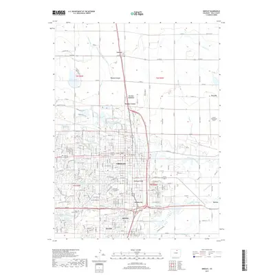
(20)- 2010 Map of Milliken, 2010 Print
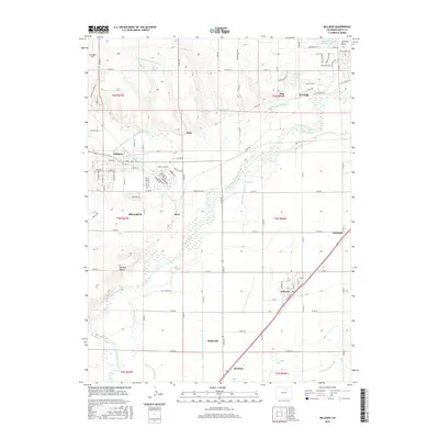
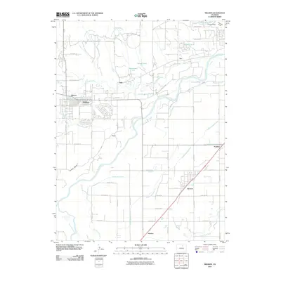 2010 Milliken2010 Print · USGSCovers Evans, including Milliken, Gilcrest, and other nearby areas
 - 2010 Map of Greeley, 2010 Print
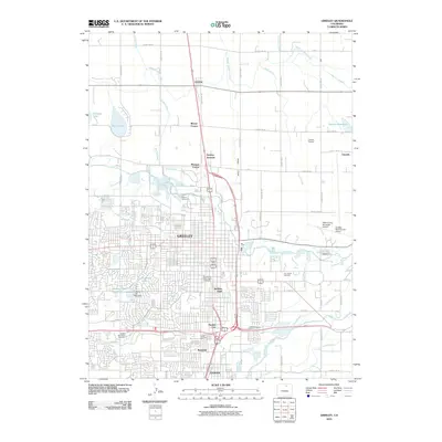 2010 Greeley2010 Print · USGSCovers Evans, including Greeley, Garden City, and other nearby areas
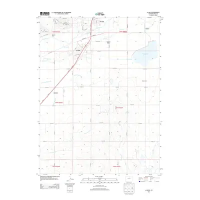
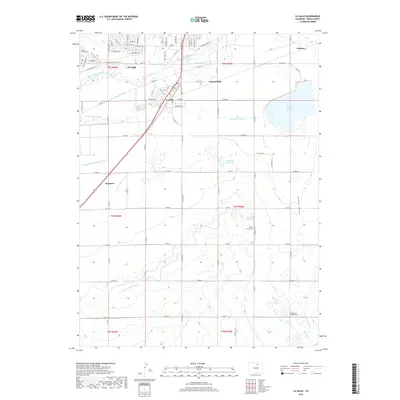
 - 2010 Map of La Salle, 2010 Print
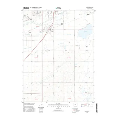
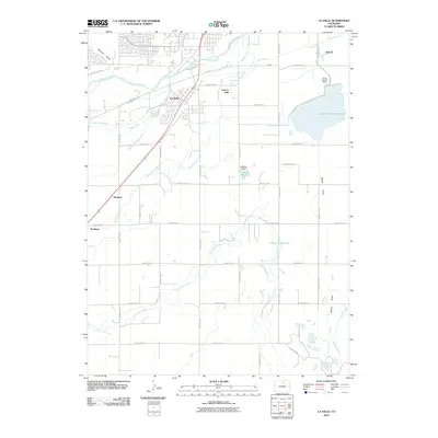 2010 La Salle2010 Print · USGSCovers Evans, including La Salle, Hambert, and other nearby areas
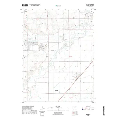
 - 2010 Map of Bracewell, 2010 Print
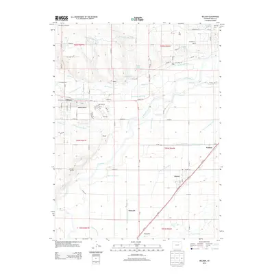
 2010 Bracewell2010 Print · USGSCovers Evans, including Greeley, Windsor, and other nearby areas
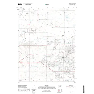
 - 2013 Map of Bracewell, 2013 Print
 2013 Bracewell2013 Print · USGSCovers Evans, including Greeley, Windsor, and other nearby areas
 - 2013 Map of La Salle, 2013 Print
 2013 La Salle2013 Print · USGSCovers Evans, including La Salle, Hambert, and other nearby areas
 - 2013 Map of Greeley, 2013 Print
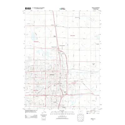 2013 Greeley2013 Print · USGSCovers Evans, including Greeley, Garden City, and other nearby areas
 - 2013 Map of Milliken, 2013 Print
 2013 Milliken2013 Print · USGSCovers Evans, including Milliken, Gilcrest, and other nearby areas
 - 2016 Map of La Salle, 2016 Print
 2016 La Salle2016 Print · USGSCovers Evans, including La Salle, Hambert, and other nearby areas
 - 2016 Map of Bracewell, 2016 Print
 2016 Bracewell2016 Print · USGSCovers Evans, including Greeley, Windsor, and other nearby areas
 - 2016 Map of Milliken, 2016 Print
 2016 Milliken2016 Print · USGSCovers Evans, including Milliken, Gilcrest, and other nearby areas
 - 2016 Map of Greeley, 2016 Print
 2016 Greeley2016 Print · USGSCovers Evans, including Greeley, Garden City, and other nearby areas
 - 2019 Map of Greeley, 2019 Print
 2019 Greeley2019 Print · USGSCovers Evans, including Greeley, Garden City, and other nearby areas
 - 2019 Map of Milliken, 2019 Print
 2019 Milliken2019 Print · USGSCovers Evans, including Milliken, Gilcrest, and other nearby areas
 - 2019 Map of La Salle, 2019 Print
 2019 La Salle2019 Print · USGSCovers Evans, including La Salle, Hambert, and other nearby areas
 - 2019 Map of Bracewell, 2019 Print
 2019 Bracewell2019 Print · USGSCovers Evans, including Greeley, Windsor, and other nearby areas
 - 2022 Map of Milliken, 2022 Print
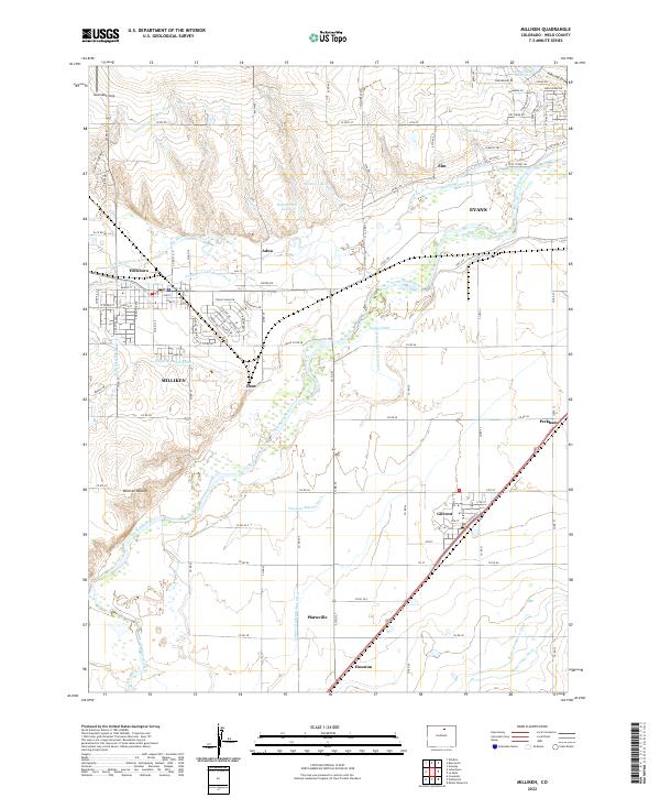 2022 Milliken2022 Print · USGSWeld County is captured in this modern survey during a period of ongoing agricultural activity and river management. Researchers can trace historic water routes through the Union Ditch and find rail-side settlements like Gilcrest, Peckham, and the small siding at Houston.
 - 2022 Map of Bracewell, 2022 Print
 2022 Bracewell2022 Print · USGSWeld County agriculture and urban growth intersect in the 2020s along the Cache la Poudre River. Trace the historic Great Western RR and complex irrigation systems like the Greeley Number 2 Canal and Jones Ditch.
 - 2022 Map of Greeley, 2022 Print
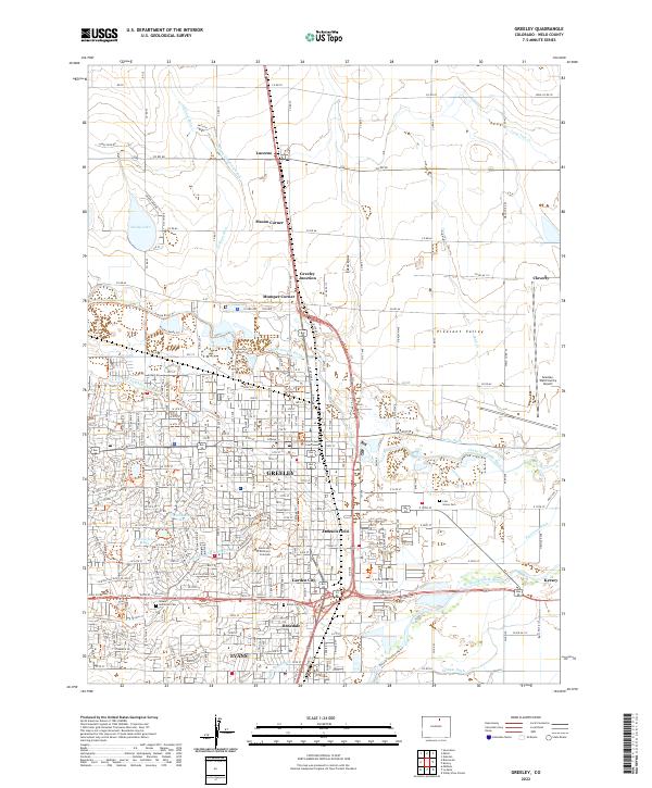 2022 Greeley2022 Print · USGSGreeley and Evans thrive as a hub of education and agriculture in the early twenty-first century, anchored by the river valleys. Researchers can locate family sites at Linn Grove Cem, the University of Northern Colorado, or outlying hamlets like Lucerne and Mason Corner.
 - 2022 Map of La Salle, 2022 Print
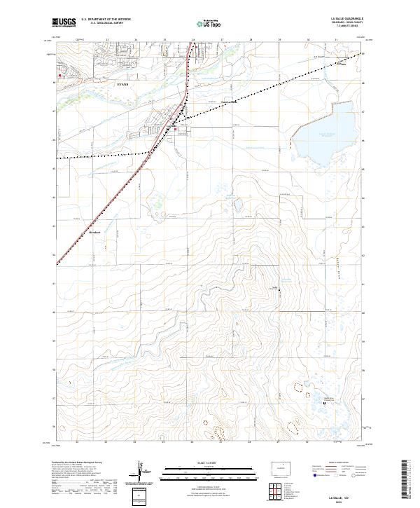 2022 La Salle2022 Print · USGSThe high plains of Weld County come into focus in this recent survey of the South Platte River valley. Researchers can trace historic irrigation networks and locate final resting places such as Beebe Draw Pioneer Cem and Beebe Draw Cem.
End of results
Showing maps 1-20 of 20
Top cities near Evans
- Greeley historical maps
- Windsor historical maps
- Johnstown historical maps
- Firestone historical maps
- Frederick historical maps
- Severance historical maps
See more
Top neighborhoods of Evans
Frequently asked questions
- What are the different types of historical maps available for Evans?
- What is the oldest map of Evans?
- Where can I purchase historical maps of Evans for my home or office?
- Where can I download high-res historical maps of Evans?
- Are there historical topographic maps available for Evans?
- Is there historical aerial imagery available for Evans?
- Where are historical maps of Evans sourced from?