Old Maps of Pierce, Colorado for Metal Detecting
Plan your next treasure hunt with 22 historic maps of Pierce. Find old homesites, ghost towns, trails, and gathering spots that may be lost to time — perfect for identifying promising metal detecting locations.
- Locate forgotten sites: Uncover places like long-lost settlements, abandoned rail lines, or gathering spots.
- Plan better hunts: Use map overlays combined with LiDAR or satellite views to narrow in on historically rich areas.
- Made for detectorists: Thousands of hobbyists use these maps to discover relics, coins, and hidden history.
Use these historic maps to boost your research and find new opportunities beneath the surface of Pierce.
Pierce, CO maps
(22)- 1908 Map of Eaton, 1957 Print
 1908 Eaton1957 Print · USGSWeld and Larimer counties are seen here in the early twentieth century as irrigation and rail lines transformed the high plains. Researchers can trace the development of agricultural hubs like Pierce and Severance alongside rural landmarks like Albert School and the Indian Springs Coal Mine.
 - 1910 Map of Eaton
 1910 Eaton1910 Print · USGSNorthern Colorado at the turn of the century shows a landscape transformed by railroads and early irrigation projects. Genealogists can locate many family-named landmarks like Slaxton Ranch and rural schoolhouses including Abbot School and Birch School.3 unique versions available
 - 1954 Map of Greeley, 1966 Print
 1954 Greeley1966 Print · USGSNorthern Colorado transitions from high-alpine peaks to the irrigated South Platte valley during this mid-century period of growth. Genealogists and historians can trace rail-connected hubs like Greeley and Longmont alongside landmarks like Horsetooth Reservoir and Estes Park.3 unique versions available
 - 1957 Map of Greeley
 1957 Greeley1957 Print · USGSNorthern Colorado in the mid-fifties is captured here as the agricultural plains of Weld County meet the high peaks of the Front Range. Genealogists and historians can trace rail-linked towns like Keenesburg and Roggen or locate early water features such as Boyd Lake and Fossil Creek Reservoir.
 - 1958 Map of Greeley
 1958 Greeley1958 Print · USGSNorthern Colorado and the high peaks of the Front Range appear here in the mid-fifties as the region's agricultural and rail networks were fully established. Genealogists can locate family homes near Virginia Dale, Waverly, or Kuner, and trace the path of the Union Pacific Railroad through Greeley.
 - 1960 Map of Nunn, 1962 Print
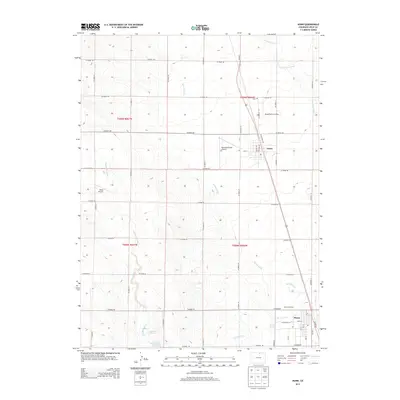
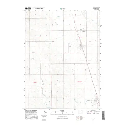
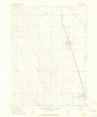 1960 Nunn1962 Print · USGSWeld County’s high plains are captured here in the early 1960s, documenting the rail-side development of Nunn and Pierce. Genealogists and local historians can trace the foundations of these communities through the High Sch, Mountain View Cem, and the Union Pacific rail line.
 - 1960 Map of Antelope Reservoir, 1962 Print
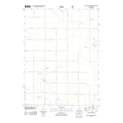
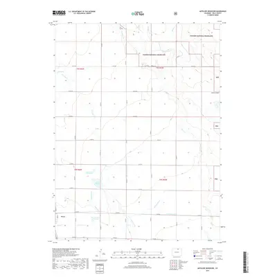
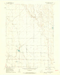 1960 Antelope Reservoir1962 Print · USGSWeld County’s agricultural and energy landscape comes into focus during the early sixties, centered on the railroad town of Pierce. Researchers can trace the extensive irrigation network through the Pierce Lateral and locate operations within the Pierce Oil Field.2 unique versions available
 - 1961 Map of Greeley
 1961 Greeley1961 Print · USGSNorthern Colorado's transition from high mountain peaks to irrigated plains is captured here just as the post-war population boom reached the Front Range. Researchers can trace early water infrastructure and rail lines like the Great Western RR connecting sugar beet hubs from Fort Collins to Greeley.
 - 1964 Map of Greeley
 1964 Greeley1964 Print · USGSThe Front Range corridor and high peaks of the Rockies appear here in the mid-1960s, showing the intersection of mountain wilderness and plains agriculture. Trace the rail routes of the Great Western RR or locate landmarks like Longs Peak and Horsetooth Reservoir.
 - 1965 Map of Greeley
 1965 Greeley1965 Print · USGSNorthern Colorado in the mid-sixties shows a landscape defined by high mountain summits and the growing irrigation networks of the plains. Genealogists and historians can trace rail-side towns like Wellington or follow the early tracks of the Union Pacific Railroad past Longs Peak.
 - 1982 Map of Eaton
 1982 Eaton1982 Print · USGSNorthern Colorado and the Wyoming borderlands are captured here in the early eighties, showcasing a vast agricultural and rail landscape. Trace family roots and vanished infrastructure through Chalk Bluffs, the Great Western railroad, and Keota.2 unique versions available
 - 1997 Map of Antelope Reservoir, 2000 Print
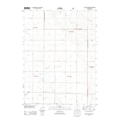
 1997 Antelope Reservoir2000 Print · USGSThe High Plains of Weld County come into focus in the late nineties, showcasing a landscape defined by water management and energy. Researchers can trace irrigation networks like the Pierce Lateral and find the site of the Pierce Oil Field or Boyd Springs.
 - 2010 Map of Nunn, 2010 Print
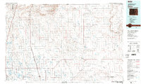
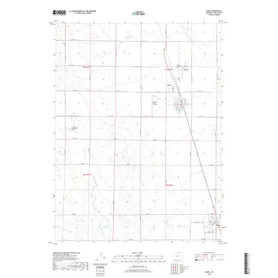
 2010 Nunn2010 Print · USGSCovers Pierce, including Nunn, Weld County, and other nearby areas
 - 2011 Map of Antelope Reservoir, 2011 Print
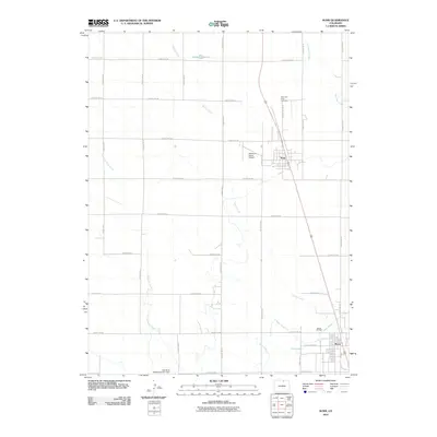
 2011 Antelope Reservoir2011 Print · USGSCovers Pierce, including Weld County, United States, and other nearby areas
 - 2013 Map of Nunn, 2013 Print
 2013 Nunn2013 Print · USGSCovers Pierce, including Nunn, Weld County, and other nearby areas
 - 2013 Map of Antelope Reservoir, 2013 Print
 2013 Antelope Reservoir2013 Print · USGSCovers Pierce, including Weld County, United States, and other nearby areas
 - 2016 Map of Antelope Reservoir, 2016 Print
 2016 Antelope Reservoir2016 Print · USGSCovers Pierce, including Weld County, United States, and other nearby areas
 - 2016 Map of Nunn, 2016 Print
 2016 Nunn2016 Print · USGSCovers Pierce, including Nunn, Weld County, and other nearby areas
 - 2019 Map of Nunn, 2019 Print
 2019 Nunn2019 Print · USGSCovers Pierce, including Nunn, Weld County, and other nearby areas
 - 2019 Map of Antelope Reservoir, 2019 Print
 2019 Antelope Reservoir2019 Print · USGSCovers Pierce, including Weld County, United States, and other nearby areas
 - 2022 Map of Antelope Reservoir, 2022 Print
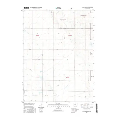
 2022 Antelope Reservoir2022 Print · USGSWeld County’s high plains and the Pawnee National Grassland are mapped here in the early 2020s. Genealogists and local historians can trace the irrigation network from Pierce through the Lone Tree Ditch to the Rowe Brothers Reservoir.
 - 2022 Map of Nunn, 2022 Print
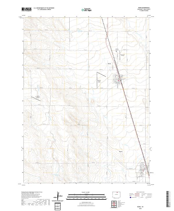 2022 Nunn2022 Print · USGSAgricultural towns and private airfields dot the Weld County plains in this modern survey. Local historians can trace the streets of Nunn and Pierce or locate landmarks like the Mountain View Cem and Rattlesnake Springs.
End of results
Showing maps 1-22 of 22
Top cities near Pierce
- Greeley historical maps
- Loveland historical maps
- Windsor historical maps
- Johnstown historical maps
- Severance historical maps
- Eaton historical maps
See more
Frequently asked questions
- What are the different types of historical maps available for Pierce?
- What is the oldest map of Pierce?
- Where can I purchase historical maps of Pierce for my home or office?
- Where can I download high-res historical maps of Pierce?
- Are there historical topographic maps available for Pierce?
- Is there historical aerial imagery available for Pierce?
- Where are historical maps of Pierce sourced from?