Old Maps of Madison, Connecticut for Hiking & Exploration
Hike through history with 42 historic maps of Madison. Explore old trails, ghost towns, and forgotten backroads — perfect for outdoor adventurers and local explorers.
- Rediscover forgotten places: Map out old mining camps, roads, and footpaths that no longer exist on modern maps.
- Layer with modern tools: Combine with LiDAR or satellite views to plan hikes through historical terrain.
- Made for exploration: Popular among hikers, overlanders, and local history lovers.
Use these maps to find adventure and explore the hidden past of Madison.
Madison, CT maps
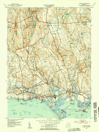
(42)- 1893 Map of Guilford
 1893 Guilford1893 Print · USGSCoastal Middlesex County comes to life in the late nineteenth century, showing the early rail-connected growth of shoreline and interior villages. Genealogists can trace family landmarks and forgotten stops like Sachems Head Station, Nut Plains, and Nineveh Falls.8 unique versions available
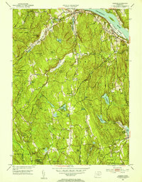
 - 1943 Map of Durham
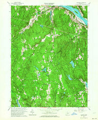
 1943 Durham1943 Print · USGSMiddlesex and New Haven counties are mapped during the early years of the war, showing the rural landscapes around Durham Center. Genealogists and historians can trace family-named sites like Linmar Dairy Farm and explore the rail corridor of the New York New Haven and Hartford.
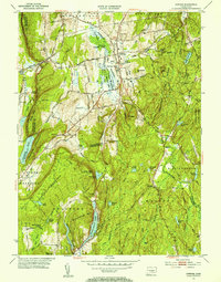
 - 1947 Map of Hartford, 1955 Print
 1947 Hartford1955 Print · USGSSouthern New England and the Hudson Valley are shown in detail during the post-war expansion era. Genealogists and researchers can trace local landmarks from the State Capitol and Yale University to the Stratford Lighthouse and Woodlawn Cem.2 unique versions available
 - 1948 Map of Hartford
 1948 Hartford1948 Print · USGSSouthern New England is captured here in the late 1940s, showcasing a landscape of thriving industrial cities and developing parkways. Genealogists and historians can trace the rail networks of the New York New Haven and Hartford RR or locate coastal defense sites like Fort Terry and Camp Shanks.2 unique versions available
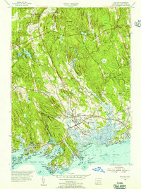
 - 1951 Map of Clinton, 1953 Print
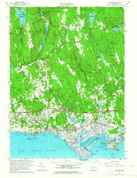
 1951 Clinton1953 Print · USGSCoastal Connecticut in the early fifties shows a landscape of growing seaside communities and managed state forests. Researchers can trace the path of the New York New Haven and Hartford railroad or find historic local landmarks like the Cow Hill Red Sch and Evergreen Cem.3 unique versions available
 - 1952 Map of Haddam, 1954 Print
 1952 Haddam1954 Print · USGSMiddlesex County's river-and-rail landscape is captured in the early fifties before modern development reshaped these historic Connecticut valley towns. Genealogists can trace family roots through dozen of neighborhood burial grounds like Stone House Cem and Burr District Cem or locate the Haddam Neck Sch.3 unique versions available
 - 1953 Map of Durham, 1954 Print
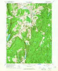
 1953 Durham1954 Print · USGSThe rural heart of Middlesex County is captured in the early fifties, showing a landscape of small crossroads villages and steep ridges. Genealogists and hikers can trace old routes like Stagecoach Road, locate the Bluff Head Cemetery, and explore the rail corridor through Reed Gap.4 unique versions available
 - 1954 Map of Guilford, 1956 Print
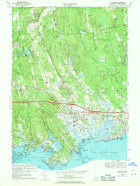
 1954 Guilford1956 Print · USGSCoastal New Haven County is shown here in the mid-fifties, capturing the balance between the deep woods of the Cockaponset State Forest and the bustling Guilford shore. Genealogists and researchers can trace family landmarks like the Calvin Leete Sch or explore the jagged shoreline at Sachems Head and Stony Creek.4 unique versions available
 - 1961 Map of Hartford
 1961 Hartford1961 Print · USGSSouthern New England and the Hudson Valley are shown here in the mid-fifties, capturing a landscape of booming coastal cities and interior hill towns. Researchers can trace the legacy of the New York New Haven and Hartford rail corridor and find strategic sites like Camp Shanks and Fort Michie.
 - 1961 Map of Haddam, 1964 Print
 1961 Haddam1964 Print · USGSThe Lower Connecticut River Valley is shown here in the early sixties as a landscape of dense state forests and riverside hamlets. Genealogists and local historians can trace old family sites and burial grounds like Old Ponset Cem, Parker Hill Cem, and Emmanuel Ch.3 unique versions available
 - 1961 Map of Clinton, 1964 Print
 1961 Clinton1964 Print · USGSThe Connecticut shoreline transitions from salt marshes to forested hills in the early sixties. Genealogists and local historians can trace family-named sites like Roast Meat Hill, find St Marys Cem, and locate the old Griswold Airport.4 unique versions available
 - 1962 Map of Hartford, 1971 Print
 1962 Hartford1971 Print · USGSSouthern New England and the Hudson Valley are shown in the early sixties, as suburban growth reached into the foothills. Trace the path of the New York New Haven & Hartford RR and find landmarks like Camp Nathan Hale and Gillette Castle State Park.3 unique versions available
 - 1964 Map of Durham, 1965 Print
 1964 Durham1965 Print · USGSMid-century Middlesex County is captured here during a period of steady growth across the Durham uplands and the Cockaponset State Forest. Genealogists and local historians can trace family-named sites like Beaver Head Corner, Bluff Head Cem, and old district landmarks like Korn Sch.4 unique versions available
 - 1965 Map of Hartford
 1965 Hartford1965 Print · USGSSouthern New England and the Hudson Valley are shown here during the mid-sixties expansion of the Interstate era. Trace the path of the New York New Haven & Hartford RR or locate historic landmarks like West Point Military Reservation and the Merritt Parkway.2 unique versions available
 - 1968 Map of Guilford, 1970 Print
 1968 Guilford1970 Print · USGSThe Connecticut shoreline in the late sixties reveals a landscape of rocky coastal islands and expanding post-war infrastructure. Trace family roots at St Johns Cem, explore the granite coast of Stony Creek, or locate the historic Guilford Sta.5 unique versions available
 - 1983 Map of New Haven, 1985 Print
 1983 New Haven1985 Print · USGSThe Connecticut shoreline and eastern Long Island are documented here in the early eighties, from the streets of New Haven to the piers of New London. Genealogists and historians can trace the geography of maritime heritage and academia at Yale University and the U.S. Coast Guard Academy.2 unique versions available
 - 2012 Map of Clinton, 2012 Print
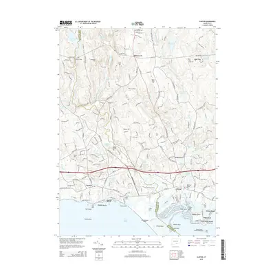
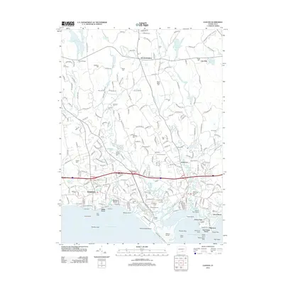 2012 Clinton2012 Print · USGSCovers Madison, including Clinton, Westbrook, and other nearby areas
 - 2012 Map of Durham, 2012 Print
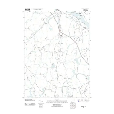
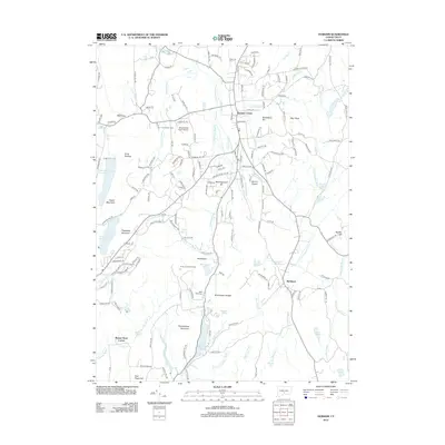 2012 Durham2012 Print · USGSCovers Madison, including Meriden, Middletown, and other nearby areas
 - 2012 Map of Guilford, 2012 Print
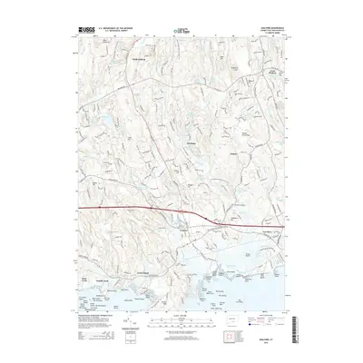
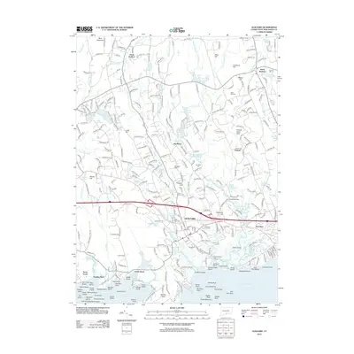 2012 Guilford2012 Print · USGSCovers Madison, including Branford, Guilford, and other nearby areas
 - 2012 Map of Clinton OE S, 2012 Print
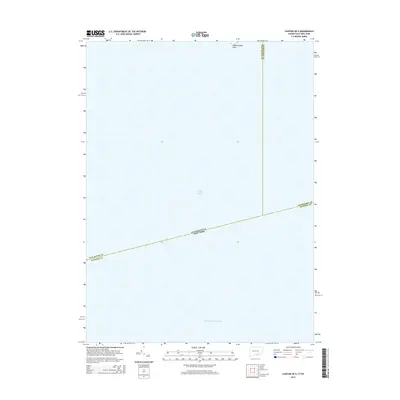
 2012 Clinton OE S2012 Print · USGSCovers Madison, including Southold, Clinton, and other nearby areas
 - 2012 Map of Haddam, 2012 Print
 2012 Haddam2012 Print · USGSCovers Madison, including Haddam, Durham, and other nearby areas
 - 2015 Map of Clinton OE S, 2015 Print
 2015 Clinton OE S2015 Print · USGSCovers Madison, including Southold, Clinton, and other nearby areas
 - 2015 Map of Clinton, 2015 Print
 2015 Clinton2015 Print · USGSCovers Madison, including Clinton, Westbrook, and other nearby areas
 - 2015 Map of Guilford, 2015 Print
 2015 Guilford2015 Print · USGSCovers Madison, including Branford, Guilford, and other nearby areas
 - 2015 Map of Durham, 2015 Print
 2015 Durham2015 Print · USGSCovers Madison, including Meriden, Middletown, and other nearby areas
Showing maps 1-25 of 42
Top cities near Madison
- Meriden historical maps
- Middletown historical maps
- Wallingford historical maps
- Southington historical maps
- Riverhead historical maps
- Branford historical maps
See more
Top neighborhoods of Madison
- Rockland historical maps
- North Madison historical maps
- Seaview Beach historical maps
- East River historical maps
Frequently asked questions
- What are the different types of historical maps available for Madison?
- What is the oldest map of Madison?
- Where can I purchase historical maps of Madison for my home or office?
- Where can I download high-res historical maps of Madison?
- Are there historical topographic maps available for Madison?
- Is there historical aerial imagery available for Madison?
- Where are historical maps of Madison sourced from?