
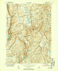
1953 Map of Durham
USGS Topo · Published 1954About this map
Durham and its neighboring villages serve as the central hub of this mid-century survey, showcasing a landscape defined by the drainage of the Coginchaug River and the undulating ridges of the Metacomet Ridge. The rural character of the early 1950s is evident in the scattered crossroads settlements like Beaver Head Corner and Rockland, while the industrial and agricultural heritage is marked by features such as Allyn Millpond and the broad Durham Meadows.
Find a feature on this map
84 named features on this map. Tap any name to fly to it.
Don’t see what you’re looking for? This feature index may not catch every label — zoom into the map to look around manually.
Map Details
Editions of this 1953 Durham Map
4 editions found
Other maps of this area

1892 · New Haven
USGS Topo · 1:62,500

1892 · Meriden
USGS Topo · 1:62,500

1893 · Guilford
USGS Topo · 1:62,500

1893 · Middletown
USGS Topo · 1:62,500

1893 · Meriden
USGS Topo · 1:62,500

1906 · Farmington
USGS Topo · 1:125,000

1921 · New Haven
USGS Topo · 1:62,500

1928 · Cromwell
USGS Topo · 1:24,000

1943 · Durham
USGS Topo · 1:25,000

1945 · Middle Haddam
USGS Topo · 1:31,680