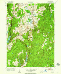
1953 Map of Durham
USGS Topo · Published 1959About this map
The Coginchaug River valley serves as the central corridor for this 1953 survey, where agricultural flats meet the rising trap rock ridges of south-central Connecticut. Durham and Durham Center anchor the local road network, while the western edge is defined by the steep slopes of Pistapaug Mountain and Fowler Mtn. This landscape reveals a complex mid-century balance between working lands, such as the Durham Hunting Area, and the growing recreational footprint of Trimountain State Park and Cockaponset State Forest.
Find a feature on this map
63 named features on this map. Tap any name to fly to it.
Don’t see what you’re looking for? This feature index may not catch every label — zoom into the map to look around manually.
Map Details
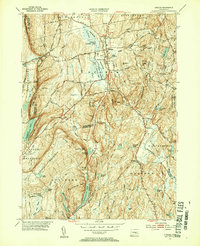
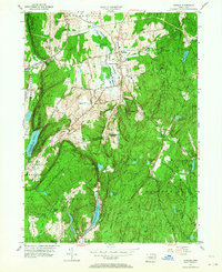
Editions of this 1953 Durham Map
4 editions found

Other maps of this area

1892 · New Haven
USGS Topo · 1:62,500

1892 · Meriden
USGS Topo · 1:62,500

1893 · Guilford
USGS Topo · 1:62,500

1893 · Middletown
USGS Topo · 1:62,500

1893 · Meriden
USGS Topo · 1:62,500

1906 · Farmington
USGS Topo · 1:125,000

1921 · New Haven
USGS Topo · 1:62,500

1928 · Cromwell
USGS Topo · 1:24,000

1943 · Durham
USGS Topo · 1:25,000

1945 · Middle Haddam
USGS Topo · 1:31,680