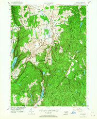
1953 Map of Durham
USGS Topo · Published 1964About this map
Durham and Durham Center serve as the primary inland nodes in this mid-century portrait of Middlesex and New Haven counties. The landscape is defined by its north-south ridges and significant water bodies, including Quonnipaug Lake and Pistapaug Pond. The rural character of the early 1950s is evident in the scattered small settlements like Rockland and Parmalee, and the reliance on local resources seen at Allyn Millpond. Large portions of the eastern terrain are occupied by the Cockaponset State Forest, while the western edge is marked by the dramatic elevations of Beseck Mountain and Pistapaug Mountain.
Find a feature on this map
57 named features on this map. Tap any name to fly to it.
Don’t see what you’re looking for? This feature index may not catch every label — zoom into the map to look around manually.
Map Details
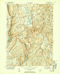
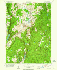
Editions of this 1953 Durham Map
4 editions found

Other maps of this area

1892 · New Haven
USGS Topo · 1:62,500

1892 · Meriden
USGS Topo · 1:62,500

1893 · Guilford
USGS Topo · 1:62,500

1893 · Middletown
USGS Topo · 1:62,500

1893 · Meriden
USGS Topo · 1:62,500

1906 · Farmington
USGS Topo · 1:125,000

1921 · New Haven
USGS Topo · 1:62,500

1928 · Cromwell
USGS Topo · 1:24,000

1943 · Durham
USGS Topo · 1:25,000

1945 · Middle Haddam
USGS Topo · 1:31,680