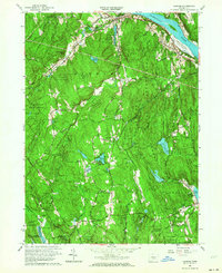
1961 Map of Haddam
USGS Topo · Published 1964About this map
Cockaponset State Forest dominates this mid-century landscape, enveloping small settlements and numerous high-ground landmarks like Goose Hill and Walkley Hill. The Connecticut River serves as the eastern boundary, where the New York New Haven and Hartford railroad parallels the shore near Haddam Meadows State Park. This era shows a community defined by its water resources and conservation lands, with the Higganum Reservoir and Turkey Hill Reservoir providing significant hydrographic features alongside the newer Hammonasset Reservoir in the southwest.
Find a feature on this map
69 named features on this map. Tap any name to fly to it.
Don’t see what you’re looking for? This feature index may not catch every label — zoom into the map to look around manually.
Map Details
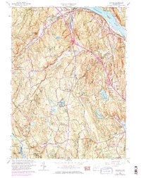
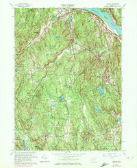
Editions of this 1961 Haddam Map
3 editions found
Other maps of this area

1892 · Gilead
USGS Topo · 1:62,500

1893 · Guilford
USGS Topo · 1:62,500

1893 · Middletown
USGS Topo · 1:62,500

1893 · Saybrook
USGS Topo · 1:62,500

1906 · Farmington
USGS Topo · 1:125,000

1928 · Cromwell
USGS Topo · 1:24,000

1943 · Durham
USGS Topo · 1:25,000

1944 · Essex
USGS Topo · 1:31,680

1944 · Deep River
USGS Topo · 1:31,680

1945 · Middle Haddam
USGS Topo · 1:31,680