2000s (21st Century) Maps of Dover, Delaware
Explore 15 historic maps of Dover from the 2000s (21st Century). These maps offer a rare glimpse into what life looked like during the 2000s — showing old roads, neighborhoods, homes, and landmarks that have changed or disappeared over time.
Whether you're researching your family's past, planning a metal detecting trip, or studying how Dover's landscape evolved across the 2000s, these high-resolution maps are a powerful tool for exploring the history of this region.
- Focus on a specific era: All maps on this page are from the 2000s, giving you a focused view of this time period.
- See what’s changed: Compare century-old streets, trails, and buildings to today's modern landscape using overlays and satellite layers.
- Research with precision: Use these maps for genealogy, historical research, land use analysis, or educational projects.
- View, download, or print: Maps are fully viewable online in high resolution, and can be downloaded or printed for your own records.
Start exploring Dover's history through authentic maps from the 2000s. This is your window into the past.
Dover, DE maps
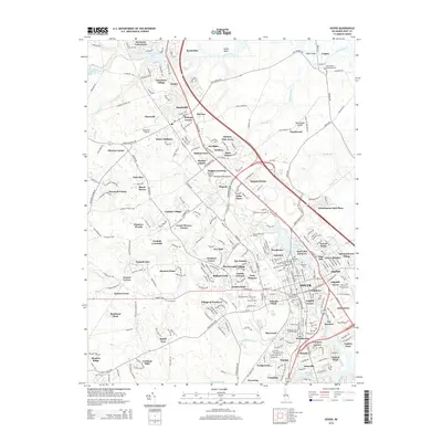
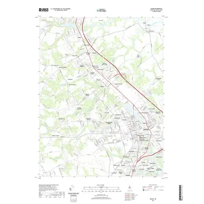
(15)- 2011 Map of Dover, 2011 Print
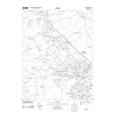 2011 Dover2011 Print · USGSCovers Dover, including Camden, Kent Acres, and other nearby areas
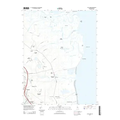
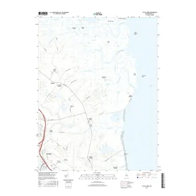
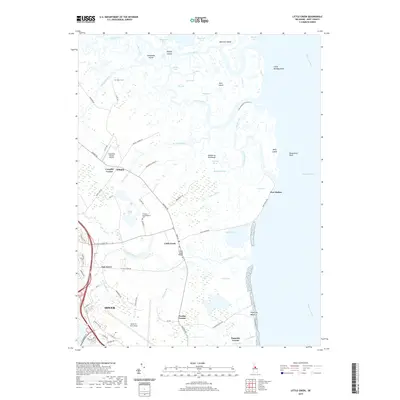
 - 2011 Map of Little Creek, 2011 Print
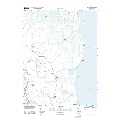 2011 Little Creek2011 Print · USGSCovers Dover, including Little Creek, Hilldale, and other nearby areas
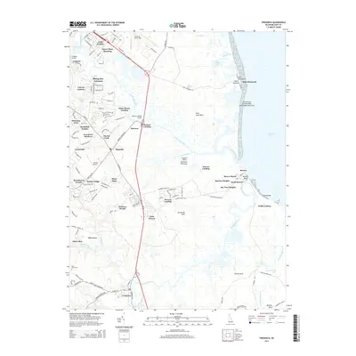
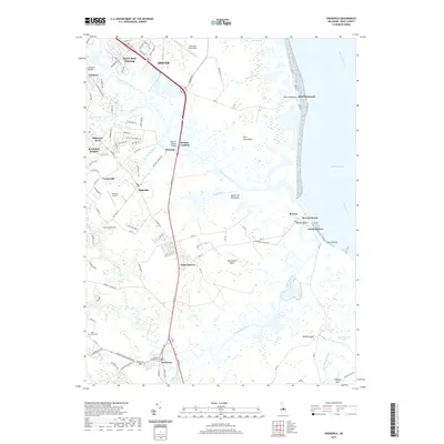
 - 2011 Map of Frederica, 2011 Print
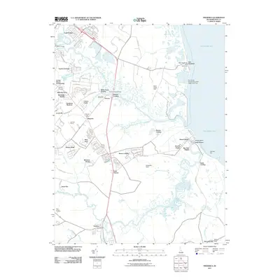 2011 Frederica2011 Print · USGSCovers Dover, including Dover Base, Magnolia, and other nearby areas
 - 2014 Map of Little Creek, 2014 Print
 2014 Little Creek2014 Print · USGSCovers Dover, including Little Creek, Hilldale, and other nearby areas
 - 2014 Map of Frederica, 2014 Print
 2014 Frederica2014 Print · USGSCovers Dover, including Dover Base, Magnolia, and other nearby areas
 - 2014 Map of Dover, 2014 Print
 2014 Dover2014 Print · USGSCovers Dover, including Camden, Kent Acres, and other nearby areas
 - 2016 Map of Frederica, 2016 Print
 2016 Frederica2016 Print · USGSCovers Dover, including Dover Base, Magnolia, and other nearby areas
 - 2016 Map of Dover, 2016 Print
 2016 Dover2016 Print · USGSCovers Dover, including Camden, Kent Acres, and other nearby areas
 - 2016 Map of Little Creek, 2016 Print
 2016 Little Creek2016 Print · USGSCovers Dover, including Little Creek, Hilldale, and other nearby areas
 - 2019 Map of Frederica, 2019 Print
 2019 Frederica2019 Print · USGSCovers Dover, including Dover Base, Magnolia, and other nearby areas
 - 2019 Map of Dover, 2019 Print
 2019 Dover2019 Print · USGSCovers Dover, including Camden, Kent Acres, and other nearby areas
 - 2019 Map of Little Creek, 2019 Print
 2019 Little Creek2019 Print · USGSCovers Dover, including Little Creek, Hilldale, and other nearby areas
 - 2023 Map of Frederica, 2023 Print
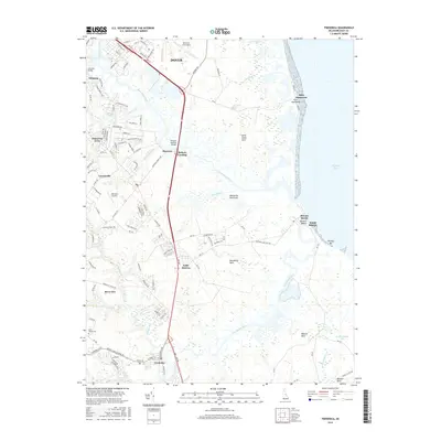
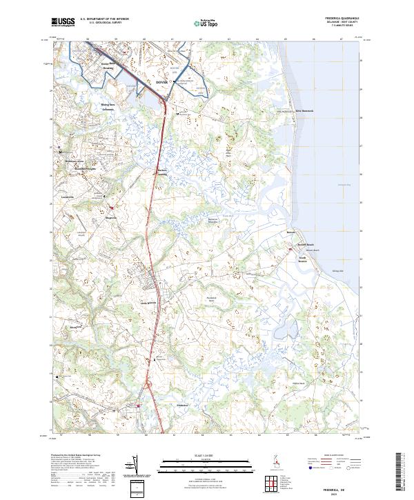 2023 Frederica2023 Print · USGSThe Delaware coast near Magnolia and Frederica shows a unique blend of military infrastructure and deep-rooted colonial-era heritage. Genealogists can trace family lines at the Dickinson Plantation Cem, Bannings Cem, and the historic Barratts Chapel Cem.
 - 2023 Map of Dover, 2023 Print
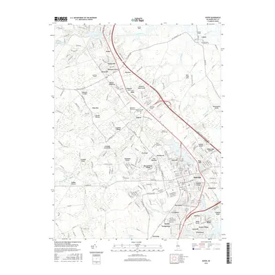
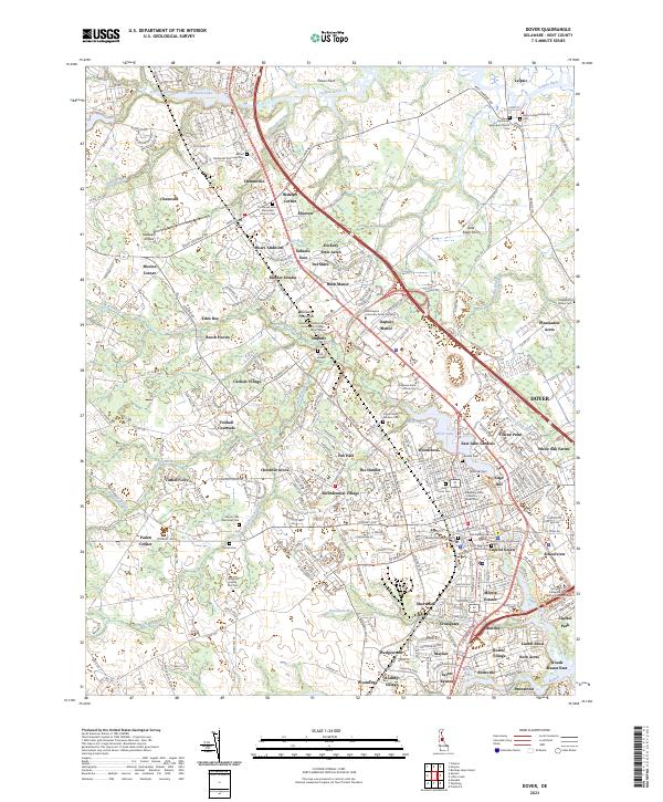 2023 Dover2023 Print · USGSDover and its surrounding Kent County suburbs are shown in great detail during the early 2020s. Genealogists can locate family landmarks like the Amish Cem or Slaughter Family Plot Cem, while historians trace the city's growth around Silver Lake.
 - 2023 Map of Little Creek, 2023 Print
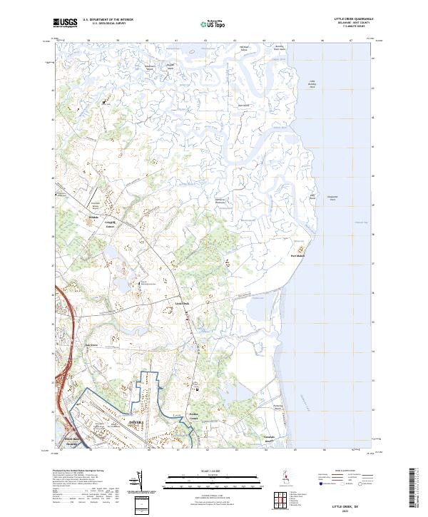 2023 Little Creek2023 Print · USGSThe Kent County coast comes into focus in this contemporary survey of the salt marshes and military installations east of Dover. Researchers can trace the legacy of local families at Moors Cem and Little Creek Cem or explore the maritime edge at Port Mahon.
End of results
Showing maps 1-15 of 15
Top cities near Dover
- Smyrna historical maps
- Milford historical maps
- Fairfield Township historical maps
- Hopewell Township historical maps
- Highland Acres historical maps
- Harrington historical maps
See more
Top neighborhoods of Dover
- The Hamlet historical maps
- Towne Point historical maps
- Wedgewood historical maps
- White Oak Farms historical maps
- Woodcrest historical maps
- Woodstock Court historical maps
See more
Frequently asked questions
- What are the different types of historical maps available for Dover?
- What is the oldest map of Dover?
- Where can I purchase historical maps of Dover for my home or office?
- Where can I download high-res historical maps of Dover?
- Are there historical topographic maps available for Dover?
- Is there historical aerial imagery available for Dover?
- Where are historical maps of Dover sourced from?