Old Maps of Georgetown, Delaware for Academic Research
Study the evolution of Georgetown with 25 high-resolution historic maps. Whether you're teaching, researching, or modeling changes in land use, these maps provide essential visual documentation of urban, environmental, and geographic change.
- Analyze long-term change: Track patterns in development, transportation, and natural features.
- Ideal for environmental or urban studies: Support academic projects with primary historical map data.
- Use in the classroom or lab: Educators and researchers rely on these maps to bring historical context to life.
These maps are a powerful tool for teaching, research, and visualizing how Georgetown has changed over the decades.
Georgetown, DE maps
(25)- 1917 Map of Millsboro
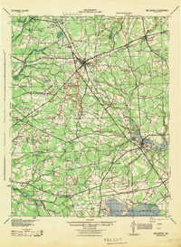
 1917 Millsboro1917 Print · USGSCoastal Sussex County is captured here during the First World War, showing a landscape of rural schoolhouses and railroad sidings centered on Georgetown. Genealogists can trace family connections through numerous landmarks like Mc Colleys, Shortly, and the Westwood Church.2 unique versions available
 - 1938 Map of Millsboro, 1945 Print
 1938 Millsboro1945 Print · USGSSussex County’s agricultural and rail heartland is captured here between the World Wars, showing Georgetown and Millsboro before modern expansion. Genealogists can trace family roots through numerous named schoolhouses and local junctions like Knowles and Jones Crossroads.
 - 1944 Map of Millsboro
 1944 Millsboro1944 Print · USGSSussex County during the mid-forties is a landscape of rural crossroads and family-run farms before modern development. Genealogists can trace hundreds of small landmarks like Spicer Siding, Broadkill Sta, and many family-named schools including Isaacs Sch and Marvel Sch.
 - 1944 Map of Harbeson
 1944 Harbeson1944 Print · USGSMid-century Sussex County is captured here as a landscape of rural schoolhouses, mills, and small railroad sidings. Genealogists and local historians can trace family-named landmarks like Sanderson Crossroads, visit the Beaverdam Cem, or locate the Delaware Colony Infirmary.2 unique versions available
 - 1946 Map of Salisbury, 1948 Print
 1946 Salisbury1948 Print · USGSThe Delmarva Peninsula in the late nineteen-forties shows a landscape defined by its deep river arteries and emerging coastal defenses. Genealogists and historians can trace rail-connected towns like Federalsburg or locate maritime landmarks such as the Ocean City Seaplane Base and Fort Miles Military Reservation.4 unique versions available
 - 1947 Map of Salisbury, 1948 Print
 1947 Salisbury1948 Print · USGSThe Delmarva Peninsula in the late forties reveals a coastal landscape of maritime defense and growing seaside towns. Trace the post-war footprint of Salisbury, the strategic Fort Miles Military Reservation, and the Ocean City Seaplane Base.
 - 1948 Map of Salisbury, 1951 Print
 1948 Salisbury1951 Print · USGSThe Delmarva Peninsula in the late 1940s is shown here as a busy network of rail-towns and coastal outposts. Researchers can trace the legacy of the Pennsylvania Railroad through inland hubs like Georgetown or the maritime reaches of Crisfield and Cape May.
 - 1954 Map of Georgetown, 1955 Print
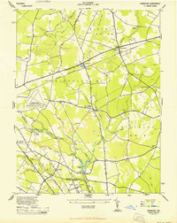
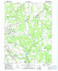
 1954 Georgetown1955 Print · USGSGeorgetown and its surrounding rural districts are shown in the mid-fifties, just as highway infrastructure like the Dupont Highway was being modernized. Genealogists can locate community centers like McColley Ch and regional hubs such as Redden Crossroads or Whaleys Corners.3 unique versions available
 - 1955 Map of Harbeson, 1956 Print
 1955 Harbeson1956 Print · USGSCoastal Sussex County in the mid-1950s reveals a landscape of railroad sidings, drainage ditches, and rural crossroads. Genealogists and historians can locate St John Ch, trace the Pennsylvania rail line through Harbeson, and find the Morris Millpond area.4 unique versions available
 - 1957 Map of Salisbury
 1957 Salisbury1957 Print · USGSThe Delmarva Peninsula in the mid-1950s reveals a landscape of coastal defenses and rail-driven commerce. Researchers can trace the Pennsylvania railroad lines or locate historic landmarks like the Fenwick Island Lighthouse and St Martin church.
 - 1961 Map of Salisbury
 1961 Salisbury1961 Print · USGSThe Delmarva Peninsula comes into focus in the early sixties, showing the vital road and rail networks connecting the Chesapeake to the Atlantic. Genealogists and historians can trace family-named landings and coastal landmarks from Crisfield to the Brandywine Shoal Lighthouse.
 - 1965 Map of Salisbury
 1965 Salisbury1965 Print · USGSThe Delmarva Peninsula in the mid-1960s is depicted here as a landscape of coastal defenses and maritime hubs. Genealogists and local historians can trace the foundations of bayside towns like Crisfield and the tactical positioning of the Fort Miles Military Reservation and Cape May Naval Air Station.
 - 1984 Map of Seaford, 1986 Print
 1984 Seaford1986 Print · USGSCoastal Delaware and the Maryland borderlands are captured here in the mid-eighties as modern tourism and traditional agriculture coexist. Researchers can trace the rail-and-river routes through Seaford, explore inland millponds like Chipman Pond, or study the shoreline at Cape Henlopen.2 unique versions available
 - 1992 Map of Harbeson
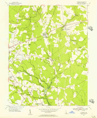
 1992 Harbeson1992 Print · USGSThe rural landscapes of Sussex County are captured here in the early nineties, showing a network of small rail settlements and agricultural crossroads. Genealogists can trace family landmarks like Beaverdam Cem and the country churches at Springfield Crossroads or Stockley.
 - 1992 Map of Georgetown
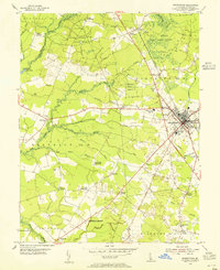
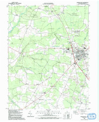 1992 Georgetown1992 Print · USGSGeorgetown and its surrounding forests are captured here in the early 1990s as the regional hub for education and industry. Genealogists can trace family names at Kings Crossroads or locate rural landmarks like Hebron Ch and Asbury Ch.
 - 2011 Map of Harbeson, 2011 Print
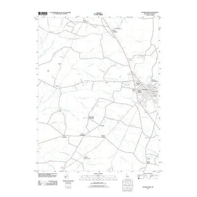
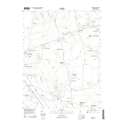
 2011 Harbeson2011 Print · USGSCovers Georgetown, including Harbeson, Briarwood Manor, and other nearby areas
 - 2011 Map of Georgetown, 2011 Print
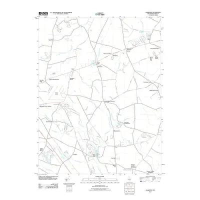
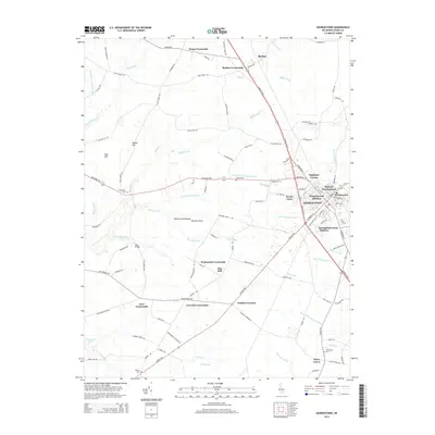
 2011 Georgetown2011 Print · USGSCovers Georgetown, including Kings Crossroads, Redden, and other nearby areas
 - 2014 Map of Georgetown, 2014 Print
 2014 Georgetown2014 Print · USGSCovers Georgetown, including Kings Crossroads, Redden, and other nearby areas
 - 2014 Map of Harbeson, 2014 Print
 2014 Harbeson2014 Print · USGSCovers Georgetown, including Harbeson, Briarwood Manor, and other nearby areas
 - 2016 Map of Harbeson, 2016 Print
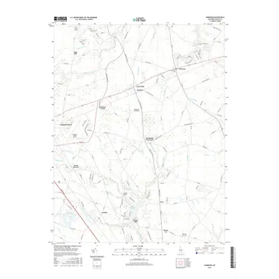 2016 Harbeson2016 Print · USGSCovers Georgetown, including Harbeson, Briarwood Manor, and other nearby areas
 - 2016 Map of Georgetown, 2016 Print
 2016 Georgetown2016 Print · USGSCovers Georgetown, including Kings Crossroads, Redden, and other nearby areas
 - 2019 Map of Harbeson, 2019 Print
 2019 Harbeson2019 Print · USGSCovers Georgetown, including Harbeson, Briarwood Manor, and other nearby areas
 - 2019 Map of Georgetown, 2019 Print
 2019 Georgetown2019 Print · USGSCovers Georgetown, including Kings Crossroads, Redden, and other nearby areas
 - 2023 Map of Georgetown, 2023 Print
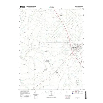
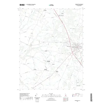
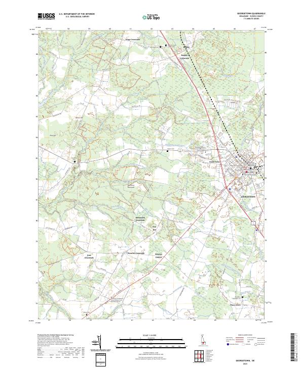 2023 Georgetown2023 Print · USGSGeorgetown and its rural crossroads in Sussex County are documented here in the early twenty-first century. Family historians can trace numerous burial sites including Wesley Methodist Episcopal Chapel Cem and Providence Methodist Cem.
 - 2023 Map of Harbeson, 2023 Print
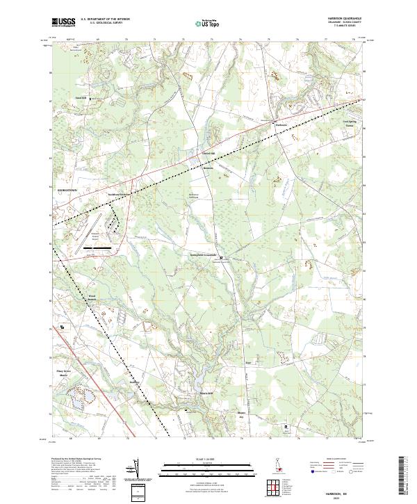 2023 Harbeson2023 Print · USGSThe rural landscape of Sussex County, Delaware, comes into focus in this recent survey of the agricultural heartland near Georgetown. Genealogists and local historians can trace family burial sites at Beaverdam Cem and explore old mill sites like Hunters Millpond and Morris Mill.
End of results
Showing maps 1-25 of 25
Top cities near Georgetown
- Milford historical maps
- Seaford historical maps
- Delmar historical maps
- Laurel historical maps
- Harrington historical maps
- Lewes historical maps
See more
Top neighborhoods of Georgetown
- Dunbarton Oaks Apartments historical maps
- Harlemtown historical maps
- Kings Second Addition historical maps
- Murrays Development historical maps
- Swain Acres historical maps
- Greenlea Acres historical maps
See more
Frequently asked questions
- What are the different types of historical maps available for Georgetown?
- What is the oldest map of Georgetown?
- Where can I purchase historical maps of Georgetown for my home or office?
- Where can I download high-res historical maps of Georgetown?
- Are there historical topographic maps available for Georgetown?
- Is there historical aerial imagery available for Georgetown?
- Where are historical maps of Georgetown sourced from?