Old Maps of High Springs, Florida for Hiking & Exploration
Hike through history with 28 historic maps of High Springs. Explore old trails, ghost towns, and forgotten backroads — perfect for outdoor adventurers and local explorers.
- Rediscover forgotten places: Map out old mining camps, roads, and footpaths that no longer exist on modern maps.
- Layer with modern tools: Combine with LiDAR or satellite views to plan hikes through historical terrain.
- Made for exploration: Popular among hikers, overlanders, and local history lovers.
Use these maps to find adventure and explore the hidden past of High Springs.
High Springs, FL maps
(28)- 1954 Map of Gainesville, 1965 Print
 1954 Gainesville1965 Print · USGSMid-century North Central Florida comes into focus as a landscape of timber, rails, and river towns along the Gulf. Trace family roots in established centers like Gainesville or follow the path of the Suwannee River to the coastal docks of Cedar Key.3 unique versions available
 - 1958 Map of Gainesville
 1958 Gainesville1958 Print · USGSNorth Central Florida’s rail and river networks are frozen in time just before the interstate era. Genealogists and historians can trace the paths of the Atlantic Coast Line through Gainesville or locate coastal settlements like Steinhatchee and Cedar Key.
 - 1959 Map of Gainesville
 1959 Gainesville1959 Print · USGSNorth Florida in the mid-fifties is seen here from the Gulf coast to the inland lakes, showing the rail-and-river network before modern highways dominated. Researchers can trace the paths of the Seaboard Air Line through towns like Chiefland and Micanopy, or explore the coastal inlets of Waccasassa Bay.
 - 1962 Map of High Springs, 1963 Print
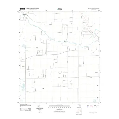
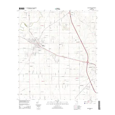
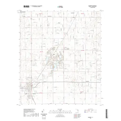
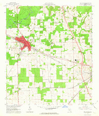 1962 High Springs1963 Print · USGSHigh Springs and its surrounding rail corridors are captured here in the early sixties, as the region's transportation and agricultural networks were fully matured. Genealogists and local historians can trace rural family landmarks like Traxier Ch, Asberry Cem, and the springs along the Santa Fe River.5 unique versions available
 - 1968 Map of Waters Lake, 1970 Print
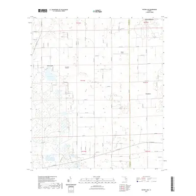
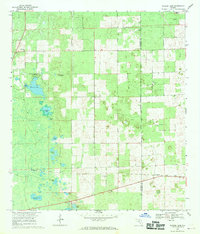 1968 Waters Lake1970 Print · USGSFlorida's northern interior at the end of the 1960s reveals a landscape of isolated farmsteads and scattered rural churches along the Gilchrist Co border. Genealogists and local historians can trace family ties to Center Hill Cem or the small community of Buda near the Seaboard Coast Line.3 unique versions available
 - 1968 Map of Newberry, 1970 Print
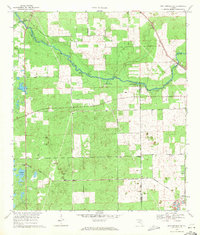
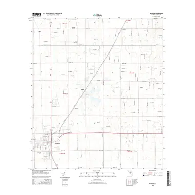
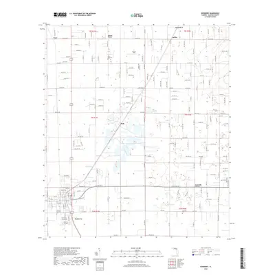
 1968 Newberry1970 Print · USGSAlachua County in the late sixties reveals a landscape of limestone extraction and rural crossroads communities. Genealogists and historians can locate family landmarks like Forest Grove Cem, the community of Haile, and numerous industrial quarries along the SEABOARD COAST LINE.4 unique versions available
 - 1969 Map of High Springs SW, 1971 Print
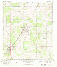
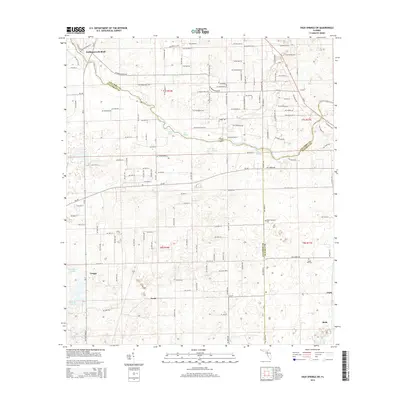
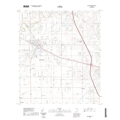
 1969 High Springs SW1971 Print · USGSThe riverfronts of Gilchrist and Columbia counties are captured here in the late sixties, as the Santa Fe River winds past numerous natural springs. Trace the rural railroad settlements of Buda and Neals or locate family history at Nobel Hill Cem.3 unique versions available
 - 1981 Map of Gainesville, 1982 Print
 1981 Gainesville1982 Print · USGSGainesville and its surrounding North Central Florida counties are captured in the early eighties, showcasing a mix of university growth and rural agriculture. Genealogists and historians can trace small settlements like Arredondo, Wacahoota, and Island Grove alongside major rail lines like the Seaboard Coast Line.2 unique versions available
 - 2012 Map of High Springs SW, 2012 Print
 2012 High Springs SW2012 Print · USGSCovers High Springs, including Hollingsworth Bluff, Craggs, and other nearby areas
 - 2012 Map of High Springs, 2012 Print
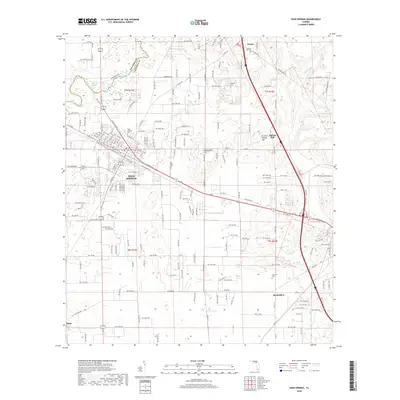
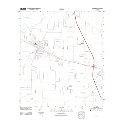 2012 High Springs2012 Print · USGSCovers High Springs, including Alachua, Arno, and other nearby areas
 - 2012 Map of Waters Lake, 2012 Print
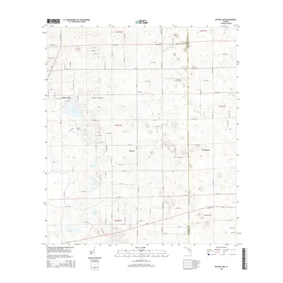
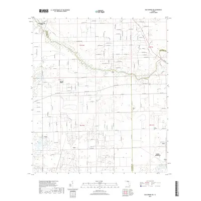
 2012 Waters Lake2012 Print · USGSCovers High Springs, including Newberry, Thames, and other nearby areas
 - 2012 Map of Newberry, 2012 Print
 2012 Newberry2012 Print · USGSCovers High Springs, including Alachua, Newberry, and other nearby areas
 - 2015 Map of Waters Lake, 2015 Print
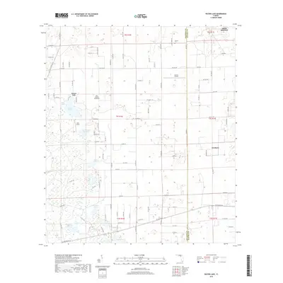
 2015 Waters Lake2015 Print · USGSCovers High Springs, including Newberry, Thames, and other nearby areas
 - 2015 Map of Newberry, 2015 Print
 2015 Newberry2015 Print · USGSCovers High Springs, including Alachua, Newberry, and other nearby areas
 - 2015 Map of High Springs, 2015 Print
 2015 High Springs2015 Print · USGSCovers High Springs, including Alachua, Arno, and other nearby areas
 - 2015 Map of High Springs SW, 2015 Print
 2015 High Springs SW2015 Print · USGSCovers High Springs, including Hollingsworth Bluff, Craggs, and other nearby areas
 - 2018 Map of High Springs, 2018 Print
 2018 High Springs2018 Print · USGSCovers High Springs, including Alachua, Arno, and other nearby areas
 - 2018 Map of High Springs SW, 2018 Print
 2018 High Springs SW2018 Print · USGSCovers High Springs, including Hollingsworth Bluff, Craggs, and other nearby areas
 - 2018 Map of Waters Lake, 2018 Print
 2018 Waters Lake2018 Print · USGSCovers High Springs, including Newberry, Thames, and other nearby areas
 - 2018 Map of Newberry, 2018 Print
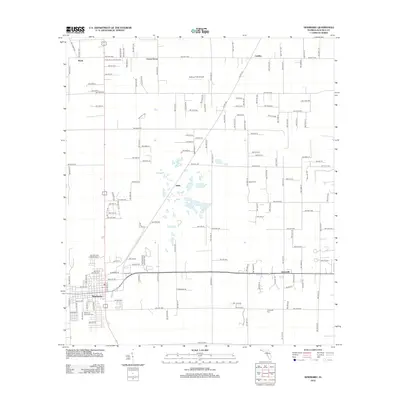
 2018 Newberry2018 Print · USGSCovers High Springs, including Alachua, Newberry, and other nearby areas
 - 2021 Map of Newberry, 2021 Print
 2021 Newberry2021 Print · USGSCovers High Springs, including Alachua, Newberry, and other nearby areas
 - 2021 Map of High Springs, 2021 Print
 2021 High Springs2021 Print · USGSCovers High Springs, including Alachua, Arno, and other nearby areas
 - 2021 Map of Waters Lake, 2021 Print
 2021 Waters Lake2021 Print · USGSCovers High Springs, including Newberry, Thames, and other nearby areas
 - 2021 Map of High Springs SW, 2021 Print
 2021 High Springs SW2021 Print · USGSCovers High Springs, including Hollingsworth Bluff, Craggs, and other nearby areas
 - 2024 Map of Waters Lake, 2024 Print
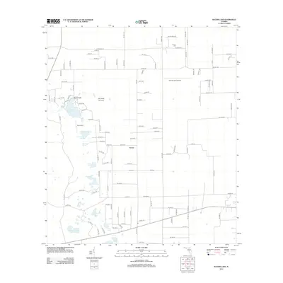
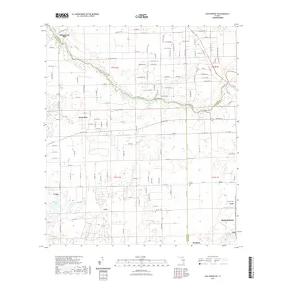
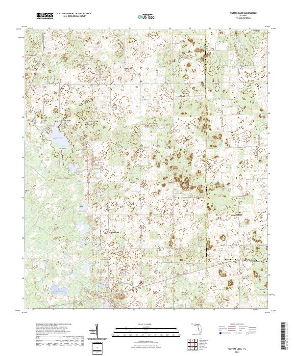 2024 Waters Lake2024 Print · USGSFlorida's wetlands and rural timberlands come into focus in this contemporary survey of the Gilchrist and Alachua county line. Researchers can locate isolated landmarks like Osceola Cem, Oak Tree Landing, and various family-named features including Knighting Lake.
Showing maps 1-25 of 28
Top cities near High Springs
- Gainesville historical maps
- Alachua historical maps
- Newberry historical maps
- Lake Butler historical maps
- Trenton historical maps
- Fort White historical maps
See more
Top neighborhoods of High Springs
Frequently asked questions
- What are the different types of historical maps available for High Springs?
- What is the oldest map of High Springs?
- Where can I purchase historical maps of High Springs for my home or office?
- Where can I download high-res historical maps of High Springs?
- Are there historical topographic maps available for High Springs?
- Is there historical aerial imagery available for High Springs?
- Where are historical maps of High Springs sourced from?