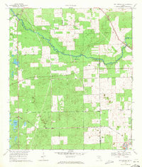
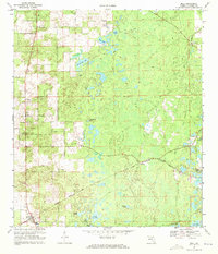
1969 Map of High Springs SW
USGS Topo · Published 1971About this map
The Santa Fe River carves a winding path along the northern boundary of this North Florida landscape, defining the borders between Gilchrist and Columbia counties. This riparian corridor is punctuated by numerous groundwater features, including Ginnie Spring, July Spring, Blue Springs, and Lilly Spring, alongside larger natural formations like Rum Island and Hollingsworth Bluff. The presence of these many springs suggests the area's significance for both local hydrology and recreation during the late 1960s.
Find a feature on this map
19 named features on this map. Tap any name to fly to it.
Don’t see what you’re looking for? This feature index may not catch every label — zoom into the map to look around manually.
Map Details
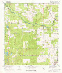
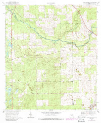
Editions of this 1969 High Springs SW Map
Other maps of this area

1954 · Gainesville
USGS Topo · 1:250,000

1958 · Gainesville
USGS Topo · 1:250,000

1959 · Gainesville
USGS Topo · 1:250,000

1962 · High Springs
USGS Topo · 1:24,000

1962 · Mikesville
USGS Topo · 1:24,000

1968 · Waters Lake
USGS Topo · 1:24,000

1968 · Newberry
USGS Topo · 1:24,000

1968 · Fourmile Lake
USGS Topo · 1:24,000
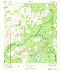
1968 · Hildreth
USGS Topo · 1:24,000
1968 · Bell
USGS Topo · 1:24,000