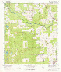
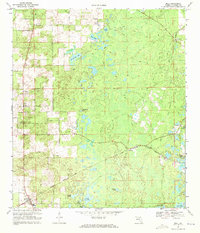
1969 Map of High Springs SW
USGS Topo · Published 1977About this map
The Santa Fe River carves a winding path through the borderlands of Gilchrist, Columbia, and Alachua Counties, defining a landscape punctuated by a remarkable concentration of groundwater features. Natural vents like Ginnie Spring, Blue Springs, Lilly Spring, and Poe Spring emerge along the riverbanks, illustrating the region's unique hydrogeology. Further south, the terrain transitions to a patchwork of agricultural clearings and small rural settlements such as Craggs and Neals, which developed alongside the Seaboard Coast Line railroad.
Find a feature on this map
21 named features on this map. Tap any name to fly to it.
Don’t see what you’re looking for? This feature index may not catch every label — zoom into the map to look around manually.
Map Details
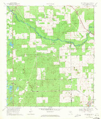
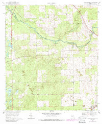
Editions of this 1969 High Springs SW Map
Other maps of this area

1954 · Gainesville
USGS Topo · 1:250,000

1958 · Gainesville
USGS Topo · 1:250,000

1959 · Gainesville
USGS Topo · 1:250,000

1962 · High Springs
USGS Topo · 1:24,000

1962 · Mikesville
USGS Topo · 1:24,000

1968 · Waters Lake
USGS Topo · 1:24,000

1968 · Newberry
USGS Topo · 1:24,000

1968 · Fourmile Lake
USGS Topo · 1:24,000
1968 · Hildreth
USGS Topo · 1:24,000
1968 · Bell
USGS Topo · 1:24,000