
1968 Map of Waters Lake
USGS Topo · Published 1970About this map
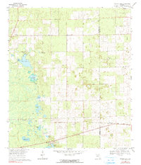
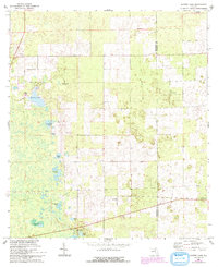
Waters Lake and its surrounding wetlands dominate the western landscape of this 1968 survey, where a patchwork of ponds and lake basins such as Knighting Lake and Christmas Lake break up the north Florida terrain. In the late 1960s, the rural character of the Gilchrist Co and Alachua Co border is defined by scattered religious and community landmarks, including Center Hill Ch, Corinth Ch, and Union Ch. The map captures a moment of transition in transportation, showing both the active Seaboard Coast Line railroad and an Old Railroad Grade further north. Cultural heritage is rooted in locations like Osceola Cem and the small settlement of Buda, while the diverse ecology of the region is represented by the Dry Prairie Hammock and numerous smaller water bodies like Dinner Pond.
Find a feature on this map
25 named features on this map. Tap any name to fly to it.
Don’t see what you’re looking for? This feature index may not catch every label — zoom into the map to look around manually.
Map Details
Editions of this 1968 Waters Lake Map
3 editions found
Other maps of this area

1954 · Gainesville
USGS Topo · 1:250,000

1958 · Gainesville
USGS Topo · 1:250,000

1959 · Gainesville
USGS Topo · 1:250,000

1962 · High Springs
USGS Topo · 1:24,000

1968 · Newberry SW
USGS Topo · 1:24,000
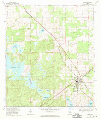
1968 · Archer
USGS Topo · 1:24,000

1968 · Newberry
USGS Topo · 1:24,000

1968 · Fourmile Lake
USGS Topo · 1:24,000

1968 · Trenton
USGS Topo · 1:24,000
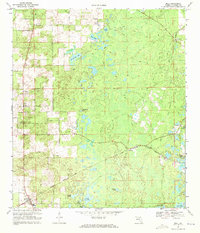
1968 · Bell
USGS Topo · 1:24,000