2020s Maps of Bay County, Florida
Explore 50 historic maps of Bay County from the 2020s. These maps offer a rare glimpse into what life looked like during the 2020s — showing old roads, neighborhoods, homes, and landmarks that have changed or disappeared over time.
Whether you're researching your family's past, planning a metal detecting trip, or studying how Bay County's landscape evolved across the 2020s, these high-resolution maps are a powerful tool for exploring the history of this region.
- Focus on a specific era: All maps on this page are from the 2020s, giving you a focused view of this time period.
- See what’s changed: Compare century-old streets, trails, and buildings to today's modern landscape using overlays and satellite layers.
- Research with precision: Use these maps for genealogy, historical research, land use analysis, or educational projects.
- View, download, or print: Maps are fully viewable online in high resolution, and can be downloaded or printed for your own records.
Start exploring Bay County's history through authentic maps from the 2020s. This is your window into the past.
Bay County, FL maps
(50)- 2021 Map of Crooked Island, 2021 Print
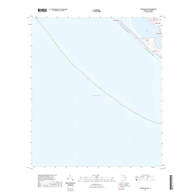 2021 Crooked Island2021 Print · USGSCoastal Bay County is defined by its shifting barrier sands and tidal basins in this recent survey. Maritime researchers can trace the shoreline of Crooked Island and the interior waters of Saint Andrew Sound and Wild Goose Lagoon.
 - 2021 Map of Beacon Hill, 2021 Print
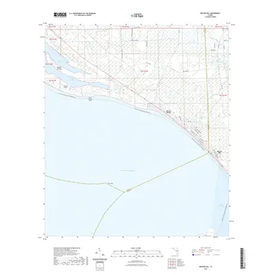 2021 Beacon Hill2021 Print · USGSThe Florida Panhandle coastline comes into focus in this contemporary survey of the Bay and Gulf county border. Local researchers can trace the coastal development of Mexico Beach and Beacon Hill alongside landmarks like Wild Goose Lagoon and the Intracoastal Waterway.
 - 2021 Map of Panama City Beach, 2021 Print
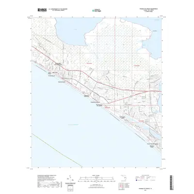 2021 Panama City Beach2021 Print · USGSPanama City Beach and the surrounding Emerald Coast are captured here in the early twenty-first century as a bustling network of vacation resorts and residential communities. Researchers can trace the layout of coastal neighborhoods like Bid-A-Wee and Gulf Lagoon Beach or follow the route of the Florida Circumnavigational Paddling Trl along the shoreline.
 - 2021 Map of Beacon Beach, 2021 Print
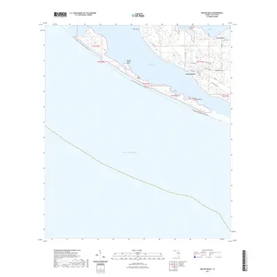 2021 Beacon Beach2021 Print · USGSThe Bay County coastline in the early 2020s is defined by the barrier of Shell Island and the residential reaches of Beacon Beach. Researchers can trace local landmarks like Marywood Cem and the small settlement at Cromanton.
 - 2021 Map of North of Allanton, 2021 Print
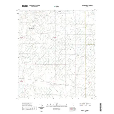 2021 North of Allanton2021 Print · USGSThe outskirts of Panama City meet the rural edges of Bay and Calhoun Counties in this modern survey of the Florida panhandle. Researchers can locate family landmarks like the Kent Family Cem or trace the winding paths of Bayou George and Cooks Bayou.
 - 2021 Map of Bennett, 2021 Print
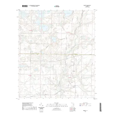 2021 Bennett2021 Print · USGSNorthwest Florida's pine woods and spring-fed basins are mapped here in the early twenty-first century, showing the rural communities of Bennett and Econfina. Genealogists and historians can locate the Porter Cem, trace the Mitchell Mill Br, and explore the winding paths of the Florida National Scenic Trl.
 - 2021 Map of Laguna Beach, 2021 Print
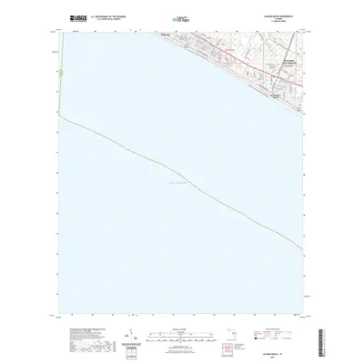 2021 Laguna Beach2021 Print · USGSPanama City Beach and its coastal neighbors are captured here during a period of significant growth along the Gulf of Mexico. Researchers can trace the development of residential streets and recreational corridors like the Great Nw Coastal Trail Corridor Trl near Sunnyside and Gulf Resort Beach.
 - 2021 Map of Springfield, 2021 Print
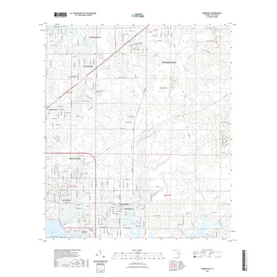 2021 Springfield2021 Print · USGSCoastal Bay County is mapped here during its modern era of suburban expansion and maritime activity. Researchers can trace local landmarks like Old Callaway and the Evergreen Memorial Gardens or follow the Bay Line RR as it approaches the bay.
 - 2021 Map of Fountain, 2021 Print
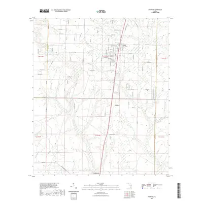 2021 Fountain2021 Print · USGSThe Florida Panhandle near the meeting of Washington and Calhoun counties shows a landscape of small rural settlements and extensive creek networks. Researchers can trace the development of Fountain and Youngstown, while locating landmarks like Bear Pond and Mitchell Mill Cr.
 - 2021 Map of Seminole Hills, 2021 Print
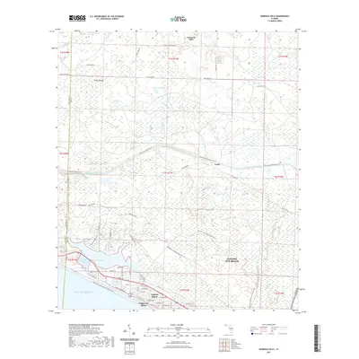 2021 Seminole Hills2021 Print · USGSPanama City Beach and the surrounding Gulf coast communities are captured here in the early twenty-first century. Researchers can trace the development of beachfront neighborhoods like Laguna Beach and Hollywood Beach or explore the wetlands around Powell Lake and Doe Head Swamp.
 - 2021 Map of Youngstown, 2021 Print
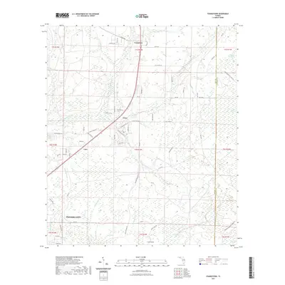 2021 Youngstown2021 Print · USGSUpper Bay County near the Calhoun County line is seen here in recent years, where small communities like Youngstown and Nixon are surrounded by dense wetlands. Researchers can trace local drainage systems and historical sites like Old Camp Four Swamp, Crash Island, and Bird Pond Slough.
 - 2021 Map of Bruce, 2021 Print
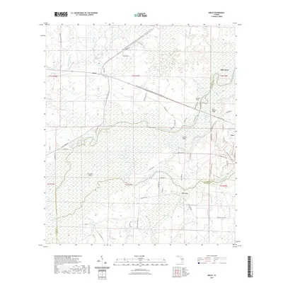 2021 Bruce2021 Print · USGSThe Florida panhandle comes into focus in this recent survey of the Choctawhatchee River lowlands and its surrounding pine forests. Researchers can trace local landmarks and timber-era routes like Gum Lock Cemetary Rd, the community of Bruce, and Cowford Island.
 - 2021 Map of Allanton, 2021 Print
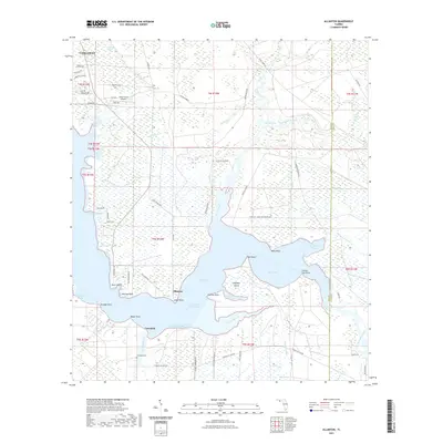 2021 Allanton2021 Print · USGSThe northern Gulf Coast comes alive in this survey of the area where East Bay meets the Intracoastal Waterway. Local historians can trace the shoreline of Allanton, locate the Farmdale Cem, and explore the wetlands surrounding Wetappo Creek.
 - 2021 Map of Compass Lake, 2021 Print
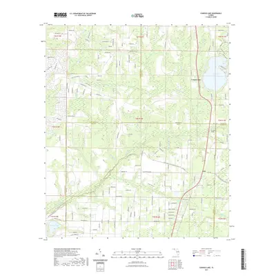 2021 Compass Lake2021 Print · USGSFlorida's Panhandle interior near the Jackson and Washington county lines reveals a landscape of spring-fed waters and rural outposts. Trace family roots and local geography through Compass Lake, the Betts settlement, and crossings like Econfina Bridge.
 - 2021 Map of West Bay, 2021 Print
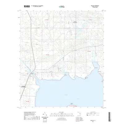 2021 West Bay2021 Print · USGSCoastal Bay County is captured here in the early 2020s, showing the convergence of new aviation infrastructure and traditional maritime waterways. Researchers can trace the shoreline from Goon Point to Walsonham Point or locate residential growth near West Bay and Ward Creek.
 - 2021 Map of Long Point, 2021 Print
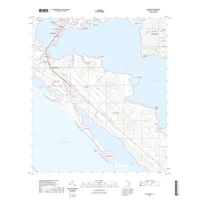 2021 Long Point2021 Print · USGSThe Florida coast near Panama City comes into focus during this period of military and residential expansion. Genealogists and historians can trace neighborhood developments in Parker and Callaway or locate landmarks like the DuPont Bridge and Tyndall AFB.
 - 2021 Map of Southport, 2021 Print
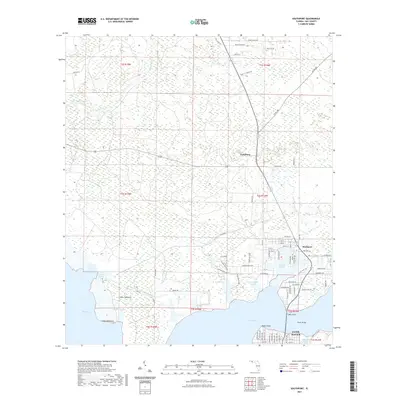 2021 Southport2021 Print · USGSThe coastal transition of Bay County is captured here at the start of the 2020s, showcasing the intricate shoreline of the Florida Panhandle. Researchers can trace the development of Southport and Lynn Haven alongside landmarks like Cedar Hammock and Mill Point.
 - 2021 Map of Bayhead, 2021 Print
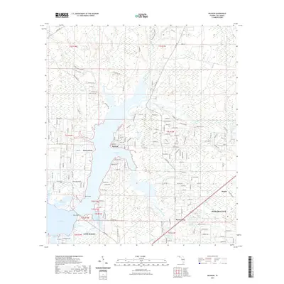 2021 Bayhead2021 Print · USGSBay County's coastal interface comes to life in this recent study of the settlements and bayous north of the city. Genealogists and local historians can trace modern property lines and neighborhood growth in Bayhead, Resota Beach, and Majette.
 - 2021 Map of Red Head, 2021 Print
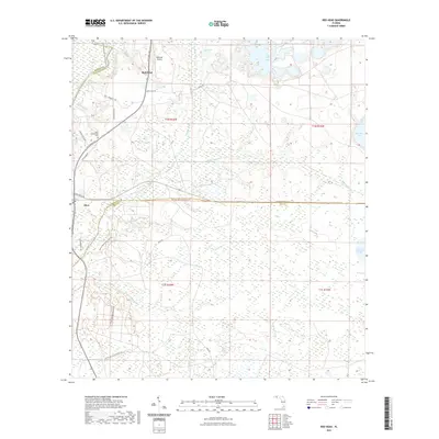 2021 Red Head2021 Print · USGSNorthwest Florida's riverine corridor comes into focus here in the early 2020s, centered on the Choctawhatchee River and the rural communities of Red Head and Ebro. Genealogists and hikers can trace the Ebro Community Cem and the path of the Florida National Scenic Trl through the pine forests.
 - 2021 Map of Crystal Lake, 2021 Print
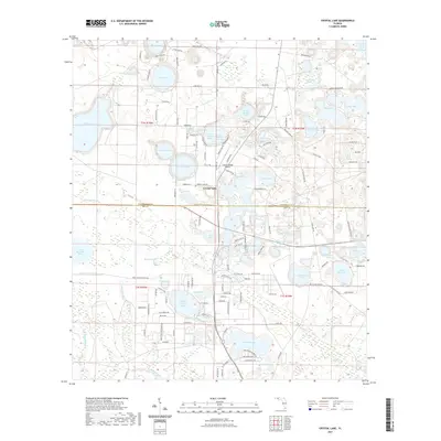 2021 Crystal Lake2021 Print · USGSThe Florida Panhandle's lake country is captured here in the early twenty-first century, showing the developed shorelines of Washington and Bay counties. Genealogists and local historians can trace residential growth around Crystal Lake, Compass Lake, and the winding Shoreline Dr.
 - 2021 Map of Panama City, 2021 Print
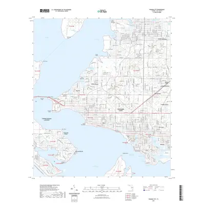 2021 Panama City2021 Print · USGSPanama City and the bayous of Saint Andrew Bay are shown in high detail during the early 2020s. Local researchers can trace family landmarks and neighborhoods from Lynn Haven to Millville, including sites like Greenwood Cem and the Bay County Courthouse.
 - 2024 Map of West Bay, 2024 Print
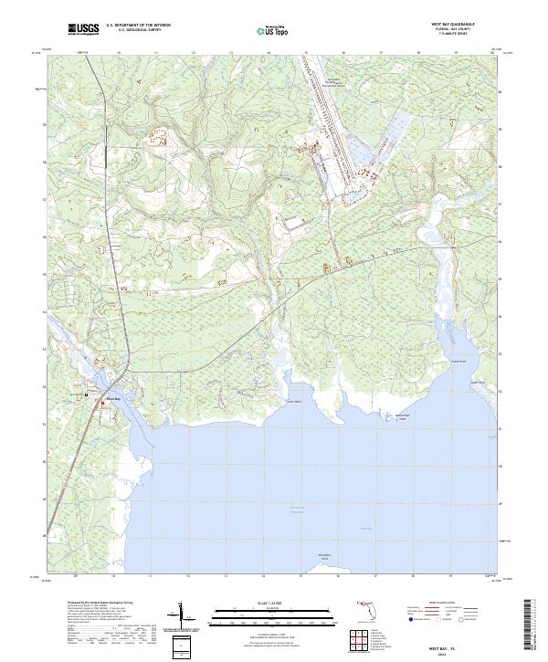 2024 West Bay2024 Print · USGSThe coastal community of West Bay and the surrounding Florida wetlands are shown here in the early 2020s. Researchers can locate local landmarks like the West Bay Cem and trace the winding paths of Crooked Creek and the Intracoastal Waterway.
 - 2024 Map of Laguna Beach, 2024 Print
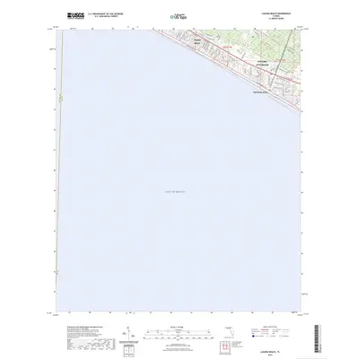 2024 Laguna Beach2024 Print · USGSCoastal development along the Florida Panhandle is captured in this survey of Laguna Beach and Panama City Beach. Genealogists and residents can trace property lines along Front Beach Rd or locate community landmarks near Gulf Resort Beach.
 - 2024 Map of Fountain, 2024 Print
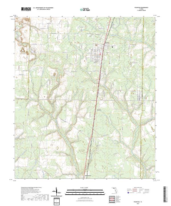 2024 Fountain2024 Print · USGSBay County's rural northern landscape is captured in the modern era, showing the communities of Fountain and Youngstown as they exist today. Researchers can trace local landmarks and watercourses including the Fountain Cem, Bear Pond, and Mitchell Mill Creek.
 - 2024 Map of Bennett, 2024 Print
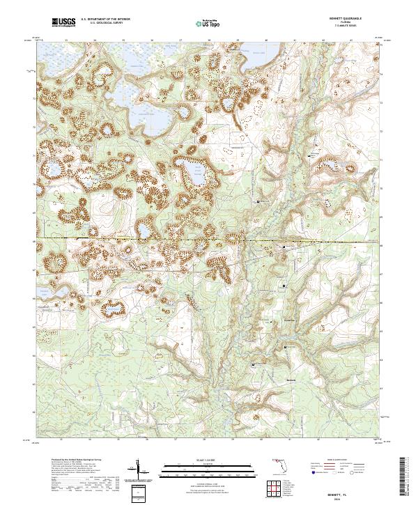 2024 Bennett2024 Print · USGSThe Florida Panhandle's river-cut lowlands and small settlements are documented here in recent years. Genealogists and researchers can trace lineage-named sites and burial grounds such as McQuagge - Harris Cem, Watts Gainer Cem, and the old settlement of Econfina.
Showing maps 1-25 of 50
Top cities of Bay County
- Panama City historical maps
- Upper Grand Lagoon historical maps
- Lynn Haven historical maps
- Callaway historical maps
- Panama City Beach historical maps
- Springfield historical maps
See more
Frequently asked questions
- What are the different types of historical maps available for Bay County?
- What is the oldest map of Bay County?
- Where can I purchase historical maps of Bay County for my home or office?
- Where can I download high-res historical maps of Bay County?
- Are there historical topographic maps available for Bay County?
- Is there historical aerial imagery available for Bay County?
- Where are historical maps of Bay County sourced from?