2000s (21st Century) Maps of Panama City, Florida
Explore 26 historic maps of Panama City from the 2000s (21st Century). These maps offer a rare glimpse into what life looked like during the 2000s — showing old roads, neighborhoods, homes, and landmarks that have changed or disappeared over time.
Whether you're researching your family's past, planning a metal detecting trip, or studying how Panama City's landscape evolved across the 2000s, these high-resolution maps are a powerful tool for exploring the history of this region.
- Focus on a specific era: All maps on this page are from the 2000s, giving you a focused view of this time period.
- See what’s changed: Compare century-old streets, trails, and buildings to today's modern landscape using overlays and satellite layers.
- Research with precision: Use these maps for genealogy, historical research, land use analysis, or educational projects.
- View, download, or print: Maps are fully viewable online in high resolution, and can be downloaded or printed for your own records.
Start exploring Panama City's history through authentic maps from the 2000s. This is your window into the past.
Panama City, FL maps
(26)- 2012 Map of North of Allanton, 2012 Print
 2012 North of Allanton2012 Print · USGSCovers Panama City, including Bay County, Gulf County, and other nearby areas
 - 2012 Map of Panama City, 2012 Print
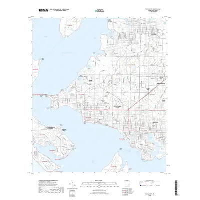
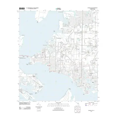 2012 Panama City2012 Print · USGSCovers Panama City, including Upper Grand Lagoon, Lynn Haven, and other nearby areas
 - 2012 Map of Springfield, 2012 Print
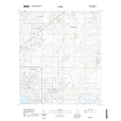
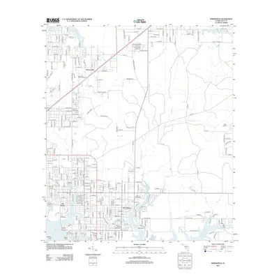 2012 Springfield2012 Print · USGSCovers Panama City, including Lynn Haven, Callaway, and other nearby areas
 - 2012 Map of Bayhead, 2012 Print
 2012 Bayhead2012 Print · USGSCovers Panama City, including Lynn Haven, Bayhead, and other nearby areas
 - 2012 Map of Youngstown, 2012 Print
 2012 Youngstown2012 Print · USGSCovers Panama City, including Nixon, Youngstown, and other nearby areas
 - 2015 Map of North of Allanton, 2015 Print
 2015 North of Allanton2015 Print · USGSCovers Panama City, including Bay County, Gulf County, and other nearby areas
 - 2015 Map of Springfield, 2015 Print
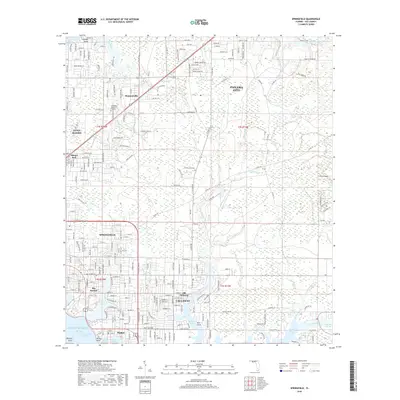
 2015 Springfield2015 Print · USGSCovers Panama City, including Lynn Haven, Callaway, and other nearby areas
 - 2015 Map of Youngstown, 2015 Print
 2015 Youngstown2015 Print · USGSCovers Panama City, including Nixon, Youngstown, and other nearby areas
 - 2015 Map of Bayhead, 2015 Print
 2015 Bayhead2015 Print · USGSCovers Panama City, including Lynn Haven, Bayhead, and other nearby areas
 - 2015 Map of Panama City, 2015 Print
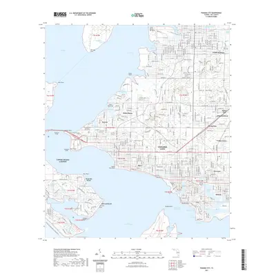
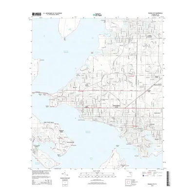 2015 Panama City2015 Print · USGSCovers Panama City, including Upper Grand Lagoon, Lynn Haven, and other nearby areas
 - 2018 Map of North of Allanton, 2018 Print
 2018 North of Allanton2018 Print · USGSCovers Panama City, including Bay County, Gulf County, and other nearby areas
 - 2018 Map of Bayhead, 2018 Print
 2018 Bayhead2018 Print · USGSCovers Panama City, including Lynn Haven, Bayhead, and other nearby areas
 - 2018 Map of Springfield, 2018 Print
 2018 Springfield2018 Print · USGSCovers Panama City, including Lynn Haven, Callaway, and other nearby areas
 - 2018 Map of Panama City, 2018 Print
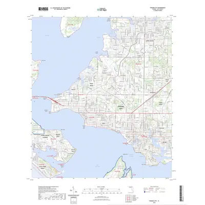
 2018 Panama City2018 Print · USGSCovers Panama City, including Upper Grand Lagoon, Lynn Haven, and other nearby areas
 - 2018 Map of Youngstown, 2018 Print
 2018 Youngstown2018 Print · USGSCovers Panama City, including Nixon, Youngstown, and other nearby areas
 - 2021 Map of North of Allanton, 2021 Print
 2021 North of Allanton2021 Print · USGSCovers Panama City, including Bay County, Gulf County, and other nearby areas
 - 2021 Map of Springfield, 2021 Print
 2021 Springfield2021 Print · USGSCovers Panama City, including Lynn Haven, Callaway, and other nearby areas
 - 2021 Map of Youngstown, 2021 Print
 2021 Youngstown2021 Print · USGSCovers Panama City, including Nixon, Youngstown, and other nearby areas
 - 2021 Map of Bayhead, 2021 Print
 2021 Bayhead2021 Print · USGSCovers Panama City, including Lynn Haven, Bayhead, and other nearby areas
 - 2021 Map of Panama City, 2021 Print
 2021 Panama City2021 Print · USGSCovers Panama City, including Upper Grand Lagoon, Lynn Haven, and other nearby areas
 - 2024 Map of Youngstown, 2024 Print
 2024 Youngstown2024 Print · USGSIn the Florida Panhandle, this map shows the rural communities of Youngstown and Nixon as they sit amidst the wetlands north of the coast. Genealogists and local historians can locate the Youngstown Cemetery and trace the many watercourses like Bear Creek and Bayou George.
 - 2024 Map of North of Allanton, 2024 Print
 2024 North of Allanton2024 Print · USGSPanama City's eastern edge meets the coastal wetlands of Bay County in this modern survey of a landscape defined by water and woods. Genealogists and local historians can locate the Kent Family Cem or trace the winding paths of Cooks Bayou and Sandy Creek.
 - 2024 Map of Panama City, 2024 Print
 2024 Panama City2024 Print · USGSCovers Panama City, including Upper Grand Lagoon, Lynn Haven, and other nearby areas
 - 2024 Map of Springfield, 2024 Print
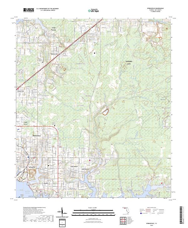 2024 Springfield2024 Print · USGSThe Springfield and Callaway area near East Bay is shown here in the 2020s, highlighting the region's dense residential growth and tidal geography. Researchers can find old family burial grounds at Parker Cem and Callaway Cem, or trace the shoreline around Old Callaway and Laird Bayou.
 - 2024 Map of Bayhead, 2024 Print
 2024 Bayhead2024 Print · USGSBay County's coastal bayous and expanding lakeside communities are captured here in the mid-2020s as residential growth meets the water's edge. Researchers can trace local heritage and land use near Deer Point Lake, from the Cedar Cem to the settlements of Bayhead and Majette.
Showing maps 1-25 of 26
Top cities near Panama City
- Upper Grand Lagoon historical maps
- Lynn Haven historical maps
- Callaway historical maps
- Panama City Beach historical maps
- Springfield historical maps
- Parker historical maps
See more
Top neighborhoods of Panama City
- Saint Andrew historical maps
- Baker historical maps
- Glenwood historical maps
- Millville historical maps
- Cove historical maps
- Sweet Bay historical maps
See more
Frequently asked questions
- What are the different types of historical maps available for Panama City?
- What is the oldest map of Panama City?
- Where can I purchase historical maps of Panama City for my home or office?
- Where can I download high-res historical maps of Panama City?
- Are there historical topographic maps available for Panama City?
- Is there historical aerial imagery available for Panama City?
- Where are historical maps of Panama City sourced from?