2020s Maps of Calhoun County, Florida
Explore 36 historic maps of Calhoun County from the 2020s. These maps offer a rare glimpse into what life looked like during the 2020s — showing old roads, neighborhoods, homes, and landmarks that have changed or disappeared over time.
Whether you're researching your family's past, planning a metal detecting trip, or studying how Calhoun County's landscape evolved across the 2020s, these high-resolution maps are a powerful tool for exploring the history of this region.
- Focus on a specific era: All maps on this page are from the 2020s, giving you a focused view of this time period.
- See what’s changed: Compare century-old streets, trails, and buildings to today's modern landscape using overlays and satellite layers.
- Research with precision: Use these maps for genealogy, historical research, land use analysis, or educational projects.
- View, download, or print: Maps are fully viewable online in high resolution, and can be downloaded or printed for your own records.
Start exploring Calhoun County's history through authentic maps from the 2020s. This is your window into the past.
Calhoun County, FL maps
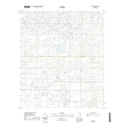
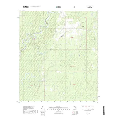
(36)- 2021 Map of Bristol, 2021 Print
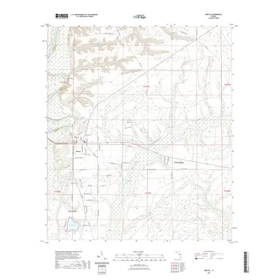 2021 Bristol2021 Print · USGSCovers Calhoun County, including Bristol, White Springs, and other nearby areas
 - 2021 Map of Rock Bluff, 2021 Print
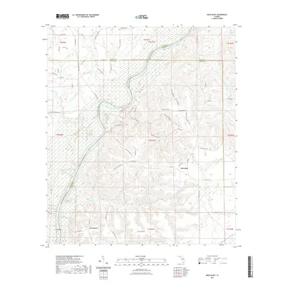 2021 Rock Bluff2021 Print · USGSCovers Calhoun County, including Rock Bluff, Sweetwater, and other nearby areas
 - 2021 Map of Juniper Creek, 2021 Print
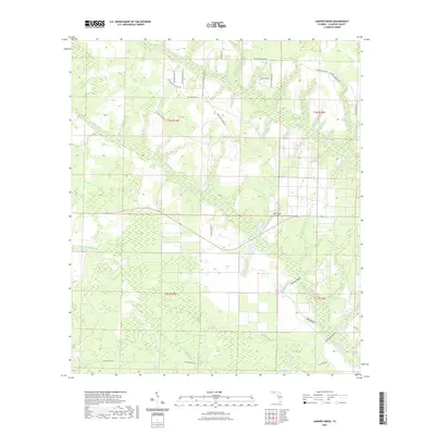 2021 Juniper Creek2021 Print · USGSCovers Calhoun County, including United States, Florida, and other nearby areas
 - 2021 Map of North of Allanton, 2021 Print
 2021 North of Allanton2021 Print · USGSCovers Calhoun County, including Panama City, Bay County, and other nearby areas
 - 2021 Map of Dead Lakes, 2021 Print
 2021 Dead Lakes2021 Print · USGSCovers Calhoun County, including Wewahitchka, Iola, and other nearby areas
 - 2021 Map of Fountain, 2021 Print
 2021 Fountain2021 Print · USGSCovers Calhoun County, including Fountain, Bay County, and other nearby areas
 - 2021 Map of Blountstown, 2021 Print
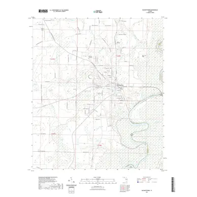 2021 Blountstown2021 Print · USGSCovers Calhoun County, including Blountstown, Pine Island, and other nearby areas
 - 2021 Map of Alford SE, 2021 Print
 2021 Alford SE2021 Print · USGSCovers Calhoun County, including Jackson County, United States, and other nearby areas
 - 2021 Map of Youngstown, 2021 Print
 2021 Youngstown2021 Print · USGSCovers Calhoun County, including Panama City, Nixon, and other nearby areas
 - 2021 Map of Tenmile Swamp, 2021 Print
 2021 Tenmile Swamp2021 Print · USGSCovers Calhoun County, including Wetappo, Gulf County, and other nearby areas
 - 2021 Map of Broad Branch, 2021 Print
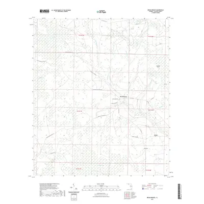 2021 Broad Branch2021 Print · USGSCovers Calhoun County, including Broad Branch, Kinard, and other nearby areas
 - 2021 Map of Clarksville, 2021 Print
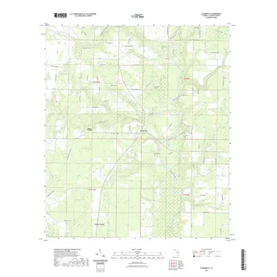 2021 Clarksville2021 Print · USGSCovers Calhoun County, including Rollins Corner, Clarksville, and other nearby areas
 - 2021 Map of Compass Lake, 2021 Print
 2021 Compass Lake2021 Print · USGSCovers Calhoun County, including Compass Lake, Betts, and other nearby areas
 - 2021 Map of Frink, 2021 Print
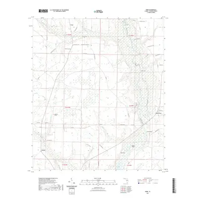 2021 Frink2021 Print · USGSCovers Calhoun County, including Scotts Ferry, Abe Springs, and other nearby areas
 - 2021 Map of Altha West, 2021 Print
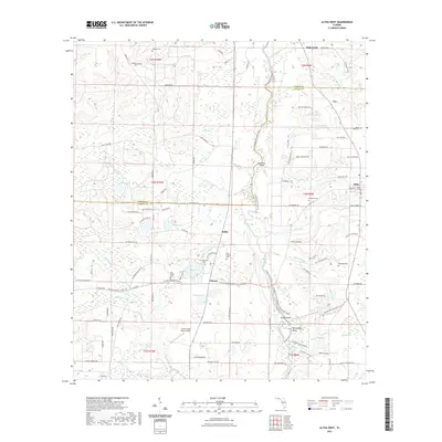 2021 Altha West2021 Print · USGSCovers Calhoun County, including Altha, Sink Creek, and other nearby areas
 - 2021 Map of Altha East, 2021 Print
 2021 Altha East2021 Print · USGSCovers Calhoun County, including Altha, Selman, and other nearby areas
 - 2021 Map of Orange, 2021 Print
 2021 Orange2021 Print · USGSCovers Calhoun County, including Larkin Fish Camp, Orange, and other nearby areas
 - 2021 Map of Estiffanulga, 2021 Print
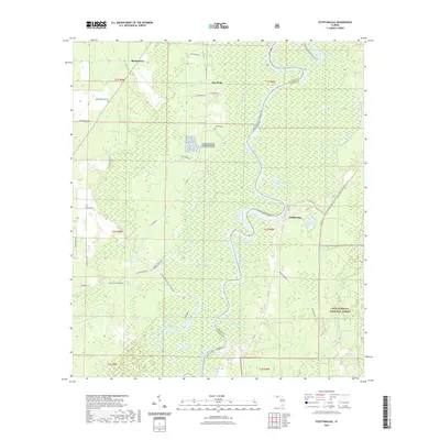 2021 Estiffanulga2021 Print · USGSCovers Calhoun County, including Sharpstown, New Hope, and other nearby areas
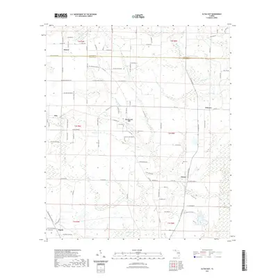
 - 2024 Map of Altha West, 2024 Print
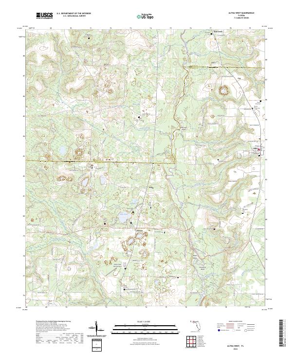 2024 Altha West2024 Print · USGSNorth of the Florida Panhandle's larger hubs, this 2024 landscape reveals a mosaic of small farming settlements and family cemeteries. Genealogists can trace local lineages through Maddox Cem, Farmer Family Cem, and Taylor Family Cem along the Chipola River basin.
 - 2024 Map of Frink, 2024 Print
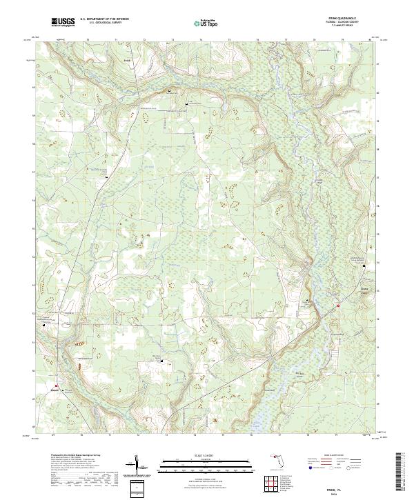 2024 Frink2024 Print · USGSCalhoun County's river-bottom lands and small settlements are documented here in the early twenty-first century. Genealogists can trace family footprints at Billy Cook Family Cem and Scotts Ferry Cem or locate the old landing at Coconut Bluff.
 - 2024 Map of Fountain, 2024 Print
 2024 Fountain2024 Print · USGSBay County's rural northern landscape is captured in the modern era, showing the communities of Fountain and Youngstown as they exist today. Researchers can trace local landmarks and watercourses including the Fountain Cem, Bear Pond, and Mitchell Mill Creek.
 - 2024 Map of Youngstown, 2024 Print
 2024 Youngstown2024 Print · USGSIn the Florida Panhandle, this map shows the rural communities of Youngstown and Nixon as they sit amidst the wetlands north of the coast. Genealogists and local historians can locate the Youngstown Cemetery and trace the many watercourses like Bear Creek and Bayou George.
 - 2024 Map of Juniper Creek, 2024 Print
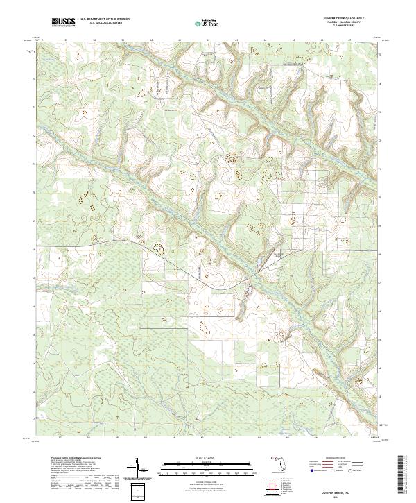 2024 Juniper Creek2024 Print · USGSCalhoun County's intricate wetlands and rural road networks are on full display in this modern survey of the Florida panhandle. Researchers can trace historical corridors like CCC Road No 16 and locate specific landmarks such as Ron Wood Airport and Big Bear Bay.
 - 2024 Map of Broad Branch, 2024 Print
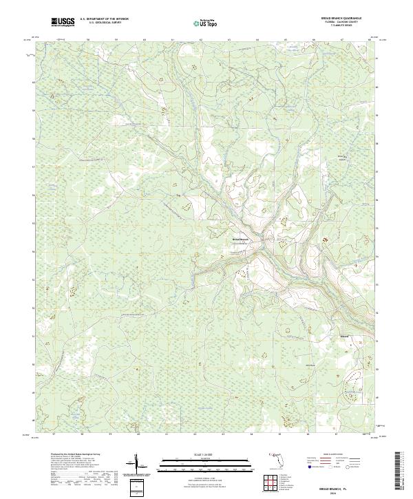 2024 Broad Branch2024 Print · USGSCalhoun County's lowland interior is documented here in the early twenty-first century, showing a landscape shaped by sprawling swamps and winding creeks. Genealogists and local historians can trace family-named roads near Broad Branch or locate sites like Kinard and Mill Point.
 - 2024 Map of Alford SE, 2024 Print
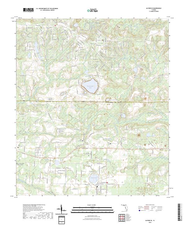 2024 Alford SE2024 Print · USGSThe Florida Panhandle interior comes into focus here at the border of Jackson and Calhoun counties. Researchers can locate family heritage sites like Stephens Family Cem and Camps Head Cem near Seventeenmile Pond.
Showing maps 1-25 of 36
Top cities of Calhoun County
Frequently asked questions
- What are the different types of historical maps available for Calhoun County?
- What is the oldest map of Calhoun County?
- Where can I purchase historical maps of Calhoun County for my home or office?
- Where can I download high-res historical maps of Calhoun County?
- Are there historical topographic maps available for Calhoun County?
- Is there historical aerial imagery available for Calhoun County?
- Where are historical maps of Calhoun County sourced from?