2020s Maps of Collier County, Florida
Explore 49 historic maps of Collier County from the 2020s. These maps offer a rare glimpse into what life looked like during the 2020s — showing old roads, neighborhoods, homes, and landmarks that have changed or disappeared over time.
Whether you're researching your family's past, planning a metal detecting trip, or studying how Collier County's landscape evolved across the 2020s, these high-resolution maps are a powerful tool for exploring the history of this region.
- Focus on a specific era: All maps on this page are from the 2020s, giving you a focused view of this time period.
- See what’s changed: Compare century-old streets, trails, and buildings to today's modern landscape using overlays and satellite layers.
- Research with precision: Use these maps for genealogy, historical research, land use analysis, or educational projects.
- View, download, or print: Maps are fully viewable online in high resolution, and can be downloaded or printed for your own records.
Start exploring Collier County's history through authentic maps from the 2020s. This is your window into the past.
Collier County, FL maps
(49)- 2024 Map of Deep Lake SW, 2024 Print
 2024 Deep Lake SW2024 Print · USGSCovers Collier County, including United States, Florida, and other nearby areas
 - 2024 Map of Felda, 2024 Print
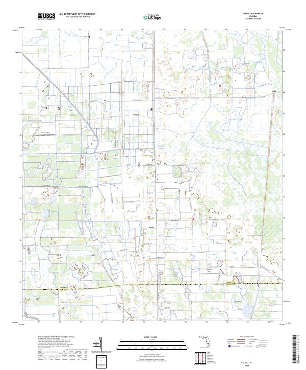 2024 Felda2024 Print · USGSCovers Collier County, including Keri, Felda, and other nearby areas
 - 2024 Map of Sunniland, 2024 Print
 2024 Sunniland2024 Print · USGSCovers Collier County, including Hendry County, United States, and other nearby areas
 - 2024 Map of Corkscrew SE, 2024 Print
 2024 Corkscrew SE2024 Print · USGSCovers Collier County, including Orangetree, United States, and other nearby areas
 - 2024 Map of North of Fiftymile Bend, 2024 Print
 2024 North of Fiftymile Bend2024 Print · USGSCovers Collier County, including United States, Florida, and other nearby areas
 - 2024 Map of Monroe Station NE, 2024 Print
 2024 Monroe Station NE2024 Print · USGSCovers Collier County, including United States, Florida, and other nearby areas
 - 2024 Map of Ochopee, 2024 Print
 2024 Ochopee2024 Print · USGSCovers Collier County, including Carnestown, Ochopee, and other nearby areas
 - 2024 Map of Corkscrew NW, 2024 Print
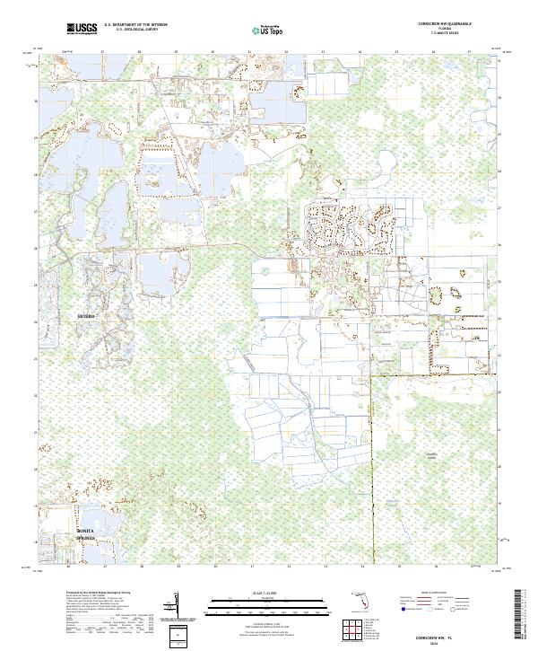 2024 Corkscrew NW2024 Print · USGSCovers Collier County, including Wildcat Run, Bella Terra, and other nearby areas
 - 2024 Map of Immokalee SW, 2024 Print
 2024 Immokalee SW2024 Print · USGSCovers Collier County, including Ave Maria, United States, and other nearby areas
 - 2024 Map of Fortymile Bend, 2024 Print
 2024 Fortymile Bend2024 Print · USGSCovers Collier County, including Miccosukee Indian Village, Smallpox Tommies Old Place, and other nearby areas
 - 2024 Map of Alva SE, 2024 Print
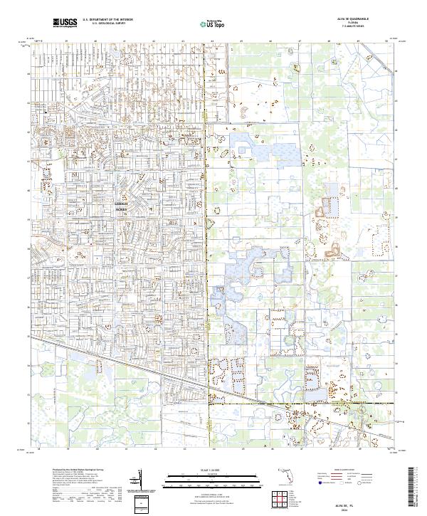 2024 Alva SE2024 Print · USGSCovers Collier County, including Lee County, Hendry County, and other nearby areas
 - 2024 Map of Immokalee NE, 2024 Print
 2024 Immokalee NE2024 Print · USGSCovers Collier County, including Hendry County, United States, and other nearby areas
 - 2024 Map of Corkscrew, 2024 Print
 2024 Corkscrew2024 Print · USGSCovers Collier County, including Ultimate Ski Lake, Corkscrew, and other nearby areas
 - 2024 Map of Doctors Hammock, 2024 Print
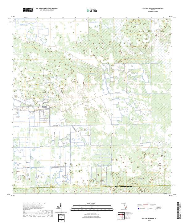 2024 Doctors Hammock2024 Print · USGSCovers Collier County, including Hendry County, United States, and other nearby areas
 - 2024 Map of Horseshoe Head, 2024 Print
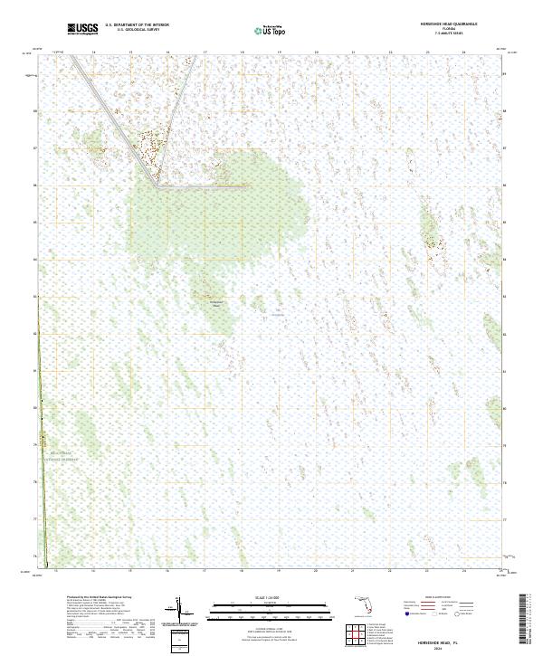 2024 Horseshoe Head2024 Print · USGSCovers Collier County, including Broward County, United States, and other nearby areas
 - 2024 Map of West of Horseshoe Head, 2024 Print
 2024 West of Horseshoe Head2024 Print · USGSCovers Collier County, including Broward County, United States, and other nearby areas
 - 2024 Map of Belle Meade NE, 2024 Print
 2024 Belle Meade NE2024 Print · USGSCovers Collier County, including United States, Florida, and other nearby areas
 - 2024 Map of Deep Lake, 2024 Print
 2024 Deep Lake2024 Print · USGSCovers Collier County, including Rock Island, Deep Lake, and other nearby areas
 - 2024 Map of Monroe Station, 2024 Print
 2024 Monroe Station2024 Print · USGSCovers Collier County, including Trailtown, Monroe County, and other nearby areas
 - 2024 Map of California Slough, 2024 Print
 2024 California Slough2024 Print · USGSCovers Collier County, including Broward County, United States, and other nearby areas
 - 2024 Map of Gator Hook Swamp, 2024 Print
 2024 Gator Hook Swamp2024 Print · USGSCovers Collier County, including Monroe County, United States, and other nearby areas
 - 2024 Map of Fiftymile Bend, 2024 Print
 2024 Fiftymile Bend2024 Print · USGSCovers Collier County, including Trail City, Trail Center, and other nearby areas
 - 2024 Map of Burns Lake, 2024 Print
 2024 Burns Lake2024 Print · USGSCovers Collier County, including United States, Florida, and other nearby areas
 - 2024 Map of Corkscrew SW, 2024 Print
 2024 Corkscrew SW2024 Print · USGSCovers Collier County, including Hunters Ridge, Bonita National Golf & Country Club, and other nearby areas
 - 2024 Map of Belle Meade SE, 2024 Print
 2024 Belle Meade SE2024 Print · USGSCovers Collier County, including United States, Florida, and other nearby areas
Showing maps 1-25 of 49
Top cities of Collier County
- Immokalee historical maps
- Immokalee historical maps
- Naples historical maps
- Marco Island historical maps
- Lely Resort historical maps
- Pelican Bay historical maps
See more
Frequently asked questions
- What are the different types of historical maps available for Collier County?
- What is the oldest map of Collier County?
- Where can I purchase historical maps of Collier County for my home or office?
- Where can I download high-res historical maps of Collier County?
- Are there historical topographic maps available for Collier County?
- Is there historical aerial imagery available for Collier County?
- Where are historical maps of Collier County sourced from?