2000s (21st Century) Maps of Collier County, Florida
Explore 255 historic maps of Collier County from the 2000s (21st Century). These maps offer a rare glimpse into what life looked like during the 2000s — showing old roads, neighborhoods, homes, and landmarks that have changed or disappeared over time.
Whether you're researching your family's past, planning a metal detecting trip, or studying how Collier County's landscape evolved across the 2000s, these high-resolution maps are a powerful tool for exploring the history of this region.
- Focus on a specific era: All maps on this page are from the 2000s, giving you a focused view of this time period.
- See what’s changed: Compare century-old streets, trails, and buildings to today's modern landscape using overlays and satellite layers.
- Research with precision: Use these maps for genealogy, historical research, land use analysis, or educational projects.
- View, download, or print: Maps are fully viewable online in high resolution, and can be downloaded or printed for your own records.
Start exploring Collier County's history through authentic maps from the 2000s. This is your window into the past.
Collier County, FL maps
(255)- 2012 Map of Thompson Pine Island, 2012 Print
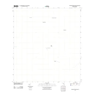 2012 Thompson Pine Island2012 Print · USGSCollier County’s interior landscape is documented here in the early twenty-first century, showcasing a transition between remote settlements and private aviation. Researchers can locate Osceolas Camp, Sugar Mill Mound, and the Calusa Ranch Airport among the named pine islands.
- 2012 Map of Immokalee, 2012 Print
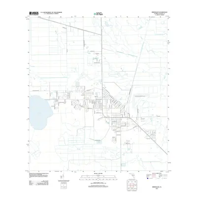 2012 Immokalee2012 Print · USGSInland Florida at the start of the 2010s reveals a structured agricultural landscape centered on the community of Immokalee. Genealogists and local historians can trace family-named routes like Oquinn Rd and Wombles Rd or locate landmarks like Lake Trafford and the PO.
- 2012 Map of Corkscrew SW, 2012 Print
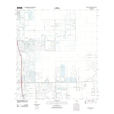 2012 Corkscrew SW2012 Print · USGSInland Lee County at the start of the 2010s shows a landscape of rapid residential growth near the Imperial River. Researchers can trace the development of master-planned communities like Hunters Ridge Blvd and Boca Lago Golf Course.
- 2012 Map of Doctors Hammock, 2012 Print
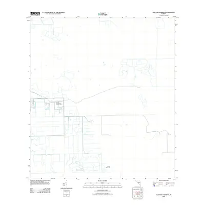 2012 Doctors Hammock2012 Print · USGSFlorida's interior wetlands near the Hendry-Collier border are documented here in the early twenty-first century. Researchers can trace the sophisticated canal systems surrounding Doctors Hammock, Dozier Hammock, and the Hendry Correctional Institute Airport.
- 2012 Map of Belle Meade NE, 2012 Print
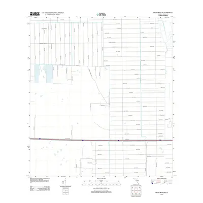 2012 Belle Meade NE2012 Print · USGSCollier County in the early twenty-first century reveals a massive, organized grid of residential planning amidst the Florida wetlands. Researchers can trace the development of this emerging community via Golden Gate Blvd W, Curry Island, and dozens of numbered avenues like 42nd Ave SE.
- 2012 Map of Felda, 2012 Print
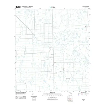 2012 Felda2012 Print · USGSThe rural agricultural lands of Hendry County are captured here just over a decade ago, showing a landscape defined by large-scale farming and private ranching. You can trace local family land use and heritage through labels like Felda, Duda Airstrip, and Willis Ranch Rd.
- 2012 Map of Sunniland, 2012 Print
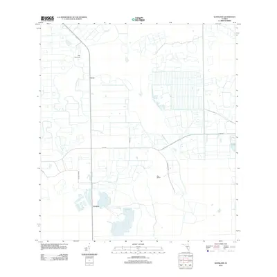 2012 Sunniland2012 Print · USGSThe agricultural interior of Florida is captured in the early twenty-first century, showing a landscape defined by irrigation and drainage. Researchers can trace land use patterns around Sunniland and Harker, and locate landmarks like Owl Hammock and Roberts Lake.
- 2012 Map of Naples North, 2012 Print
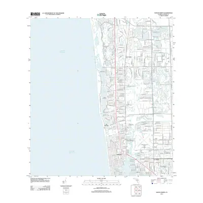 2012 Naples North2012 Print · USGSCoastal Florida is mapped in the early twenty-first century as suburban growth and maritime life converge along the Gulf. Researchers can trace the development of The Moorings, the flight paths from Naples Municipal Airport, and the winding course of the Gordon River.
- 2012 Map of North of Fortymile Bend, 2012 Print
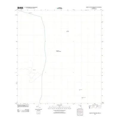 2012 North of Fortymile Bend2012 Print · USGSThe Florida Everglades in the early 2010s reveals a unique landscape of water management and indigenous settlements. Researchers can trace the locations of Mart Law Seminole Village, Sam Willie Seminole Village, and the site of Sam Franks Old Farm along the Levee 28 Tieback.
- 2012 Map of Fortymile Bend, 2012 Print
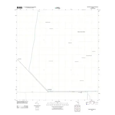 2012 Fortymile Bend2012 Print · USGSThe Florida Everglades in the early 2010s reveal a landscape of isolated family camps and tribal settlements. Trace Miccosukee and Seminole history through sites like Pete Osceolas Seminole Village, Smallpox Tommies Old Place, and Fortymile Bend.
- 2012 Map of Corkscrew SE, 2012 Print
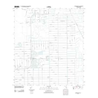 2012 Corkscrew SE2012 Print · USGSCollier County in the early twenty-first century reveals a striking grid of development carved into the Everglades. Researchers can trace the layout of Orangetree and find landmarks like Big Corkscrew Island and the Pine Tree Golf Course.
- 2012 Map of Cow Bone Island, 2012 Print
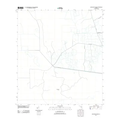 2012 Cow Bone Island2012 Print · USGSCollier County in the early twenty-first century reveals a landscape of ranching and water management. Researchers can trace land divisions and local history through landmarks like McDaniels Rnch, Billy Fraser Rd, and the W Feeder Canal.
- 2012 Map of North of Fiftymile Bend, 2012 Print
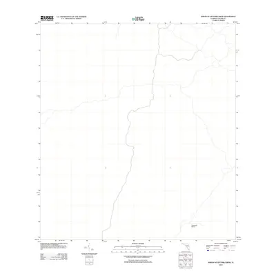 2012 North of Fiftymile Bend2012 Print · USGSCollier County’s wetland interior is captured here as it appeared in the early twenty-first century. For researchers of the Everglades landscape, this map identifies the position of Threemile Island amidst a complex network of natural waterways.
- 2012 Map of West of Horseshoe Head, 2012 Print
 2012 West of Horseshoe Head2012 Print · USGSCovers Collier County, including Broward County, United States, and other nearby areas
- 2012 Map of Fiftymile Bend, 2012 Print
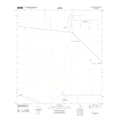 2012 Fiftymile Bend2012 Print · USGSBig Cypress National Preserve in the early 2010s remains a remote stretch of the Everglades where isolated settlements are few. Local researchers can locate Pinecrest, the outposts at Trail City, and landmarks like Corn Dance Hammock along the road to Fiftymile Bend.
- 2012 Map of Naples South, 2012 Print
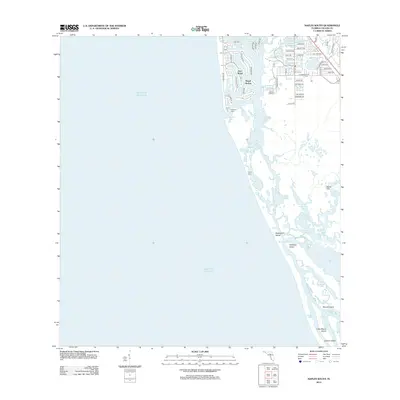 2012 Naples South2012 Print · USGSCoastal Collier County in the early twenty-first century reveals a striking contrast between the luxury canals of Port Royal and the wilderness of the south. Trace the maritime landscape from Gulf Shores Marina down to the remote reaches of Little Marco Island and Halloway Island.
- 2012 Map of Immokalee SW, 2012 Print
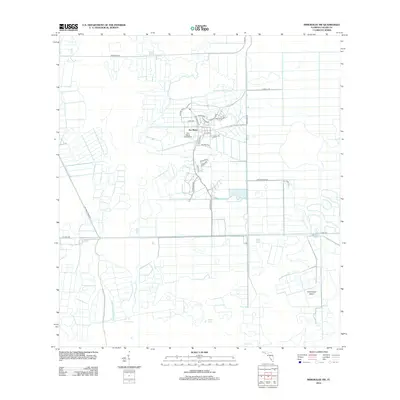 2012 Immokalee SW2012 Print · USGSFlorida's interior near the Big Cypress Swamp was undergoing a major transformation in the early twenty-first century. Researchers can trace the development of Ave Maria University and local landmarks like Smallwood Island and Cox Lake.
- 2012 Map of Whidden Lake, 2012 Print
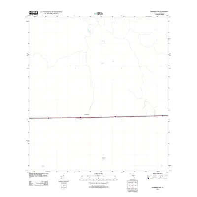 2012 Whidden Lake2012 Print · USGSThe Florida Everglades in the early twenty-first century are captured here in a moment of remote transit and wetland conservation. Researchers can locate the seasonal Mullet Slough and the isolated outpost of Fruit Fly Camp north of the highway.
- 2012 Map of Corkscrew, 2012 Print
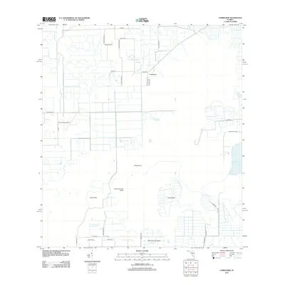 2012 Corkscrew2012 Print · USGSThe Collier County wetlands south of the Caloosahatchee appear here in the early twenty-first century, showing a mix of rural aviation and remote island landforms. Researchers can trace the layout of Corkscrew and find unique landmarks like Corkscrew Trace Airport and Big Corkscrew Island.
- 2012 Map of Immokalee NE, 2012 Print
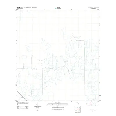 2012 Immokalee NE2012 Print · USGSCollier County’s agricultural landscape is seen here during a period of intensive land management and infrastructure growth. Researchers can trace the development of local transit routes such as Dupree Grade, Co Rd 858, and Thorp Rd.
- 2012 Map of Deep Lake, 2012 Print
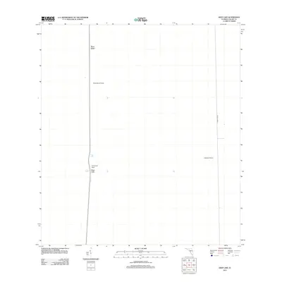 2012 Deep Lake2012 Print · USGSCollier County’s wetland interior is documented here just after the turn of the millennium, showing a landscape defined by cypress heads and open water. Researchers can trace the layout of the Deep Lake settlement and terrain features like Airplane Prairie and Rock Island.
- 2012 Map of Miles City, 2012 Print
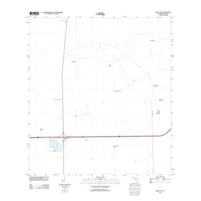 2012 Miles City2012 Print · USGSCollier County's wetland interior is documented here in the early twenty-first century, where modern roads intersect ancient landscapes. Researchers can locate the East Hinson Indian Mounds, the Miles City Lookout Tower, and the uniquely named Model T Flat.
- 2012 Map of Deep Lake SW, 2012 Print
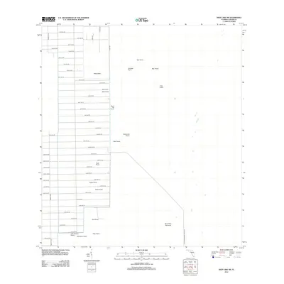 2012 Deep Lake SW2012 Print · USGSCollier County’s eastern frontier meets the Everglades in the early twenty-first century as modern grid expansion pushes toward the wetlands. Researchers can trace the intersection of development and nature across Twelvemile Prairie, Royal Palm Hammock, and Pretty Island.
- 2012 Map of Belle Meade, 2012 Print
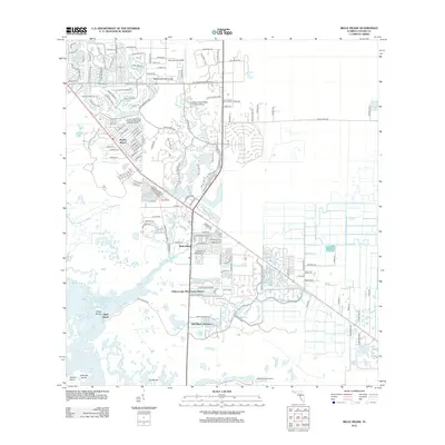 2012 Belle Meade2012 Print · USGSCollier County's coastal landscape is captured here in the early twenty-first century as suburban growth meets the Florida wetlands. Researchers can trace the development of Naples Manor, locate Old Marco Junction, and explore the shoreline of Rookery Bay.
- 2012 Map of Belle Meade SE, 2012 Print
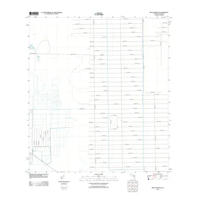 2012 Belle Meade SE2012 Print · USGSCollier County near Belle Meade appears here during a period of systematic agricultural development and rural expansion. Researchers can trace the grid of local thoroughfares and farm-to-market routes like Six L's Farm Rd, Stewart Blvd, and Tomato Rd.
Showing maps 1-25 of 255
Top cities of Collier County
- Immokalee historical maps
- Immokalee historical maps
- Naples historical maps
- Marco Island historical maps
- Lely Resort historical maps
- Pelican Bay historical maps
See more
Frequently asked questions
- What are the different types of historical maps available for Collier County?
- What is the oldest map of Collier County?
- Where can I purchase historical maps of Collier County for my home or office?
- Where can I download high-res historical maps of Collier County?
- Are there historical topographic maps available for Collier County?
- Is there historical aerial imagery available for Collier County?
- Where are historical maps of Collier County sourced from?