2020s Maps of Highlands County, Florida
Explore 58 historic maps of Highlands County from the 2020s. These maps offer a rare glimpse into what life looked like during the 2020s — showing old roads, neighborhoods, homes, and landmarks that have changed or disappeared over time.
Whether you're researching your family's past, planning a metal detecting trip, or studying how Highlands County's landscape evolved across the 2020s, these high-resolution maps are a powerful tool for exploring the history of this region.
- Focus on a specific era: All maps on this page are from the 2020s, giving you a focused view of this time period.
- See what’s changed: Compare century-old streets, trails, and buildings to today's modern landscape using overlays and satellite layers.
- Research with precision: Use these maps for genealogy, historical research, land use analysis, or educational projects.
- View, download, or print: Maps are fully viewable online in high resolution, and can be downloaded or printed for your own records.
Start exploring Highlands County's history through authentic maps from the 2020s. This is your window into the past.
Highlands County, FL maps
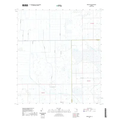
(58)- 2021 Map of Taylor Creek SW, 2021 Print
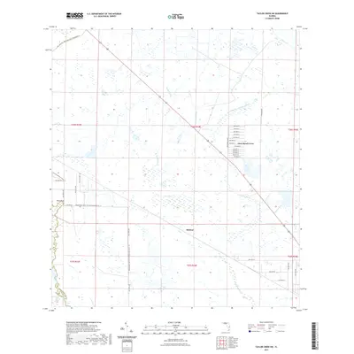 2021 Taylor Creek SW2021 Print · USGSCovers Highlands County, including Dixie Ranch Acres, Mildred, and other nearby areas
 - 2021 Map of Okeechobee NW, 2021 Print
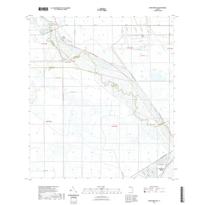 2021 Okeechobee NW2021 Print · USGSCovers Highlands County, including Buckhead Ridge, Okeechobee County, and other nearby areas
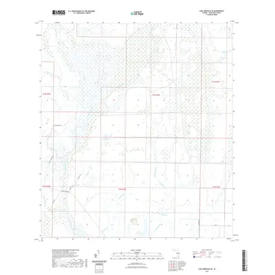
 - 2021 Map of Lake Arbuckle SW, 2021 Print
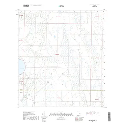
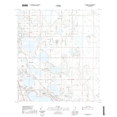 2021 Lake Arbuckle SW2021 Print · USGSCovers Highlands County, including Avon Park, Sebring, and other nearby areas
 - 2021 Map of Crewsville, 2021 Print
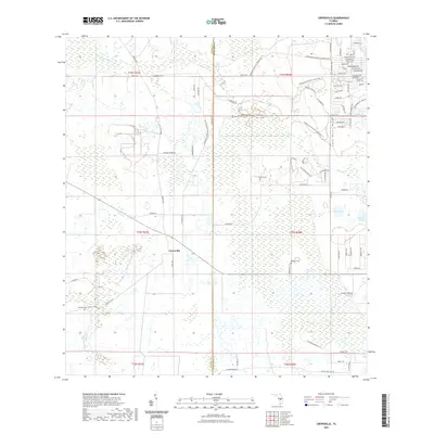 2021 Crewsville2021 Print · USGSCovers Highlands County, including Crewsville, Hardee County, and other nearby areas
 - 2021 Map of Basinger, 2021 Print
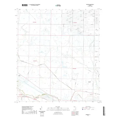 2021 Basinger2021 Print · USGSCovers Highlands County, including Basinger, Cornwell, and other nearby areas
 - 2021 Map of Lake Arbuckle, 2021 Print
 2021 Lake Arbuckle2021 Print · USGSCovers Highlands County, including Avon Park, Frostproof, and other nearby areas
 - 2021 Map of Lake June In Winter, 2021 Print
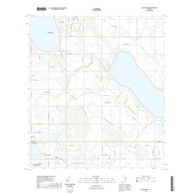
 2021 Lake June In Winter2021 Print · USGSCovers Highlands County, including Lake Placid, Hen Scratch, and other nearby areas
 - 2021 Map of Long Island Marsh SE, 2021 Print
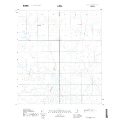
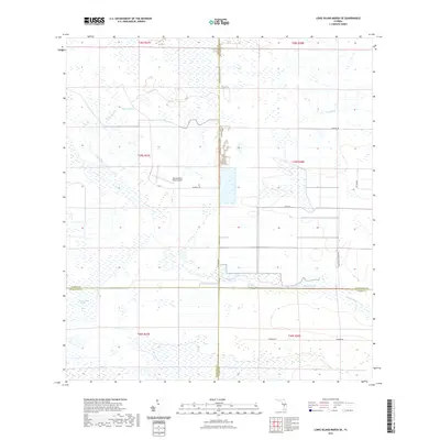 2021 Long Island Marsh SE2021 Print · USGSCovers Highlands County, including Charlotte County, DeSoto County, and other nearby areas
 - 2021 Map of Brighton NW, 2021 Print
 2021 Brighton NW2021 Print · USGSCovers Highlands County, including Glades County, United States, and other nearby areas
 - 2021 Map of Fort Kissimmee NW, 2021 Print
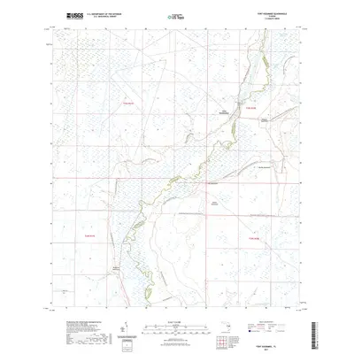
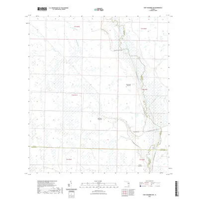 2021 Fort Kissimmee NW2021 Print · USGSCovers Highlands County, including Polk County, Osceola County, and other nearby areas
 - 2021 Map of Crewsville SE, 2021 Print
 2021 Crewsville SE2021 Print · USGSCovers Highlands County, including Negrotown Knoll, DeSoto County, and other nearby areas
 - 2021 Map of Brighton, 2021 Print
 2021 Brighton2021 Print · USGSCovers Highlands County, including Brighton, Glades County, and other nearby areas
 - 2021 Map of Lorida, 2021 Print
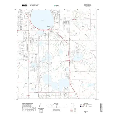
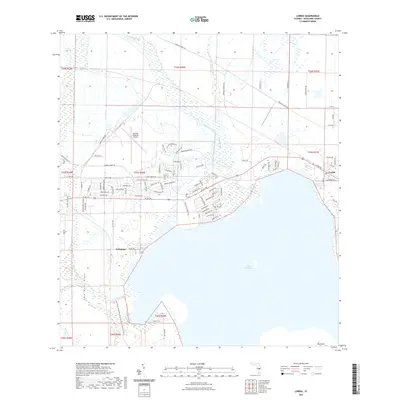 2021 Lorida2021 Print · USGSCovers Highlands County, including Istokpoga, Lorida, and other nearby areas
 - 2021 Map of Venus NW, 2021 Print
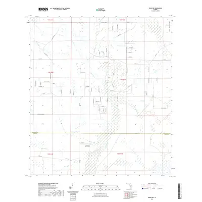
 2021 Venus NW2021 Print · USGSCovers Highlands County, including Placid Lakes, United States, and other nearby areas
 - 2021 Map of Frostproof, 2021 Print
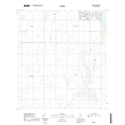
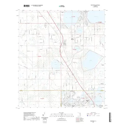 2021 Frostproof2021 Print · USGSCovers Highlands County, including Avon Park, Frostproof, and other nearby areas
 - 2021 Map of Sebring, 2021 Print
 2021 Sebring2021 Print · USGSCovers Highlands County, including Sebring, Kuhlman, and other nearby areas
 - 2021 Map of Fort Kissimmee, 2021 Print
 2021 Fort Kissimmee2021 Print · USGSCovers Highlands County, including Okeechobee County, United States, and other nearby areas
 - 2021 Map of Lake Arbuckle NE, 2021 Print
 2021 Lake Arbuckle NE2021 Print · USGSCovers Highlands County, including Polk County, United States, and other nearby areas
 - 2021 Map of Brighton SW, 2021 Print
 2021 Brighton SW2021 Print · USGSCovers Highlands County, including Glades County, United States, and other nearby areas
 - 2021 Map of Long Island Marsh NE, 2021 Print
 2021 Long Island Marsh NE2021 Print · USGSCovers Highlands County, including DeSoto County, United States, and other nearby areas
 - 2021 Map of Lake Arbuckle SE, 2021 Print
 2021 Lake Arbuckle SE2021 Print · USGSCovers Highlands County, including United States, Florida, and other nearby areas
 - 2021 Map of Venus, 2021 Print
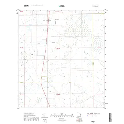 2021 Venus2021 Print · USGSCovers Highlands County, including Venus, Glades County, and other nearby areas
 - 2021 Map of Venus SW, 2021 Print
 2021 Venus SW2021 Print · USGSCovers Highlands County, including Glades County, United States, and other nearby areas
 - 2021 Map of Fort Basinger, 2021 Print
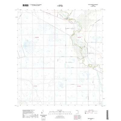 2021 Fort Basinger2021 Print · USGSCovers Highlands County, including Fort Basinger, Okeechobee County, and other nearby areas
 - 2021 Map of Lake Placid, 2021 Print
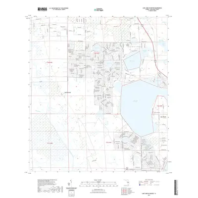
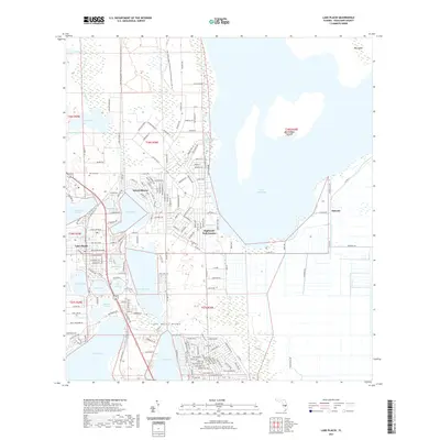 2021 Lake Placid2021 Print · USGSCovers Highlands County, including Lake Placid, Sunvale, and other nearby areas
Showing maps 1-25 of 58
Top cities of Highlands County
Frequently asked questions
- What are the different types of historical maps available for Highlands County?
- What is the oldest map of Highlands County?
- Where can I purchase historical maps of Highlands County for my home or office?
- Where can I download high-res historical maps of Highlands County?
- Are there historical topographic maps available for Highlands County?
- Is there historical aerial imagery available for Highlands County?
- Where are historical maps of Highlands County sourced from?