Old Maps of Avon Park, Florida for Academic Research
Study the evolution of Avon Park with 29 high-resolution historic maps. Whether you're teaching, researching, or modeling changes in land use, these maps provide essential visual documentation of urban, environmental, and geographic change.
- Analyze long-term change: Track patterns in development, transportation, and natural features.
- Ideal for environmental or urban studies: Support academic projects with primary historical map data.
- Use in the classroom or lab: Educators and researchers rely on these maps to bring historical context to life.
These maps are a powerful tool for teaching, research, and visualizing how Avon Park has changed over the decades.
Avon Park, FL maps
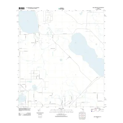
(29)- 1952 Map of Lake Arbuckle SW, 1953 Print
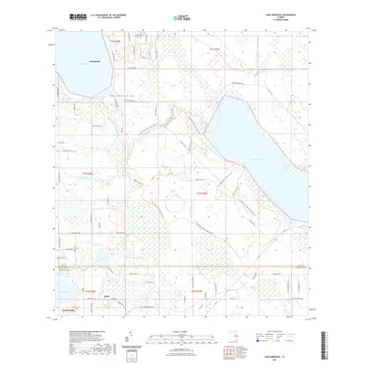
 1952 Lake Arbuckle SW1953 Print · USGSThe Florida highlands south of Avon Park are captured here in the early fifties, showing a landscape of citrus groves and rail-side towns. Genealogists and historians can locate Lakeside Cem, the Fish Hatchery (Abandoned), and the rail junctions of Lakemont.4 unique versions available
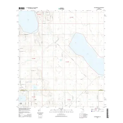
 - 1952 Map of Lake Arbuckle, 1953 Print
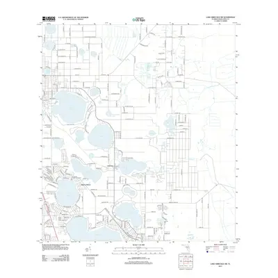
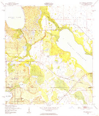 1952 Lake Arbuckle1953 Print · USGSThe Florida interior during the early fifties reveals a landscape shaped by military expansion and natural hydrology. Genealogists and historians can trace the U S Government Railroad and the small settlement of Alpine near Lake Pythias.3 unique versions available
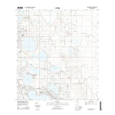
 - 1953 Map of Frostproof, 1954 Print
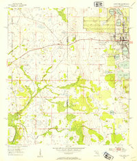
 1953 Frostproof1954 Print · USGSFrostproof and the surrounding Florida lake country are shown in the early fifties as the region's citrus and rail economy flourished. Researchers can trace the junction of the Seaboard Air Line and find rural landmarks like Maxcy Quarters and Corinth Ch.5 unique versions available
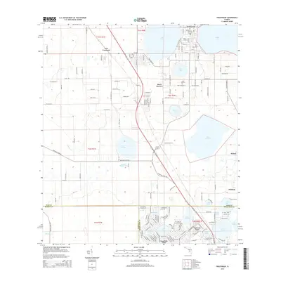
 - 1953 Map of Avon Park, 1954 Print
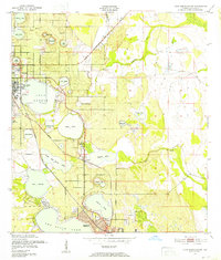
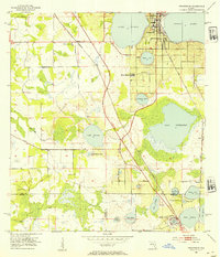
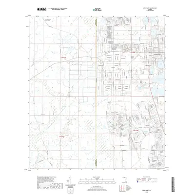
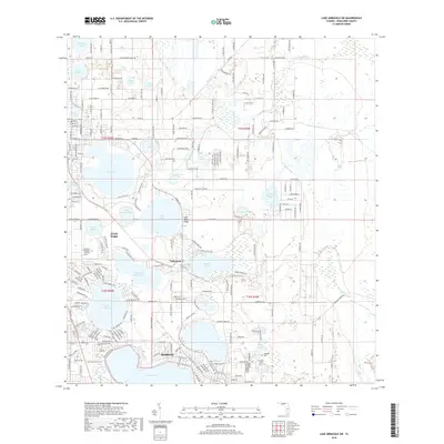
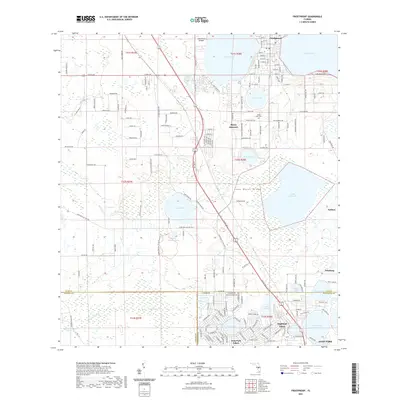
 1953 Avon Park1954 Print · USGSCovers Avon Park, including Highlands County, Hardee County, and other nearby areas4 unique versions available
 - 1956 Map of Fort Pierce, 1965 Print
 1956 Fort Pierce1965 Print · USGSCentral and coastal Florida appear here during a period of rapid post-war growth and industrial expansion. Researchers can trace the mid-century rail-to-highway transition along the Sunshine State Parkway or locate old settlements like Ankona, Walton, and Indrio.4 unique versions available
 - 1958 Map of Fort Pierce
 1958 Fort Pierce1958 Print · USGSCentral and South Florida are captured here in the late fifties as the citrus and ranching interior met the modern highway era. Researchers can trace the early path of the Sunshine State Parkway and locate established rail depots in Sebring, Okeechobee, and Arcadia.
 - 1959 Map of Fort Pierce
 1959 Fort Pierce1959 Print · USGSCentral Florida and the Treasure Coast are shown here in the late fifties, during a period of steady citrus and coastal growth. Trace the historic routes of the Florida East Coast Ry or locate the boundaries of the Seminole Indian Reservation and Highlands Hammock State Park.3 unique versions available
 - 1978 Map of Bartow, 1980 Print
 1978 Bartow1980 Print · USGSCentral Florida during the late seventies was a landscape of industrial phosphate mines and expansive lake systems. Trace the legacy of the Seaboard Coast Line as it connects Fort Meade, Wauchula, and the massive Avon Park Bombing Range.2 unique versions available
 - 1988 Map of Fort Pierce
 1988 Fort Pierce1988 Print · USGSThe Atlantic coast and Florida’s interior lakelands are captured in the late eighties, just as the Treasure Coast was experiencing rapid development. Genealogists and historians can trace the rail lines of the Florida East Coast and explore the bounds of the Brighton Indian Reservation.
 - 2012 Map of Frostproof, 2012 Print
 2012 Frostproof2012 Print · USGSCovers Avon Park, including Frostproof, Sun Ray, and other nearby areas
 - 2012 Map of Lake Arbuckle, 2012 Print
 2012 Lake Arbuckle2012 Print · USGSCovers Avon Park, including Frostproof, Alpine, and other nearby areas
 - 2012 Map of Lake Arbuckle SW, 2012 Print
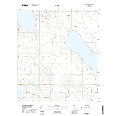
 2012 Lake Arbuckle SW2012 Print · USGSCovers Avon Park, including Sebring, Maranatha Village, and other nearby areas
 - 2012 Map of Avon Park, 2012 Print
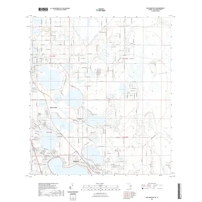
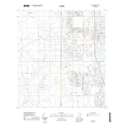
 2012 Avon Park2012 Print · USGSCovers Avon Park, including Highlands County, Hardee County, and other nearby areas
 - 2015 Map of Avon Park, 2015 Print
 2015 Avon Park2015 Print · USGSCovers Avon Park, including Highlands County, Hardee County, and other nearby areas
 - 2015 Map of Lake Arbuckle, 2015 Print
 2015 Lake Arbuckle2015 Print · USGSCovers Avon Park, including Frostproof, Alpine, and other nearby areas
 - 2015 Map of Frostproof, 2015 Print
 2015 Frostproof2015 Print · USGSCovers Avon Park, including Frostproof, Sun Ray, and other nearby areas
 - 2015 Map of Lake Arbuckle SW, 2015 Print
 2015 Lake Arbuckle SW2015 Print · USGSCovers Avon Park, including Sebring, Maranatha Village, and other nearby areas
 - 2018 Map of Avon Park, 2018 Print
 2018 Avon Park2018 Print · USGSCovers Avon Park, including Highlands County, Hardee County, and other nearby areas
 - 2018 Map of Frostproof, 2018 Print
 2018 Frostproof2018 Print · USGSCovers Avon Park, including Frostproof, Sun Ray, and other nearby areas
 - 2018 Map of Lake Arbuckle, 2018 Print
 2018 Lake Arbuckle2018 Print · USGSCovers Avon Park, including Frostproof, Alpine, and other nearby areas
 - 2018 Map of Lake Arbuckle SW, 2018 Print
 2018 Lake Arbuckle SW2018 Print · USGSCovers Avon Park, including Sebring, Maranatha Village, and other nearby areas
 - 2021 Map of Lake Arbuckle SW, 2021 Print
 2021 Lake Arbuckle SW2021 Print · USGSCovers Avon Park, including Sebring, Maranatha Village, and other nearby areas
 - 2021 Map of Lake Arbuckle, 2021 Print
 2021 Lake Arbuckle2021 Print · USGSCovers Avon Park, including Frostproof, Alpine, and other nearby areas
 - 2021 Map of Frostproof, 2021 Print
 2021 Frostproof2021 Print · USGSCovers Avon Park, including Frostproof, Sun Ray, and other nearby areas
 - 2021 Map of Avon Park, 2021 Print
 2021 Avon Park2021 Print · USGSCovers Avon Park, including Highlands County, Hardee County, and other nearby areas
Showing maps 1-25 of 29
Top cities near Avon Park
Top neighborhoods of Avon Park
- Lakeside Villas historical maps
- Lemon Tree historical maps
- Oaks Village historical maps
- Oaks at Avon historical maps
- Avon Park Holiness Camp historical maps
- Breezeway historical maps
See more
Frequently asked questions
- What are the different types of historical maps available for Avon Park?
- What is the oldest map of Avon Park?
- Where can I purchase historical maps of Avon Park for my home or office?
- Where can I download high-res historical maps of Avon Park?
- Are there historical topographic maps available for Avon Park?
- Is there historical aerial imagery available for Avon Park?
- Where are historical maps of Avon Park sourced from?